European Dominions of the Ottomans or Turkey in Europe..
Very detailed map of Turkey, Greece and the Black Sea. Northern part of Cyprus is included. Railways indicated.James Wyld (the younger) was geographer to the Queen and H....
Place & Date: London, 1855/1864
Selling price: $150
Sold in 2009
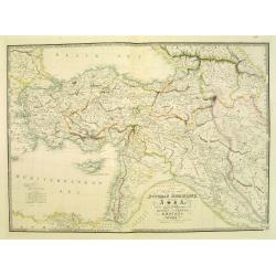
Map of the Ottoman Dominions in Asia. . .
Very detailed map of Turkey, Palestine, Azerbijan, Kurdistan, Georgia and Cyprus.James Wyld (the younger) was geographer to the Queen and H.R.H. Prince Albert. Joined his...
Place & Date: London, 1855/1864
Selling price: $190
Sold in 2009
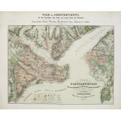
Plan de Constantinople avec ses faubourgs, le port et une partie du Bosphore..
Decorative and very detailed plan of Istanbul and its environs. With title and dedication in German and French. Lower part key to symbols.Rare in this uncut state, usuall...
Place & Date: Berlin 1870
Selling price: $1200
Sold in 2015
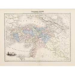
Turquie d'Asie
Decorative map of Turkey from Géographie Universelle, Atlas Migeon. published by J. Migeon. Very nice engraving of a view of Izmir (Smirna, Smyrna). Engraving by Sengtel...
Place & Date: Paris, 1874
Selling price: $15
Sold in 2009
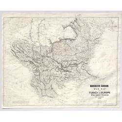
Manchester Guardian War Map of Turkey in Europe with Latest Divisions and Railways 1876.
A fine detailed War Map of Turkey in Europe with Latest Divisions and Railways 1876. It was an insert in the Manchester Gaurdian newspaper. It was published by W. & K...
Place & Date: Edinburgh, 1876
Selling price: $40
Sold in 2019
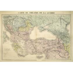
Carte du théatre de la guerre.
Very detailed map centered on the Black Sea and Cremea, including Turkey, Greece, Cyprus, etc. The map is hand colored according to the color key in the lower left. Uncom...
Place & Date: Paris, ca. 1877
Selling price: $200
Sold in 2010
Carte du Théatre de la Guerre en Orient supplement au journal Le Temps du 30 avril 1877.
Map of the 1877 Russo-Turkish war. Drawn and engraved by R. Hausermann, 27 Rue St Andre des Arts Paris.The Russo-Turkish War of 1877-1878 had its origins in a rise in nat...
Place & Date: Paris, after 1877
Selling price: $10
Sold in 2009
Carte commerciale de la province de Thrace. . .
Rare separately issued folding example of Bianconi's map of the European part of Turkey. F Bianconi directed a series of "Carte commerciale" of all countries; t...
Place & Date: Paris, Librairie Chaix, 1885
Selling price: $200
Sold in 2012
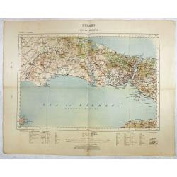
Turkey - Constantinople.
Rare and detailed map ( 1: 250.000) centered on Istanbul, with the Sea of Marmara and the Bosporus, published by the War Office.With scales in miles and kilometers, and t...
Place & Date: London , 1909
Selling price: $150
Sold in 2016
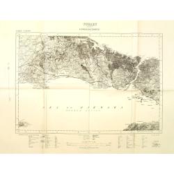
Turkey Constantinople.
War office map centered on Bosporus with Constantinople and the Sea of Marmara. Scale 1: 250.000. With key in bottom part.
Place & Date: London, 1909
Selling price: $110
Sold in 2011
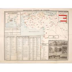
Instruction publique en Turquie.
Very rare separately published map of Turkey. In lower right insets of photo's of different schools, libraries and high schools in Istanbul. In upper left corner an inset...
Place & Date: Societe anonyme de Papeterie et d'Imprimerie, Constantinople, 1919
Selling price: $190
Sold in 2016
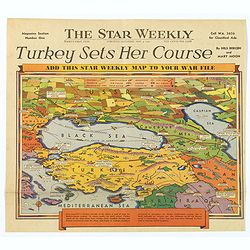
Turkey Sets Her Course / Behind Mediterranean Front.
Two unusual pictorial maps on World War II in Europe, from a Toronto based Canadian weekly newspaper. First map shows Turkey and her surrounding countries, with major tow...
Place & Date: Toronto, 1940
Selling price: $50
Sold in 2017
Turkey in Asia.
Very detailed map of Turkey. Inset of Cyprus. The map was printed from lithographic stones taken from a hand-engraved steel plate. The cartographer John Bartholomew of Ed...
Place & Date: Edinburg
Selling price: $100
Sold in 2017
CONSTANTINOPOLIS.
A striking view of Constantinopolis showing ships and the town's discrits. Folded as issued. On upper right "Pag. 293".
Place & Date: 18th century
Selling price: $200
Sold in 2020

