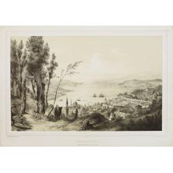
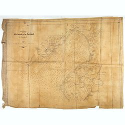
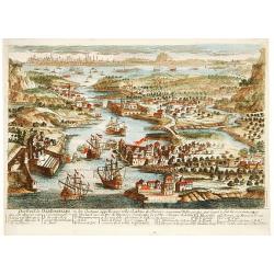
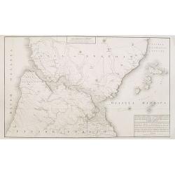
La Destruction de la flotte ottomanne par l'escadre russe sous les ordres de S.E. Mr le comte Orlow. Dans le port de Chisme la nuit du 7m juillet 1770 [together with] (Map of Bay between Cesme and Cios)
Very rare separately published print showing the siege of Cesme on 7th July 1770. The battle took place during the Russian Turkish war of 1768-1774 at Cesme, near Izmir i...
Place & Date: Paris, after 1770
Selling price: $600
Sold in 2015
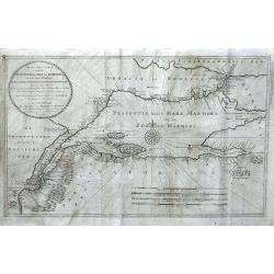
Nieuwe Zee-Caart van de Propontis of Zee van Marmora, met de Twee Straaten Hellespont en t Naauw van Constantinopolen... P.D. Bohn 1770...
Very rare chart depicting the Sea of Marmora and the surrounding regions, including Constantinopel, Hellespont, the Dardeanelle Strait, part of Turkey and Greece. chart i...
Place & Date: Amsterdam, 1770
Selling price: $800
Sold in 2016
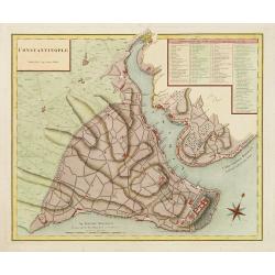
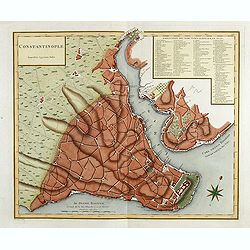
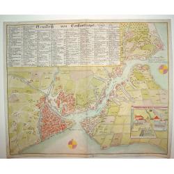
Grundrik Von Constantinopel
An uncommon and superbly engraved plan of Constantinople. There is a charming inset of the Sultan's Palace in the lower right section of the plate. In the upper portion o...
Place & Date: Hamburg, ca. 1771
Selling price: $1275
Sold
Turcia Asiatica exhibens Natoliam Modernam [shows Cyprus].
A beautifully colored, regional map, extending from Cyprus and Greece in the west to the Caspian Sea in the East and centered on Asia Minor, Aremenia, Iraq and Turkey. A ...
Place & Date: Nuremberg, 1771
Selling price: $200
Sold in 2020
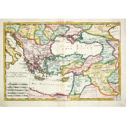
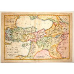
La Turquie d? Europe et celle d?Asie.
Rigobert Bonne (1727-1795), French cartographer. His maps are found in a.o. Atlas Moderne (1762), Raynal's Histoire Philos. du Commerce des Indes (1774) and Atlas Encyclo...
Place & Date: Paris, 1774
Selling price: $80
Sold
[Set of six costume plates of the Ottoman Empire.]
Fine and decorative hand colored engraved prints, from "Recueil des differents costumes des principaux Officiers et Magistrats de la Porte...".A complete set of...
Place & Date: Paris, 1775
Selling price: $500
Sold in 2021
Destroit des Dardanelles..
Decorative view of Istanbul and 'Hellespont'. With a numbered key (1-20) in bottom. Profile view of Istanbul and the Marmora Sea on the horizon.
Place & Date: Paris 1780
Selling price: $190
Sold
Mappa geographica Asiae Minoris Antiquae..
A detailed of Turkey, Black Sea and Cyprus.
Place & Date: Germany c.1780
Selling price: $90
Sold
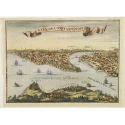
Veue de Constantinople.
Naïve panoramic view of Istanbul.
Place & Date: Paris 1780
Selling price: $90
Sold
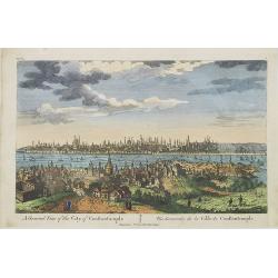
A General View of the City of Constantinople / Vue Générale de la Ville de Constantinople.
A panoramic view of Constantinople. Printed for F. West 83 Fleet Street, London.
Place & Date: London, c.1780
Selling price: $200
Sold in 2009
Monument de Mausoli batis par Arthemise mis au nombre d'une des 7 merveille du Monde.
Optical print from the series of 7 engravings "Seven wonders of the ancient world". Showing the Temple of Artemis at Ephesus.Located in Bodrum, about 50 km sout...
Place & Date: Paris, 1780
Selling price: $150
Sold in 2013
Vue du superbe Temple de Ste Sophie aujourd'huy Mosquée principale à Constantinople.
A fanciful depiction of the Aya Sofya in Istanbul. In the eighteenth and nineteenth centuries there were many popular specialty establishments in Paris, Augsburg and Lond...
Place & Date: Paris, 1780
Selling price: $180
Sold in 2013
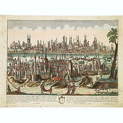
Constantinopolis.
Beautiful optical printof Constantinople, the capital of the Ottoman Empire between 1453 and 1922. It was officially renamed to its modern Turkish name Istanbul in 1930, ...
Place & Date: Augsburg, 1780
Selling price: $475
Sold in 2012
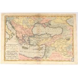
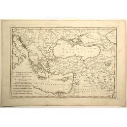
La Turquie d'Europe et Celle D'Asie.
A fine example of Rigobert Bonne and Guilleme Raynal's 1780 map of Turkey in Europe and Asia. This map of the Ottoman Empire includes the areas stretching from Italy, Hun...
Place & Date: Paris, c1780
Selling price: $70
Sold in 2016
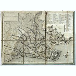
Constantinople.
Plan of Constantinople engraved by Tardieu, decorated with a rose of the winds. The names on the plan are written in Turkish, the key (1 - 86) in French.
Place & Date: Paris, 1780
Selling price: $140
Sold in 2023
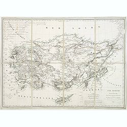
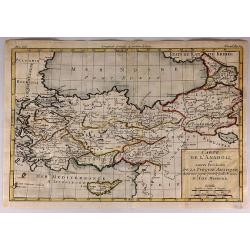
Carte de L'Anadoli et Autres Provinces de la Turquie Asiatique...
A striking, copper engraved map of Anatolia. The map covers Turkey, Armenia, Cyprus, a bit of Georgia, the northern tip of Syria, and the coast of Romania. The map provid...
Place & Date: Paris, 1780
Selling price: $45
Sold in 2017
La Turquie d'europe et Celle d'Asie.
Fine example of Bonne’s 1780 map of Turkey in Europe and Asia. This map of the Ottoman Empire includes the areas stretching from Italy, Hungary, and modern day Austria ...
Place & Date: Paris, 1780
Selling price: $12
Sold in 2019
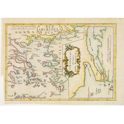
Der Archipelaagus. / Vorstellung des Canals bey den Dardanellen.
Very unusual map south eastern part of Greece and the west coast of Turkey. In right hand part a map of Strait Dardanelles.
Place & Date: Germany c.1781
Selling price: $120
Sold
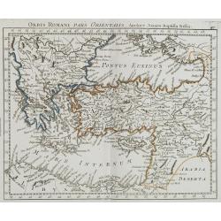
Orbis Romani Pars Orientalis. . .
Unusual map of Ancient Turkey, including a curiously shaped Cyprus, prepared by Nolin and published by L.J. Mondhare for his Atlas Général a l'usage des colleges et mai...
Place & Date: Paris, 1781
Selling price: $80
Sold in 2023
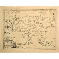
Turkey in Asia.
Original copperplate map by Thomas Jefferys in 1782, engraved by H. Gavin, and published in Thomas Salmon's “The New Universal Geographical Grammar”. Features figura...
Place & Date: London, 1782
Selling price: $6
Sold in 2019
Orbi Romani Pars Orientalis. . .
Unusual map of Ancient Turkey, including a curiously shaped Cyprus, prepared by J.B.Nolin and published by Monhare for his Atlas Général a l'usage des colleges et maiso...
Place & Date: Paris, 1783
Selling price: $180
Sold in 2009
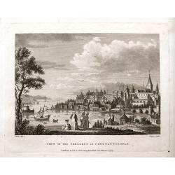
View of the Seraglio at Constantinople.
A rare engraved view after Metz, with people in the foreground and the city in the background. A ship and several small boats are on the river. This is the earliest state...
Place & Date: London, 1783
Selling price: $52
Sold in 2018
[Two maps] Carte de la Turquie d'Asie . . . Turquie d'Europe . . .
Attractive map of Turkey, ornated with a decorative title cartouche. Boundaries outlined in hand color.Prepared by Le Sieur Janvier, Jean Denis [Robert], French geographe...
Place & Date: Paris, ca 1783
Selling price: $25
Sold in 2019
Asia Minor in suas partes seu provincias divisa.
Detailed map of Asia Minor and contiguous Islands and the Black Sea region, including Cyprus.With fine rococo title cartouche in the upper left corner.The map was prepare...
Place & Date: Venice, 1776 - 1784
Selling price: $250
Sold
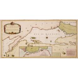
Carte de la Mer de Marmara du Canal des Dardanelles et de Celui de Constantinople. Levée sur les lieux en 1776
Detailed separately published engraved map in two sheets joined of the Sea of Marmara with in lower part inset map of Bospohrus, Carte de la ville de Constantinople et du...
Place & Date: Paris, Foucherot, Delamarche, 1784
Selling price: $1500
Sold in 2014
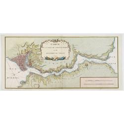
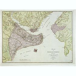
Carte de la ville de constantinople et du Bosphore de thrace 1785.
Detailed plan of Istanbul and the river Bosporus till the Black Sea. Taken from a larger map published by P.F. Tardieu and engraved by J. B. L. Aubert.
Place & Date: Paris, 1785
Selling price: $600
Sold in 2008
Turquie D'Asie a L'Exception de Enclaves Situees en Arabie.
Detailed, hand-colored, engraved map showing Turkey and parts of the Middle East and Near East. BONNE, RIGOBERT (1729-1795) Bonne was “Royal Hydrographer” and his pr...
Place & Date: Paris, 1787
Selling price: $31
Sold in 2015
La Turchia in Europe....
La Turchia in Europe. A map of Turkey in Europe including Greece from the Gulf of Venice and Italy to Crete / Candia, to the Crimea and Black Sea.Engraved by Giovanni Pet...
Place & Date: Rome, 1787
Selling price: $120
Sold in 2017
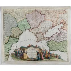
Charte von den oberhalb und seitwärts dem Schwarzen Meere gelegenen Russischen und Türkischen Ländern …
Very rare and detailed map of the black sea region, including parts of Ukraine, Turkey and Poland. In the lower part, a color key. Beautiful tittle cartouche with Empress...
Place & Date: Berlin, 1788
Selling price: $1500
Sold in 2023
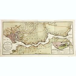
Plan de Constantinople et du Bosphore: pour servir de renseignement à la carte des limites des trois empires, ou théatre de la guerre présente, 1788.
Detailed map of the Bosporus, with inset map "Plan du Serrail", 7 x 16 cm. Scale: [Ca. 1:60 000]. Prepared by François Joseph Maire (Vienna, 1738 - c.1800). F....
Place & Date: Vienna, 1788-1789
Selling price: $450
Sold in 2014
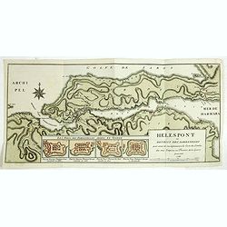
Hellespont ou Detroit des Dardanelles pour servir de renseignement a la Carte des Limites des trois Empires ou Théatre de la Guerre presente 1788.
Detailed map of the 65 km long strait of the Dardanelles between Aegean and Marmara Sea. In lower part four additional small plans (each 54x75 mm) entitled : "Les Fo...
Place & Date: Vienna, 1788-1789
Selling price: $750
Sold in 2014
Vue de La Place et de la Fontaine de Top-Hané.
So-called optical print of Tophane and Kılıç Ali Paşa Mosque. In the eighteenth and nineteenth centuries there were many popular speciality es...
Place & Date: Paris, 1790
Selling price: $300
Sold
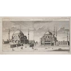
Aussicht der Kirchie St. Sophie zu Constantinopel / Die Solimannie zu Constantinopel, gestifftet von den dem Sultan Solimann.
From 'Algemeine Welthistorie (der Neuern Zeiten)', edited by S.J.Baumgarten, J.S.Semler a.o.The Sofia and the Soliman Moskee in Istanbul.
Place & Date: Halle, 1763-1792
Selling price: $120
Sold
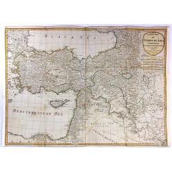
A New Map of Turkey in Asia...
A stunning large format, double page map of Turkey in Asia from Anatolia in the west to Persia in the east, by the French cartographer and geographer J. B. d'Anville. Th...
Place & Date: Paris, 1794
Selling price: $160
Sold in 2016
Vue du sperbe Temple de St.Sophie [. . .] a Constantinople.
A fanciful depiction of the Aya Sofya in Istanbul. In the eighteenth and nineteenth centuries there were many popular speciality establishments in Paris, Augsburg and Lon...
Place & Date: Paris, 1800
Selling price: $220
Sold in 2014
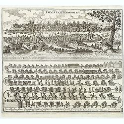
Constantinopolis.
Copper engraving with in top a panoramic view of Constantinople with a numbered key (1-27) and in lower part a the diplomatic convoy of Graf Damian Hugo von Virmondt ente...
Place & Date: Zittau, 1798-1800
Selling price: $1200
Sold in 2011
Plan de Constantinople leve par - F. Kaufer et I. B. Lechevalier. A Weimar au Burau d'Industrie 1803.
Large plan of Constantinople, the Golden Horn, the Bosporus and Scutari on the Asian side. With many engraved details, streets, villages, mosques, etc. The area outside t...
Place & Date: Weimar, Industrie Comptoire, 1803
Selling price: $500
Sold in 2015
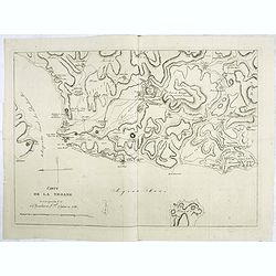
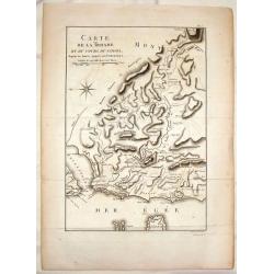
Carte de la Troade levée par les C. C. le Chevalier et L.F.Cassas en 1786.
Interesting map of Troad in Turkey and the Simois River. At the top is Mount Ida and the Egee Sea is at the bottom.Troy was a city situated in what is known from Classica...
Place & Date: Paris, 1803
Selling price: $50
Sold in 2022
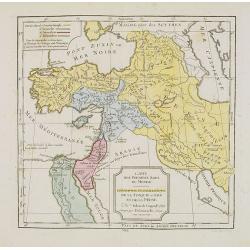
Carte des Premiers Ages du Monde. Géographie Ecclésiastique de la Turquie, d'Asie et de la Perse.
Map of the Arabian peninsula and Turkey. By C. F. Delamarche, successor of Robert de Vaugondy, Geographer.
Place & Date: Paris, 1794 -1806
Selling price: $5
Sold in 2023
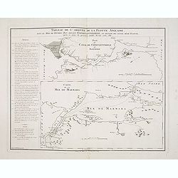
Tableau de l'arrivée de la Flotte Anglaise, dans le Mois de Février 1807, devant Constantinople, et retour de cette même flotte, après 10 jours de présence inutile devant cette ville.
Two maps on one sheet, with an extensive daily description of the mission of Sidney Smith who was sent to join Admiral Sir John Thomas Duckworth's expedition to Constanti...
Place & Date: Paris, ca. 1807
Selling price: $220
Sold in 2018
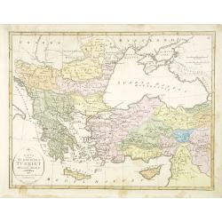
Türkey.
Nice small map of Turkey, including Greece, Holy Land, Cyprus, Armenia, etc. by Johannes Walch in his rare Allgemeiner Atlas Nach den bewährsten Hülfsmitteln und astron...
Place & Date: Augsburg, 1812
Selling price: $120
Sold in 2012
Carte de la Troade et du Cours du Simois.
Interesting map of Troad in Turkey and the Simois River. At the top is Mount Ida and the Egee Sea is at the bottom.Ambroise Tardieu (1788-1841) was a prominent French car...
Place & Date: Paris, c1815
Selling price: $7
Sold in 2016
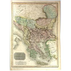
Turkish Dominions in Europe.
This is hand a colored map of 1815 of Greece & Turkey. It is beautifully engraved in the minimalist English style pioneered in the early part of the 19th century. It ...
Place & Date: Edinburgh, 1815
Selling price: $20
Sold in 2016
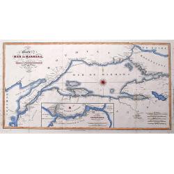
Carte de la Mer de Marmara, du Canal des Dardanelles et de Celui de Constantinople.
An unusual map of the Turkish Straits after Franz Kauffer, published by Neele in 1815. Includes the Dardanelles, the Sea of Marmara, and the Bosphorus with today's Istanb...
Place & Date: London, 1815
Selling price: $30
Sold in 2016
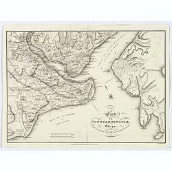
Carte de Constantinople. . .
A scarce map of Constantinople, from the English edition of Lechevalier's Voyage de la Propontide et du Pont-Euxin. A very detailed map of the city and its environs. Nume...
Place & Date: London, 1815
Selling price: $95
Sold in 2020
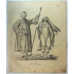
Couple From Turkey (111 ter Stamm).
A couple from Turkey. From a natural history or ethnographic folio by renowned Swiss artist and lithographer Carl (Karl) Joseph Brodtmann (1787-1862).Carl Joseph Brodtman...
Place & Date: Zurich, 1816
Selling price: $20
Sold in 2019
Carte de la ville de constantinople et du Bosphore de thrac.
Detailed map of the river Bosporus, with Istanbul and the Black Sea. Text in Greek. Engraved by S.I. Neele and Son.
Place & Date: London, ca. 1818
Selling price: $650
Sold in 2008
Interesting views in Turkey selected from the original drawings, taken for Sir Robert Ainslie, with descriptions historical and Illustrative.
The rare 8vo. edition was re-engraved to a smaller size, from Mayer's Views in the Ottoman dominions, 1810. The 8vo edition has 16 handcolored superb English aquatints of...
Place & Date: London, Robert Bowyer, 1819
Selling price: $1100
Sold in 2015
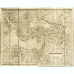
Carte de l'Empire Ottoman en Europe, en Asie et en Afrique, avec les pays limitrophes.
Large map on the Ottoman Empire, engraved and published by J. Alexis Orgiazzi, engraver for the Dépôt Général de la Guerre. It stretches from north to south between H...
Place & Date: J.A. Orgiazzi, Paris, 1822
Selling price: $240
Sold in 2012
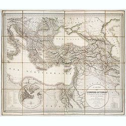
Carte de L'Empire Ottoman en Europe, en Asie et en Afrique, avec les pays limitrophes. . .
Large folding map of the Ottoman Empire, engraved and published by J. Alexis Orgiazzi. The map stretches from north to south between Hungary and Egypt and from west to ea...
Place & Date: Paris, 1822
Selling price: $325
Sold in 2013
[Mausoleum Teschou Lama]
Aquatint showing the Mausoleum Teschou Lama in Tibet. Plate N° 3. From Giulio Ferrario's work Le Costume ancien et moderne ou histoire du gouvernement, de la milice, de ...
Place & Date: Milan, 1827
Selling price: $100
Sold in 2010
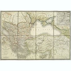
Carte du théatre de la guerre comprenant la Turquie d'Europe et d'asie. . .
Map of Turkey, Greece, east of Europe, Cyprus, Palestine, and Crime with the Black Sea region. Detailed map in the lower left corner a description of principal cities of ...
Place & Date: Paris, 1828
Selling price: $285
Sold in 2011
Carte de la turquie d'Europe et d'Asie. . .
Interesting map of the region of the Black Sea, published in the year at the outbreak of The Russo–Turkish War (1828–1829). The war broke out after the Sultan, incens...
Place & Date: Paris, 1828
Selling price: $200
Sold in 2011
Carte de l'Empire Ottoman en Europe, en Asie et en Afrique, avec les pays limitrophes.
A large map on the Ottoman Empire, engraved and published by J. Alexis Orgiazzi, engraver for the Dépôt Général de la Guerre. It stretches from north to south between...
Place & Date: Paris, 1828
Selling price: $110
Sold in 2018
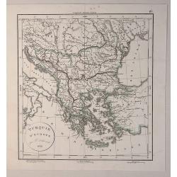
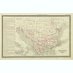
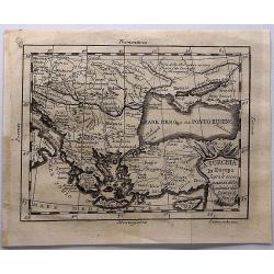
Turquie D'Europe.
A fine map of Turkey in Europe, from the “Atlas de la Géographie Ancienne du Moyen Age, et Moderne" by Delamarche in 1833 in Paris.Félix Delamarche was a French ...
Place & Date: Paris, 1828
Selling price: $23
Sold in 2020
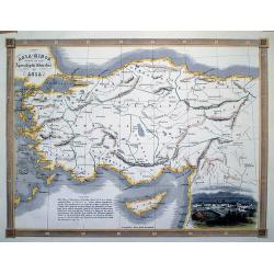
Asia-Minor Shewing the Seven Apocalyptic Churches of Asia.
Interesting map of Turkey and Cyprus, with ancient place names. Locates the Seven Churches and other places mentioned in the New Testament.With a vignette view of Tarsus.
Place & Date: London, c1830
Selling price: $43
Sold in 2012
Asie mineure Ancienne.
Fine map of ancient Turkey with Cyprus.From Malte-Brun's Atlas Géographie Universelle.., revised by Jean Jacques Nicolas Huot.This very fine executed map has been printe...
Place & Date: Paris, 1837
Selling price: $20
Sold
Asie Mineure..
Uncommon map of Turkey, Cyprus and Palestine. Lithography in very delicate hand colors with ,Route de Xenophon, marked in red.
Place & Date: Paris, 1840
Selling price: $50
Sold
Turquie d'Europe.
Finely engraved map of Greece, Bulgaria, Romania, Albania and the east coast of the Black Sea, prepared by A.H.Dufour and engraved by Giraldon-Bovinet. Published by Jules...
Place & Date: Paris, Jules Renouard, ca.1840
Selling price: $50
Sold in 2012
Asie mineure ou Natolie selon l'état actuel des connaissances. . .
Map of Turkey, including Cyprus prepared by Louis Vivien de Saint-Martin (1802-1897), who was French geographer born in Saint-Martin-de-Fontenay and died in Paris. He wro...
Place & Date: Paris, 1845
Selling price: $50
Sold in 2021
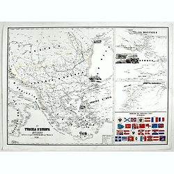
La Turchia d'Europa Milano dall'Editore Lithografo Antonio Vallardi. . .
Three maps on one sheet: to the left map of present Greece, with European part of Turkey, Marmara Sea and the west coast of Turkey. In the Black Sea a small panoramic vie...
Place & Date: Milan, ca. 1845
Selling price: $300
Sold in 2017
Karta öfver europeiska Turkiet och Mindre Asien.
An very rare map of Turkey with Greece and the Balkans still under Turkish occupation with Swedish text. This is an updated version of his map of 1821 and is now dated 18...
Place & Date: A. Wiborgs förlag, Stockholm, ca. 1848
Selling price: $195
Sold in 2015
JUIVE DE CONSTANTINOPLE. Costumes de l'Empire Ottoman 3.
A beautiful hand colored lithograph of an elegant Jewish woman from Constantinople published in the French work "Galerie Royale de Costumes peints d´après nature p...
Place & Date: Paris, Chez Aubert & Cie., 1842-1848
Selling price: $260
Sold in 2015
MARCHAND JUIF. A Constantinople. Costumes de l'Empire Ottoman 8.
A beautiful hand colored lithograph of a prominent Jewish merchant in Constantinople published in the French work "Galerie Royale de Costumes peints d´après nature...
Place & Date: Paris, Chez Aubert & Cie., 1842-1848
Selling price: $325
Sold in 2015
FEMME TURQUE. Costumes de l'Empire Ottoman 10.
A beautiful hand colored lithograph of Turkish woman published in the French work "Galerie Royale de Costumes peints d´après nature par divers artistes et lithogra...
Place & Date: Paris, Chez Aubert & Cie., 1842-1848
Selling price: $260
Sold in 2015
FEMME TURQUE VOILEE. Costumes de l'Empire Ottoman 6.
A beautiful hand colored lithograph of a Turkish veiled woman published in the French work "Galerie Royale de Costumes peints d´après nature par divers artistes et...
Place & Date: Paris, Chez Aubert & Cie., 1842-1848
Selling price: $205
Sold in 2015
GRECQUE de SMYRNE. Costumes de l'Empire Ottoman 2.
A beautiful hand colored lithograph of a Greek woman from Smyrn published in the French work "Galerie Royale de Costumes peints d´après nature par divers artistes ...
Place & Date: Paris, Chez Aubert & Cie., 1842-1848
Selling price: $200
Sold in 2015
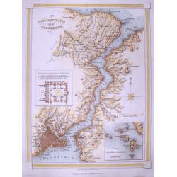
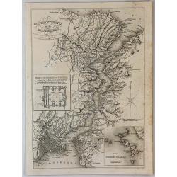
Constantinople and the Bosphorus.
A detailed map of Istanbul and the Bosphorus. With many place names, and two insets: One of the Mosque of St. Sophia; and one of the Princess islands.
Place & Date: London, c1850
Selling price: $36
Sold in 2014
Constantinople and the Bosphorus.
A detailed map of Istanbul and the Bosphorus. With many place names, and two insets: One of the Mosque of St. Sophia; and one of the Princess islands. By Findlay in Londo...
Place & Date: London, 1850
Selling price: $50
Sold in 2018
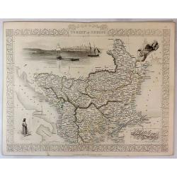
Turkey in Europe.
A striking map of European Turkey by John Tallis. It features decorative vignettes of Ali Pasha, The Bosphorus and Constantinople and a Greek Caloyer figure. There is als...
Place & Date: London, 1851
Selling price: $65
Sold in 2019
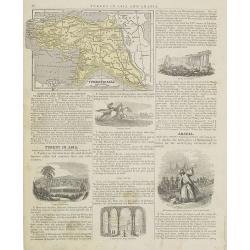
Turkey in Asia.
Map of Turkey. From Sidney E. Morse''s: System of Geography for the use of schools , published by Harper and brothers, 329 Pearl Street, New York.An 150 years old map wit...
Place & Date: New York, 1855
Selling price: $10
Sold in 2009
Constantinople - Vue prise de la tour du Séraskir.
Lithography on tinted grounds, with a panoramic view of the Bosphorus, with on foreground Istanbul. Printed by Wild, after a design of Bouquet and drawn on stone by Champ...
Place & Date: Paris, ca 1855
Selling price: $400
Sold in 2013
Asia Minor.
Very detailed and up-to-date map of Turkey including Cyprus. With numerous place names, roads connecting the towns, rivers, mountains, and regions. This is the uncommon ...
Place & Date: London, c1855
Selling price: $15
Sold in 2013
Coast of Syera Lykanderin Latakiah & marshal. 1858
Map showing the Gulf of İskenderun, at the foot of the Nur Mountains (Amanos Mountains).. The town of İskenderun in lower right. The map is dated 1858 ...
Place & Date: ca. 1858
Selling price: $300
Sold in 2020
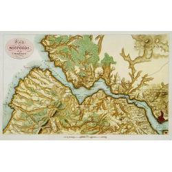
Karte des Bosporos und dier Umgebungen.
A very nice map centered on the Bosporus. Title cartouche on the upper left-hand corner.
Place & Date: Paris, ca.1860
Selling price: $300
Sold in 2013
Constantinople superficie 3,975,000 Toises.
Decorative and very detailed plan of Istanbul and its environs. With a numbered key (1-86) to principal places of interest.
Place & Date: Paris 1860
Selling price: $320
Sold
Constantinople superficie 3,975,000 Toises.
Town-planof Istanbul and its environs in Asia. With a numbered key (1-86) to principal places of interest. Engraved by Pierre François Tardieu (1711 - 1771).
Place & Date: Paris, 1860
Selling price: $300
Sold in 2014
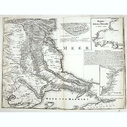
Meerbusen von Burgas oder Mesambri im Maasstab von 1:200.000. . . .
The lower part of a two-sheet map entitled "Karte der Hauptstraßen von der niederen Donau bis Constantinopel. . . ." The map has 4 insets with "Meerbusens...
Place & Date: Berlin, ca.1860
Selling price: $60
Sold in 2015
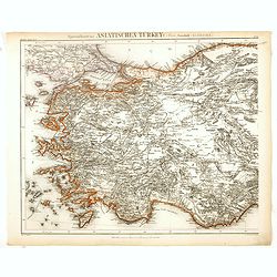
Specialkarte der Asiatischen Turkey : 1. Blatt Anadoli (Klein - Asien)
Steel engraved map of western part of Turkey, engraved by Ifslieb and J. Grassl for Druck u. Verlag des Bibliographischen Instituts in Hildburghausen, 1860.Included in &q...
Place & Date: Hildburghausen, 1860
Selling price: $50
Sold in 2016
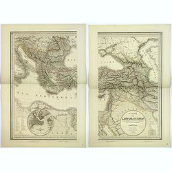
Turquie D'Asie Syrie, Liban. Region du Caucase.
Very detailed map from Atlas Sphérodïdal & Universel de géographie , Prepared by F.A.Garnier and edited by Jules Renouard, rue de Tournon, Paris. Uncommon map with...
Place & Date: Paris, 1861
Selling price: $100
Sold in 2008
![La Destruction de la flotte ottomanne par l'escadre russe sous les ordres de S.E. Mr le comte Orlow. Dans le port de Chisme la nuit du 7m juillet 1770 [together with] (Map of Bay between Cesme and Cios)](/uploads/cache/35506-250x250.jpg)
![Turcia Asiatica exhibens Natoliam Modernam [shows Cyprus].](/uploads/cache/83655-250x250.jpg)
![[Set of six costume plates of the Ottoman Empire.]](/uploads/cache/93775-250x250.jpg)




![[Two maps] Carte de la Turquie d'Asie . . . Turquie d'Europe . . .](/uploads/cache/42838-250x250.jpg)


![Vue du sperbe Temple de St.Sophie [. . .] a Constantinople.](/uploads/cache/02982-250x250.jpg)


![[Mausoleum Teschou Lama]](/uploads/cache/62334-250x250.jpg)

