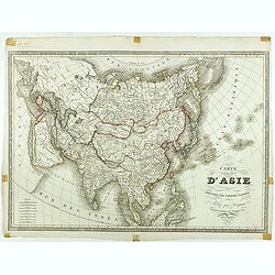
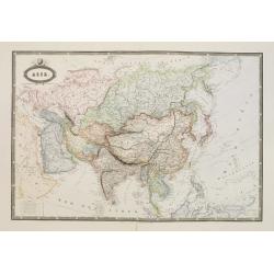
Carte d'Asie dressée par Pierre Tardieu . . .
Large map of Asia published by Édouard-Auguste-Patrice Hocquart (1789-1870?)He succeeded the print dealer Basset at rue Saint-Jacques before 1836. Engraver, he invents i...
Place & Date: Paris, Hocquart, 1854
Selling price: $270
Sold in 2024
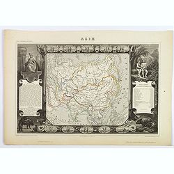
Asie.
A decorative 19th-century map of the continent. The map is surrounded by numerous steel engraved vignettes, all depicting costumes of the various peoples of Asia, Adam an...
Place & Date: Paris, 1854
Selling price: $60
Sold in 2021
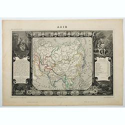
Asie
A decorative 19th century map of the continent. The map is surrounded by steel engraved vignettes depicting costumes of the various peoples of Asia, Adam and Eve, and sev...
Place & Date: Paris, 1854
Selling price: $60
Sold in 2020
Asia.
Very detailed and up-to-date map, reaching from the Ural mountains until New Guinea. Locating tribes, mountains, rivers, cities,... This is the uncommon and slightly lat...
Place & Date: London, c1855
Selling price: $27
Sold in 2013
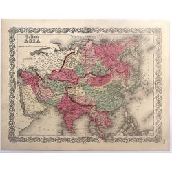
Colton's Asia.
Colton's map of Asia. The map covers the entire continent from the Mediterranean to Siberia and from the Arctic to Singapore. Tibet, Korea and Ladak within the borders o...
Place & Date: New York, 1856
Selling price: $65
Sold in 2017
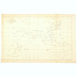
Chart showing the track of the Flagships of the US-Japan Expedition to the eastward of the Cape of Good Hope 1853 & 1854.
A simple sea chart showing the track of the US Steam Frigate Mississippi.
Place & Date: New York, 1857
Selling price: $9
Sold in 2020
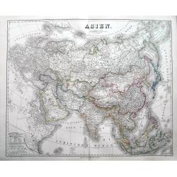
Asien.
An impressively sized map of Asia. With lots of detail and many place names. The coloring indicates the colonial powers of the time.
Place & Date: Weimar, 1858
Selling price: $32
Sold in 2018
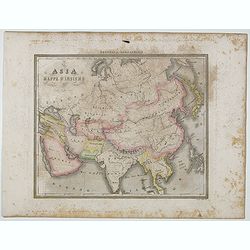
Asia Mappa d'Insieme.
Uncommon map of Asia prepared by Francesco Costantino Marmocchi. Above the map "Geografia Commerciale". From "Il Globo Atlante di carte Geografiche compila...
Place & Date: Genova, Paolo Rivara fu Giacomo, 1858
Selling price: $15
Sold in 2020
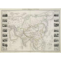
Nouvelle Carte Illustrée de l'Asie . . .
Attractive large chart of Asia from a rare nineteenth century atlas. Decorated with an impressive array of information illustrating the physical and geographical division...
Place & Date: Paris, 1860
Selling price: $300
Sold in 2010
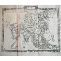
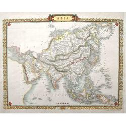
Asia.
Detailed steel engraved map by J. Rapkin, who also worked on the famous Tallis map. This map being almost identical to the Tallis version, only without the vignettes.
Place & Date: London, ca. 1860
Selling price: $37
Sold in 2018
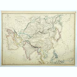
Asia.
The large map of the continent of Asia appeared in the part-work "Dispatch Atlas" issued in supplements and ultimately as a complete volume. A detailed map with...
Place & Date: London, 1860
Selling price: $16
Sold in 2021
Asie.
Very detailed map from Atlas Sphéroïdal & Universel de géographie. Prepared by F.A.Garnier and edited by Jules Renouard, rue de Tournon, Paris. Uncommon map with d...
Place & Date: Paris 1861
Selling price: $150
Sold in 2008
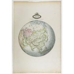
Asie spheroidale.
Very detailed map from Atlas Spherodidal & Universel de geographie , Prepared by F.A.Garnier and edited by Jules Renouard, rue de Tournon, Paris. Uncommon map in an u...
Place & Date: Paris, 1861
Selling price: $100
Sold in 2018
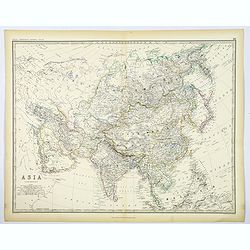
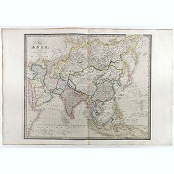
Asia.
A large, highly detailed map of the continent of Asia, from Johnston's General Atlas published around 1860 in Edinburgh. Various countries are highlighted in differing ou...
Place & Date: Edinburgh, ca 1861
Selling price: $60
Sold in 2020
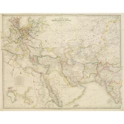
Map of the countries inbetween England & India..
Very detailed map of the countries between England and India, designed to show the over-land and sea routes to the East. In lower left-hand corner inset map of the easter...
Place & Date: London, 1855/1864
Selling price: $150
Sold
Map of Asia. . .
A large map of Asia. The map is of interest for being one of the few 19th century maps with the use of Gulf of Corea, for the sea between Korea and Japan. From "A Ne...
Place & Date: London, ca. 1872/1873
Selling price: $550
Sold
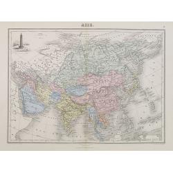
Asie.
A decorative map of Asia from Géographie Universelle, Atlas Migeon, published by J. Migeon. With an engraving of the Porcelain Tower in Nanjing in the upper left corner....
Place & Date: Paris, 1874
Selling price: $30
Sold in 2018
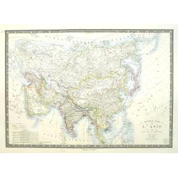
Nouvelle carte de l'Asie et des îles qui en dépendent dressée par A.Brué Géographe revue et argumentée par A. Vuillemin . . .1876
Very large, highly detailed and uncommon issue of the map of Asia prepared by A. Vuillemin after Adrien Hubert Brué (1786-1832).The map has shipping lines added and in l...
Place & Date: Paris, 1876
Selling price: $1100
Sold in 2015
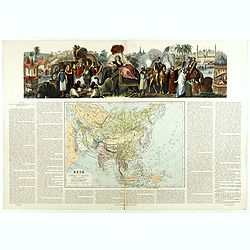
Asia dibujado grabado . . .
Very attractive large map of Asia with stunning panorama at top of elephants, horses and Asian horsemen including Moses in basket. A rare and decorative map. From "A...
Place & Date: Madrid, 1877
Selling price: $400
Sold in 2019
Asien.
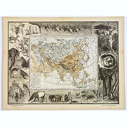
An unusual and decorative late Victorian xylographic map of Asia, by the German publisher Otto Spamer. The map itself is surrounded by uncolored woodcut engravings of the...
Place & Date: Leipzig, ca. 1880
Selling price: $90
Sold in 2017
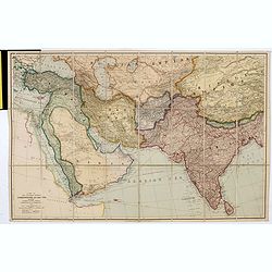
A map of the countries between Constantinople and calcutta including Turkey in Asia, Persia, Afghanistan & Turkestan.
Scarce example of Edward Stanford’s map folding map of Arabia, reaching up to India. Still in its original publisher's yellow advertisements at end papers, folding into...
Place & Date: London, 1903
Selling price: $400
Sold in 2017
[Asia]
A more than 100 year old Russian map of the Asian continent printed in lithography. Published by one of the most successful publishers of St. Petersburg A.Iljin. With a c...
Place & Date: St. Petersburg, c.1905
Selling price: $15
Sold in 2009
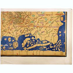
Single sheet from Tabula Rogeriana world map with the Far East section.
Single sheet from a 6 sheet version of the [TABULA ROGERIANA] [NUZHAT AL-MUSHTĀQ FI'KHTIRĀQ AL-ĀFĀQ - THE BOOK OF PLEASANT JOURNEYS IN...
Place & Date: 1151 BUT Suttgart, Konrad Miller, 1928
Selling price: $325
Sold in 2017
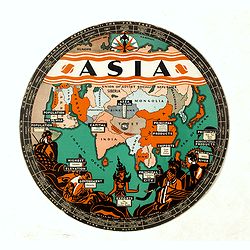
Chart of Knowledge.
This is a rare 1932 double-sided S. G. Bocholtz and Chart of Knowledge spinning wheel map of Asia and Europe. The map of the Asia depicts from Arabia to Japan and from th...
Place & Date: Boston, 1932
Selling price: $150
Sold in 2020
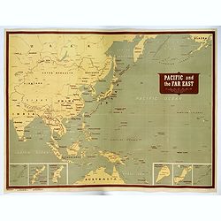
Pacific and the Far East.
A very large US Army and Naval map of The Pacific Ocean and the Far East, published during the second world war. Map covers the western Pacific, as far as Hawaii and the ...
Place & Date: [New York], 1944
Selling price: $1000
Sold in 2017
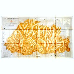
The Kingdom of Bhutan.
Unusual wall map sized map of Bhutan, prepared by Pradyumna P. Karan and published by the University of Kentucky. The map is showing international boundaries, transportat...
Place & Date: Kentucky, 1965
Selling price: $525
Sold in 2016
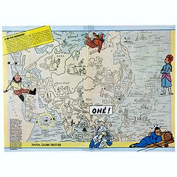
Tintin, Globe-Trotter.
Pictorial map of general Asia, with illustrations of Tintin in different outfits, showing his travels. The French text translation: " On this map of the Orient (Publ...
Place & Date: France, 1986
Selling price: $55
Sold in 2020
![[Asia]](/uploads/cache/25598-250x250.jpg)
