Browse Listings in Asia > China > China Provinces
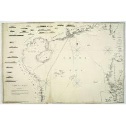
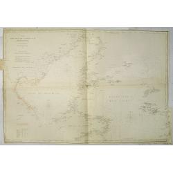
A general chart of the China Sea : drawn from the journals of the European navigators, particularly from those collected by Capt. Hayter.
A scarce and detailed showing China Sea with Taiwan, western part of the Philippines, northern part of Borneo and the coast of South China with Cochinchina. Latitude and...
Place & Date: London, 1778
Selling price: $900
Sold in 2013
La Tartaria Chinese.
With decorative title cartouche. Covering north eastern part of China, Korea and Hokkaido (here called Jeso-Gasima ).
Place & Date: Venice, 1784
Selling price: $400
Sold in 2010
Sketch of A Journey from Hang-Tchoo-Foo ...
A detailed map taken from, from Staunton's 'An Authentic Account of an Embassy from the King of Great Britain to the Emperor of China'.
Place & Date: London, 1796
Selling price: $110
Sold in 2018
Schets van Typa of van Macao.
Captain James Cook (1728-79), explorer, circumnavigator and hydrographer. Three voyages, 1768-71, 1772-75 and 1776-79. From 1778 on printed editions of ' Captain Cook's T...
Place & Date: Leiden, 1795-1803
Selling price: $130
Sold
Haizhou Prefecture, Jiangsu Province.
A very rare Qing era manuscript map of Haizhou Prefecture in Jiangsu province, China showing coastal area, islands and ocean. Dated as made in 1810 by Yu Dengda from Haiz...
Place & Date: Haizhou, 1810
Selling price: $675
Sold in 2019
China Sea. sheet 1.
James Horsburgh early of the coast of China, including Hong Kong, Hainan, Strait of Formosa with lower half of Formosa (Taiwan), Northern part of the Philippines.The cha...
Place & Date: London, 1823
Selling price: $4100
Sold in 2011
Plan de la Baie de Lyeoung-Soy en l'Île d'Hainan...
A scarce sea-chart from the explorations of Achille de Kergariou in 1817, showing a part of southern Hainan (Lingshui Bay?). With the tracks of the ships, small rocks and...
Place & Date: Paris, ca. 1825
Selling price: $45
Sold in 2016
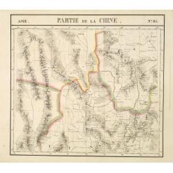
Partie de la Chine N°85. (Covers northeastern India, northern Burma and parts of Tibet, Sichuan and Yunnan.)
Covers northeastern India, northern Burma and parts of Tibet, Sichuan and Yunnan.From his famous Atlas Universel . This atlas was one of the most remarkable world atlases...
Place & Date: Brussels, 1825-1827
Selling price: $200
Sold
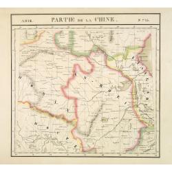
Partie de la Chine N°73. (Covers parts of Hubei, Henan, Anhui, Jiangsu, Shanxi and Shandong provinces.)
Covers parts of Hubei, Henan, Anhui, Jiangsu, Shanxi and Shandong provinces.From his famous Atlas Universel . This atlas was one of the most remarkable world atlases ever...
Place & Date: Brussels, 1825-1827
Selling price: $180
Sold
Partie de L'Empire Chinois .
Vandermaelen Philippe (1795 – 1869) was an eminent Belgian geographer and cartographer , famous for having designed a universal authority made Atlas and for having foun...
Place & Date: Brussels, 1827
Selling price: $17
Sold in 2015
Partie de la Chine - No. 48
A detailed map delineating the border between China and Russia. Lithographed by Henri Ode. One of 387 maps of the world produced on the same scale. This map was important...
Place & Date: Brussels, 1827
Selling price: $30
Sold in 2016
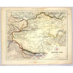
CENTRAL ASIA (MIDDLE DIVISION)
Striking lithographed map of Central Asia published for the Proprietors by H.C. Collins. Engraved by J. Archer. Features the Chinese Empire, Mongolia & Tibet.
Place & Date: London, 1836
Selling price: $40
Sold in 2014
Entrance of the Hoang-ho, or Yellow River.
Superb view of the mouth of the Yellow River or Huáng Hé in the Bohai Sea (a gulf of the Yellow Sea). With numerous very detailed boats and ships shown. Engraved by Adl...
Place & Date: London, ca. 1840
Selling price: $46
Sold in 2016
Bridge of Chains in China.
An interesting scene with a rope bridge over waterfalls. In the front several people are seen, including one angling.With nice hand color.
Place & Date: London, ca 1840
Selling price: $12
Sold in 2017
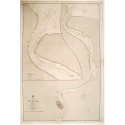
China WOOSUNG RIVER surveyed by Capt. H.Kellett C.B. & R.Collinson C.B.
Important Anglo-Chinese War ("Opium war") of 1838 - 1842 map.Detailed drawing of the Woosung river, as fair south as Shanghai. Prepared by the British commander...
Place & Date: China 1842
Selling price: $1400
Sold
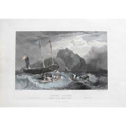
Tiger Island. Entrance of the Canton River.
A superb view of the mouth of the Pearl River, near Guangzhou and Hong Kong. With three very detailed boats and ships shown.Engraved by Goodall, drawn by Standfield, sket...
Place & Date: London, 1844
Selling price: $16
Sold in 2017
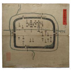
Sizhou city, Jiangsu Province.
An original Qing Dynasty era Chinese manuscript map of Sizhou city in Jiangsu province, China.Sizhou was destroyed by floods during emperor Kangxi reign about 300 years a...
Place & Date: China, ca. 1850
Selling price: $950
Sold in 2019
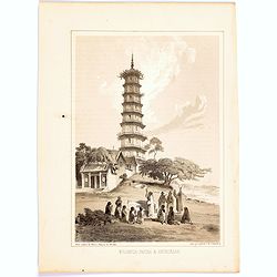
Whampoa Pagoda & Anchorage.
A lithographic illustration from the Narrative of The Expedition of an American Squadron to the China Seas and Japan, Performed in the Years 1852, 1853 and 1854, under th...
Place & Date: New York, 1856
Selling price: $15
Sold in 2020
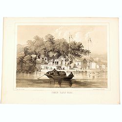
Chinese Temple, Macao.
A pleasant view of the important Chinese Temple in Macao.
Place & Date: Philadelphia, 1856
Selling price: $15
Sold in 2020
China, Wusung River surveyed by comander John Ward..
Very detailed chart of the Wusung River north of Shanghai. With inset plan of the entrance of the river Wusung. Shanghai is devided in "Walled City" with around...
Place & Date: London 1859
Selling price: $435
Sold
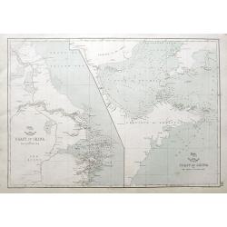
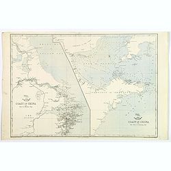
Coast of China. . .
Two charts on one sheet: The coast of China from Nyew tew Island to Hae-Chow; and the Coast of China from Hae-Chow to Leaotong Gulf. Both maps are highly detailed, filled...
Place & Date: London, ca. 1860
Selling price: $17
Sold in 2018
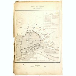
Prise de Canton 28 et 29 Décembre 1857.
A rare plan of Canton prepared by Captain Labbe. Plate II from "Atlas de l'expédition de Chine en 1860: rédigé au dépôt de la guerre d'après les documents offi...
Place & Date: Paris, 1862
Selling price: $250
Sold in 2018
Coast of China. Nyew tew island to Hae Chow / Hae Chow to Leaotong Gulf.
A pair of coastal maps of China, published in the Weekly Dispatch Atlas circe 1862. The map information is mainly confined to the coast, but there is some detail inland a...
Place & Date: London, ca 1862
Selling price: $45
Sold in 2020
Coast of China [2 maps].
A pair of Chinese coastal maps: The first from Nyew Tew Island to Hae-Chow. The second from Hae-Chow to Leaotong Gulf. Both show depth soundings, numerous bays and inlets...
Place & Date: London, ca 1863
Selling price: $55
Sold in 2023
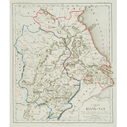
Carte du Kiang Nan ..
Detailed and very rare map of the area of Shanghai, showing the location of the missionaries' residences during the years 1871-72. P. Carceri was an missionary active for...
Place & Date: Lyon 1872
Selling price: $640
Sold
Chine. Golfes de Pe-Tchi-Li et de Liau-Tung partie nord de la mer jaune. . .
Sea chart the northern part of the yellow sea encompassing the Pe-Tchi-Li and Liau-Tung Gulfs. In lower right the west coast of North Korea.An updated coastline by Capt. ...
Place & Date: Paris, 1863 updated for 1877
Selling price: $420
Sold
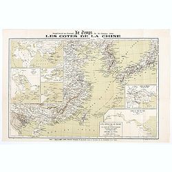
Les Côtes de la Chine supplément au journal le temps du 16 Octobre 1884
Map of the Chinese coasts, with an inset showing Europe, Africa, Arabia and the Asian continent, with part of Australia and showing the route from France to China. Publis...
Place & Date: Paris, October 6th, 1884
Selling price: $75
Sold in 2020
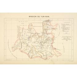
Mission du Yun-Nan.
Important missionary map showing part of China, prepared by Adrien Launay, who was a French Missionary and later chronicler of the history of the French Missions in Indo-...
Place & Date: Lille, 1890
Selling price: $100
Sold
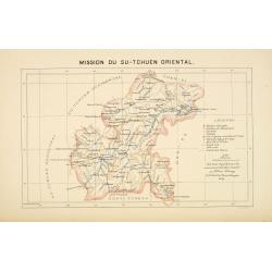
Mission du Su-Tchuen Oriental.
Important missionary map showing part of China, prepared by Adrien Launay, who was a French Missionary and later chronicler of the history of the French Missions in Indo-...
Place & Date: Lille, 1890
Selling price: $60
Sold
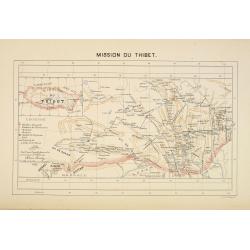
Mission du Thibet.
Important missionary map showing Tibet, prepared by Adrien Launay, who was a French Missionary and later chronicler of the history of the French Missions in Indo-China at...
Place & Date: Lille, 1890
Selling price: $150
Sold
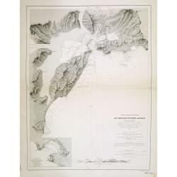
Chine - Détroit de Petchily. Lu Chun Ko ou Port Arthur.
Detailed of Lushan or Port Arthur.In 1856, during the Second Opium (or Arrow) War, an English captain, Lieutenant William C. Arthur, towed a damaged English gunboat into...
Place & Date: Paris, 1885 updated for 1894
Selling price: $150
Sold in 2013
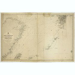
China & Japan - Amoy to Nagasaki including the Yang Tse Kiang and the Islands between Formosa and japan..
Large chart centered on the East Sea between China and Japan. In upper right corner tip of island of Kyushu. Lower left northern tip of Taiwan, and in center Okinawa. Som...
Place & Date: London, 1891, updates to 1897
Selling price: $100
Sold in 2021
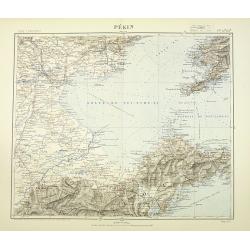
Pékin. Techeng-te-fou.
Very detailed (1:1.000.000) map with Peking (Beijing) in the upper left corner, and centered on Tianjin, showing soundings, Russian, German and Chinese.The French Service...
Place & Date: Paris, 1898
Selling price: $400
Sold in 2010
Bassin inférieur du Yang-Tse Kiang. [Nanjing, Hangzhou and Shanghai ]
Very detailed (1:1.000.000) map centered on Nanjing, Hangzhou and Shanghai, showing soundings, English, Australian, Danish telegraph lines reaching Shanghai.The French Se...
Place & Date: Paris, 1900
Selling price: $500
Sold in 2011
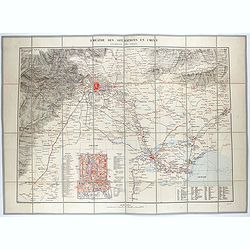
Théâtre des opérations en Chine : environs de Pékin.
Uncommon map of the surroundings of Beijing and inset plan of Beijing, drawn up by the French Service géographique of the French army in 1900, during the repression of t...
Place & Date: Paris, 1900
Selling price: $450
Sold in 2021
De L'Ile Namoa Aux Iles Ockseu..
Large chart centred on the Taiwan Strait, showing the southern coast of China and part of the western coast of Taiwan. Some places are highlighted in red and yellow.Conta...
Place & Date: Paris, 1897, updates to 1902
Selling price: $100
Sold in 2020
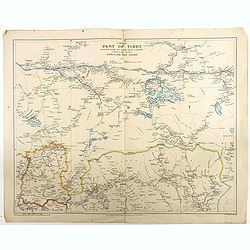
A map of part of Tibet : including Sikkim, the Chumbi Valley & Bhutan showing the routes between Darjiling and Lhasa
Beautiful and rare map of the western part of Tibet (including the town in which the Dalai Lama grew up) and Bhutan, showing geographical features, forts and major mounta...
Place & Date: London, 1904
Selling price: $350
Sold in 2018
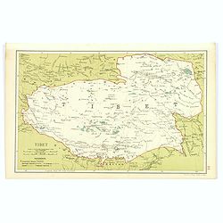
Tibet.
Although an early twentieth century map, this is the desirable region of Tibet, from Stanford's Geographical Establishment in London. A pair of mileage scales, a small re...
Place & Date: London, 1908
Selling price: $85
Sold in 2017
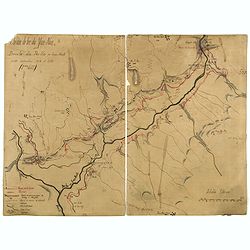
Chemin de fer du Yum-Nan. Boucle du Pei-ho ou Faux Namti entre Kilomètres 104 et 119 (7ème Lot).
Manuscript map of Boucle du Pei-Ho (Taku Forts) showing the river Pei-ho, along with the projected railway lines were to be built, including bridges, installations, villa...
Place & Date: China ?, ca.1910
Selling price: $600
Sold in 2023
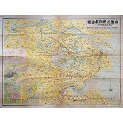
A COMPREHENSIVE MAP OF NANKING-SHANGHAI-HANGCHOW AND NINGPO.
A large litho map of the Chinese region of Shanghai and the important cities to the west of Nanking, Hangchow, and Ningpo.
Place & Date: Anon, ca. 1930
Selling price: $160
Sold in 2018







![Coast of China [2 maps].](/uploads/cache/45479-250x250.jpg)
![Bassin inférieur du Yang-Tse Kiang. [Nanjing, Hangzhou and Shanghai ]](/uploads/cache/29885-250x250.jpg)
