Browse Listings in Asia > China > China General
[Untitled manuscript chart of the South China Sea]
A rare example of a manuscript sea chart from the Thames School, with intriguing early annotations. The chart shows southern Formosa, the south coast of China, Indochina,...
Place & Date: England, circa1680
Selling price: $43525
Sold
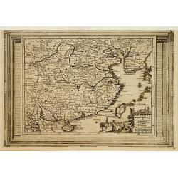
Royaume de la Chine..
Detailed map of China. Engraved by A.Winter. Attractive miniature map, depicting Korea as an island and parts of Japan, i.e. western part of Honshu and Kyushu.
Place & Date: Utrecht 1683
Selling price: $185
Sold
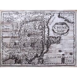
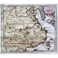
La Chine
A charming small map of China, Taiwan, Philippines, Korea and Kyushu (Japan).From the French text edition of "Description d'Univers.." By Allain Manneson Mallet...
Place & Date: Paris 1683
Selling price: $100
Sold
La Chine
A charming small map of China, Taiwan (Formosa I.), Philippines, Korea and Kyushu (Japan). By Allain Manneson Mallet (1630-1706), a well traveled military engineer and ge...
Place & Date: Paris, 1683
Selling price: $250
Sold
La Chine.
Alain Manneson Mallet (1603-1706) published in 1683 his ' Description de l' Univers' in 5 volumes. In 1686 a German edition appeared.An attractive little map of China.
Place & Date: Paris, 1683
Selling price: $145
Sold
La Chine.
A charming small map of China, Taiwan, Philippines, Korea and Kyushu (Japan).From the French text edition of "Description d'Univers.." (5 volumes), 1683. By All...
Place & Date: Paris, 1683
Selling price: $180
Sold
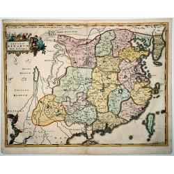
Imperium Sinicum Quindecupartitum.
This rare map is a reduced version of Kircher's map of China, printed in 1667. The cartouche features a Chinese hunter with a hawk and a seated Chinese lady holding a fan...
Place & Date: 1683
Selling price: $137
Sold in 2012
La Chine.
A charming small map of China, Taiwan, the Philippines, Korea, and Kyushu (Japan). From the original French text edition of "Description d'Univers..." b...
Place & Date: Paris, 1683
Selling price: $55
Sold in 2009
Imperium Sinicum Quindecupartitum.
This rare map is a reduced version of Kircher's map of China, printed in 1667. The cartouche features a Chinese hunter with a hawk and a seated Chinese lady holding a fan...
Place & Date: 1683
Selling price: $35
Sold in 2012
La Chine.
A charming small map of China, Taiwan, the Philippines, Korea, and Kyushu (Japan). From the original French text edition of "Description d'Univers..." by Allain...
Place & Date: Paris, 1683
Selling price: $45
Sold in 2012
Tabula Tartariae et majoris partis Regnis Chinae.
Frederick de Wit (1610-1698) became after the closing of the Blaeu firm one of the most important Amsterdam-based publishers. He published several atlases, Atlas Minor (1...
Place & Date: Amsterdam, c. 1685
Selling price: $400
Sold in 2013
Ancienne Region des Sines.
Alain Manneson Mallet (1603-1706) published in 1683 his ' Description de l' Univers' in 5 volumes. In 1686 a German edition appeared.A map from Alain Manesson Mallet's 'D...
Place & Date: Paris, 1686
Selling price: $75
Sold in 2017
Ancienne Region des Sines.
Alain Manneson Mallet (1603-1706) published in 1683 his ' Description de l' Univers' in 5 volumes. In 1686 a German edition appeared.A map from Alain Manesson Mallet's 'D...
Place & Date: Paris, 1686
Selling price: $55
Sold
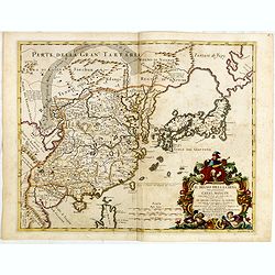
Il regno della China detto presentemente Catay Mangin...
Giacomo Rossi's fine late 17th century map of China, Korea, Taiwan and Japan. Issued in Il Mercurio geografico In lower left corner a tittle cartouche. The cartographer w...
Place & Date: Rome, 1682-1688
Selling price: $1650
Sold in 2015
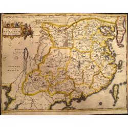
Imperium Sinarum.
Extremely rare map of China from Das mächtige Kayser-Reich Sina by Johann Christoph Wagner and published by Jakob Koppmayer. The book is a "rambling compilation&quo...
Place & Date: Augsburg, 1688
Selling price: $2800
Sold in 2017
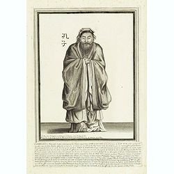
CONFUCIUS le Philosphe le plus estimé parmi les Chinois. . .
A very rare and decorative portrait of Confusius. Underneath the plate a descriptive text in French. Bears the address : A Paris Chez N. Langlois rue St.Jacques a l'Ensei...
Place & Date: Paris, ca. 1690
Selling price: $250
Sold in 2012
Parte orientale della China.. / Parte occidentale della China (2 sheets)
The map depicts the eastern part of China with Korea -correctly- as a peninsula. Formosa is included as well. Japan is partly visible i.e. the area of Yamaguchi, strait K...
Place & Date: Venice 1695
Selling price: $3200
Sold
Imperii Sinarum Nova Descriptio
A reduced and much rarer version of Blaeu's map of 1655. Even the cartouche is faithfully copied from the Blaeu map. Adam Olearius was a German scholar and geographer who...
Place & Date: Hamburg, 1696
Selling price: $1800
Sold in 2009
Orientalische Reise-Beschreibung. . .
Fascinating travelogues by Joergen Andersen and Volquard Iversen, edited by Adam Olearius. The accuracy of the travel accounts is difficult to confirm, however, as both a...
Place & Date: Hamburg, 1696
Selling price: $1800
Sold in 2012
Imperii SINARUM Nova Descriptio
A reduced and much rarer version of Blaeu's map of 1655. Even the cartouche is faithfully copied from the Blaeu map. Adam Olearius was a German scholar and geographer who...
Place & Date: Hamburg, 1696
Selling price: $950
Sold in 2020
Iunan, Queicheu, e Quangsi Provincie della China . . .
Striking early map of the Chinese provinces of Iunan (Yunan), Queicheu (Guizhou), e Quangsi (Guangxi). With a highly decorative title and mileage-scale cartouches. In top...
Place & Date: Venice, 1698
Selling price: $367
Sold in 2012
Parte occidentale della China / Parte orientale della China . . .
The two sheet map depicts the eastern part of China with Korea -correctly- as a peninsula. The maps are still on separate uncut sheets, each map measuring 607x450mm., tog...
Place & Date: Venice, 1698
Selling price: $6900
Sold in 2013
Chine.
Scarce and interesting map of China printed from a reworked Cloppenburgh plate. Latin names and hachuring have been burnished from the plate and the original title “Chi...
Place & Date: Amsterdam, 1700
Selling price: $60
Sold in 2012
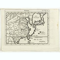
Chine.
RARE miniature map of China, Korea, Japan and Taiwan. The map is of interest for the use of East Sea, the sea between Korea and Japan, here called "Mer Orientale&quo...
Place & Date: Paris, ca. 1700
Selling price: $150
Sold in 2014
Chine.
The rare second state of this early map of China, Korea, and Japan. From "Nouvelle Geographie. . . Par Mr. D. Martineau Du Plessis... A Amsterdazm, Chez George Galle...
Place & Date: Amsterdam, 1700
Selling price: $500
Sold in 2017
Chine.
RARE miniature map of China, Korea, Japan and Taiwan. The map is of interest for the use of East Sea, the sea between Korea and Japan, here called "Mer Orientale&quo...
Place & Date: Paris, ca. 1700
Selling price: $225
Sold in 2023
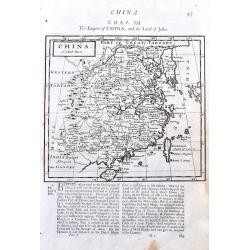
China.
A detailed copper engraved map of China including Taiwan and South Korea. Shows the Great Wall. With good details of towns, rivers, and islands. With interesting text abo...
Place & Date: London, 1701
Selling price: $50
Sold in 2021
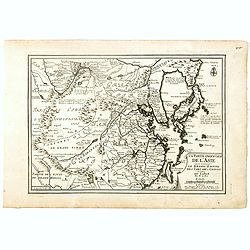
La partie orientale de L'Asie ou se trouvent le Grand Empire des Tartares chinois ...
The map includes China, an elonged Korea and the islands of Taiwan and Japan. Hokkaido is curiously shown as an Asian peninsula. Taiwan labeled: Isle Formosa ou Bel-Isle ...
Place & Date: Paris, 1705
Selling price: $290
Sold in 2009
La partie orientale de l'Asie où se trouvent Le Grand Empire des Tartares Chinois et celuidu Iapon.
A map of China, Korea, Japan, Taiwan and northern India, by Nicolas De Fer, Royal French Geographer. The island of Taiwan is labeled "I.Formosa ou Bel Isle" and...
Place & Date: Paris, 1706
Selling price: $800
Sold in 2018
La China.
Map of China from Laso’s extremely rare atlas “El Atlas Abreviado”. The plates for the atlas were based on those for Don Francisco De Afferden’s earlier atlas pub...
Place & Date: Madrid, 1711
Selling price: $60
Sold in 2012
Directions between Amoye and Chusan.
Text page with woodblock plofiles by Samuel Thornton showing the approaching coast lines of The Island of Quesan, Sampanna, Lamjett and Island of Hightan on the verso dir...
Place & Date: London 1711
Selling price: $90
Sold in 2014
Three double sided pages No's 65 & 66 ‘Directions from the River Siam to the River of Cambodia.' Directions between Pulo Timoan and Amoye in China. 67 & 68 Directions between Pulo Timoan and Amoye in China. 69 & 70,
Six woodblock chart’s on three double sided sheets by Samuel Thornton showing the approaching coast lines China by John How and Samuel Thornton.Published in "The E...
Place & Date: London, 1711
Selling price: $60
Sold in 2014
Wakan Sansai Zue - 和漢三才図会 [Illustrated Sino-Japanese Encyclopedia - one volume]
The Wakan Sansai Zue (和漢三才図会, lit. "Illustrated Sino-Japanese Encyclopedia") is an illustrated...
Place & Date: Edo, 1712
Selling price: $301
Sold in 2017
La Chine.
A charming small map of China, Taiwan, Philippines, Korea and Kyushu (Japan).From the "Des berühmten Königlichen geographi" the German Edition of "Descri...
Place & Date: Frankfurt, 1719
Selling price: $131
Sold in 2017
Habillemens d'Hommes & Femmes de diverses provinces de la Chine avec.....la Pont volant de la Provence de Xensi.
Henri Abraham Chatelain was a Amsterdam-based geographer and publisher. His main product is the 'Atlas Historique et Méthodique', in seven volumes, published between 171...
Place & Date: Amsterdam, c. 1720
Selling price: $170
Sold
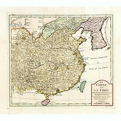
La Chine avec La Corée et les parties de la Tartarie les plus voisines..
Fine map of China, Korea and Taiwan (named as Tayouan ou Formose I.). Prepared after Jesuit sources from 1708-1717.The map is of interest for the use of Kao-Liqoue ou Roy...
Place & Date: Paris, 1720
Selling price: $270
Sold in 2023
La Chine.
The map is of interest for the use of Sea of Japan / East Sea, the sea between Korea and Japan, here called "Mer Orientale".This small Italian map of China, Kor...
Place & Date: Venice, c.1722
Selling price: $450
Sold in 2023
La Chine.
Scarce map based on a map published by Nicholas DeFer in Paris.
Place & Date: Antwerp, 1725
Selling price: $25
Sold in 2012
Chine.
Very uncommon state of Chevigni's map of China based on De L'Isle from "La Science des Personnes de la Cour..." published by Lottin, Genneau, and Morin. The map...
Place & Date: Paris, 1725
Selling price: $110
Sold in 2011
La Chine, suivant les nouvelles observations..
Uncommon edition of this map of China. With decorative title cartouche lower right corner. Including the island of Taiwan.This example is unusual in having the additional...
Place & Date: Amsterdam 1728
Selling price: $540
Sold
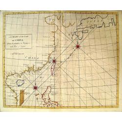
A Chart of the Coast of China.
Rare English chart of the China coast and seas by famed astronomer and comet tracker Edmond Halley. This chart comes from Halley's rare Atlas Maritimus et Commercialis. D...
Place & Date: London, 1728
Selling price: $4300
Sold in 2009
Paradigma XV Provinciarum et CLV Urbium Capitalium Sinensis Imperij Cum Templis...
Rare map of China from Stocklein's "Neuer Welt Bolt", a German translation of the Jesuit Lettres Edifiantes. Based on Philippe Couplet's map of 1686, the map sh...
Place & Date: Augsburg, 1729
Selling price: $750
Sold in 2010
Imperii Sinarum
Map with a fair number of provinces & cities in the interior. The Great Wall is depicted along the northern border. A large fictitious interior lake labeled Kia Lacus...
Place & Date: Amsterdam 1729
Selling price: $300
Sold
Imperii Sinarum.
Map of China. Along the northern border the Great Wall is visible. Note a large, fancyful lake named Kia Lacus which is the source of five large rivers. The map shows als...
Place & Date: Amsterdam, 1729
Selling price: $200
Sold in 2016
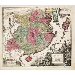
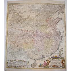
[Antique map of China] Opulentissimum Sinarum Imperium
A highly decorative and strongly engraved map of China that includes the islands of Hainan and Formosa (Taiwan), the Korean peninsula and western Japan.The cartography is...
Place & Date: Augsburg, ca 1730
Selling price: $1550
Sold in 2017
Opulentissimum Sinarum Imperium.
"Opulentissimum Sinarum Imperium". A highly decorative and strongly engraved map of China that includes the islands of Hainan and Formosa (Taiwan), the Korean p...
Place & Date: Nuernberg, ca 1730
Selling price: $425
Sold in 2021
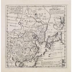
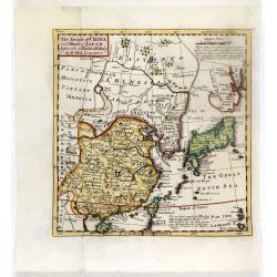
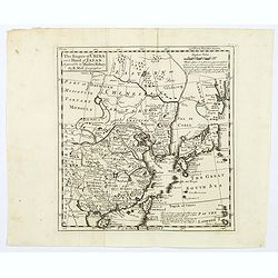
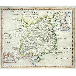
The Empire of China and Island of Japan, Agreeable to Modern History by H.Moll.
Map of China, Korea, Japan, the island Taiwan (Formosa I.). The map is of interest for the use of East Sea, the sea between Korea and Japan, here called "Sea of Core...
Place & Date: London, Thos. Bowles and John Bowles, 1729-1732
Selling price: $720
Sold
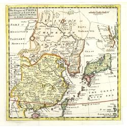
The Empire of China and Island of Japan, Agreeable to Modern History by H.Moll.
Map of China, Korea, Japan, the island Taiwan (Formosa I.). The map is of interest for the use of East Sea, the sea between Korea and Japan, here called "Sea of Kore...
Place & Date: London, Thos. Bowles and John Bowles, 1729-1732
Selling price: $600
Sold in 2010
The Empire of China and Island of Japan, Agreeable to Modern History by H.Moll.
With page number 1 added in upper right corner of the scale. Map of China, Korea, Japan, the island Taiwan (Formosa I.). The map is of interest for the use of East Sea, t...
Place & Date: London, Thos. Bowles and John Bowles, 1729-1732
Selling price: $720
Sold
The Empire of China and Island of Japan, Agreeable to Modern History by H.Moll.
With page number 1 added in upper right corner of the scale. Map of China, Korea, Japan, the island Taiwan (Formosa I.). The map is of interest for the use of East Sea, t...
Place & Date: London, Thos. Bowles and John Bowles, 1729-1732
Selling price: $720
Sold
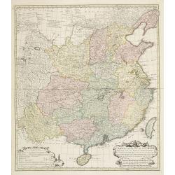
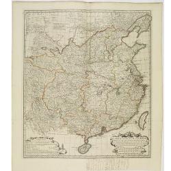
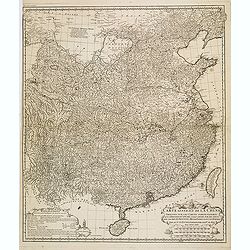
Carte Generale de la Chine Dressée sur les Cartes Particulieres Que l' Empereur Chang-Hi a fait lever sur les lieux..
Large map showing the traditional limits of China, including Hainan and Formosa in the South, and Quantong and parts of the Gobi Desert in the North.As the title notes, t...
Place & Date: Paris , 1735
Selling price: $1750
Sold in 2016
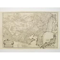
Carte Generale De La Tartarie Chinoise Dressee sur les Cartes Particulieres Faits Sur Les Lieux Par Les R.R. P.P. Jesuites . . . .MDCCXXXII
D'Anville is very important for Korean cartography as he made the cartography of Korea widely available. The map is the first fairly accurate western map of Korea, though...
Place & Date: Paris, 1735
Selling price: $2500
Sold in 2018
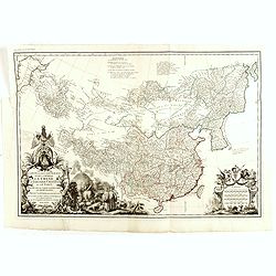
Carte la plus generale et qui comprend la Chine, la Tartarie chinoise et le Thibet. . .
With a quite elaborately pictorial cartouche, engraved by G.Kondet. Very detailed map of China, Tibet and Korea. Jean Baptiste Bourguignon d' Anville (1697-1782), French ...
Place & Date: Paris, 1735
Selling price: $3000
Sold
The Empire of China and Island of Japan, Agreeable to Modern History by H.Moll.
From the third edition of his Atlas Minor. This state of the map has page number 37 added in the upper right corner of the scale. Underneath the scale, a description of H...
Place & Date: London, Thos. Bowles and John Bowles, 1736
Selling price: $500
Sold in 2016
The empire of china and island of Japan.
The map is of interest for the use of East Sea, the sea between Korea and Japan, here called "Sea of Korea". From his atlas "Atlas minor or a new and curio...
Place & Date: London, 1736
Selling price: $450
Sold in 2012
The Empire of China and Island of Japan.
The map is of interest for the use of East Sea, the sea between Korea and Japan, here called "Sea of Korea". From his atlas "Atlas minor or a new and curio...
Place & Date: London, 1736
Selling price: $100
Sold in 2012
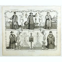
Père Matthieu Ricci / Père Adam Schaal / Père Ferdinand Verbiest.
Folding plate of the 3 most important missionary cartographers who worked in China from Jean Baptiste Du Halde's "Description géographique, historique, chronologiqu...
Place & Date: The Hague, Henri Scheurleer, 1736
Selling price: $650
Sold in 2018
The Empire of China and Island of Japan. . .
The map is of interest for the use of East Sea, the sea between Korea and Japan, here called "Sea of Corea". Some interesting notations are made. From his atlas...
Place & Date: London, 1736
Selling price: $300
Sold in 2024
Carte Generale de la Chine..
Very detailed map of Southern part of China, including a detailed Taiwan. Jean Baptiste Bourguignon d' Anville (1697-1782), French cartographer. Compiled over 200 maps. T...
Place & Date: The Hague, 1737
Selling price: $750
Sold in 2009
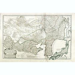
Carte Generale de la Tartarie Chinoise..
Very detailed map of Northern China, Japan and Korea. Jean Baptiste Bourguignon d' Anville (1697-1782), French cartographer. Compiled over 200 maps. This map is from his ...
Place & Date: Paris 1737
Selling price: $400
Sold
Carte générale de la Chine Dressée sur les Cartes particulières que l'Empereur Cang-hi a fait lever sur les lieux par les RR. PP. Jésuites missionaires dans cet empire / Par le Sr d'Anville.
Important and very detailed map of Southern part of China, including a detailed Taiwan. Jean Baptiste Bourguignon d' Anville (1697-1782) was a French cartographer and com...
Place & Date: The Hague, H. Scheurleer, 1737
Selling price: $1800
Sold
Nouvel atlas de la Chine, de la Tartarie chinoise, et du Thibet.
First edition of "the principal cartographic authority on China during the 18th century". It was the second major atlas of China produced in Europe following th...
Place & Date: The Hague, 1737
Selling price: $20000
Sold
Carte la plus generale et qui comprend la Chine, la Tartarie chinoise et le Thibet. . .
With a quite elaborately pictorial cartouche, engraved by G.Kondet. Very detailed map of China, Tibet and Korea. Jean Baptiste Bourguignon d' Anville (1697-1782), French ...
Place & Date: Paris, 1737
Selling price: $2500
Sold in 2010
Carte la plus generale et qui comprend la Chine, la Tartarie chinoise et le Thibet. . .
With a quite elaborately pictorial cartouche, engraved by G.Kondet. Very detailed map of China, Tibet and Korea. Jean Baptiste Bourguignon d' Anville (1697-1782), French ...
Place & Date: Paris, 1737
Selling price: $2600
Sold
Carte Generale de la Chine Dressée sur les Cartes Particulieres Que l' Empereur Chang-Hi a fait lever sur les lieux..
Large map showing the traditional limits of China, including Hainan and Formosa in the South, and Quantong and parts of the Gobi Desert in the North.As the title notes, t...
Place & Date: Paris , 1737
Selling price: $2200
Sold in 2014
Nouvel atlas de la Chine, de la Tartarie chinoise, et du Thibet.
First edition of "the principal cartographic authority on China during the 18th century". It was the second major atlas of China produced in Europe following th...
Place & Date: The Hague, H. Scheurleer, 1737
Selling price: $20000
Sold
Carte générale de la Chine Dressée sur les Cartes particulières que l'Empereur Cang-hi a fait lever sur les lieux par les RR. PP. Jésuites missionaires dans cet empire / Par le Sr d'Anville.
Important and very detailed map of Southern part of China, including a detailed Taiwan. Jean Baptiste Bourguignon d' Anville (1697-1782) was a French cartographer and com...
Place & Date: The Hague, H. Scheurleer, 1737
Selling price: $525
Sold in 2013
Carte Generale de la Chine Dressée sur les Cartes Particulieres Que l' Empereur Chang-Hi a fait lever sur les lieux..
Large map showing the traditional limits of China, including Hainan and Formosa in the South, and Quantong and parts of the Gobi Desert in the North.As the title notes, t...
Place & Date: Paris , 1737
Selling price: $800
Sold in 2018
[Lot of 2 items] Isoletta Desima Abittata Dagli Olandesi Nel Giappone / Plan du port et de la ville de Nangasaki.
A rare view of the island Deshima with a numbered index table below image. From the Italian translation of T. SALMON, 'Hedendaegsche historie of tegenwoordige staet van a...
Place & Date: Venice, ca 1738
Selling price: $200
Sold in 2021
Imperii Russici et Tartariae Universae tam majoris Afiaticæ quam minoris et EuropæTabula.
Decorative map covering Russia, Tibet, China, Tartary, Korea, Taiwan and Japan prepared by J. M. Hasius. With a hefty landmass north of Honshu touching the Asian continen...
Place & Date: Nuremberg, 1739
Selling price: $320
Sold in 2009
La Chine.
Lovely example of Giustiniani’s uncommon map of China from his “Atlas Abreviado”.
Place & Date: Amsterdam, 1739
Selling price: $275
Sold
Regni Sinae vel Sinae Propriae Mappa et Descriptio Geographica ..
A highly detailed, excellent map of China based on the works of Du Halde and D'Anville. The map extends from the Gobi desert in the north to Hainan island in the south an...
Place & Date: Nuremberg, ca 1740
Selling price: $400
Sold
China.
Nice copper engraved map of China including Korea and Formosa (Taiwan) with much topographical detail. With an attractive title cartouche bearing also a distance scale.
Place & Date: London, c1740
Selling price: $60
Sold
Nuova carta dell' Imperio della Chia e dei Paesi circonvicini. / Nueva carta de l'Impario de la Quina.
The map is of interest for the use of Mar di Corea" and "Mar Setentrionale del Giapone" in the sea between Korea and Japan.Rare early edition of Albrizzi's...
Place & Date: Venice, 1740
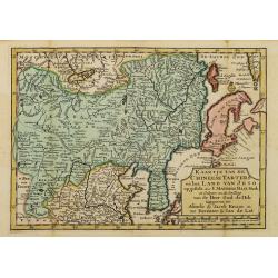
Kaartje van de Chineese Tarters en het land van Jeso..
Attractive and uncommon map of North China with Korea and Jedso. Dutch issue, of this map prepared by de L'Isle. From Atlas Portatif . With a curious and oversized Hokkai...
Place & Date: Deventer, 1742
Selling price: $600
Sold in 2011
China.
Charming uncommon Italian map of China, Japan, Korea and Taiwan listed as Tayoun and I.di Formosa. The Great Wall is depicted prominently.
Place & Date: Italy c.1743
Selling price: $150
Sold
La China.
Smaller format map of China based on the work of De L'Isle.The map is of interest for the use of Sea of Japan / East Sea, the sea between Korea and Japan, here called &qu...
Place & Date: ca. 1743
Selling price: $65
Sold in 2012
A New & Accurate Map of China.
Emanuel Bowen's map of China based on D'Anville's earlier work.Includes the Korean peninsula, Formosa (Taiwan), and Hainan. With an explanation legend, and text informati...
Place & Date: London, 1744
Selling price: $220
Sold in 2017
Nouvelle Carte de l'Empire de la Chine et les Païs circomvoisins.
A map of China by Izaak Tirion, also showing Korea and Japan.Isaak Tirion (d. 1769) Amsterdam publisher. His "Nieuwe en beknopte handatlas" saw 6 editions betwe...
Place & Date: Amsterdam, c. 1745
Selling price: $250
Sold in 2019
The History of the Court of the King of China [with] An Account of the Empire of China. . .
Complete account extracted from a contemporary collection of voyages in French and Spanish and translated into English. Includes a map of China by Herman Moll.
Place & Date: London, 1745
Selling price: $275
Sold in 2012
![[Untitled manuscript chart of the South China Sea]](/uploads/cache/15747-250x250.jpg)











![Wakan Sansai Zue - 和漢三才図会 [Illustrated Sino-Japanese Encyclopedia - one volume]](/uploads/cache/39548-250x250.jpg)






![[Antique map of China] Opulentissimum Sinarum Imperium](/uploads/cache/97974-250x250.jpg)










![[Lot of 2 items] Isoletta Desima Abittata Dagli Olandesi Nel Giappone / Plan du port et de la ville de Nangasaki.](/uploads/cache/84919-250x250.jpg)



![The History of the Court of the King of China [with] An Account of the Empire of China. . .](/uploads/cache/99680-250x250.jpg)