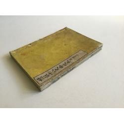
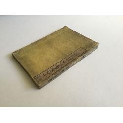
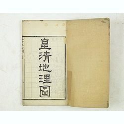
Hyouchuu Hasshiryaku Kouhon - Summaries of the 18 Histories, Volume 1
A larger sized, beautiful atlas of Chinese maps, showing the geographic extent of various Chinese dynasties. 10 double page woodblock maps of China. Meiji 16 (1884) text ...
Place & Date: 1884
Selling price: $210
Sold in 2016
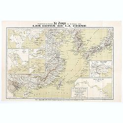
Les Côtes de la Chine supplément au journal le temps du 16 Octobre 1884
Map of the Chinese coasts, with an inset showing Europe, Africa, Arabia and the Asian continent, with part of Australia and showing the route from France to China. Publis...
Place & Date: Paris, October 6th, 1884
Selling price: $75
Sold in 2020
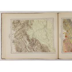
(Ortographische und geologische Karten. Erste Abtheilung: Das nördliche China.)
Very rare atlas of Northern China prepared by and during the lifetime of Ferdinand Freiherr von Richthofen. It is considered to be the first scientific atlas about China,...
Place & Date: Berlin, D.Reimer, 1885
Selling price: $2500
Sold
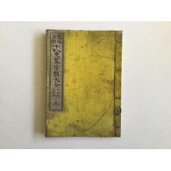
Ju Hachi Shiryaku - Summaries of the 18 eras, Historical maps.
A superb atlas of Chinese maps, showing the geographic extent of various Chinese dynasties.11 beautifully hand colored double page woodblock maps of China. Publisher: Moh...
Place & Date: 1885
Selling price: $210
Sold in 2016
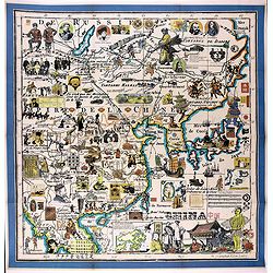
[Complete map of ancient and modern geography of China]
A variant of a so-called "Complete map of ancient and modern geography of China.". The map shows Korea in the east to Central Asia in the west, and from Heilong...
Place & Date: China, ca. 1888
Selling price: $15000
Sold in 2022
Carte des Missions Catholiques en Chine.
Uncommon and detailed map of China, Korea and Taiwan; includes also a description of the Catholics missions in China giving population and the number of missionaries, etc...
Place & Date: Lyon, 1890
Selling price: $375
Sold in 2008
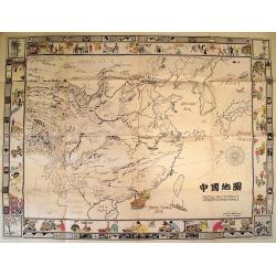
The Complete Map of China (Zhonghua Quantu)
Rare survival of a student's geography work in China, traced and colored by a late Qing Dynasty schoolboy. Not only commercial map makers made maps. Students and young pe...
Place & Date: c. 1890
Selling price: $150
Sold in 2012
Mission du Yun-Nan.
Important missionary map showing part of China, prepared by Adrien Launay, who was a French Missionary and later chronicler of the history of the French Missions in Indo-...
Place & Date: Lille, 1890
Selling price: $100
Sold
Mission du Su-Tchuen Oriental.
Important missionary map showing part of China, prepared by Adrien Launay, who was a French Missionary and later chronicler of the history of the French Missions in Indo-...
Place & Date: Lille, 1890
Selling price: $60
Sold
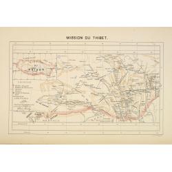
Mission du Thibet.
Important missionary map showing Tibet, prepared by Adrien Launay, who was a French Missionary and later chronicler of the history of the French Missions in Indo-China at...
Place & Date: Lille, 1890
Selling price: $150
Sold
Ju Hachi Shiryaku - Summaries of the 18 eras.
A wonderful medium-sized atlas of Chinese maps, showing the geographic extent of various Chinese dynasties.10 woodblock maps of China - 2 maps per page. Meiji 22. Maps by...
Place & Date: Meiji 22 or ca. 1890
Selling price: $200
Sold in 2016
Vue de Hong Kong
This is a wonderful antique print depicting a panoramic view of Hong Kong as it appeared in the late-1800s. Wood engraving, published in l'Univers illustré. French text ...
Place & Date: Paris, ca. 1891
Selling price: $165
Sold
[Title in Chinese - General map of China]
Chromo lithographed map of China prepared by Pêre S. Chevalier and published by Hong-pao-tchai, Shanghai. With 3 colored insets and several index and key tables. The tit...
Place & Date: Shanghai / Zi-ka-wei, 1893
Selling price: $2400
Sold in 2018
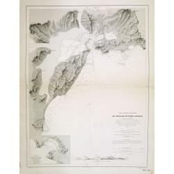
Chine - Détroit de Petchily. Lu Chun Ko ou Port Arthur.
Detailed of Lushan or Port Arthur.In 1856, during the Second Opium (or Arrow) War, an English captain, Lieutenant William C. Arthur, towed a damaged English gunboat into...
Place & Date: Paris, 1885 updated for 1894
Selling price: $150
Sold in 2013
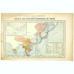
Carte des missions de la société des missions-étrangeres de Paris.
Rare and detailed map of the Far East, including India, Thailand, China, Tibet, Korea, Japan. Key to Missions confiées à la Société des Missions Etrangères avec le c...
Place & Date: Lyon / Paris, 1894
Selling price: $150
Sold in 2020
Express. Queen's Road Echoes.
Rare broadside with critical and political text about the Tai Ping Shan area. Printed in Hongkong, dated 21st July 1894.
Place & Date: Hongkong, 1894
Selling price: $31
Sold in 2016
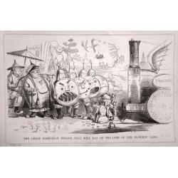
A set of 10 humorous prints with China interest.
This set of 10 are from 1857 - 1895. Mostly engraved by Joseph Swain. Joseph Swain was one of the most important woodblock engravers.Punch was responsible for the word se...
Place & Date: London 1857 - 1895
Selling price: $80
Sold in 2015
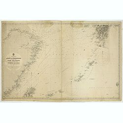
China & Japan - Amoy to Nagasaki including the Yang Tse Kiang and the Islands between Formosa and japan..
Large chart centered on the East Sea between China and Japan. In upper right corner tip of island of Kyushu. Lower left northern tip of Taiwan, and in center Okinawa. Som...
Place & Date: London, 1891, updates to 1897
Selling price: $100
Sold in 2021
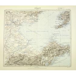
Pékin. Techeng-te-fou.
Very detailed (1:1.000.000) map with Peking (Beijing) in the upper left corner, and centered on Tianjin, showing soundings, Russian, German and Chinese.The French Service...
Place & Date: Paris, 1898
Selling price: $400
Sold in 2010
A set of 11 humorous prints with China interest.
This set of 11 are from 1853 - 1898. Mostly engraved by Joseph Swain. Joseph Swain was one of the most important woodblock engravers.Punch was responsible for the word se...
Place & Date: 1853 - 1898
Selling price: $55
Sold in 2016
Bassin inférieur du Yang-Tse Kiang. [Nanjing, Hangzhou and Shanghai ]
Very detailed (1:1.000.000) map centered on Nanjing, Hangzhou and Shanghai, showing soundings, English, Australian, Danish telegraph lines reaching Shanghai.The French Se...
Place & Date: Paris, 1900
Selling price: $500
Sold in 2011
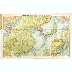
Bartholomew's New map of China and the East.
A fine map of the Far East, including, China, Korea, Japan, with 6 insets of Seoul, Peking, Hong-Kong, Nagasaki, Tokyo, Port Arthur, Vladivostok, entitiled: "Barthol...
Place & Date: Edinburg, ca. 1895-1900
Selling price: $120
Sold in 2017
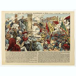
Le siège des léfations Européennes a Pekin (20 juin - 15 août 1900) - (N°186)
Broad sheet relating to The Battle of Peking, or historically the Relief of Peking, was the battle on 14–15 August 1900, in which a multi-national force, led by Britain...
Place & Date: Epinal, ca. 1900
Selling price: $120
Sold in 2020
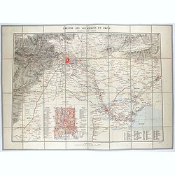
Théâtre des opérations en Chine : environs de Pékin.
Uncommon map of the surroundings of Beijing and inset plan of Beijing, drawn up by the French Service géographique of the French army in 1900, during the repression of t...
Place & Date: Paris, 1900
Selling price: $450
Sold in 2021
De L'Ile Namoa Aux Iles Ockseu..
Large chart centred on the Taiwan Strait, showing the southern coast of China and part of the western coast of Taiwan. Some places are highlighted in red and yellow.Conta...
Place & Date: Paris, 1897, updates to 1902
Selling price: $100
Sold in 2020
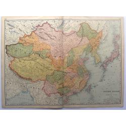
Chinese Empire with Japan and Korea.
This detailed chromolithograph map is Polar projected. It includes Tibet, Eastern Turkestan, Jingaria and Mongolia; the Chinese empire at its largest extent. It is from: ...
Place & Date: Chicago, 1904
Selling price: $25
Sold in 2015
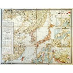
Outline Map of East Asia.
A large, uncommon map of East Asia prepared by Karl Peucker, and published by Ataria & Co.
Place & Date: Vienna, 1904
Selling price: $150
Sold in 2020
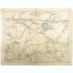
A map of part of Tibet : including Sikkim, the Chumbi Valley & Bhutan showing the routes between Darjiling and Lhasa
Beautiful and rare map of the western part of Tibet (including the town in which the Dalai Lama grew up) and Bhutan, showing geographical features, forts and major mounta...
Place & Date: London, 1904
Selling price: $350
Sold in 2018
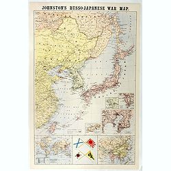
Johnston's Russo-Japanese War Map.
Map of the Russo-Japanese war of 1904-1905.
Place & Date: London, 1904-1905
Selling price: $110
Sold in 2016
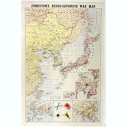
Johnston's Russo-Japanese War Map.
Shows southeastern Siberia, eastern China, Korea, Japan, and Taiwan. "The principal places concerned are underlined." Insets and ancillary maps: Chart of the wo...
Place & Date: London, 1905
Selling price: $150
Sold in 2018
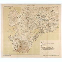
Porto Arthur.
Map of Port Arthur and its surroundings.
Place & Date: Italy, ca. 1905
Selling price: $80
Sold in 2020
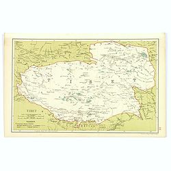
Tibet.
Although an early twentieth century map, this is the desirable region of Tibet, from Stanford's Geographical Establishment in London. A pair of mileage scales, a small re...
Place & Date: London, 1908
Selling price: $85
Sold in 2017
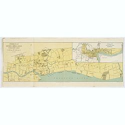
Street Plan of the Northern & Eastern Districts of the Foreign Settlement at Shanghai.
color lithographed Street Plan of the North and Eastern Districts of the Foreign Settlement at Shanghai. The map was drawn at the beginning of the twentieth century.Under...
Place & Date: Edinburgh, 1908
Selling price: $120
Sold in 2018
(School atlas with maps of China & Korea.)
School atlas of China and Korea.
Place & Date: Beijing, ca. 1910
Selling price: $550
Sold in 2012
Kwangtung. (with Hong Kong)
Lithographed map of Kwangtung, with Hong Kong, Canton, Hainan, etc. In lower right corner a key and scale in English Miles and Kilometers.
Place & Date: London, circa 1910
Selling price: $100
Sold in 2017
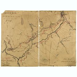
Chemin de fer du Yum-Nan. Boucle du Pei-ho ou Faux Namti entre Kilomètres 104 et 119 (7ème Lot).
Manuscript map of Boucle du Pei-Ho (Taku Forts) showing the river Pei-ho, along with the projected railway lines were to be built, including bridges, installations, villa...
Place & Date: China ?, ca.1910
Selling price: $600
Sold in 2023
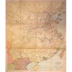
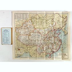
A Map of China Prepared for the China Inland Mission
Large, scarce map of China mounted on linen and folded into original red boards. The map was prepared by Stanford for the China Inland Mission, an interdenominational Pro...
Place & Date: London, 1911
Selling price: $326
Sold in 2015
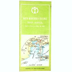
South Manchura Railway Train Service May 1 to April 30, 1915.
A 100 year's old Time Table of the South Manchuria Railway Train Service printed in Japan..
Place & Date: ManshuNichi-Shimbun, 1915
Selling price: $65
Sold in 2017
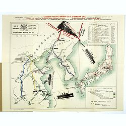
Map of Japan, Korea, Manchuria North China published by the International Sleeping Car Co.
> A more than 100 years old folding publicity map showing a map of Japan, Korea and Eastern China. The map shows pictorial representations of three cruise ships, a tr...
Place & Date: Yokohama, Japan Gazette Press, 1915
Selling price: $140
Sold in 2018
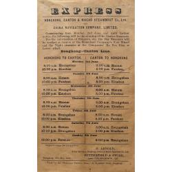
Express - Hongkong, Canton & Macao Steamboat Co., Ltd.
A very rare broadside: Express Hongkong, Canton & Macao Steamboat Co., Ltd. and China Navigation Company, Limited. With departure times of the boats. Printed in Hongk...
Place & Date: Hongkong, 1919
Selling price: $155
Sold in 2016
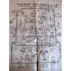
Welfare Map of Peiping.
Charming piece of early 20th century ephemera. This appeal of this tourist map of Beijing’s Tartar and Chinese cities is enhanced by the numerous cartoon vignettes foun...
Place & Date: Beijing, c. 1920
Selling price: $65
Sold in 2010
Map of Hong Kong and New Territories
An interesting map of Hong Kong and its Islands, showing main roads and railways, plus police stations and navigation lights.
Place & Date: London, 1920
Selling price: $425
Sold in 2016
Prescription prepared at the Hong Kong Dispensary.
Unique old prescription in two parts by the Hong Kong Dispensary with handwritten text and instruction. The prescription with the nice seals. No written date given, but p...
Place & Date: Hongkong, probably ca.1920
Selling price: $31
Sold in 2016
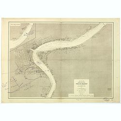
Côte Est de Chine. Rivière de Wusung. Port de Shangaï.
Important French map featuring the harbour of Shanghai during the Chinese Revolution and the Civil War, and representing the French, English and American concessions. Ann...
Place & Date: France, 1905-1925
Selling price: $1800
Sold in 2018
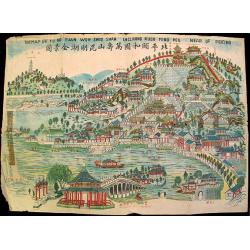
The Map of Yu Ho Yuan Won Shou Shan Including Kuen Ming Hou Near of Peking.
Charming ephemeral map of Peking's Summer Palace (Yihe Yuan) created during China's Republican Period. The map features Longevity Hill and its numerous halls and pavilion...
Place & Date: Beijing, c. 1930
Selling price: $35
Sold
China Manchuria and Mongolia.
A large and concise map of China, Manchuria and neighboring Mongolia. With its original biscuit colored paper wrappers, and publisher's advertisements. Lower left has ins...
Place & Date: London, ca. 1930
Selling price: $85
Sold in 2017
China Manchuria and Mongolia.
A large and concise map of China, Manchuria and neighboring Mongolia. With its original biscuit colored paper wrappers, and publisher's advertisements. Lower left has ins...
Place & Date: London, ca. 1930
Selling price: $120
Sold in 2019
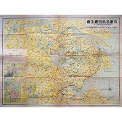
A COMPREHENSIVE MAP OF NANKING-SHANGHAI-HANGCHOW AND NINGPO.
A large litho map of the Chinese region of Shanghai and the important cities to the west of Nanking, Hangchow, and Ningpo.
Place & Date: Anon, ca. 1930
Selling price: $160
Sold in 2018
Picture Map of China.
Splendid Art Deco map of China designed to interest and inform children about the country of China. The map is intended to be colored, with the four seasons represented i...
Place & Date: New York, 1932
Selling price: $675
Sold in 2010
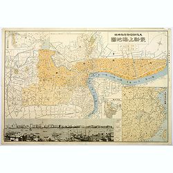
Plan of Shanghai.
A rare plan in Japanese of the Chinese super city of Shanghai, but with individual street names in English. The focus is on central Shanghai and the Bund, the key financi...
Place & Date: Shanghai, 1932
Selling price: $375
Sold in 2017
Plan of the Concessions Tientsin.
This plan was drawn for Crow's "Handbook for China" in 1933. It depicts a city map or plan of the foreign concessions in Tianjin (Tientsin), China. The map is b...
Place & Date: Hong Kong, Shanghai, Singapore, 1933
Selling price: $20
Sold in 2020
[Original Chinese advertising poster for Donggong Business School]
This poster, an advertisement from the 1930s for Donggong Business School depicts a pretty woman holding a beautiful fan and wearing jewelry. It shows the rise of Western...
Place & Date: Shanghai, 1934
Selling price: $130
Sold in 2020
[Map of the Current Situation in East Asia].
Uncommon ephemeral map showing areas occupied by the Japanese, Chinese, and Soviet in the Far East at the outbreak of the Second World War. A tank-shaped insert provides ...
Place & Date: Osaka, 1937
Selling price: $1250
Sold in 2010
Grand Map of Eastern China and Manchukuo.
Spectacular scroll map of eastern China and the puppet state of Manchukuo. Published by the Tokyo Electric Company Limited (Tōkyō Denki Kabushiki Kaisha...
Place & Date: Tokyo, 1937
Selling price: $300
Sold in 2012
[No title : Map of China with US air bases]
BONUS Map depicting China, Taiwan, part of Japan and Philippines in lower right corner. With a key to US air bases in China. Upper right : Enlargement of original map dra...
Place & Date: New York , Life Magazine, 1944
Selling price: $235
Sold in 2017
Plan of Shanghai - Sheet 1
An exceptionally fine and very detailed map of Shanghai, drawn up by the US Army in 1945 by the Geographical Section of the General Staff, War Office.Originally made in 1...
Place & Date: Washington, 1945
Selling price: $1150
Sold in 2017
A new map of shanghai published by the Jihsin geographical institute.
Rare town plan of Shanghai published in China, printed in English and Chinese, with an inset of the surrounds of Shanghai and a legend.color printed map, overall size 470...
Place & Date: Shanghay, 1946
Selling price: $600
Sold in 2016
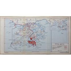
Hong Kong
A detailed interesting map in full original lithographic color. The map shows Hong Kong (In red) with Lantau Island and the tip of China an inset map shows Hong Kong’s ...
Place & Date: London, 1948
Selling price: $80
Sold in 2016
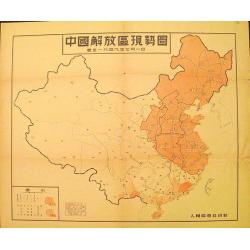
Map of the Liberated Regions in China.
Fine sample of a map with a political character. Rare map depicting areas held by the Communists during the Chinese Revolution up to 1st July, 1949.More about cartographi...
Place & Date: Beijing, 1949
Selling price: $120
Sold in 2012
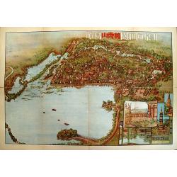
Beijing Yiheyuan Wanshoushan Niaokan.
Rare bird's-eye view of the Summer Palace in Beijing overlooking Lake Kunming and Longevity Hill by guohua painter, Tao Yiqing, who is well known for sketching scenery al...
Place & Date: Beijing, 1954
Selling price: $65
Sold in 2009
Hong Kong.
Decorative poster advertising flights to Hong Kong made by Georges Mathieu. The poster is published outside his series of 15 composed of posters of Greece, Israel, German...
Place & Date: Paris, 1967
Selling price: $850
Sold in 2021
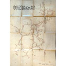
Schematic Map of Chinese Railway Routes.
A very interesting map of Chinese rail lines extending to the northernmost region of Heilongjiang and to Hainan Island in the south. Rail lines indicate the way to Urumqi...
Place & Date: Shaanxi, 1974
Selling price: $190
Sold in 2021
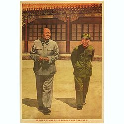
(Mao. Title in Chinese : Our great leader Chairman Mao and his close comrade Lin Biao.)
Mao zhu xi Chinese communism propaganda poster showing Mao Zedong[a] (1893 – 1976), commonly known as Chairman Mao.Published by Xinhua News agency, which was founded in...
Place & Date: Beijing, 1976
Selling price: $40
Sold in 2018
(Mao. Title in Chinese : 'Chairman Mao Zedong and his close friend comrade Lin Biao reviewing the cultural revolutionary army'.)
Mao zhu xi Chinese communism propaganda poster showing Mao Zedong[a] (1893 – 1976), commonly known as Chairman Mao.Published by Xinhua News agency, which was founded in...
Place & Date: Beijing, 1976
Selling price: $50
Sold in 2018
(Mao. Title in Chinese 'Chairman Mao and his close combat comrade Lin Biao and comrade Zhou Enlai )
Mao zhu xi Chinese communism propaganda poster showing Mao Zedong[a] (1893 – 1976), commonly known as Chairman Mao.Published by Xinhua News agency, which was founded in...
Place & Date: Beijing, 1976
Selling price: $40
Sold in 2018
China
Pictorial map by the Italian artist Andrea Pistacchi.
Place & Date: Italy, ca. 1980
Selling price: $230
Sold in 2020
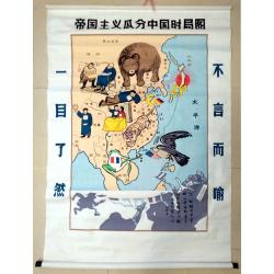
Map of the Imperialist Division of China
Unusual, large silkscreened map of China based on the serio-comic map drawn in 1899 by Tse Tsan-tai, Chinese patriot and co-founder of Hong Kong's South China Morning Po...
Place & Date: China, C. 1960-1980
Selling price: $100
Sold in 2023
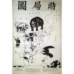
The Situation in the Far East. (時局圖)
An unusual rendering of Tse's "Situation in the Far East". Tse Tsan-tai (1872-1939), a Chinese patriot, drew the original political cartoon in Hong Kong in 1899...
Place & Date: China, n.d. but ca. 1980/1990
Selling price: $100
Sold in 2020
Map of Tsingtao.
A street map of the city of Tsingtao, published by George G. Telberg's International Bookstore.Litho printed in blue and yellow. Includes all the city's main landmarks: t...
Place & Date: Tsingtao, ca. 1930's
Selling price: $95
Sold in 2019
![[Complete map of ancient and modern geography of China]](/uploads/cache/18997-250x250.jpg)

![[Title in Chinese - General map of China]](/uploads/cache/42891-250x250.jpg)


![Bassin inférieur du Yang-Tse Kiang. [Nanjing, Hangzhou and Shanghai ]](/uploads/cache/29885-250x250.jpg)





![[Original Chinese advertising poster for Donggong Business School]](/uploads/cache/45081-250x250.jpg)
![[Map of the Current Situation in East Asia].](/uploads/cache/99679-250x250.jpg)

![[No title : Map of China with US air bases]](/uploads/cache/39806-250x250.jpg)


