Partie de L'Empire Chinois .
Vandermaelen Philippe (1795 – 1869) was an eminent Belgian geographer and cartographer , famous for having designed a universal authority made Atlas and for having foun...
Place & Date: Brussels, 1827
Selling price: $17
Sold in 2015
Partie de la Chine - No. 48
A detailed map delineating the border between China and Russia. Lithographed by Henri Ode. One of 387 maps of the world produced on the same scale. This map was important...
Place & Date: Brussels, 1827
Selling price: $30
Sold in 2016
[ XXXVIII. Ceremonie funebri].
Aquatint depicting a Chinese funeral ceremony engraved by A. Rancati. Plate N°38.From Giulio Ferrario's work Le Costume Ancien et Moderne ou Histoire du gouvernement, de...
Place & Date: Milan, 1827
Selling price: $25
Sold in 2018
[ LVIII. Arco di Cantone, di Ce-Ceu-Fu].
Aquatint depicting an arch in Canton and Ce-Ceu-Fu, engraved by L Rossi. Plate N°58.From Giulio Ferrario's work Le Costume Ancien et Moderne ou Histoire du gouvernement,...
Place & Date: Milan, 1827
Selling price: $30
Sold in 2018
[XI. Ritratti d'Imperatori e d'uomini celebri].
Aquatint depicting portraits of Chinese emperors and famous men, engraved by Zanconi. Plate N°11.From Giulio Ferrario's work Le Costume Ancien et Moderne ou Histoire du ...
Place & Date: Milan, 1827
Selling price: $20
Sold in 2017
[LXX. Donne della provincia di Kiang-Nan, e piedi delle donne Cinesi].
Aquatint depicting women of the province of Kiang-Nan, and the shoes and feet of Chinese women, engraved by L Bigatti. Plate N°70.From Giulio Ferrario's work Le Costume ...
Place & Date: Milan, 1827
Selling price: $10
Sold in 2018
[XXXVI. Cappelletta di campagna].
Aquatint depicting a chapel of at the Chinese country side, engraved by A. Rancati. Plate N°36.From Giulio Ferrario's work Le Costume Ancien et Moderne ou Histoire du go...
Place & Date: Milan, 1827
Selling price: $20
Sold in 2018
[XXXIV. Bonzo in abito di cerimonia].
Aquatint depicting a Chinese bronze, engraved by G. Zancon. Plate N°34.From Giulio Ferrario's work Le Costume Ancien et Moderne ou Histoire du gouvernement, de la milice...
Place & Date: Milan, 1827
Selling price: $10
Sold in 2018
[LXXIV. Vetture, lettighe].
Aquatint depicting different ways of Chinese transportations, engraved by A. Rancati. Plate N°74.From Giulio Ferrario's work Le Costume Ancien et Moderne ou Histoire du ...
Place & Date: Milan, 1827
Selling price: $20
Sold in 2018
[LVII. Torre di Nan-King].
Aquatint depicting the tower in Nan-King, engraved by L. Rossi. Plate N°57.From Giulio Ferrario's work Le Costume Ancien et Moderne ou Histoire du gouvernement, de la mi...
Place & Date: Milan, 1827
Selling price: $50
Sold in 2014
[XLIII. Aratro, seminatojo].
Aquatint depicting Chinese agricultural life, engraved by G. Bigatti. Plate N°43.From Giulio Ferrario's work Le Costume Ancien et Moderne ou Histoire du gouvernement, de...
Place & Date: Milan, 1827
Selling price: $20
Sold in 2018
[XVII. Trono, Yu-U o scetro].
Aquatint depicting a Chinese throne and a scepter, engraved by A. Rancati. Plate N°17.From Giulio Ferrario's work Le Costume Ancien et Moderne ou Histoire du gouvernemen...
Place & Date: Milan, 1827
Selling price: $20
Sold in 2018
[XX. Armi antiche e machine da guerra].
Aquatint depicting ancient Chinese weapons and war machines, engraved by Bigatti. Plate N°20.From Giulio Ferrario's work Le Costume Ancien et Moderne ou Histoire du gouv...
Place & Date: Milan, 1827
Selling price: $20
Sold in 2018
[LXXIII. Varj giuochi].
Aquatint depicting Chinese games, engraved by G. Zancon. Plate N°73.From Giulio Ferrario's work Le Costume Ancien et Moderne ou Histoire du gouvernement, de la milice, d...
Place & Date: Milan, 1827
Selling price: $25
Sold in 2018
[LXXX. Divinità suprema].
Aquatint depicting Chinese supreme divinity, engraved by G. Zancon. Plate N°80.From Giulio Ferrario's work Le Costume Ancien et Moderne ou Histoire du gouvernement, de l...
Place & Date: Milan, 1827
Selling price: $25
Sold in 2018
[VIII. Animali e Vegetabilidella Cina].
Aquatint depicting Chinese, animals and plants, engraved by G. Zancon. Plate N°8.From Giulio Ferrario's work Le Costume Ancien et Moderne ou Histoire du gouvernement, de...
Place & Date: Milan, 1827
Selling price: $25
Sold in 2018
[XXXIX. Varj sepolcri ].
Aquatint depicting Chinese tombs, engraved by L. Rossi. Plate N°39.From Giulio Ferrario's work Le Costume Ancien et Moderne ou Histoire du gouvernement, de la milice, de...
Place & Date: Milan, 1827
Selling price: $25
Sold in 2018
[Ritratti d'Imperatori e d'uomoni celebri].
Aquatint depicting famous Emperors and men wearing typical Chinese dresses, engraved by L Bigatti. Plate N°11.From Giulio Ferrario's work Le Costume Ancien et Moderne ou...
Place & Date: Milan, 1827
Selling price: $20
Sold in 2018
Empire Chinois . . .
Detailed map of Chinese Empire, including Japan, Taiwan, prepared by A. H. Basset, rue Saint-Jacques, no. 64, Paris and published in Atlas classique et Universel de Géog...
Place & Date: Paris, A.H. Basset, 1828
Selling price: $300
Sold
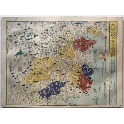
[Lot with two maps] Map of the Three Kingdoms / Map of the Great Ming Dynasty.
Two beautifully colored Japanese woodblock maps of China, one of China during the Three Kingdoms period and a second of Ming China, 1368-1644.
Place & Date: Japan, ca.1835
Selling price: $350
Sold in 2012
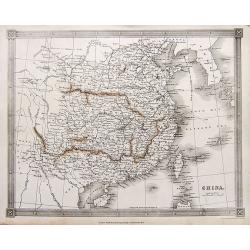
China.
A very detailed map of China and Korea, filled with place names. Includes Hainan and Taiwan, and a small inset map of Macao.
Place & Date: London, ca. 1835
Selling price: $40
Sold in 2018
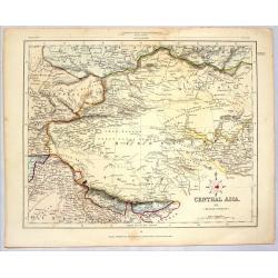
CENTRAL ASIA (MIDDLE DIVISION)
Striking lithographed map of Central Asia published for the Proprietors by H.C. Collins. Engraved by J. Archer. Features the Chinese Empire, Mongolia & Tibet.
Place & Date: London, 1836
Selling price: $40
Sold in 2014
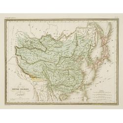
Empire Chinois et Japon.
Detailed map of China, Korea, Taiwan and Japan.From Malte-Brun's Atlas Géographie Universelle.., revised by Jean Jacques Nicolas Huot.This very fine executed map has bee...
Place & Date: Paris 1837
Selling price: $30
Sold
Carte de la Mer de Chine.. [Together with] Carte des Cotes orientales de Chine.. [Together with] Carte générale de la Mer des Indes..
A set of 3 printed charts of the China Sea added in manuscripts the tracks of the French frigate "Cleopatre" under command of Adm. Cecille in the years 1846 - 1...
Place & Date: Paris, 1838, 1842, 1837
Selling price: $3500
Sold in 2009
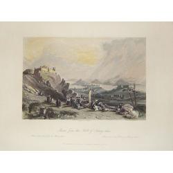
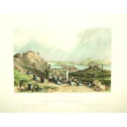
Macao from the Forts of Heang-shan.
A finely delineated view of the city of Macao as seen from one of its fortification areas. The foreground contains a group of religious worshipers. Engraved by S. Fisher....
Place & Date: London, ca. 1840
Selling price: $90
Sold in 2011
Chine et Japon.
Finely engraved map of China, Korea, Formosa and Tibet, prepared by A.H.Dufour and engraved by Giraldon-Bovinet. Published by Jules Renouard in his uncommon atlas "L...
Place & Date: Paris, Jules Renouard, ca.1840
Selling price: $50
Sold in 2015
Entrance of the Hoang-ho, or Yellow River.
Superb view of the mouth of the Yellow River or Huáng Hé in the Bohai Sea (a gulf of the Yellow Sea). With numerous very detailed boats and ships shown. Engraved by Adl...
Place & Date: London, ca. 1840
Selling price: $46
Sold in 2016
Bridge of Chains in China.
An interesting scene with a rope bridge over waterfalls. In the front several people are seen, including one angling.With nice hand color.
Place & Date: London, ca 1840
Selling price: $12
Sold in 2017
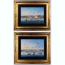
Canton. (Two gouaches).
Two so-called export paintings of the Thirteen Factories at Canton (Guangzhou). The flags of Denmark, France, the U.S., Sweden, Britain, and the Netherland are visible on...
Place & Date: China, ca. 1840
Selling price: $4300
Sold in 2020
Macao from the Forts of Heang shan.
A finely engraved view of the city of Macao, as seen from the Heang-shan forts. In the foreground is a group that is gathered for a worship or blessing of some kind. Two ...
Place & Date: London and/or Paris, ca. 1841
Selling price: $50
Sold
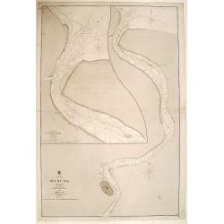
China WOOSUNG RIVER surveyed by Capt. H.Kellett C.B. & R.Collinson C.B.
Important Anglo-Chinese War ("Opium war") of 1838 - 1842 map.Detailed drawing of the Woosung river, as fair south as Shanghai. Prepared by the British commander...
Place & Date: China 1842
Selling price: $1400
Sold
Carte de la Chine.
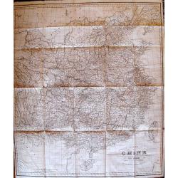
Rare, incredibly detailed map of China prepared by the renowned German historian, linguist, orientalist, and explorer Julius Klaproth. Originally intended to accompany Kl...
Place & Date: Paris, 1842
Selling price: $420
Sold
A map to illustrate the war in China...
Scarce map of China during the Opium Wars, extending from Peking to Kanton (Guangzhou), Macau, and Hong Kong . North oriented to the right. Very detailed map including s...
Place & Date: London, 1842
Selling price: $325
Sold in 2013
Carte de la Chine.
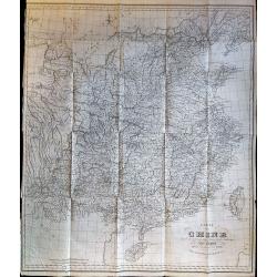
Rare, incredibly detailed map of China prepared by the renowned German historian, linguist, orientalist, and explorer Julius Klaproth. Originally intended to accompany Kl...
Place & Date: Paris, 1842
Selling price: $420
Sold in 2017
China.
A highly detailed map of China, extending from Tibet until South Korea. Names many towns, areas, rivers, islands,... Includes a tip of Japan and the Philippines.
Place & Date: London, ca. 1843
Selling price: $11
Sold in 2017
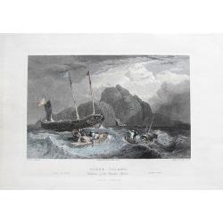
Tiger Island. Entrance of the Canton River.
A superb view of the mouth of the Pearl River, near Guangzhou and Hong Kong. With three very detailed boats and ships shown.Engraved by Goodall, drawn by Standfield, sket...
Place & Date: London, 1844
Selling price: $16
Sold in 2017
HONG KONG surveyed by Captn. Sir Edward Belcher, in H.M.S. Sulphur 1841. Corrected to 1845.
Nautical chart of Hong Kong. Engraved by J. & C. Walker, it is based on the observations of Sir Edward Belcher, a British naval officer and explorer.Belcher entered t...
Place & Date: London 1841 - 1845
Selling price: $12500
Sold
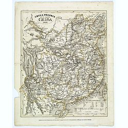
China-Propria oder das eigentliche China.
This map of China shows the mainland, and the islands of Formosa and Taiwan. This map is well engraved, with excellent topographical detail, but has minimal decoration.
Place & Date: Hildburghausen, 1846
Selling price: $50
Sold in 2017
Chart to the coast of China from the Canton River to the Yang Tze Keang, prepared by John Walker, geographer to the Honble. East India Company.
Detailed chart to the coast of China, including Taiwan. The map has numerous insets (Hong Kong, River Woo-sung to Shanghai, Killon Harbour and Merope Bay Formosa, River M...
Place & Date: London 1847
Selling price: $1000
Sold
To Chas. Majoribanks esq.re and the other members of the hon.ble East India Company's factory at Canton, this Chart of Choo Keang or Canton river, is inscribed ... by James Horsburgh.
The chart stretches from north to south from Canton (Guangzhou) to Canzhou Island, and west to east from Dashi Bay to Hong Kong. Includes inset of Pearl River segment fro...
Place & Date: July 1831 corrections to 1847
Selling price: $6900
Sold in 2018
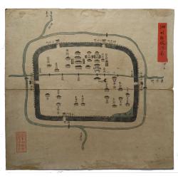
Sizhou city, Jiangsu Province.
An original Qing Dynasty era Chinese manuscript map of Sizhou city in Jiangsu province, China.Sizhou was destroyed by floods during emperor Kangxi reign about 300 years a...
Place & Date: China, ca. 1850
Selling price: $950
Sold in 2019
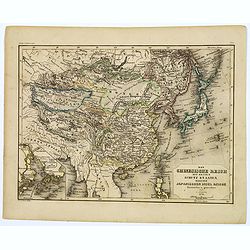
Das Chinesische Reich und die Japanischen Jnseln.
A fine steel-engraved map from a scarce German Atlas: 'Schuberth's Hand-Atlas'. It shows China, Korea and Japan, as well as surrounding areas including Mongolia, Siberia,...
Place & Date: Nuremberg, ca 1850
Selling price: $17
Sold in 2021
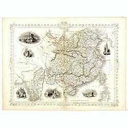
China and Birmah.
A highly decorative and detailed map of China and Burma which was drawn and engraved by J. Rapkin (vignettes by A. H. Wray & J. B. Allen).Showing British Factories in...
Place & Date: London & New York: John Tallis & co, c.1851
Selling price: $200
Sold in 2017
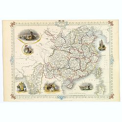
China and Birmah.
A highly decorative and detailed map of China and Burma drawn and engraved by J. Rapkin.Drawn by A.H. Wray and J.B. Allen, the map's vignettes include British factories i...
Place & Date: London & New York, c. 1851
Selling price: $130
Sold in 2018
China and Birmah.
A highly decorative and detailed map of China and Burma which was drawn and engraved by J. Rapkin (vignettes by A. H. Wray & J. B. Allen).Showing British Factories in...
Place & Date: London, Edinburgh & Dublin 1851
Selling price: $195
Sold in 2019
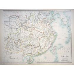
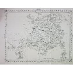
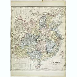
China
A highly detailed and attractive map of China drawn and engraved by William Hughes – Sidney Hall, steel engraved.Published by Adam & Charles Black in the ‘General...
Place & Date: Edinburgh, 1854
Selling price: $85
Sold in 2016
China.
A lovely, large map of China, with insets the Island of Chusan, and the Estuary of the Canto River from Hong Kong to Canton. Korean peninsula shown. Good detail and excel...
Place & Date: Edinburgh, 1854
Selling price: $95
Sold in 2018
Map of the Punjab: western Himalaya and adjoining parts of Tibet from recent Surveys, and based upon the Trigonometrical survey of India, . . .
Rare separately published map of the Western Himalayas, Tibet and part of Punjab, published as part of the Great Trigonometrical Survey of India. The map was issued by th...
Place & Date: London, W.H. Allen & Co., 1854
Selling price: $650
Sold in 2021
CHINA and BIRMAH
This is the uncommon and slightly later edition by Rapkin based on Tallis' maps. The vignettes have been removed and the map is issued in black and white.A rare and desir...
Place & Date: London, 1855
Selling price: $60
Sold
China and Birmah.
Very detailed and up-to-date map, from the Bay of Bengal to Formosa (Taiwan). Includes also a part of Luzon. Filled with place names! This is the uncommon and slightly l...
Place & Date: London, ca. 1855
Selling price: $26
Sold in 2013
Chart of the Coast of China and of the Japan Islands including the Marianes and a Part of the Philippines.
Commodore Perry’s Sailing Directions for China and Japan with large map of Asian waters including the Mariana Islands and a part of the Philippines. Compiled by order o...
Place & Date: Washington, 1855
Selling price: $120
Sold in 2015
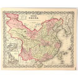
Colton's China
A map of China, Korea, Taiwan, Hong Kong and Macao. Surrounded by Colton's typical spiral motif border. From Colton's "ALAS OF THE WORLD".Joseph Hutchins Colton...
Place & Date: New York, 1855
Selling price: $42
Sold in 2016
Das Chinesische Reich mit seinen Schutz Staaten...Japanischen Insel Reiche.
A map of the Chinese and Japanese Empires published during the middle of the nineteenth century by Grassl, a German cartographer and engraver, who part worked in collabor...
Place & Date: Hildburghausen, 1856
Selling price: $50
Sold in 2017
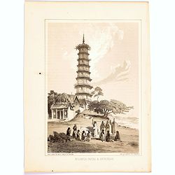
Whampoa Pagoda & Anchorage.
A lithographic illustration from the Narrative of The Expedition of an American Squadron to the China Seas and Japan, Performed in the Years 1852, 1853 and 1854, under th...
Place & Date: New York, 1856
Selling price: $15
Sold in 2020
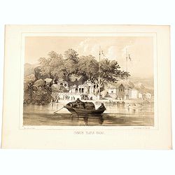
Jesuit Convent in Macao.
In the August of 1853, Commodore Perry departed Lew Chew for China. His first stop was in Macao, where he took a house for an extended stay. This lithograph is a view of ...
Place & Date: New York, 1856
Selling price: $27
Sold in 2020
Chinese Temple, Macao.
A pleasant view of the important Chinese Temple in Macao.
Place & Date: Philadelphia, 1856
Selling price: $15
Sold in 2020
Panoramic map of China. Published with No.16, new series of Cassell's illustrated family paper.
Uncommon map of China and Taiwan with relief shown pictorially. Published with No. 16, new series, of Cassell's illustrated family paper. In an inset lower left "Use...
Place & Date: London, John Cassel, March 20,1857
Selling price: $500
Sold in 2009
Carte de la Chine dressée d'après les matériaux Chinois les plus authentiques par J. Klaproth avec l'indication des cinq ports ouverts aux Européens. . .
Detailed map of China east of Tibet and including the islands of Tonkin and Taiwan. According to the title the map indicated the five ports open to the European traders a...
Place & Date: Paris, Benjamin Dupart, 1857
Selling price: $1200
Sold
Historical atlas of China throughout the successive dynasties Or Sina rekidai enkaku zu.
A beautiful woodblock atlas of China. Maps were originally made by the great Japanese cartographer, Nagakubo Sekisui, with this edition published by Ninomiya. There are...
Place & Date: Osaka,1857
Selling price: $2900
Sold in 2017
Sick and wounded embarking at Hong-Kong on Board the Steamer.
Large view of the harbour with numerous ships and people. From the Illustrated London News, October 23, 1858.
Place & Date: London, 1858
Selling price: $15
Sold in 2016
China, Wusung River surveyed by comander John Ward..
Very detailed chart of the Wusung River north of Shanghai. With inset plan of the entrance of the river Wusung. Shanghai is devided in "Walled City" with around...
Place & Date: London 1859
Selling price: $435
Sold
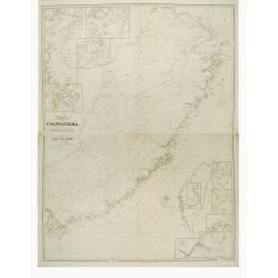
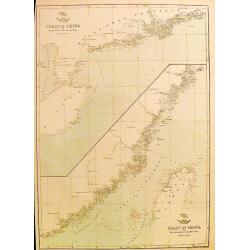
Coast of China (4 maps on 2 sheets)
Attractive set of four maps on two sheets depicting the entire Chinese coast.
Place & Date: London, c. 1860
Selling price: $40
Sold in 2013
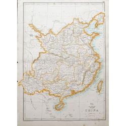
China.
A map of China and Taiwan, highly detailed, filled with place names.The Weekly Dispatch newspaper was published in London between the years 1856 and 1862, and included in...
Place & Date: London, ca. 1860
Selling price: $53
Sold in 2018
Coast of China. . .
Two charts on one sheet: The coast of China from Nyew tew Island to Hae-Chow; and the Coast of China from Hae-Chow to Leaotong Gulf. Both maps are highly detailed, filled...
Place & Date: London, ca. 1860
Selling price: $17
Sold in 2018
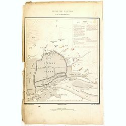
Prise de Canton 28 et 29 Décembre 1857.
A rare plan of Canton prepared by Captain Labbe. Plate II from "Atlas de l'expédition de Chine en 1860: rédigé au dépôt de la guerre d'après les documents offi...
Place & Date: Paris, 1862
Selling price: $250
Sold in 2018
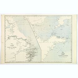
Coast of China. Nyew tew island to Hae Chow / Hae Chow to Leaotong Gulf.
A pair of coastal maps of China, published in the Weekly Dispatch Atlas circe 1862. The map information is mainly confined to the coast, but there is some detail inland a...
Place & Date: London, ca 1862
Selling price: $45
Sold in 2020
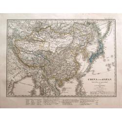
China und Japan. Entworfen und gezeichnet von F. von Stülpnagel. 1850 bereicht v. Herm. Berghaus.
Interesting and highly detailed map of the Far East, centered on China. Includes Japan, Taiwan, northern Philippines, Tibet, Mongolia, Nepal, parts of India, Myanmar, Tha...
Place & Date: Gotha, 1863
Selling price: $61
Sold in 2014
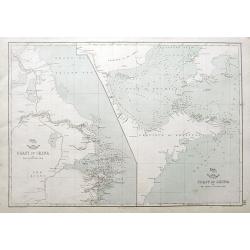
Coast of China [2 maps].
A pair of Chinese coastal maps: The first from Nyew Tew Island to Hae-Chow. The second from Hae-Chow to Leaotong Gulf. Both show depth soundings, numerous bays and inlets...
Place & Date: London, ca 1863
Selling price: $55
Sold in 2023
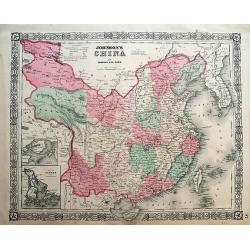
Johnson's China.
Very detailed map of China. Includes Formosa (Taiwan) and Korea. With an inset map of Canton area including Hong Kong; and a second inset map of Amoy (Xiamen) Island. ...
Place & Date: New York, 1864
Selling price: $97
Sold in 2012
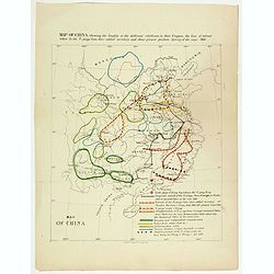
Map of China showing the locality of the different rebellions in that Empire, the line of retreat taken by the Ti-pings from their settled territory, and their present position Spring of the year 1866.
Map of China showing the locality of the different rebellions in that Empire, the line of retreat taken by the Ti-pings from their settled territory, and their present po...
Place & Date: London, circa 1867
Selling price: $230
Sold in 2017
Landing of the Prince at Hong-Kong.
Nice view of the harbour with numerous ships celebrating the arrival of the Prince Alfred - the Duke of Edinburgh in Hongkong. From the Illustrated London News, January 2...
Place & Date: London, 1870
Selling price: $27
Sold in 2016
Great Fire at Hong-Kong.
A view of several buildings burning with a number of people in the foreground. From the Illustrated London News, ca. 1865-1870.
Place & Date: London, ca. 1870
Selling price: $11
Sold in 2017
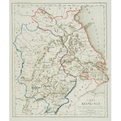
Carte du Kiang Nan ..
Detailed and very rare map of the area of Shanghai, showing the location of the missionaries' residences during the years 1871-72. P. Carceri was an missionary active for...
Place & Date: Lyon 1872
Selling price: $640
Sold
Chine. Golfes de Pe-Tchi-Li et de Liau-Tung partie nord de la mer jaune. . .
Sea chart the northern part of the yellow sea encompassing the Pe-Tchi-Li and Liau-Tung Gulfs. In lower right the west coast of North Korea.An updated coastline by Capt. ...
Place & Date: Paris, 1863 updated for 1877
Selling price: $420
Sold
Carte de cotes orientales de Chine . . .
Chart of the China Sea, including Korea, Taiwan, and Kyushu island with lighthouse colored in red dots with yellow.The chart is showing towns, banks, isles, and soundings...
Place & Date: Paris, 1842, updated 1877
Selling price: $500
Sold in 2009
(Set of 4 maps) Itinéraire de Pékin à Sartchy
Set of 4 geological maps.
Place & Date: Paris, ca. 1880
Selling price: $50
Sold in 2019
Chinese export album with 12 drawings.
Chinese export painting album with 12 drawings.
Place & Date: Peking, 1880
Selling price: $800
Sold in 2016
Ju Hachi Shiryaku - Summaries of the 18 eras.
A wonderful atlas of Chinese maps, showing the geographic extent of various Chinese dynasties. 10 double page woodblock maps of China. Meiji 12 (1880) the text is in Japa...
Place & Date: 1880
Selling price: $210
Sold in 2016
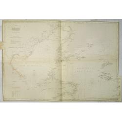
Carte de la Mer de Chine. . . N° 3002.
Sea chart depicting the China Sea prepared by the French Ingenieur L.Manen. The Chart is updated for the year 1882, and must have served the French during the Sino-French...
Place & Date: Paris, 1871 updated to September 1882
Selling price: $350
Sold in 2009
The Chinese Empire Compiled from Native and Foreign Authorities.
Extremely detailed map of China and Korea with inset of Hong Kong & the Pearl River Delta and Amoy. Published by Charles Scribner's Sons.
Place & Date: New York, 1883
Selling price: $36
Sold in 2012


![[ XXXVIII. Ceremonie funebri].](/uploads/cache/35000-250x250.jpg)
![[ LVIII. Arco di Cantone, di Ce-Ceu-Fu].](/uploads/cache/35001-250x250.jpg)
![[XI. Ritratti d'Imperatori e d'uomini celebri].](/uploads/cache/35003-250x250.jpg)
![[LXX. Donne della provincia di Kiang-Nan, e piedi delle donne Cinesi].](/uploads/cache/35006-250x250.jpg)
![[XXXVI. Cappelletta di campagna].](/uploads/cache/35007-250x250.jpg)
![[XXXIV. Bonzo in abito di cerimonia].](/uploads/cache/35008-250x250.jpg)
![[LXXIV. Vetture, lettighe].](/uploads/cache/35009-250x250.jpg)
![[LVII. Torre di Nan-King].](/uploads/cache/35010-250x250.jpg)
![[XLIII. Aratro, seminatojo].](/uploads/cache/35011-250x250.jpg)
![[XVII. Trono, Yu-U o scetro].](/uploads/cache/35012-250x250.jpg)
![[XX. Armi antiche e machine da guerra].](/uploads/cache/35013-250x250.jpg)
![[LXXIII. Varj giuochi].](/uploads/cache/35014-250x250.jpg)
![[LXXX. Divinità suprema].](/uploads/cache/35015-250x250.jpg)
![[VIII. Animali e Vegetabilidella Cina].](/uploads/cache/35017-250x250.jpg)
![[XXXIX. Varj sepolcri ].](/uploads/cache/35019-250x250.jpg)
![[Ritratti d'Imperatori e d'uomoni celebri].](/uploads/cache/35004-250x250.jpg)
![[Lot with two maps] Map of the Three Kingdoms / Map of the Great Ming Dynasty.](/uploads/cache/92041-250x250.jpg)
![Carte de la Mer de Chine.. [Together with] Carte des Cotes orientales de Chine.. [Together with] Carte générale de la Mer des Indes..](/uploads/cache/24291-250x250.jpg)













![Coast of China [2 maps].](/uploads/cache/45479-250x250.jpg)
