Browse Listings in Asia > Arabian Peninsular
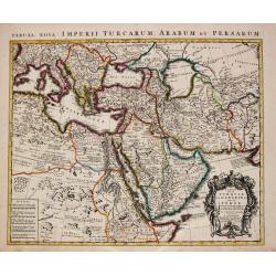
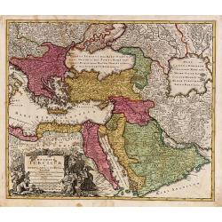
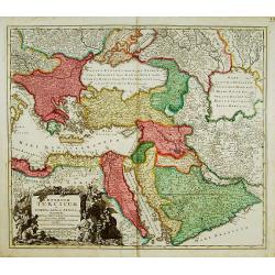
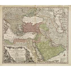
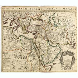
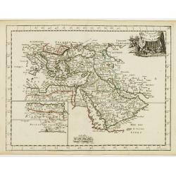
Turcicum Imperium.
Detailed map of the Turkish Empire by Holland's leading mapmaker at the end of the seventeenth century. The cartouche shows an Ottoman administrator or possibly the Sulta...
Place & Date: Amsterdam, 1680
Selling price: $350
Sold in 2016
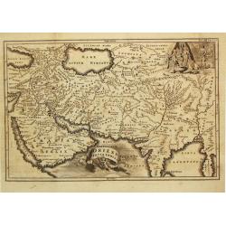
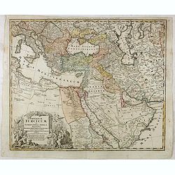
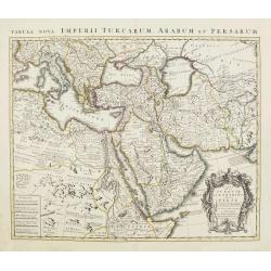
Nova Persiae Armeniae Natoliae et Arabiae.
East from Cyprus to Iran with numerous place names and ornamental cartouches below. There are vignettes of sailing ships in sea areas and the land divisions of the time a...
Place & Date: Amsterdam, 1680
Selling price: $160
Sold in 2016
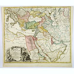
Nova Persiae Armeniae Natoliae et Arabiae.
East from Cyprus to Iran with numerous place names and ornamental cartouches below. There are vignettes of sailing ships in sea areas and the land divisions of the time a...
Place & Date: Amsterdam, 1680
Selling price: $250
Sold in 2016
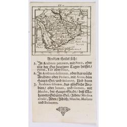
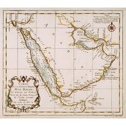
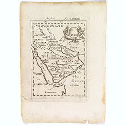
Arabie.
An attractive small map of the Arabian peninsular.
Place & Date: Frankfurt, 1684
Selling price: $60
Sold in 2018
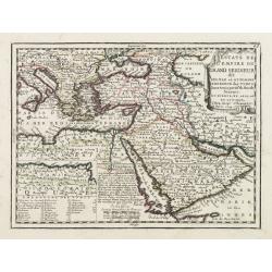
[Lot of 6 maps of the eastern Mediterranean] Estats / du Grand Seigneur / des Turcs / en Europe, en Asie et en Afrique
An attractive large-format map showing the Turkish empire in Europe, Asia and Africa, comprising the eastern Mediterranean and the Near East. Embellished with a large t...
Place & Date: Amsterdam, c. 1685
Selling price: $500
Sold in 2022
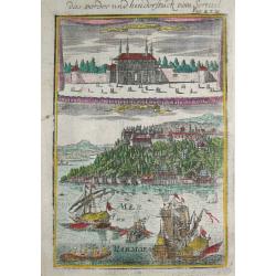
Das vorder und hinderstück vom Serrail.
Alain Manneson Mallet (1603-1706) published in 1683 his ' Description de l' Univers' in 5 volumes. In 1686 a German edition appeared.The serail in Istanbul seen from the ...
Place & Date: Frankfurt, 1686
Selling price: $90
Sold
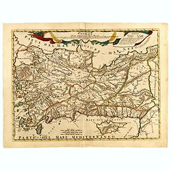
Asiae Minoris lacobi cantelly vineolensis...
Giacomo Rossi's fine late 17th century map of Turkey and Cyprus. Issued in Il Mercurio geografico
Place & Date: Rome, 1686
Selling price: $200
Sold in 2015
Natolia detta anticamente Asia minore...
Giacomo Rossi's fine late 17th century map of Ancient Turkey, with Cyprus. Issued in Il Mercurio geografico In upper center title cartouche.
Place & Date: Rome, 1686-1688
Selling price: $200
Sold in 2015
Stato del Gran Turco diviso ne suoi Beglierbati, . . .
Rossi's scarce map of Turkish Empire with the Eastern Mediterranean, Cyprus, Turkey, Arabia, the Black Sea, Asia Minor and neighboring regions.
Place & Date: Rome, 1679-1688
Selling price: $250
Sold in 2015
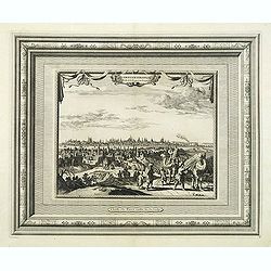
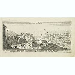
Ramma in Arabia.
Magnificent bird's eye- of Ramma. Etched by Gaspar Bouttats (1640-1695).The Antwerp based publisher Jacques Peeters published ca. 1690 a series of prints related to the H...
Place & Date: Antwerp, c.1690
Selling price: $100
Sold in 2011
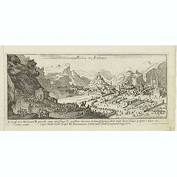
Mecha in Arabia.
Magnificent bird's eye- of Mecca in the Makkah province of Saudi Arabia; landscape with a caravan from Constantinople in lower left corner, proceeding towards the city, s...
Place & Date: Antwerp, c.1690
Selling price: $225
Sold in 2013
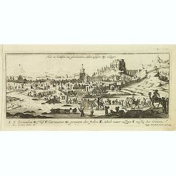
Hur in Caldea nu gheheeten Hurcasdijn by allepo.
Magnificent bird's eye- of the ancient city of Ur(fa) now-a-days Hurcasdin. Etched by Gaspar Bouttats (1640-1695).The Antwerp based publisher Jacques Peeters published ca...
Place & Date: Antwerp, c.1690
Selling price: $80
Sold in 2016
ADEN.[Yemen]
A beautifully old colored view of Aden by Koppmayer, Augsburg.
Place & Date: Augsburg, 1690
Selling price: $120
Sold in 2021
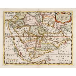
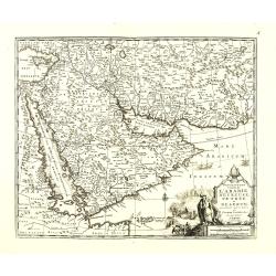
't Steenachtige, Woest, en Gelukkig Arabien.
An attractive map of the Arabian Peninsula from a Dutch text edition. Engraved by A.de Winter.
Place & Date: Amsterdam 1700
Selling price: $350
Sold
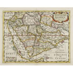
't Steenachtige, Woest, en Gelukkig Arabien.
An attractive map of the Arabian Peninsula from a Dutch text edition. Engraved by A.de Winter.
Place & Date: Amsterdam, 1700
Selling price: $750
Sold
Arabia.
A lovely miniature map of the Arabian peninsular, showing the Red Sea, parts of Persia, Bagdad, parts of north eastern Africa, to the Horn of Africa. For such a small map...
Place & Date: Ulm, 1702
Selling price: $115
Sold in 2020
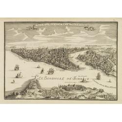
Veue de la ville et du port de Constantinople.
Uncommon bird's-eye view of Istanbul (Constantinople) with Scutari in the foreground, identifying numerous landmarks and a number of ships in the Bosporus.
Place & Date: Paris, 1705
Selling price: $360
Sold
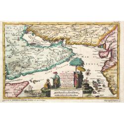
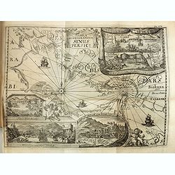
De Persiaanze Zee met d' Eylanden in deselve Tussen de Kusten van Arabier en Persie Gelegen tot aan den Indus Vloed. De Voorkusten van Guzaratte en Malabaar Tot aan Kaap Komeryn.
Pieter van der Aa was a prolific publisher. He published a.o. ' Naauwkeurge versameling der gedenkwaardigste zee- en land-reysen', a series of accounts of voyages (1706-0...
Place & Date: Leiden, 1707
Selling price: $275
Sold in 2008
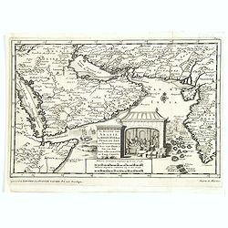
De kusten van Arabie het Roode Meer en Persize Zee..
Map of the Arabian Peninsula till West Coast of India, southern Persia and the 'Horn of Africa'.
Place & Date: Leiden, 1707
Selling price: $195
Sold in 2016
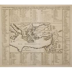
Carte Geographique de l'Asie Mineure ...
Detailed map of the Mediterranean Region, from Chatelain's monumental Atlas Historique.
Place & Date: Paris, 1710
Selling price: $40
Sold in 2011
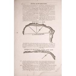
Two double sided pages No's 25 & 26 ‘Directions for the coast of Arabia.' 27 & 28 Directions for the Coast of Persia & ‘Directions for the coast of Arabia
Four woodblock chart’s on two double sided sheets by Samuel Thornton showing the approaching coast lines Arabia by John How and Samuel Thornton. Pages numbered 25,26,27...
Place & Date: London, 1711
Selling price: $60
Sold in 2015
Amoenitatum exoticarum politico-physico-medicarum fasciculi V.
> FIRST EDITION OF KAEMPFER'S FIRST WORK ON ASIAN NATURAL HISTORY AND MEDICINE, the only book Kaempfer published during his lifetime. The book includes on page 764 &qu...
Place & Date: Lemgo: Heinrich Wilhelm Meyer, 1712
Selling price: $3750
Sold
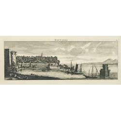
Sattalia.
Beautiful panoramic view of Sattalia. Sattalia was one of the most important cities of the Ottoman Empire and contains many old buildings as can be easily inferred from i...
Place & Date: Paris, 1714
Selling price: $200
Sold in 2013
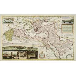
The Turkish Empire in Europe, Asia and Africa..
A fascinating, very decorative map of Turkey, the Arabian peninsular, the Mediterranean and countries bordering. The map is covered with detailed annotations, and has lar...
Place & Date: London 1715
Selling price: $1500
Sold
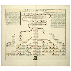
GENEALOGIE DE MAHOMET Depuis Ismael fils du Patriarche Abraham. (Muhammad).
An old colored folio sheet that shows a detailed genealogical chart of Ishmael and his descendants to the prophet Mahomet (Muhammad), founder of Islam. It was published i...
Place & Date: Amsterdam, ca 1715
Selling price: $42
Sold in 2020
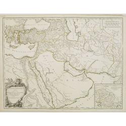
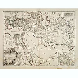
Estats de L'empire du Grand Seigneur dit Sultan et Ottomans Empereur des Turcs..
The map shows the extent of the Ottoman Empire from the Balkans to Persia, including all of Arabia and North Africa (an inset map at lower left shows the continuation of ...
Place & Date: Paris, 1719
Selling price: $250
Sold
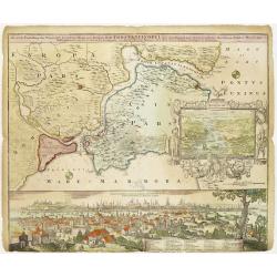
Accurate Vorstellung der Orientalisch Kayserlichen Haupt- und Residenz-Stadt Constantinopel samt ihrer Gegend und zweven berühmten Meer-Engen Bosphoro Thracio und Hellesponto..
A lovely and well engraved plan of Istanbul. A large inset features a bird's-eye view of the Bosphorus with several ships in the foreground framed with an allegorical car...
Place & Date: Nuremberg 1720
Selling price: $925
Sold
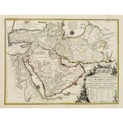
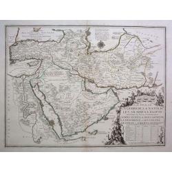
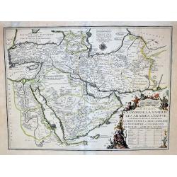
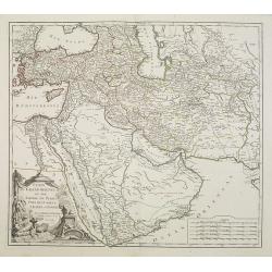
La Perse, La Georgie, LA Natolie, Les Arabies, L'Egipte et le Cours du Nile..
A regional map showing the Asian territories of Ottoman Empire with emphasis on the course of river Nile.The map has an elaborate cartouche showing the ethnic population ...
Place & Date: Paris, 1720
Selling price: $650
Sold in 2008
Description exacte de l'arabie heureuse, Petrée et Déserte.
Very rare map of Arabian peninsular, here called "L'Arabie heureuse", "Arabia Felix" or "Happy Arabia", prepared by Pierre van der AA (1659-...
Place & Date: Amsterdam, ca 1720
Selling price: $750
Sold in 2010
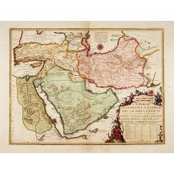
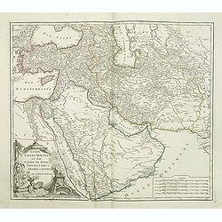
La Perse, La Georgie, La Natolie, Les Arabies, L'Egipte et le Cours du Nile. .
A scarce regional map showing the Asian territories of Ottoman Empire with emphasis on the course of river Nile. The map has an elaborate cartouche showing the ethnic pop...
Place & Date: Paris, c 1720
Selling price: $900
Sold in 2013
Arabiae Veteris Typus.
An attractive map of the ancient Arabian Peninsular, with a colored pictorial title cartouche.
Place & Date: Nuremberg, 1720
Selling price: $220
Sold in 2018
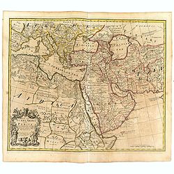
A map of Turkey Arabia and Persia . .
Fine map of Arabia, Egypt, Turkey, Greece, Persia and Mediterranean with decorative title cartouche flanked by a Greek and a Turk, based on the work of Guillaume De L'Isl...
Place & Date: London, 1721
Selling price: $700
Sold in 2016
La Perse La Georgie, La Natolie Les Arabies..
Rare map of the Arabian Peninsular, Turkey, Persia. Prepared by Nicolas de Fer, issued by G.Danet.
Place & Date: Paris 1724
Selling price: $850
Sold
La Perse La Georgie, La Natolie Les Arabies...
A very rare map of the Arabian Peninsular, Turkey, Persia. Prepared by Nicolas de Fer, issued by G.Danet. The title is enhanced with gold.
Place & Date: Paris, 1724
Selling price: $540
Sold in 2017
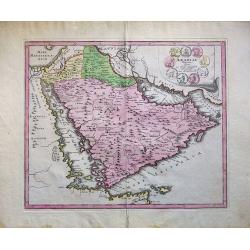
Arabiae Veteris.
Striking map of the ancient Arabian Peninsular. Title cartouche embellished with colored ancient coins.
Place & Date: Nuremberg, 1725
Selling price: $125
Sold in 2008
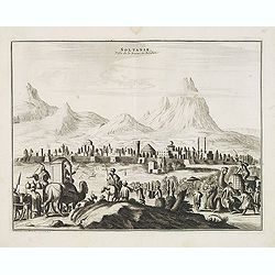
Soltanie Ville de la Perse en Arabie.
Decorative view of the town of Soltanie with on the foreground camels and horses. This well executed engraving was published in 1729 and 1727 by Pieter van der AA, in Lei...
Place & Date: Leiden, 1719-1727
Selling price: $200
Sold in 2015
Pas-kaart van t Westerdeel van Oost Indien..
East to the top. A very representative example of a Dutch chart of the East Coast of Africa, the Arabian pen-insular and India. Prepared and signed by Gerard van Keulen a...
Place & Date: Amsterdam, c.1728
Selling price: $2900
Sold in 2010
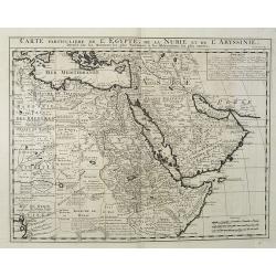
Carte Particuliere De L'Egypte, De La Nubie et de L'Abyssinie, Dressee sur les Memoires les plus Nouveaux & les Observation les plus exactes.
Including the Arabian Peninsular, Egypt, north eastern part of Africa, Cyprus and part of the Mediterranean.Based on the work of Guillaume Delisle. It is a very detailed ...
Place & Date: Amsterdam, 1728
Selling price: $250
Sold in 2016
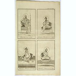
(Tamberlan / Miracha / Mohamed / Abuchaid)
From Chatelain's monumental 7- volume Atlas Historique. Henri Abraham Chatelain (1684 – 1743) was a Huguenot pastor of Parisian origins. He lived consecutively in Paris...
Place & Date: Amsterdam, 1728
Selling price: $20
Sold in 2018
Carte de la Turquie, de la L'Arabie et de la Perse..
Including the Arabian Peninsular, Egypt, Persia, Caspian Sea, north eastern part of Africa, Cyprus and Mediterranean. From Chatelain's monumental 7 volume "Atlas His...
Place & Date: Amsterdam, 1728
Selling price: $300
Sold in 2017
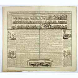
Description du pelerinage des turcs a la Mecque et a Medine . . .
Fascinating engraving depicting Turkish peoples en route from the gates of Cairo to visit their holy sites in Mecca and Medina is in a beautifully detailed vignette which...
Place & Date: Amsterdam, 1728
Selling price: $55
Sold in 2017
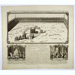
Le temple de la Mecque avec une description de tout ce qu'on y voit . . .
Fascinating engraving depicting the Muslim Kaaba at Mecca. Below the main image are two smaller vignette images of people praying. In between the two vignettes is a key (...
Place & Date: Amsterdam, 1728
Selling price: $56
Sold in 2017
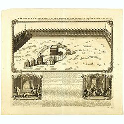
Le temple de la Mecque avec une description de tout ce qu'on y voit . . .
Fascinating engraving depicting the Muslim Kaaba at Mecca, Arabia. Below the main image are two smaller vignette images of people praying. In between the two vignettes is...
Place & Date: Amsterdam, 1728
Selling price: $200
Sold in 2018
Constantinople Ville de la Turquie en Europe.
Beautiful view of Constantinople, from "La Galerie agreable du monde. . . divisée en LXVI tomes...Cette partie comprend le tome premiere d'Hongrie, Turquie en Europ...
Place & Date: Leiden, 1729
Selling price: $300
Sold in 2011
Carte de la Turquie de l'Arabie et da le Perse.
Superb map of the Ottoman Empire stretching from the Balkans through present-day Turkmenistan in the north and including Northeastern Africa and the Arabian Peninsula. Th...
Place & Date: Amsterdam, c. 1730
Selling price: $425
Sold in 2016
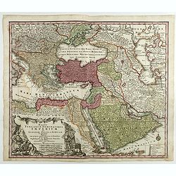
Magni Turcarum Dominatoris Imperium per Europam ..
Alluring map of the Near and Middle East centered on Turkey, giving good detail in the Arabian Peninsula.With large cartouche in lower left depicting figures with turbans...
Place & Date: Augsburg, 1730
Selling price: $150
Sold in 2018
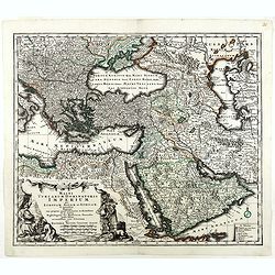
Magni Turcarum Dominatoris Imperium per Europam . . .
Alluring map of the Near and Middle East centered on Turkey, giving good detail in the Arabian Peninsula.With large cartouche in lower left depicting figures with turbans...
Place & Date: Augsburg, 1730
Selling price: $250
Sold in 2019
Oriens, Persia, India etc.
Christoph Cellarius (1638-1707). Geographia Antiqua, 1686
Place & Date: Leipzig, Gledisch, 1732
Selling price: $60
Sold
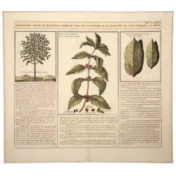
Description, Figure, et Qualite de L' Arbre du CAFÉ; Avec la Maniere de le Cultiver et d'en Cueiller le Fruit.
A large, old colored engraving showing the coffee plant and bean. Descriptive text in French below the images. Originates from: "Atlas Historique..." (Historic ...
Place & Date: Amsterdam, 1732
Selling price: $52
Sold in 2020
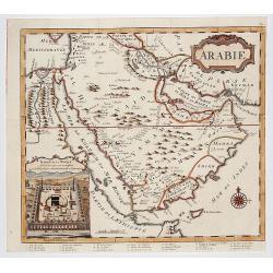
ARABIE . . .
Rare copperplate map of the Arabic peninsula with a view of the Kaaba / temple in Mecca in lower left corner. From the first edition of "The Koran, commonly called t...
Place & Date: London, Charles Ackers for John Wilcox, 1734
Selling price: $1150
Sold in 2017
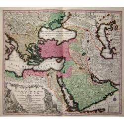
Imperium Turcicum in Europa, Asia et Africa.
Johann Baptist Homann's well-engraved map of the Turkish Empire. With fine decorative title cartouche. Johann Baptist Homann (1663-1724) was a German engraver and publish...
Place & Date: Nurnberg 1737
Selling price: $450
Sold
Imperium Turcicum in Europa, Asia et Africa.
Johann Baptist Homann's well-engraved map of the Turkish Empire. With fine decorative title cartouche. Johann Baptist Homann (1663-1724) was a German engraver and publish...
Place & Date: Nurnberg 1737
Selling price: $305
Sold
Imperium Turcicum in Europa, Asia et Africa.
Johann Baptist Homann's well-engraved map of the Turkish Empire with a fine decorative title cartouche. Johann Baptist Homann (1663-1724) was a German engraver and publis...
Place & Date: Nurnberg, 1737
Selling price: $220
Sold in 2017
Imperium Turcicum in Europa, Asia et Africa.
Johann Baptist Homann's well-engraved map of the Turkish Empire with a fine decorative title cartouche. Striking map of the Turkish Empire stretching from the Balkan peni...
Place & Date: Nurnberg, 1737
Selling price: $105
Sold in 2019
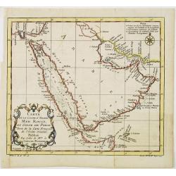
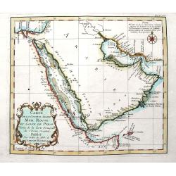
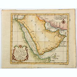
Carte de la coste d'Arabie Mer Rouge et Golfe de Perse.
With typical Rococo cartouche lower left. One of the few maps covering the Arabian Peninsular. Many coastal names appear.
Place & Date: Paris 1740
Selling price: $150
Sold
Magni Turcarum Dominatoris Imperium per Europam ..
Alluring map of the Near and Middle East centred on Turkey, giving good detail in the Arabian Peninsula.With large cartouche in lower left depicting figures with turbants...
Place & Date: Augsburg 1740
Selling price: $300
Sold
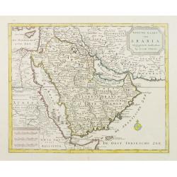
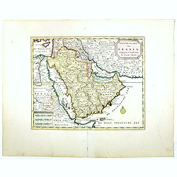
Nieuwe kaart van Arabia.
An attractive map of the Arabian Peninsula here called Gelukkig Arabia or Happy Arabia . The map has a great advance on other maps of the time by showing the true extent ...
Place & Date: Amsterdam, 1740
Selling price: $850
Sold
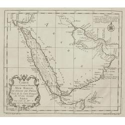
Carte de la coste d'Arabie Mer Rouge et Golfe de Perse.
With typical Rococo cartouche lower left.
Place & Date: Paris, 1740
Selling price: $160
Sold in 2021
Carte de la Coste d'Arabie, Mer Rouge, et Golfe de Perse,...
Nice small map focusing on the Red Sea, also covering coastal areas around the Arabian Peninsula and the Persian Gulf. Jacques Bellin was Hydrographer in the French Dép�...
Place & Date: Paris, 1740
Selling price: $55
Sold in 2009
Nieuwe kaart van Arabia.
An attractive map of the Arabian Peninsula here called Gelukkig Arabia or Happy Arabia . The map has a great advance on other maps of the time by showing the true extent ...
Place & Date: Amsterdam, 1740
Selling price: $550
Sold in 2016
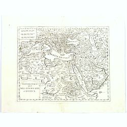
Stati del Turco situati Nell' Europa Asia ed Affrica.
Detailed map of southern Europe, northern eastern Africa, the Arabian peninsular, Turkey and the Balkans, and the Caucasus. Although attributed to Tirion, the map was act...
Place & Date: Venice, 1740
Selling price: $110
Sold in 2016
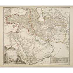
Etats du Grand-Seigneur en Asie, Empire de Perse, Pays des Usbecs, Arabie et Egypte.
Detailed map of the region bounded by the Black Sea, Georgia, the Caspian, Uzbekistan, The Indian Ocean, Saudi Arabia ("Arabie Heureuse"), Egypt, and the Red Se...
Place & Date: Paris, c.1745
Selling price: $125
Sold in 2010
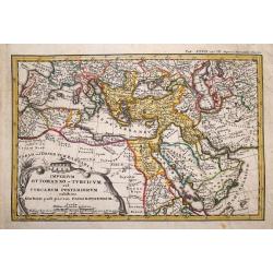
Imperium Ottomanno -Turcicum vel Turcarum posteriorum exhibens statum post pacem Passarovicensem.
Rare map of the Ottoman Empire, only known in one edition published in Haas's "Atlas historicus". This small but very detailed map extends from Spain and Morocc...
Place & Date: Nuremberg, Homann, c1746
Selling price: $120
Sold in 2014
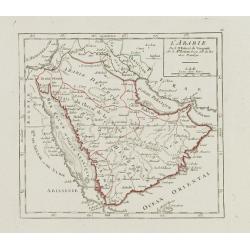
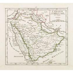
L'Arabie.
Small detailed map of the Arabian Peninsula. From Atlas Portatif Universel, by Robert de Vaugondy.Page 66 outside border top right. Mary Sponberg Pedley does not mention ...
Place & Date: Paris, later than 1748
Selling price: $85
Sold
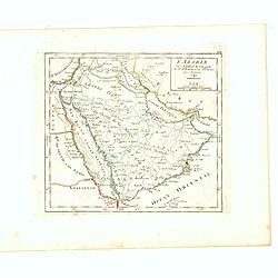
L'Arabie Par le Sr. Robert de Vaugondy fils de Mr. Robert Geog. ord du Roi avec Privilege 1749.
Small detailed map of Arabia. From Atlas Portatif Universel, by Robert de Vaugondy.Page 162 outside border top right. First and only state.More about Mapping of Arabia [+...
Place & Date: Paris, 1749
Selling price: $230
Sold in 2017
Magni Turcarum dominatoris Imperium
A fine decorative map of the Turkish Empire by Seutter.
Place & Date: Germany, c. 1750
Selling price: $425
Sold
Carte de la coste d'Arabie Mer Rouge et Golfe de Perse. . .
A fine map of the Arabian Peninsula with the Persian Gulf, and the Red Sea. With many place names along the coasts. Decorated with the large title cartouche and some attr...
Place & Date: Paris, ca. 1750
Selling price: $60
Sold in 2018
Carte de la Coste d'Arabie, Mer Rouge, et Golfe de Perse. . .
A pleasant map of the Arabian Peninsula, the Red Sea and the Gulf region, published in Paris during the mid 18th century. Published in the "Histoire générale des V...
Place & Date: Paris, ca 1750
Selling price: $30
Sold in 2021
Carte de la Turquie de L'Arabie et de la Perse.
Rare early state of De L'Isle's map of the Turkish Empire and Arabian Peninsula. Includes the Turkish Empire, Mediterranean, Central Asia and parts of the Ukraine, Egypt,...
Place & Date: Amsterdam, 1751
Selling price: $100
Sold in 2015
The Seraglio & Gardens of the Grand Seignior.
Rare plan of the Topkapi Palace in IstanbulThis rare plan of the Topkapi Palace in Istanbul was published by John Rocque, an English engraver, active in London from 1734....
Place & Date: London, 1752
Selling price: $1650
Sold in 2010
L'Arabie Par le Sr. Robert de Vaugondy.
Covering the Arabian Peninsula here called Arabie Heureuse . With title in upper left corner, the date 1748 erased. From his Atlas Portatif .
Place & Date: Paris 1753
Selling price: $120
Sold
Antiquor? Imperiorum.. Marcedonium seu Alexandri..
Including the Arabian Peninsula here called Arabia Deserta. Good detail in Turkey and Egypt.Large inset shows northern India from the Indus River and the region of the As...
Place & Date: Paris, 1753
Selling price: $100
Sold
Etats du Grand Seigneur en Asie Pays des Usbecs, Arabie et Egypte. . .
Beautifully engraved map of the Arabian peninsula and Turkey printed by Robert de Vaugondy. Ornamental title cartouche on the lower left corner of two figures one of whic...
Place & Date: Paris, 1753
Selling price: $250
Sold
Etats du Grand Seigneur en Asie Pays des Usbecs, Arabie et Egypte. . .
Beautifully engraved map of the Arabian peninsula and Turkey printed by Robert de Vaugondy. Ornamental title cartouche on the lower left corner of two figures one of whic...
Place & Date: Paris, 1753
Selling price: $220
Sold in 2011
Antiquor Imperiorum tabula, in quâ prae caeteris, Macedonium seu Alexandri. . .
Ancient map showing the Caspian Sea in the north, in the west to show Greece, east to the Indus River, and south to include the Red Sea and the Nile River valley. Almost ...
Place & Date: Paris, 1753
Selling price: $35
Sold in 2015
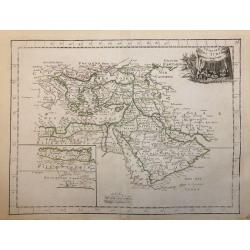
L' Empire des Turcs.
Fine map of the Ottoman Empire. Presenting a decorative title cartouche and an inset illustrating the western part of Magreb. George Louis Le Rouge was active from 1740- ...
Place & Date: Paris 1756
Selling price: $80
Sold
TURKEY AND ARABIA
Large map of the Middle-East, showing the Arabian peninsula, Turkey, Persia, Greece, Italy and a large part of north-eastern Africa. Originally designed and edited by de ...
Place & Date: Amsterdam, 1757
Selling price: $400
Sold
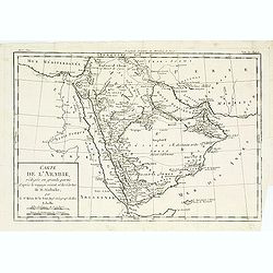
Carte de l'arabie, rédigée en grande partie..
Map of South Arabia based on the journey of the famous Danish explorer Carsten Niebuhr in this area. Showing the ruins of Babylon in actual Iraq and the ruins of Persepol...
Place & Date: Paris, 1760
Selling price: $40
Sold
L' Empire Des Turcs.
A highly detailed map of the Arabian Peninsula and the Eastern Mediterranean Sea.
Place & Date: Paris, 1767
Selling price: $80
Sold in 2020
Vue du Port de la Ville de Lamekk dans Larabie heureuse à 5 lieues de la Mer Rouge.
Imaginary optic vue of Mecca's harbor.
Place & Date: Paris 1730-1775
Selling price: $170
Sold in 2008
![[Lot of 6 maps of the eastern Mediterranean] Estats / du Grand Seigneur / des Turcs / en Europe, en Asie et en Afrique](/uploads/cache/18520-250x250.jpg)


![ADEN.[Yemen]](/uploads/cache/82807-250x250.jpg)
