Search Listings matching "cyprus" in Asia > Arabian Peninsular
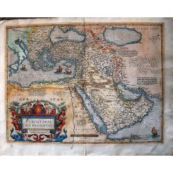
Turcici Imperii Descriptio.
The most famous of all the sixteenth-century maps of the Middle East. It extends from Greece to Arabia and covers the Cradle of Civilisation region. The Eastern Mediterra...
Place & Date: Antwerp, ca 1590
Selling price: $900
Sold in 2016
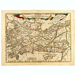
Tabula Asiae I.
The third state of Ruscelli's map of Turkey, based upon Claudius Ptolemy. Showing Asia Minor and parts of the Black Sea and Cyprus. Girolamo Ruscelli first published the ...
Place & Date: Venice, 1598
Selling price: $85
Sold in 2018
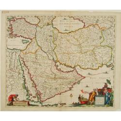
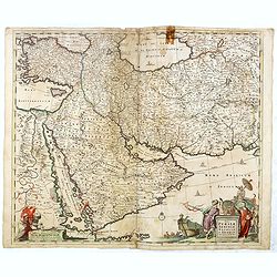
Nova Persiae, Armeniae, Natoliae et Arabiae.
East from Cyprus to Iran with numerous place names and ornamental cartouches below. There are vignettes of sailing ships in sea areas and the land divisions of the time a...
Place & Date: Amsterdam 1660
Selling price: $350
Sold
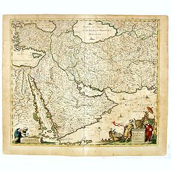
Nova Persiae, Armeniae, Natoliae et Arabiae.
East from Cyprus to Iran with numerous place names and ornamental cartouches below. There are vignettes of sailing ships in sea areas and the land divisions of the time a...
Place & Date: Amsterdam, 1660
Selling price: $750
Sold in 2013
Turicum Imperium.
Attractive map of Turkey, Arabia, Persia and the east Mediterranean region, including Cyprus.
Place & Date: Amsterdam, 1670
Selling price: $615
Sold in 2010
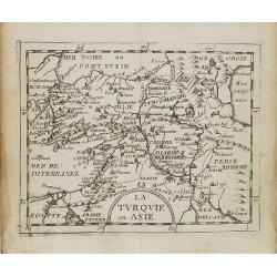
La Turquie en Asie.
Uncommon miniature map of Turkey, Cyprus, Palestine, Iran and Iraq. From Pierre Duval's La Geographie Universeille dated 1676. Following his Cartes de geographie in 1657,...
Place & Date: Paris, 1676
Selling price: $30
Sold in 2008
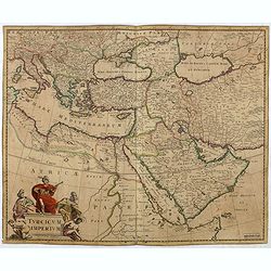
Turcicum Imperium.
Detailed map of the Turkish Empire by Holland's leading mapmaker at the end of the seventeenth century. The cartouche shows an Ottoman administrator or possibly the Sulta...
Place & Date: Amsterdam, 1680
Selling price: $750
Sold in 2011
Turcicum Imperium.
Detailed map of the Turkish Empire by Holland's leading mapmaker at the end of the seventeenth century. The cartouche shows an Ottoman administrator or possibly the Sulta...
Place & Date: Amsterdam, 1680
Selling price: $350
Sold in 2016
Nova Persiae Armeniae Natoliae et Arabiae.
East from Cyprus to Iran with numerous place names and ornamental cartouches below. There are vignettes of sailing ships in sea areas and the land divisions of the time a...
Place & Date: Amsterdam, 1680
Selling price: $160
Sold in 2016
Nova Persiae Armeniae Natoliae et Arabiae.
East from Cyprus to Iran with numerous place names and ornamental cartouches below. There are vignettes of sailing ships in sea areas and the land divisions of the time a...
Place & Date: Amsterdam, 1680
Selling price: $250
Sold in 2016
Asiae Minoris lacobi cantelly vineolensis...
Giacomo Rossi's fine late 17th century map of Turkey and Cyprus. Issued in Il Mercurio geografico
Place & Date: Rome, 1686
Selling price: $200
Sold in 2015
Natolia detta anticamente Asia minore...
Giacomo Rossi's fine late 17th century map of Ancient Turkey, with Cyprus. Issued in Il Mercurio geografico In upper center title cartouche.
Place & Date: Rome, 1686-1688
Selling price: $200
Sold in 2015
Stato del Gran Turco diviso ne suoi Beglierbati, . . .
Rossi's scarce map of Turkish Empire with the Eastern Mediterranean, Cyprus, Turkey, Arabia, the Black Sea, Asia Minor and neighboring regions.
Place & Date: Rome, 1679-1688
Selling price: $250
Sold in 2015
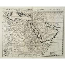
Carte Particuliere De L'Egypte, De La Nubie et de L'Abyssinie, Dressee sur les Memoires les plus Nouveaux & les Observation les plus exactes.
Including the Arabian Peninsular, Egypt, north eastern part of Africa, Cyprus and part of the Mediterranean.Based on the work of Guillaume Delisle. It is a very detailed ...
Place & Date: Amsterdam, 1728
Selling price: $250
Sold in 2016
Carte de la Turquie, de la L'Arabie et de la Perse..
Including the Arabian Peninsular, Egypt, Persia, Caspian Sea, north eastern part of Africa, Cyprus and Mediterranean. From Chatelain's monumental 7 volume "Atlas His...
Place & Date: Amsterdam, 1728
Selling price: $300
Sold in 2017
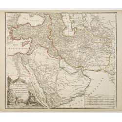
Etats du Grand-Seigneur en Asie, Empire de Perse, Pays des Usbecs, Arabie et Egypte.
Detailed map of the region bounded by the Black Sea, Georgia, the Caspian, Uzbekistan, The Indian Ocean, Saudi Arabia ("Arabie Heureuse"), Egypt, and the Red Se...
Place & Date: Paris, c.1745
Selling price: $125
Sold in 2010
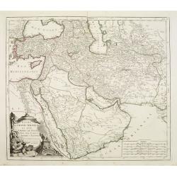
Etats du Grand-Seigneur en Asie, Empire de Perse, Pays des Usbecs, Arabie et Egypte.
Detailed map of the region bounded by the Black Sea, Georgia, the Caspian, Uzbekistan, The Indian Ocean, Saudi Arabia (here called "Arabie Heureuse"), Egypt and...
Place & Date: Venice, 1776 - 1784
Selling price: $400
Sold in 2008
Terrae Yemen Imperii Imami Principatus Kaukeban.
Important detailed copper engraved map of Yemen with details of South-West Arabia, prepared by C. Niebuhr and was published in "Atlas universel pour l'étude de la g...
Place & Date: Paris, Nyon, 1787
Selling price: $550
Sold in 2013
Mare Rubrum Sinus Arabicus Ad Observationes Maximam Partem ab Auctore Annis MDCCLXII et MDCCLXIII.
Important detailed copper engraved map of Arabian Gulf with details of The Red Sea, The Gulf of Arabia and Yemen prepared by C. Niebuhr and was published in "Atlas u...
Place & Date: Paris, Nyon, 1787
Selling price: $400
Sold in 2013
Sinus Persicus Maximam Partem ad Observationes Proprias a MDXXLXV.
Important detailed copper engraved map of the Persian Gulf with details of Persia and Arabia prepared by C. Niebuhr and was published in "Atlas universel pour l'ét...
Place & Date: Paris, Nyon, 1787
Selling price: $185
Sold in 2013
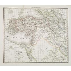
Turquie d'Asie . . .
Detailed map of Turkey, Armenia, Cyprus, part of Arabia and Israel and Syria, prepared by A. H. Basset, rue Saint-Jacques, no. 64, Paris and published in Atlas classique ...
Place & Date: Paris, A.H. Basset, 1828
Selling price: $100
Sold
