Browse Listings in Asia
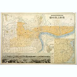
Plan of Shanghai.
A rare plan in Japanese of the Chinese super city of Shanghai, but with individual street names in English. The focus is on central Shanghai and the Bund, the key financi...
Place & Date: Shanghai, 1932
Selling price: $375
Sold in 2017
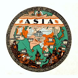
Chart of Knowledge.
This is a rare 1932 double-sided S. G. Bocholtz and Chart of Knowledge spinning wheel map of Asia and Europe. The map of the Asia depicts from Arabia to Japan and from th...
Place & Date: Boston, 1932
Selling price: $150
Sold in 2020
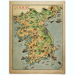
Korea.
Decorative color printed map of Korea in Manga style. From Nihon Manshu Panorama Chiri (Panoramic Geography of Japan and Manchuria) by Ryushiro Kato (map design and text)...
Place & Date: Dai Nihon Yubenkai Kodan Sha, Japan, 1933
Selling price: $100
Sold in 2017
Near East - Far East.
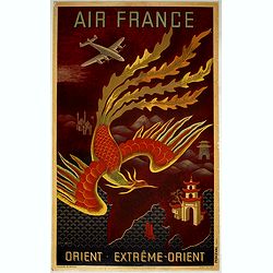
AIR FRANCE poster promoting the airline's routes to the far east in the immediate post-war period. This is the full size version of Lucien Boucher's "phoenix" d...
Place & Date: Imprimerie Perceval Paris, ca. 1933
Selling price: $1000
Sold in 2019
Plan of the Concessions Tientsin.
This plan was drawn for Crow's "Handbook for China" in 1933. It depicts a city map or plan of the foreign concessions in Tianjin (Tientsin), China. The map is b...
Place & Date: Hong Kong, Shanghai, Singapore, 1933
Selling price: $20
Sold in 2020
Map of Ceylon showing her Tea Industry.
A delightful little brochure highlighting the Ceylonese tea industry, issued by the Ceylon Tea Propaganda Board in the mid 1930s. It features a lovely map of the island o...
Place & Date: Ceylon, ca 1934
Selling price: $150
Sold in 2020
[Original Chinese advertising poster for Donggong Business School]
This poster, an advertisement from the 1930s for Donggong Business School depicts a pretty woman holding a beautiful fan and wearing jewelry. It shows the rise of Western...
Place & Date: Shanghai, 1934
Selling price: $130
Sold in 2020
Philippines Islands.
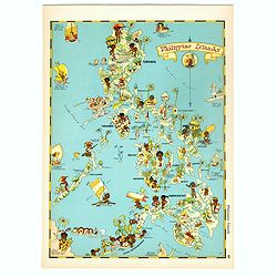
Pictorial map of Philippines Islands, from the famous illustrator, Ruth Taylor White and published in "Our USA: A Gay Geography".Ruth Taylor White was among the...
Place & Date: Boston, Little, Brown and Company, 1935
Selling price: $175
Sold in 2017
Philippines Islands.
Pictorial map of Philippines Islands, from the famous illustrator, Ruth Taylor White and published in "Our USA: A Gay Geography".Ruth Taylor White was among the...
Place & Date: Boston, Little, Brown and Company, 1935
Selling price: $250
Sold in 2018
Chousen Annai [Guide to Korea].
6-panel tourist brochure featuring a lovely full-color bird’s-eye view of the Korean peninsula supplemented by copious text in Japanese and Korean about the country. Th...
Place & Date: Tokyo, 1937
Selling price: $210
Sold in 2010
[Map of the Current Situation in East Asia].
Uncommon ephemeral map showing areas occupied by the Japanese, Chinese, and Soviet in the Far East at the outbreak of the Second World War. A tank-shaped insert provides ...
Place & Date: Osaka, 1937
Selling price: $1250
Sold in 2010
Grand Map of Eastern China and Manchukuo.
Spectacular scroll map of eastern China and the puppet state of Manchukuo. Published by the Tokyo Electric Company Limited (Tōkyō Denki Kabushiki Kaisha...
Place & Date: Tokyo, 1937
Selling price: $300
Sold in 2012
Hitome de wakaru Shina jihen to Nisso kankei echizu - Map of East Asia and Soviet, detailing the development of the Sino-Japanese Conflict
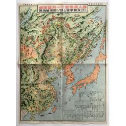
The main map includes numerous pictorial features of people in each country and region on the map. Names of major cities are given, and several charts, such as a chronolo...
Place & Date: Japan, 1937
Selling price: $265
Sold in 2016
Carte économique de l'Indochine.
Large and uncommon economic map of Indochina published in 1937 by the "Service Géographique de l'Indochine" and printed by the "Service Géographique Nati...
Place & Date: Hanoï, 1937
Selling price: $200
Sold in 2020
Carte Archeologique de la Region d'Angkor.
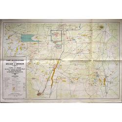
A detailed map of the region around Angkor Wat on a scale of 1:40,000, that includes a detailed key in the box at lower left corner. Includes the main ruins at Angkor Tho...
Place & Date: Anon, 1939
Selling price: $160
Sold in 2018
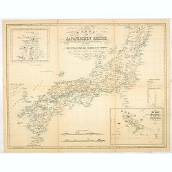
Karte vom japanischen Reiche, nach Originalkarten und astronomischen Beobachtungen der Japaner,die Inseln Kiusiu, Sikok und Nippon. / Philipp Franz von Siebold.
An early 20th-century reproduction of this important map of Japan was made in 1840 by German physician and traveler Philipp Franz Balthasar von Siebold. During his travel...
Place & Date: Tokyo, ca. 1940
Selling price: $550
Sold in 2014
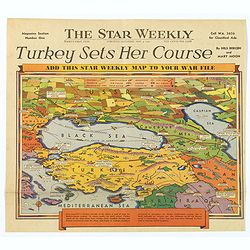
Turkey Sets Her Course / Behind Mediterranean Front.
Two unusual pictorial maps on World War II in Europe, from a Toronto based Canadian weekly newspaper. First map shows Turkey and her surrounding countries, with major tow...
Place & Date: Toronto, 1940
Selling price: $50
Sold in 2017
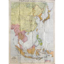
Daily Telegraph War Map of the Far East.
A very large folding map of South-East Asia from Russia until a tip of Australia. Shows transportation routes with distances, oil fields, Allied Naval Bases, and the terr...
Place & Date: London, ca. 1940
Selling price: $40
Sold in 2018
Imperial Defense Map.
Interesting piece of ephemera from a supplement in a Japanese boys' magazine published during World War II showing battle scenes and American & Japanese naval positio...
Place & Date: Japan, c. 1941
Selling price: $508
Sold in 2012
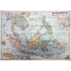
The Map of the East Indies.
A rare map of the East Indies issued by the Singapore branch of the World Book Company, one of China's major bookstores, and edited by Kying Wa Wang and Guan Ching Shy, a...
Place & Date: Singapore, 1941
Selling price: $145
Sold in 2018
Pilgrim's map of the Holy Land : for biblical research, the journey's and deed's of Jesus Christ.
Fine map of the Holy Land with extensive color keys, short legend and key list to the main towns of the region.The map was prepared by Th.F.Mathesy Ph.D. and according to...
Place & Date: Jerusalem, 1942
Selling price: $100
Sold in 2010
New Map of Singapore Island - Besieged by Japanese. Chicago Daily Tribune, Monday, February 9, 1942
color pictorial map designed by , single sheet from the Chicago Daily Tribune, "This is a new map of Singapore Island, now being besieged by the Japanese. North of t...
Place & Date: Chicago, 1942
Selling price: $575
Sold in 2019
Pilgrim's Map of the Holy Land. . .
A large and striking map of the Holy Land, published in Nazareth during the Second World War. The map shows from the Port of Sidon in the north, south to Gaza, mentioning...
Place & Date: Nazareth, 1942
Selling price: $75
Sold in 2020
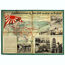
Le pavillon victorieux du Japon flotte au dessus du Pacifique (THE VICTORIOUS FLAG OF JAPAN FLIES OVER THE PACIFIC).
Cartographic propaganda World War II & the Japanese empire. A magnificent large-format propaganda broadside, or ‘wall newspaper’ made in December 1942, during Wor...
Place & Date: Spain, 1942
Selling price: $95
Sold in 2019
[Phuket - Harbour]
Scarce Japanese chart of Phuket prepared by Daisuke Soejima Daikin and probably the first detailed chart of the region made just after the capture of Thailand by the Japa...
Place & Date: Japan, August 1942
Selling price: $750
Sold in 2023
LAOS Région Nord.
Very decorative, informative map of the northern region of Laos. With a compass rose in upper left corner, the map is filled with buildings, animals, figures and two loca...
Place & Date: France, 1943
Selling price: $152
Sold in 2010
LAOS ANNAN Région Sud.
Very decorative, informative map of the region of Laos and Annan. The map is filled with buildings, animals, figures and two locals in their typical dress.In lower left c...
Place & Date: France, 1943
Selling price: $160
Sold in 2010
AAF Cloth chart Spassk-Dal'Niy. Eastern Asia 1:1,000,000 First edition.
Beautiful escape chart, printed on synthetic silk cloth. These extremely detailed aeronautical charts were issued to pilots during WWII to be worn as neck kerchiefs under...
Place & Date: 1943
Selling price: $50
Sold in 2012
Ryukyo-Retto Photo maps 1:10,000 Secret. First edition. (Six maps)
A group of six printed maps for the US army of photos made in September 1944 of Nakagami-gun (country) including Okinawa. Kin m (Sheet 3626-II m), Yonaburu b (sheet 3625-...
Place & Date: Washington, September 1944
Selling price: $5
Sold in 2014
Ryukyo-Retto Photo maps 1:10,000 Secret. First edition. (Six maps)
A group of six printed maps for the US army of photos made in September 1944 of Nakagami-gun (country) including Okinawa. Kin m (Sheet 3626-II m), Yonaburu b (sheet 3625-...
Place & Date: Washington, September 1944
Selling price: $50
Sold in 2012
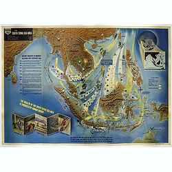
Nav War map No.2 The South China Sea Area.
An unusual and large colored lithograph Pictorial Map of the area around the South China Sea, distributed by the Educational Service Section, Bureau of Naval Personnel, N...
Place & Date: Washington, 1944
Selling price: $1500
Sold in 2017
[No title : Map centered on Philippines]
BONUS Map depicting a bird's-eye map centered on Philippines. Design by Ted Kautzky (1896-1953) (Enlargement of original map drawn for Life)."For report documenting ...
Place & Date: New York , Life Magazine, 1944
Selling price: $150
Sold in 2017
Honorable War Plants [in Japan]
Map depicting Japan and industrial war-plants. Design by Robert Macfarlane Chapin Jr.. In right hand side : Enlargement of original map drawn for TIME The Weekly News Mag...
Place & Date: New York , Time Magazine, 1944
Selling price: $375
Sold in 2017
[No title : Map of China with US air bases]
BONUS Map depicting China, Taiwan, part of Japan and Philippines in lower right corner. With a key to US air bases in China. Upper right : Enlargement of original map dra...
Place & Date: New York , Life Magazine, 1944
Selling price: $235
Sold in 2017
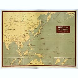
Pacific and the Far East.
A very large US Army and Naval map of The Pacific Ocean and the Far East, published during the second world war. Map covers the western Pacific, as far as Hawaii and the ...
Place & Date: [New York], 1944
Selling price: $1000
Sold in 2017
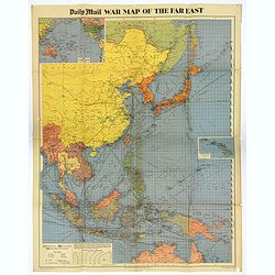
War Map of the Far East.
A large multi-colored poster of the War in the Far East, published by the Daily Mail Newspaper. Map extends from the northern tip of Australia in the south, northward up ...
Place & Date: London, 1944
Selling price: $80
Sold in 2018
[No title : War Map centered on Philippines]
BONUS Map depicting a bird's-eye map centered on Philippines. Design by Ted Kautzky (1896-1953) (Enlargement of original map drawn for Life)."For report documenting ...
Place & Date: New York , Life Magazine, 1944
Selling price: $160
Sold in 2018
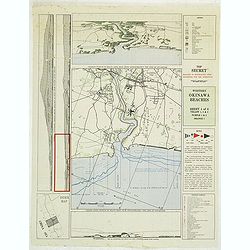
Western Okinawa Beaches Sheet 4 of 6. Top Secret reduced to restricted upon departure for the operation. (Lot contains 2 copies of the map.)
Top secret intelligy map of Western Okinawa Beaches prepared by Comphisgroup twelve and Phisspac Intelligence. With several inset maps and keys. On verso the Hourly heigh...
Place & Date: Washington, 1945
Selling price: $50
Sold in 2012
Plan of Shanghai - Sheet 1
An exceptionally fine and very detailed map of Shanghai, drawn up by the US Army in 1945 by the Geographical Section of the General Staff, War Office.Originally made in 1...
Place & Date: Washington, 1945
Selling price: $1150
Sold in 2017
Mapa de las yslas Philipinas Luzon . . .
Map of the Philippines. printed on a publication of YANK The army weekly, February 16, 1945. The map has an inset of Manila and vicinity, legend and a key to rail road a...
Place & Date: New York, 1945
Selling price: $255
Sold in 2017
Formosa. (304)
Nice color printed map of Formosa. With key in upper left corner. Published by The Serial Map Service, who was active from Letchworth and London. The company published on...
Place & Date: Letchworth, Herts, London, The Serial Map Service, 1945
Selling price: $100
Sold in 2020
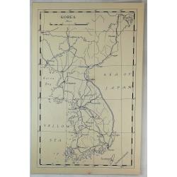
Korea.
A vintage manuscript map, a rare 'Printers Proof' (Unique). Published about 1945 in "The Geographical Journal" by the RGS. On very thick paper.
Place & Date: London, ca 1945
Selling price: $35
Sold in 2019
[ Pictorial map of the Philippine battlefield ]
Pictorial map of central Luzon showing the Japanese Philippine battlefield by HR BIENNETT. Showing a road system, with the land and waters filled with war scenes. In uppe...
Place & Date: Philippines ?, 1945
Selling price: $375
Sold in 2019
Indochine Française.
Poster in the form of a pictorial map showing Vietnam, Indochina in red on yellow, showing Hanoi, Pnom Penh. Designed by Lucien Boucher (1889–1971) for "l'associat...
Place & Date: Paris, Perceval, ca. 1945
Selling price: $2550
Sold in 2019
Philippines Islands.
Wall map sized map of the Philippines on "water proof map no 3 Philippines" according note on lower right corner. No date or publisher. In right corner a key to...
Place & Date: USA, ca. 1945
Selling price: $425
Sold in 2020
Mem-O-Map of the Philippine Islands.
Postwar map of the Philippines designed to help soldiers revisit their experiences.On board a ship returning home from the Pacific Theater, John Drury got together with o...
Place & Date: United-States, 1945
Selling price: $250
Sold in 2022
A new map of shanghai published by the Jihsin geographical institute.
Rare town plan of Shanghai published in China, printed in English and Chinese, with an inset of the surrounds of Shanghai and a legend.color printed map, overall size 470...
Place & Date: Shanghay, 1946
Selling price: $600
Sold in 2016
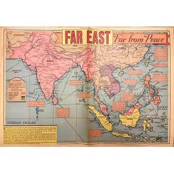
Far East Far from Peace.
A detailed map of the Far East drawn by Edwin L. Sundberg, celebrated staff artist of the Sunday News, from the January 26, 1946 issue. This rare piece of ephemera highli...
Place & Date: New York, 1946
Selling price: $250
Sold in 2018
“Hind darshan” (a view of Hind/ Hindustan)
Very rare chromolithographed propaganda poster in Gujarati script, likely published post partition and assassination of Gandhi but not too much after.The poster showing a...
Place & Date: ca. 1942-1946
Selling price: $1750
Sold in 2017
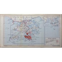
Hong Kong
A detailed interesting map in full original lithographic color. The map shows Hong Kong (In red) with Lantau Island and the tip of China an inset map shows Hong Kong’s ...
Place & Date: London, 1948
Selling price: $80
Sold in 2016
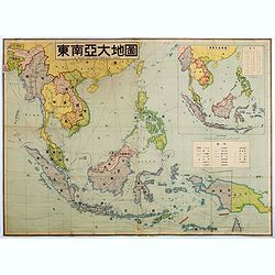
A map of southeast Asia.
Large color-printed map of South East Asia and centered on Philippines and Singapore. With inset map in the upper right corner. Showing railroad systems, maritime steambo...
Place & Date: China, ca. 1948
Selling price: $1150
Sold in 2016
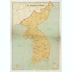
The Republic of Korea.
A large, folding map of The Republic of Korea, published before the country split into two (1950) with the "Democratic People's Republic of Korea" (North Korea)...
Place & Date: Seoul, ca 1948
Selling price: $525
Sold in 2020
L'Union Française - Les Etats Associés d'Indochine.
Original chromo lithographed poster showing Laos, Vietnam, Cambodia and Indochina, published ca. 1948 for "Les Etats Associés d'Indochine Affaire ".Pictorial p...
Place & Date: Paris, 1948
Selling price: $3680
Sold in 2020
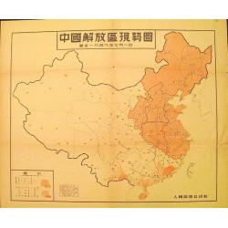
Map of the Liberated Regions in China.
Fine sample of a map with a political character. Rare map depicting areas held by the Communists during the Chinese Revolution up to 1st July, 1949.More about cartographi...
Place & Date: Beijing, 1949
Selling price: $120
Sold in 2012
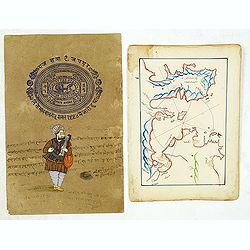
Manuscript map of Aegean Sea centered on Izmir.
Manuscript map of Aegean Sea centered on Izmir. The map possibly made arround 1950. Decorative. Together with a recent drawing of a Indian musician on a brownish paper wi...
Place & Date: Turkey, 1780/1950
Selling price: $35
Sold in 2014
Kyoto and Vicinity with Shopping District.
An attractive colored plan of the Japanese city of Kyoto, with smaller insets of a plan of Maruyama Park, a map of Kyoto and Vicinity, and a plan of Momoyama. Complete wi...
Place & Date: Kyoto, ca. 1950
Selling price: $40
Sold in 2018
Mount Abu - Visit India.
Lithographed poster showing Mount Abu and Nakki Lake, a touristic hill station in western India’s Rajasthan state, near the Gujarat border. Nakki Lake is a popular spot...
Place & Date: India, Madras, ca. 1950
Selling price: $500
Sold in 2019
Ville Saigon edité par Havas Extréme Orient.
Decorative publicity plan of Ho Chi Minh City, also known by its former name of Saigon, Vietnam, surrounded by advertisements of local stores. In the center the "Jar...
Place & Date: Paris, 1950
Selling price: $1200
Sold in 2019
Guerre d'Indochine le Tonkin.
Pictorial map of Tonkin drawn by R. Forgues. on the verso information's about Indochina.More about Pictorial Maps [+]
Place & Date: France, ca. 1950
Selling price: $120
Sold in 2020
Carte Archeologique D'Angkor.
colorful tourist map centered on Angkor Vat, including its surroundings.
Place & Date: ca. 1950
Selling price: $120
Sold in 2020
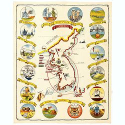
(Map of Korea) 1950 Portsmouth 1952 H.M. Ceylon.
A fine folding pamphlet produced for the H.M.S. Ceylon, a British Navy Ship, taking part in the "Operation War Dance, when patrolling Korea in 1952 during the Korean...
Place & Date: Hong Kong, The local printing press, Ltd., 1952
Selling price: $250
Sold in 2014
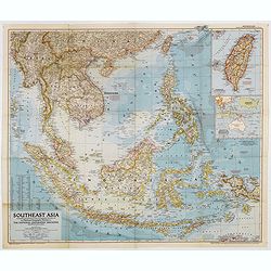
Southeast Asia Compiled and Drawn in the Cartographic Section of the National Geographic Society for the National Geographic Magazin Gilbert Grosvenor. . .
Map of the Southeast Asia, with inset map of Taiwan an map with Australia. The first issue of National Geographic Magazine was published on September 22, 1888, nine month...
Place & Date: Washington, 1952
Selling price: $50
Sold in 2018
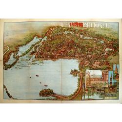
Beijing Yiheyuan Wanshoushan Niaokan.
Rare bird's-eye view of the Summer Palace in Beijing overlooking Lake Kunming and Longevity Hill by guohua painter, Tao Yiqing, who is well known for sketching scenery al...
Place & Date: Beijing, 1954
Selling price: $65
Sold in 2009
Nepal physical.
Wall map of Nepal drawn by Modgill & Co. of Delhi and published by the Nepal Trading Corporation. The map was printed at the Commercial Offset Press of New Delhi.With...
Place & Date: New Delhi, c. 1955
Selling price: $500
Sold in 2020
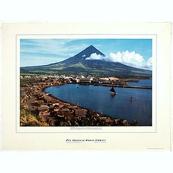
Philippines - The famous volcanic peak Mt. Mayon. . .
Mt Mayon Volcano Peak near Legaspi on the Philippines. Fine Pan American Airline mini poster.Pan American World Airways, originally founded as Pan American Airways and co...
Place & Date: 1956
Selling price: $150
Sold in 2023
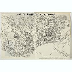
Traveller's guide to Singapore 1958 - The world in miniature.
Decorative travel guide with two folding maps, one colored map of South East Asia (250 x 325mm.) and another of Singapore (280 x 420mm.). Decorative wrapper and filled wi...
Place & Date: Singaopore, 1958
Selling price: $210
Sold in 2017
Abords du Chatt El Arab - Khor Musa- Port de Koweit . . .
Large chart representing Kuwait and its harbour. A couple of places are highlighted in red. With past-on of an updated part in Kuwait harbour for 1958.Kuwait is situated ...
Place & Date: Paris, 1952-1955-1958
Selling price: $400
Sold in 2020
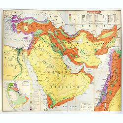
Moyen-Orient essai de carte économique.
Map of the economic resources of the Middle East. It was published, in 1958, by France's Direction Générale du Gouvernement, Direction de la Documentation. (Neither num...
Place & Date: [Paris, Direction de la documentation, 1958
Selling price: $600
Sold in 2019
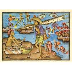
Balinees watercolor on paper, fishermen.
Decorative export painting from Bali of a more than average quality.
Place & Date: Bali, ca 1960
Selling price: $150
Sold in 2014
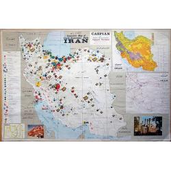
Economic map of Iran.
Very unique pictorial Economic map of Iran partially with Persian writing! Includes the entire country with the Persian Gulf and the Caspian Sea. Very detailed showing t...
Place & Date: Teheran, c1960
Selling price: $160
Sold in 2012
Manila and bay area
An unusual tourist leaflet with a large map of Manila, printed around 1960. Gives information about many locations, hotels, banks, government offices, clubs, churches, em...
Place & Date: Manila, ca. 1960
Selling price: $100
Sold in 2022
Isfahan and Shehreza Shehrekurd Faridan Nadjaf Abad Nain_Khonsar Bakhtiyari summer and winter quarters and part of Khouzestan Golpayegan Kashan in detail.
A very unusual large scale map of Isfahan, partially with Persian writing! Published by the Sahab Geographical & Drafting Institute, Teheran, probably between 1960 an...
Place & Date: Teheran, c1965
Selling price: $150
Sold in 2014
The Kingdom of Bhutan.
Unusual wall map sized map of Bhutan, prepared by Pradyumna P. Karan and published by the University of Kentucky. The map is showing international boundaries, transportat...
Place & Date: Kentucky, 1965
Selling price: $525
Sold in 2016
Bangkok Map in the 5th Asian Games year 1966.
A rare early map (460 x 370mm.) for the Siamese capital, shows the roads in red, railroads in blue and waterways, as well as points of interest. An exhaustive key notes t...
Place & Date: Bangkok, 1966
Selling price: $225
Sold in 2018
Israel
Decorative poster advertising flights to Israel made by Georges Mathieu. The poster is one of a series of 15 composed of posters of Greece, Israel, Germany, Great Britain...
Place & Date: Paris, 1967
Selling price: $150
Sold in 2023
Hong Kong.
Decorative poster advertising flights to Hong Kong made by Georges Mathieu. The poster is published outside his series of 15 composed of posters of Greece, Israel, German...
Place & Date: Paris, 1967
Selling price: $850
Sold in 2021
Carte générale du Laos.
General map of Laos published in 1968 by the "Service Géographique National du Laos", showing international and province boundaries, transportation, water feat...
Place & Date: [Vientiane] , 1968
Selling price: $250
Sold in 2020
Tourist's map of Taiwan fuel station products scenic spots.
color pictorial tourist's map of Taiwan, in Chinese and English. Shows administrative divisions, cities, towns, capitals, gas stations, agricultural Products, industry, t...
Place & Date: Minguo calendar 58 - 1969
Selling price: $110
Sold in 2019
Schematic Map of Chinese Railway Routes.
A very interesting map of Chinese rail lines extending to the northernmost region of Heilongjiang and to Hainan Island in the south. Rail lines indicate the way to Urumqi...
Place & Date: Shaanxi, 1974
Selling price: $190
Sold in 2021
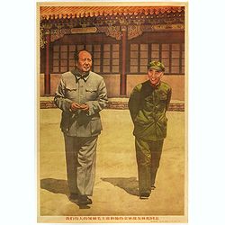
(Mao. Title in Chinese : Our great leader Chairman Mao and his close comrade Lin Biao.)
Mao zhu xi Chinese communism propaganda poster showing Mao Zedong[a] (1893 – 1976), commonly known as Chairman Mao.Published by Xinhua News agency, which was founded in...
Place & Date: Beijing, 1976
Selling price: $40
Sold in 2018


![[Original Chinese advertising poster for Donggong Business School]](/uploads/cache/45081-250x250.jpg)

![Chousen Annai [Guide to Korea].](/uploads/cache/99672-250x250.jpg)
![[Map of the Current Situation in East Asia].](/uploads/cache/99679-250x250.jpg)





![[Phuket - Harbour]](/uploads/cache/48535-250x250.jpg)


![[No title : Map centered on Philippines]](/uploads/cache/39796-250x250.jpg)
![Honorable War Plants [in Japan]](/uploads/cache/39798-250x250.jpg)
![[No title : Map of China with US air bases]](/uploads/cache/39806-250x250.jpg)
![[No title : War Map centered on Philippines]](/uploads/cache/40088-250x250.jpg)


![[ Pictorial map of the Philippine battlefield ]](/uploads/cache/43612-250x250.jpg)


