Browse Listings in Asia
MUZJIKINSTRUMENTEN. MUSIKINSTRUMENTE. Tab.V.
Several Japanese instruments.Philipp Franz von Siebold (1796-1866) was a physician, researcher and teacher who joined the Dutch East Indian army and travelled to Japan on...
Place & Date: Leiden, 1852
Selling price: $200
Sold in 2021
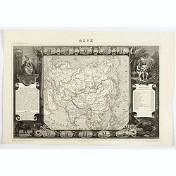
Asie.
A decorative map of Asia framed by glorious vignettes depicting costumes of the various peoples of Asia Adam and Eve, and several exotic animals. With an interesting popu...
Place & Date: Paris, 1852
Selling price: $52
Sold in 2019
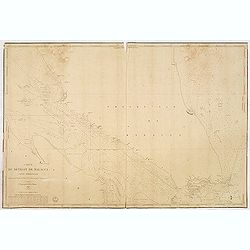
Carte du détroit de Malacca. Partie Septentrionale comprenant depuis Poulo Penang jusqu'au Mont Parcelar. . .
Detailed chart depicting the strait of Malacca and the north west coast of Malaysia, from the island Pulau Pinang to Pelabuhan Klang west of Kuala Lumpur.With inset chart...
Place & Date: Paris, 1843 updated to 1853
Selling price: $1050
Sold in 2013
Carte du détroit de Malacca. Partie Méridionale comprenant depuis le Mont Parcelar jusqu'à Singapoure.
Detailed chart depicting the strait of Malacca and the southern tip of Malaysia, including the island Singapore.The chart was actually used and has some lead pencil annot...
Place & Date: Paris, 1843 updated to 1853
Selling price: $525
Sold in 2013
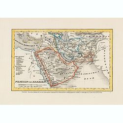
Persien und Arabien.
Detailed steel engraved miniature map of the Arabia Pen insular and Persia. The map was prepared and engraved by Lieutenant L. Renner., who was a military officer, recrui...
Place & Date: Hildburghausen / Amsterdam / Philadelphia, 1853
Selling price: $30
Sold in 2014
India.
Large detailed map of India by Sidney Hall published by A. &. C. Black in Edinburgh Steel engraving with original color Relief shown by hachures. States shown by tint...
Place & Date: Edinburgh, 1854
Selling price: $50
Sold in 2014
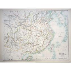
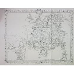
China
A highly detailed and attractive map of China drawn and engraved by William Hughes – Sidney Hall, steel engraved.Published by Adam & Charles Black in the ‘General...
Place & Date: Edinburgh, 1854
Selling price: $85
Sold in 2016
China.
A lovely, large map of China, with insets the Island of Chusan, and the Estuary of the Canto River from Hong Kong to Canton. Korean peninsula shown. Good detail and excel...
Place & Date: Edinburgh, 1854
Selling price: $95
Sold in 2018
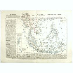
Malesia ossia Arcipelago Indiano, ed India-Transgangetica.
Attractive map of the Southeast Asia with inset map: Arcipelago di Andaman, Arcipelago di Nicobar. A wealth of information listing his cartographic sources and giving pol...
Place & Date: Naples, 1848-1854
Selling price: $250
Sold in 2017
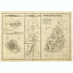
A New chart of Island of France or MAURITIUS by J.N. Norie, 1832. The island of Bourbon, called also Mascarenthas.
Five charts on one sheet, including " A New chart of Island of France or MAURITIUS", "The island of Bourbon, called also Mascarenthas", "Plan of ...
Place & Date: London, 1854
Selling price: $1000
Sold in 2018
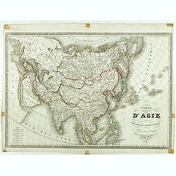
Carte d'Asie dressée par Pierre Tardieu . . .
Large map of Asia published by Édouard-Auguste-Patrice Hocquart (1789-1870?)He succeeded the print dealer Basset at rue Saint-Jacques before 1836. Engraver, he invents i...
Place & Date: Paris, Hocquart, 1854
Selling price: $270
Sold in 2024
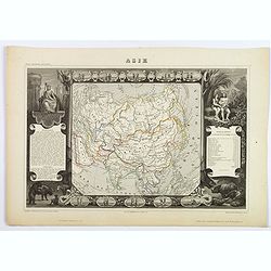
Asie.
A decorative 19th-century map of the continent. The map is surrounded by numerous steel engraved vignettes, all depicting costumes of the various peoples of Asia, Adam an...
Place & Date: Paris, 1854
Selling price: $60
Sold in 2021
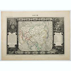
Asie
A decorative 19th century map of the continent. The map is surrounded by steel engraved vignettes depicting costumes of the various peoples of Asia, Adam and Eve, and sev...
Place & Date: Paris, 1854
Selling price: $60
Sold in 2020
Map of the Punjab: western Himalaya and adjoining parts of Tibet from recent Surveys, and based upon the Trigonometrical survey of India, . . .
Rare separately published map of the Western Himalayas, Tibet and part of Punjab, published as part of the Great Trigonometrical Survey of India. The map was issued by th...
Place & Date: London, W.H. Allen & Co., 1854
Selling price: $650
Sold in 2021
Jerusalem.
Very rare bird's eye view of the Holy City of Jerusalem. Engraved in stone by C.Bruder.The town plan is very detailed and has 159 numbers referring to the most important ...
Place & Date: Germany, c. 1855
Selling price: $330
Sold
CHINA and BIRMAH
This is the uncommon and slightly later edition by Rapkin based on Tallis' maps. The vignettes have been removed and the map is issued in black and white.A rare and desir...
Place & Date: London, 1855
Selling price: $60
Sold
Persia and Arabia. / India and Malaysia.
Map of India and Malaysia. On the verso a map of Persia and Arabia (110x140mm.) . From Sidney E. Morse''s: System of Geography for the use of schools , published by Harpe...
Place & Date: New York, 1855
Selling price: $10
Sold in 2011
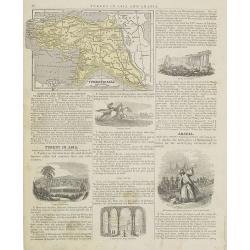
Turkey in Asia.
Map of Turkey. From Sidney E. Morse''s: System of Geography for the use of schools , published by Harper and brothers, 329 Pearl Street, New York.An 150 years old map wit...
Place & Date: New York, 1855
Selling price: $10
Sold in 2009
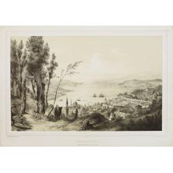
Constantinople - Vue prise de la tour du Séraskir.
Lithography on tinted grounds, with a panoramic view of the Bosphorus, with on foreground Istanbul. Printed by Wild, after a design of Bouquet and drawn on stone by Champ...
Place & Date: Paris, ca 1855
Selling price: $400
Sold in 2013
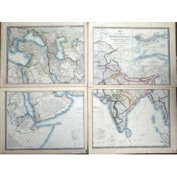
Map of the Countries lying between Turkey & Birmah, comprising Asia Minor, Persia, India, Egypt & Arabia, and including the Black, Caspian & Red seas by James Wyld, Geographer to the Queen, Charing Cross East. Model of the Earth, Leicester Square, London.
Map of the Countries lying between Turkey & Birmah, comprising Asia Minor, Persia, India, Egypt & Arabia, and including the Black, Caspian & Red seas by James...
Place & Date: London, 1855
Selling price: $375
Sold in 2013
China and Birmah.
Very detailed and up-to-date map, from the Bay of Bengal to Formosa (Taiwan). Includes also a part of Luzon. Filled with place names! This is the uncommon and slightly l...
Place & Date: London, ca. 1855
Selling price: $26
Sold in 2013
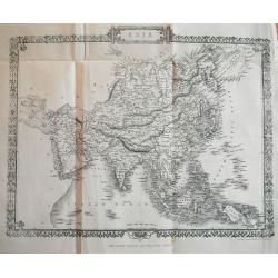
Asia.
Very detailed and up-to-date map, reaching from the Ural mountains until New Guinea. Locating tribes, mountains, rivers, cities,... This is the uncommon and slightly lat...
Place & Date: London, c1855
Selling price: $27
Sold in 2013
Asia Minor.
Very detailed and up-to-date map of Turkey including Cyprus. With numerous place names, roads connecting the towns, rivers, mountains, and regions. This is the uncommon ...
Place & Date: London, c1855
Selling price: $15
Sold in 2013
Chart of the Coast of China and of the Japan Islands including the Marianes and a Part of the Philippines.
Commodore Perry’s Sailing Directions for China and Japan with large map of Asian waters including the Mariana Islands and a part of the Philippines. Compiled by order o...
Place & Date: Washington, 1855
Selling price: $120
Sold in 2015
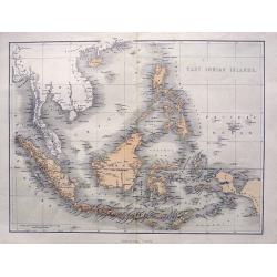
East Indian Islands.
Superb map of Indonesia, filled with many place names. Shows the area from Birma and Thailand to Papua New Guinea, including the Philippines, Singapore, Malaysia, Borneo,...
Place & Date: London, ca. 1855
Selling price: $58
Sold in 2015
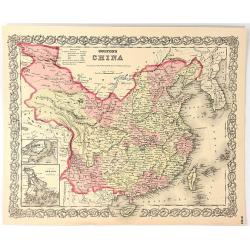
Colton's China
A map of China, Korea, Taiwan, Hong Kong and Macao. Surrounded by Colton's typical spiral motif border. From Colton's "ALAS OF THE WORLD".Joseph Hutchins Colton...
Place & Date: New York, 1855
Selling price: $42
Sold in 2016
Cyprus Insula ad Stadiasmum Maris Magni S. 297-317
Delicate map of ancient Crete according to the "Stadiasmus Maris Magni", prepared by Karl Wilhelm Ludwig Muller (1813-1894) and published in "Geographi Gra...
Place & Date: Paris, Ambrosio Firmin Didot, 1855
Selling price: $25
Sold in 2017
Sinus Arabici pars borealis secundum Agatharchidem, Artimidorum, Plinium, Ptolemaeum. (Northern part of the Red Red Sea)
Seven maps on one sheet showing the Northern part of the Red Sea according to the "Stadiasmus Maris Magni", prepared by Karl Wilhelm Ludwig Muller (1813-1894) a...
Place & Date: Paris, Ambrosio Firmin Didot, 1855
Selling price: $20
Sold in 2020
Sinus Arabici pars meridionalis secundum Agatharchidem, Artimidorum, Plinium, Ptolemaeum. (Southern part of the Red Red Sea)
Eight maps on one sheet showing the Southern part of the Red Sea according to the "Stadiasmus Maris Magni", prepared by Karl Wilhelm Ludwig Muller (1813-1894) a...
Place & Date: Paris, Ambrosio Firmin Didot, 1855
Selling price: $35
Sold in 2020
Sinus Arabici pars media secundum Agatharchidem, Artimidorum, Plinium, Ptolemaeum. (Center part of the Red Red Sea)
Nine maps on one sheet showing the center part of the Red Sea according to the "Stadiasmus Maris Magni", and prepared by Karl Wilhelm Ludwig Muller (1813-1894) ...
Place & Date: Paris, Ambrosio Firmin Didot, 1855
Selling price: $35
Sold in 2020
Ora regionis aromatiferae a ras gulvainy adbasHafoun. / Libye oraorientalissecundum Periplum maris Erythraei. (The United Arab Emirates)
Four maps on one sheet. The right hand map showing The United Arab Emirates, the other maps the larger region including Oman. These ancient maps are according to the &quo...
Place & Date: Paris, Ambrosio Firmin Didot, 1855
Selling price: $60
Sold in 2020
Arabiae Ora australis secundum Periplum maris Erythraei. (Oman)
Three maps on one sheet. The larger map showing Oman, the other maps the larger region including Oman. These ancient maps are according to the "Stadiasmus Maris Magn...
Place & Date: Paris, Ambrosio Firmin Didot, 1855
Selling price: $50
Sold in 2020
Dachinabadae ora Maritima secundum anonymi periplum maris erythrei. (India)
Two ancient maps on one sheet showing India, prepared by Karl Wilhelm Ludwig Muller (1813-1894) and published in "Geographi Graeci Minores". Muller wrote in Lat...
Place & Date: Paris, Ambrosio Firmin Didot, 1855
Selling price: $20
Sold in 2017
Nearchi Navigatio ab indo ad Euphratem secundum arriani historiam Indicum. . .
Three maps showing the coastline of Iran and Pakistan according to the "Stadiasmus Maris Magni", and prepared by Karl Wilhelm Ludwig Muller (1813-1894) and publ...
Place & Date: Paris, Ambrosio Firmin Didot, 1855
Selling price: $25
Sold in 2019
Anonymi auctoris periplus Maris Erythraei.
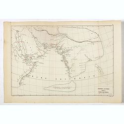
Delicate map showing the Indian Ocean during ancient times according to the "Stadiasmus Maris Magni", and prepared by Karl Wilhelm Ludwig Muller (1813-1894) and...
Place & Date: Paris, Ambrosio Firmin Didot, 1855
Selling price: $25
Sold in 2017
Map of the Japan Islands. . .complied by order of Commodore M.C. Perry, USN.
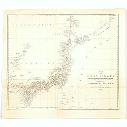
A map of Japan by Maury and Bent under the orders of Commodore Perry, 1855. Very good detail of the many islands with cities marked and with decent topographical informat...
Place & Date: New York, 1855
Selling price: $86
Sold in 2020
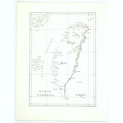
The island of Formosa.
This is the first American lithograph of Taiwan. Published by Ackerman. More about Taiwan or Ilha-Formosa maps. [+]
Place & Date: New York, 1856
Selling price: $200
Sold in 2016
Colton's Asia.
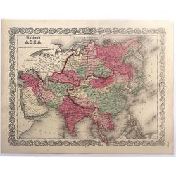
Colton's map of Asia. The map covers the entire continent from the Mediterranean to Siberia and from the Arctic to Singapore. Tibet, Korea and Ladak within the borders o...
Place & Date: New York, 1856
Selling price: $65
Sold in 2017
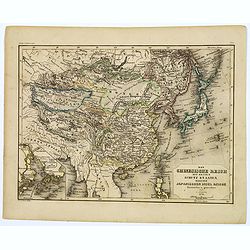
Das Chinesische Reich mit seinen Schutz Staaten...Japanischen Insel Reiche.
A map of the Chinese and Japanese Empires published during the middle of the nineteenth century by Grassl, a German cartographer and engraver, who part worked in collabor...
Place & Date: Hildburghausen, 1856
Selling price: $50
Sold in 2017
The Aral Sea according to Khanikoff. . .
An interesting map of the former Aral Sea between Kazakhstan and Uzbekistan has dried up since 2014. Published in the very influential Petermanns geographische Mitteilung...
Place & Date: London, ca. 1856
Selling price: $10
Sold in 2018
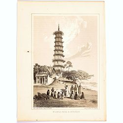
Whampoa Pagoda & Anchorage.
A lithographic illustration from the Narrative of The Expedition of an American Squadron to the China Seas and Japan, Performed in the Years 1852, 1853 and 1854, under th...
Place & Date: New York, 1856
Selling price: $15
Sold in 2020
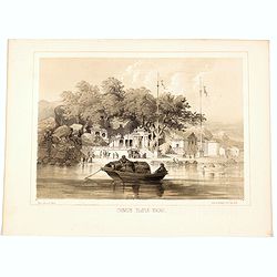
Jesuit Convent in Macao.
In the August of 1853, Commodore Perry departed Lew Chew for China. His first stop was in Macao, where he took a house for an extended stay. This lithograph is a view of ...
Place & Date: New York, 1856
Selling price: $27
Sold in 2020
Chinese Temple, Macao.
A pleasant view of the important Chinese Temple in Macao.
Place & Date: Philadelphia, 1856
Selling price: $15
Sold in 2020
The island of Formosa.
A small, but historically important map of Taiwan (the first American lithograph of Taiwan) made by the American Commodore Matthew C. Perry and published by Ackerman. The...
Place & Date: New York, 1856
Selling price: $85
Sold in 2021
Die Asiatische Türkey 1854.
A superbly steel-engraved map from the rare German Atlas: Meyer's Zeitungs-Atlas, considered to be the finest German Atlas of the mid 19th century! Revised edition for th...
Place & Date: Hildburghausen, 1857
Selling price: $20
Sold
Panoramic map of China. Published with No.16, new series of Cassell's illustrated family paper.
Uncommon map of China and Taiwan with relief shown pictorially. Published with No. 16, new series, of Cassell's illustrated family paper. In an inset lower left "Use...
Place & Date: London, John Cassel, March 20,1857
Selling price: $500
Sold in 2009
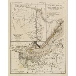
Der Uluss (Chant) Shigansk. Nach Chitrov. - Gez. von A. Petermann - Karte eines Theils von Trans-Baikalien nach den neuesten Russischen Quellen. Gez. von A. Petermann.
Detailed map centered on the Baikal Sea in Siberia, Russia. With inset map of the Lena River. From "Petermann's Geographische Mittheilungen".Lithographed by C.H...
Place & Date: Justus Pertus, Gotha, 1857
Selling price: $50
Sold in 2010
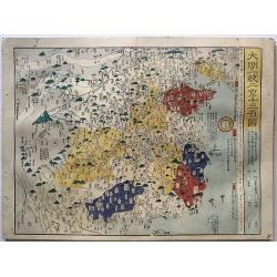
[untitled map of Japan]
Superb 19th century woodblock printed map of Japan. Ansei 4 = 1857. Edo period. Also with parts of Korea (Chosen) and Hokkaido (Ezo). Shows the entire island, with much d...
Place & Date: Japan, c1857
Selling price: $900
Sold in 2011
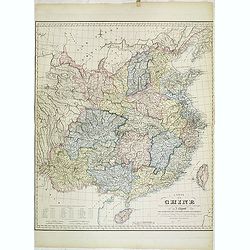
Carte de la Chine dressée d'après les matériaux Chinois les plus authentiques par J. Klaproth avec l'indication des cinq ports ouverts aux Européens. . .
Detailed map of China east of Tibet and including the islands of Tonkin and Taiwan. According to the title the map indicated the five ports open to the European traders a...
Place & Date: Paris, Benjamin Dupart, 1857
Selling price: $1200
Sold
Carte de la presque'ile de L'Indo-Chine. . . jusqu'à l'entrée de la Rivière de Bang-Kok dans le Golfe de Siam. . .
Large chart of the southern tip of Cambodia, including the region of present-day Ho Chi Mihn City, etc. Engraved by Louis A. Sengteller.Two light houses colored in red an...
Place & Date: Paris, 1857
Selling price: $190
Sold in 2012
Historical atlas of China throughout the successive dynasties Or Sina rekidai enkaku zu.
A beautiful woodblock atlas of China. Maps were originally made by the great Japanese cartographer, Nagakubo Sekisui, with this edition published by Ninomiya. There are...
Place & Date: Osaka,1857
Selling price: $2900
Sold in 2017
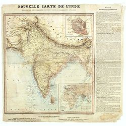
Nouvelle carte de l'Inde pour suivre les opérations militaires dans les possessions anglaises .
Very detailed map of India, printed on very thin paper. With inset plan of Delhi. In dedicate original hand colors. In lower right inset map of the Western Hemisphere, &q...
Place & Date: Paris, ca. 1857
Selling price: $100
Sold in 2021
Chart showing the track of the Flagships of the US-Japan Expedition to the eastward of the Cape of Good Hope 1853 & 1854.
A simple sea chart showing the track of the US Steam Frigate Mississippi.
Place & Date: New York, 1857
Selling price: $9
Sold in 2020
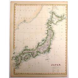
Japan.
The Empire of Japan with part of the continent of Asia and the New Boundary between the Russian and Chinese borders. From the Weekly Dispatch Atlas.
Place & Date: London, 1858
Selling price: $75
Sold in 2013
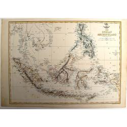
The Indian Archipelago.
A detailed map of the Indian Archipelago including The Philippines, Sumatra, Java and most of Papua & New Guinea. Has a small cartouche "The Dispatch Atlas"...
Place & Date: London, 1858
Selling price: $100
Sold in 2013
India shewing the post roads and dawk stationsby James Wyld, geographer to the Queen and H.R.H. Prince Albert.
Decorative post road map also showing railways. A color key is showing British possessions, subsidiary states, and protected and independent areas. Scale [ca. 1:4,400,000...
Place & Date: London, ca. 1858
Selling price: $525
Sold in 2016
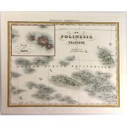
La Polinesia Francese.
A pleasant map featuring the Polynesian Islands, with an insert of Tahiti (Carta di Taiti). It is from the atlas "Geografia Commerciale", engraved by G. Bonatti...
Place & Date: Torino, 1858
Selling price: $21
Sold in 2016
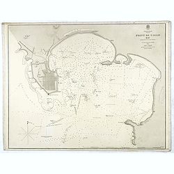
Indian Ocean Ceylon - Point de Galle Bay.
Showing the bay of Galle, surveyed by Mr TH Twynham Master Attendent at Pt de Galle. Also with surveys by Sir. Edward Belcher, and Alexander Dalrymple, first hydrographer...
Place & Date: London, 1858
Selling price: $130
Sold
Sick and wounded embarking at Hong-Kong on Board the Steamer.
Large view of the harbour with numerous ships and people. From the Illustrated London News, October 23, 1858.
Place & Date: London, 1858
Selling price: $15
Sold in 2016
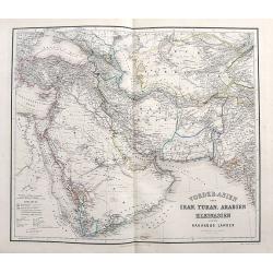
Vorder-Asien oder Iran, Turan, Arabien, Kleinasien und die Kaukasus Länder.
A great map filled with details including travel routes, and interesting borders and names. Centered on Iran it shows the area from Turkey to Mumbai in India. Includes Ar...
Place & Date: Weimar, 1858
Selling price: $21
Sold in 2017
Vorder Indien.
An excellent map of India with nice coloring indicating colonial occupations. With two insets of upper Assam, and Ceylon.
Place & Date: Weimar, 1858
Selling price: $14
Sold in 2017
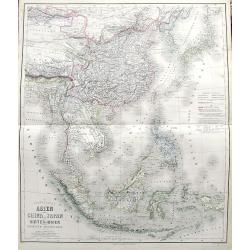
Das südöstliche Asien oder China, Japan, und Hinter-Indien mit dem Indischen Archipelagus.
Superb map from Mongolia until Timor. Includes Korea, Japan, China, the Philippines, Thailand, Singapore, Indonesia, etc. Richly detailed filled with place names. The col...
Place & Date: Weimar, 1858
Selling price: $130
Sold in 2017
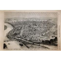
The City of Delhi Before the Siege.
The City of Delhi Before the Siege. An interesting woodblock print of Delhi, published January 16th 1858, in the Illustrated London News.This large bird's eye view of Del...
Place & Date: London, 1858
Selling price: $85
Sold in 2017
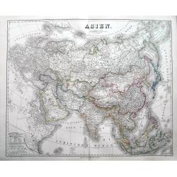
Asien.
An impressively sized map of Asia. With lots of detail and many place names. The coloring indicates the colonial powers of the time.
Place & Date: Weimar, 1858
Selling price: $32
Sold in 2018
La Corea La Manciuria L' Impero del Giappone e le Isole Kurille.
Uncommon map of Korea, Japan and part of China, prepared by Francesco Costantino Marmocchi. Above the map "Geografia Commerciale". From "Il Globo Atlante d...
Place & Date: Genova, Paolo Rivara fu Giacomo, 1858
Selling price: $15
Sold in 2022
L'Arabia il Golfo Persico ed il Mar Rosco.
Uncommon map of Arabia prepared by Francesco Costantino Marmocchi. Above the map "Geografia Commerciale". From "Il Globo Atlante di carte Geografiche compi...
Place & Date: Genova, Paolo Rivara fu Giacomo, 1858
Selling price: $55
Sold in 2020
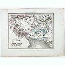
L'Iran che comprende La Persia l'Afghanistan ed Il Beluscistan.
Uncommon map of Greater Iran, showing the regions of the Caucasus, West Asia, Central Asia, and South Asia, prepared by Francesco Costantino Marmocchi. Above the map &quo...
Place & Date: Genova, Paolo Rivara fu Giacomo, 1858
Selling price: $50
Sold in 2022
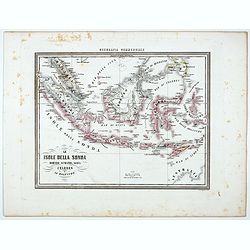
Le Isole della sonda Borneo, Sumatra, Giava Celebes e Le Molucche.
Uncommon map of Southeast Asia including Singapore, much of Indonesia, Bali, Timor, Borneo, the island of Mindanao in the Philippines, and the northern coast of Australia...
Place & Date: Genova, Paolo Rivara fu Giacomo, 1858
Selling price: $50
Sold in 2021
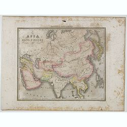
Asia Mappa d'Insieme.
Uncommon map of Asia prepared by Francesco Costantino Marmocchi. Above the map "Geografia Commerciale". From "Il Globo Atlante di carte Geografiche compila...
Place & Date: Genova, Paolo Rivara fu Giacomo, 1858
Selling price: $15
Sold in 2020
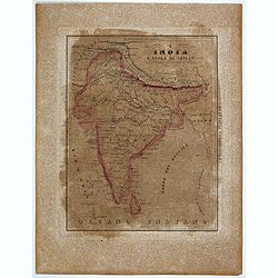
L'India e L'Isola di Seilan.
Uncommon map of India prepared by Francesco Costantino Marmocchi. Above the map "Geografia Commerciale". From "Il Globo Atlante di carte Geografiche compil...
Place & Date: Genova, Paolo Rivara fu Giacomo, 1858
Selling price: $15
Sold in 2020
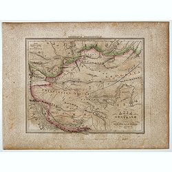
Asia Centrale ( Tibet, Thian-Scian-Nan-Lu, Mongolia, Gran Deserto, &)
Uncommon map of Tibet prepared by Francesco Costantino Marmocchi. Above the map "Geografia Commerciale". From "Il Globo Atlante di carte Geografiche compil...
Place & Date: Genova, Paolo Rivara fu Giacomo, 1858
Selling price: $15
Sold in 2020
Coast of Syera Lykanderin Latakiah & marshal. 1858
Map showing the Gulf of İskenderun, at the foot of the Nur Mountains (Amanos Mountains).. The town of İskenderun in lower right. The map is dated 1858 ...
Place & Date: ca. 1858
Selling price: $300
Sold in 2020
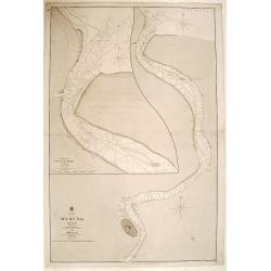
China, Wusung River surveyed by comander John Ward..
Very detailed chart of the Wusung River north of Shanghai. With inset plan of the entrance of the river Wusung. Shanghai is devided in "Walled City" with around...
Place & Date: London 1859
Selling price: $435
Sold
China sea - Philippine Islands. Eastern part of the Sulu..
Very detailed chart of the eastern part of the Sulu or Mindoro Sea. The main source are earlier Spanish charts, but with corrections by partial surveys of Sir Edward Belc...
Place & Date: London 1859
Selling price: $100
Sold
St Bernardino Strait and Parts Adjacent.
Philippines chart, with Manilla Bay in upper left corner. Published by the Hydrographic Office of the Admiralty in London. Sold by J. Potter, London, who was the agent fo...
Place & Date: London, 1859
Selling price: $1000
Sold in 2017
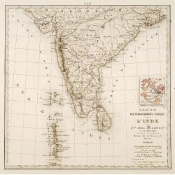
Carte des établissements .. L'Inde..
Detailed map of India. On verso 5 manuscript maps in pen and ink showing "Territoire de Pondichèry", "Territoire de Karikat, scale 1:300.000", "...
Place & Date: Paris 1860
Selling price: $80
Sold
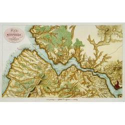
Karte des Bosporos und dier Umgebungen.
A very nice map centered on the Bosporus. Title cartouche on the upper left-hand corner.
Place & Date: Paris, ca.1860
Selling price: $300
Sold in 2013
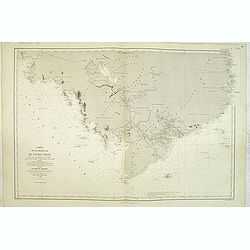
[ South East Asia with the North East coast of Australia ].
General map of the South East Asia with the North East coast of Australia.
Place & Date: France, c. 1860
Selling price: $95
Sold in 2013
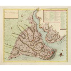
Constantinople superficie 3,975,000 Toises.
Decorative and very detailed plan of Istanbul and its environs. With a numbered key (1-86) to principal places of interest.
Place & Date: Paris 1860
Selling price: $320
Sold
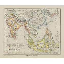
Oostindië en China.
Uncommon map of India, South East Asia, Taiwan, Japan and China. Lithography by J.H. van Weijer, published in Atlas der geheele Aarde [?] in 24 kaarten. With colored key...
Place & Date: Groningen, ca. 1860
Selling price: $30
Sold in 2008
















![[untitled map of Japan]](/uploads/cache/99952-250x250.jpg)







![[ South East Asia with the North East coast of Australia ].](/uploads/cache/26130-250x250.jpg)
