Browse Listings in Asia
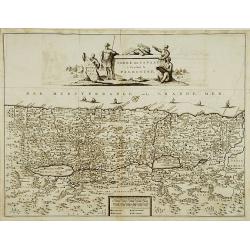
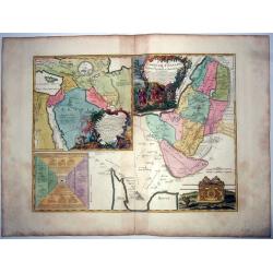
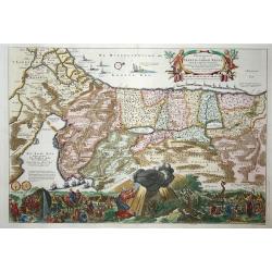
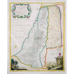
Terre de Chanaan ou terre promise à Abraham et à sa postérité ; Carte des voiages d'Abraham faits par l'ordre de Dieu, en Asie et en. . .
A large and rare copper engraved sheet with 2 maps of the Holy Land, or 'promised land to Abraham', includes also the route of Moses and the Israelites as they wandered t...
Place & Date: Paris, ca 1747
Selling price: $160
Sold in 2021
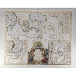
Carte des Voyages de Notre Seigneur Jesus Christ. . .
A decorative map of the Eastern Mediterranean and contiguous regions, with a large inset plan of Jerusalem and inset map of Judea at the time of King Herod. The main map...
Place & Date: Paris, 1747
Selling price: $195
Sold in 2019
Plan de Goa. Grondtekening van Goa.
A beautifully detailed and engraved town-plan of the Portuguese colony of Goa in India, with a number key (1-29) to the city's major monuments and sites, enclosed in a de...
Place & Date: Amsterdam, 1747
Selling price: $160
Sold in 2020
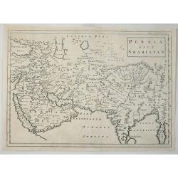
Persia Sive Shahistan.
The map shows Great Persia included Syria, Armenia, Arabia, Iran, Iraq and India, by Cellerius in 1747. Andreas Cellarius was an astronomer, mathematician and cosmograp...
Place & Date: Amsterdam, 1747
Selling price: $7
Sold in 2023
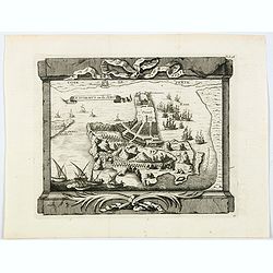
Jaffenapatnam.
A bird's eye perspective of the fort and town of Jaffna. The view depicts Jaffnapatnam, the fort on the coast of Sri Lanka. This Portuguese built fort was captured by the...
Place & Date: Amsterdam, 1747
Selling price: $110
Sold in 2020
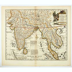
A new & accurate map of the Empire of the Great Mogul.
A decorative map of India, Central Asia, Siam, the Straits of Malacca and parts of Borneo, Sumatra and China, it also incudes the Maldives and the Andaman Islands. It inc...
Place & Date: London, 1747
Selling price: $210
Sold in 2021
A new & accurate map of Asia drawn from actual surveys. . .
An excellent early engraving of Asia. There is a curious shape for Japan, with a large island north called Yedso and a coastline marked De Gamma's Land. The map renders t...
Place & Date: London, 1747
Selling price: $190
Sold in 2021
A New And Accurate Map Of The Empire Of Japan, Laid Down from The Memoirs of the Portuguese and Dutch, and particularly from the Jesuit Missionaries.
A beautiful example of Emmanuel Bowen's map of the Empire of Japan. The map clearly identifies Japanese provinces, towns, islands, lakes, mountains, etc. There are a numb...
Place & Date: London, 1747
Selling price: $200
Sold in 2023
Ile Dormus ou de Jerun.
A beautiful rendition of the Iranian island of Hormuz, situated in the Persian Gulf. From the "Histoire generale des Voyages ou nouvelle collection de toutes les rel...
Place & Date: Paris, 1747
Selling price: $22
Sold in 2021
Geographifche Beschryvinghe van de Wandeling..
Title: "Geographifche Beschryvinghe van de Wandeling der Apostelen ende De Reysen Pauli"This is an original map from a Dutch bible of 1748 made by Stoopendaal. ...
Place & Date: Amsterdam 1748
Selling price: $225
Sold
Isles Philippines.
Nice map of the Archipel des Philippines.
Place & Date: Paris 1748
Selling price: $100
Sold
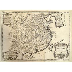
L'Empire de la Chine.
A fine map of China, Korea and Taiwan.Jacques Nicholas Bellin (1703-1772) was one of the most important and proficient French cartographers of the mid-eighteenth century....
Place & Date: Paris 1748
Selling price: $385
Sold
L'Asie Divisée selon ses differens Etats.
Small detailed map of Asia. From Atlas Portatif Universel, by Robert de Vaugondy.Edited by : "Au dépôt de Géographie, Rue Geoffroy Langevin, N° 328. Se trouve A ...
Place & Date: Paris, 1748
Selling price: $100
Sold in 2013
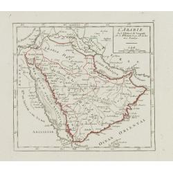
L'Arabie.
Small detailed map of the Arabian Peninsula. From Atlas Portatif Universel, by Robert de Vaugondy.Page 66 outside border top right. Mary Sponberg Pedley does not mention ...
Place & Date: Paris, later than 1748
Selling price: $85
Sold
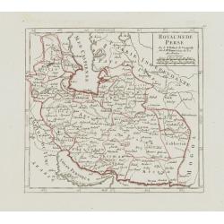
Royaume de Perse.
Small detailed map of Persia. From Atlas Portatif Universel, by Robert de Vaugondy.Page 67 outside border top right. Mary Sponberg Pedley does not mention a state without...
Place & Date: Paris, later than 1748
Selling price: $85
Sold
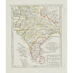
Indoustan ou Etats du Mogol Avec les établissements Français.
Small detailed map of India, including Sri Lanka and the Maldives. From Atlas Portatif Universel, by Robert de Vaugondy.Edited by : "Au dépôt de Géographie, Rue G...
Place & Date: Paris, later than 1748
Selling price: $85
Sold
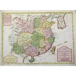
L'Impero della China Per uso della Storia generale de'Viaggi.
Rare uncommon Italian variant of Bellin's three-cartouche map of China. This map shows locations of ethnic groups and communities in China, Korea, and Mongolia. The map s...
Place & Date: Paris, 1748
Selling price: $1450
Sold in 2008
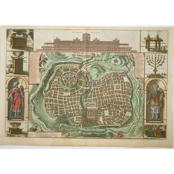
Jerusalem
Great bird's eye plan of the holy city flanked by engravings of religious icons, and Solomon and a priest. At the top is a large elevation of the Temple of Solomon.
Place & Date: Amsterdam, 1748
Selling price: $240
Sold in 2008
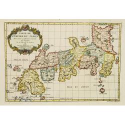
Carte de L'Empire du Japon.
A fine map of the islands of Japan embellished with fine baroque decorations.Bellin influenced other cartographers with his erroneous portrayals of Japan. This is seen in...
Place & Date: Paris, 1748
Selling price: $360
Sold
Pergrinatie ofte Veertich-iarige Reyse
Dutch Bible map of the Holy Land depicting the Exodus from Egypt and the wanderings of the Children of Israel. The lower part of the map is elaborately engraved with a sc...
Place & Date: Amsterdam, 1741/1748
Selling price: $180
Sold in 2009
L'Empire de la Chine.
Beautiful example of Bellin's classic map of China with information provided in three delicately engraved cartouches.
Place & Date: Paris, 1748
Selling price: $170
Sold in 2009
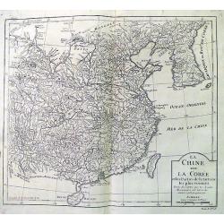
La Chine avec La Coree. . .
Fine map of China, Korea and Taiwan (named as Tayouan ou Formose I.). Prepared after Jesuit sources from 1708-1717.The map is of interest for the use of "Kao-Liqoue ...
Place & Date: Paris, 1748
Selling price: $25
Sold in 2012
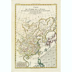
Carte L'Empire de la Chine, de la Tartarie Chinoise..
A fine map of China, Korea, Japan and Taiwan, prepared by R.Bonne and included in his Atlas Ecyclopédique.. Rigobert Bonne (1727-1795) was engineer, mathematician and ca...
Place & Date: Paris, 1748
Selling price: $40
Sold in 2013
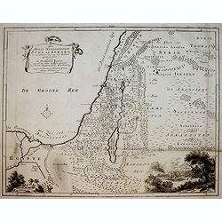
Afbeelding van ' T Land van Israel, naar deszelfs Natuurlijke gesteltheid.
Willem Albert Bachiene (1712-1783), Dutch geographer in Maastricht. Most important work ' Heilige Geographie', a work on the Holy Land.A map of Israel, embellished with t...
Place & Date: Gorichem, Nicolaas Goetzee, 1748
Selling price: $100
Sold in 2020
Afbeelding van all de Landen gelegen tusschen de Middellandsche, Zwarte, Caspische, Persische en Rode Zeeën.
A map of the Near East. From a Dutch bible published by Nicolaas Goetzee. Prepared by Willem Albert Bachiene (1712-1783), Dutch geographer in Maastricht. Most important w...
Place & Date: Gorichem, Nicolaas Goetzee, 1748
Selling price: $120
Sold in 2020
Carte du Canal des Iles Philippines par lequel Passe le Galion de Manille...
This large and detailed copper-engraved sea-chart, is one of the best obtainable maps of the Islands of the Philippines from the 18th century. It provides excellent detai...
Place & Date: Paris, ca. 1748
Selling price: $600
Sold in 2016
L' Empire de La Chine...
Detailed map of China and South Korea, with parts Mongolia, Tartar regions, and also showing Hainan and Formosa (Taiwan). With numerous cities shown: Canton, Macao, Pekin...
Place & Date: Paris, ca. 1748
Selling price: $276
Sold in 2015
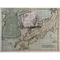
Carte du Japon et de la Korea.
Le Rouge's map of Japan follows the type established by D'Anville with the disproportionately large Korean Peninsula.The large title cartouche features three Japanese god...
Place & Date: Paris, 1748
Selling price: $160
Sold in 2017
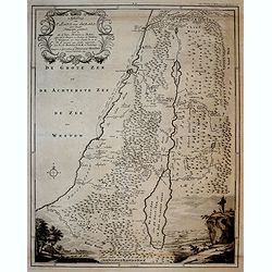
De Beyde Koningryken Juda en Israe¨l, die na Salomos dood zig van elkanderen afgescheurt hebben: benevens de Overheerde Landen . .
Bible map of the Kingdoms of Juda and Israel, with battle scene. Engraved by Jan van Jagen and published in a Dutch Bible by Nicolas Goetzee.Willem Albert Bachiene (1712-...
Place & Date: Gorichem, Nicolaas Goetzee, 1748
Selling price: $32
Sold in 2016
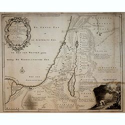
Afbeelding van 't Koningryk Israels, Benevens de door 't zelve Overheerde Landen. . .
Bible map with impressive scene of 1 Kings 10:22 The king (Solomon) had a fleet of trading ships at sea along with the ships of Hiram. Once every three years it returned,...
Place & Date: Gorichem, Nicolaas Goetzee, 1748
Selling price: $35
Sold in 2016
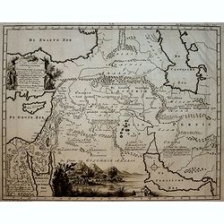
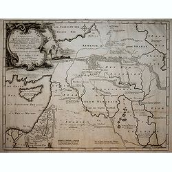
AFBEELDINGE DER OOSTERSCHE LANDEN waarin zoo de X stammen Israels als de II overige van Juda gedurende den tijd hunner ballingschap verkeert hebben. . .
Bible map with nice view of Arabia Felix. Engraved by Jan van Jagen and published in a Dutch Bible by Nicolas Goetzee.Willem Albert Bachiene (1712-1783), Dutch geographer...
Place & Date: Gorichem, Nicolaas Goetzee, 1748
Selling price: $65
Sold in 2016
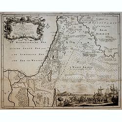
AFBEELDING VAN EGYPTE, DE WOESTIJNE DER SCHELFZEE EN 'T LAND KANAAN. . .
Bible map with exodus scene. Engraved by Jan van Jagen and published in a Dutch Bible by Nicolas Goetzee.Willem Albert Bachiene (1712-1783), Dutch geographer in Maastrich...
Place & Date: Gorichem, Nicolaas Goetzee, 1748
Selling price: $17
Sold in 2016
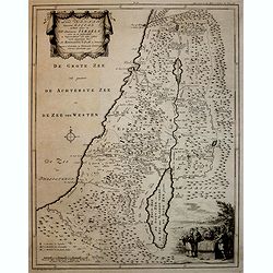
AFBEELDINGE VAN 'T LAND KANAAN. . .
Map of Canaan engraved by Jan van Jagen and published in a Dutch Bible by Nicolas Goetzee.Willem Albert Bachiene (1712-1783), Dutch geographer in Maastricht. Most importa...
Place & Date: Gorichem, Nicolaas Goetzee, 1748
Selling price: $20
Sold in 2016
AFBEELDINGE VAN 'T LAND VAN ISRAEL NAAR DESZELFS NATUURLIJKE GESTELD. . .
Map of the Land of Israel engraved by Jan van Jagen and published in a Dutch Bible by Nicolas Goetzee.Willem Albert Bachiene (1712-1783), Dutch geographer in Maastricht. ...
Place & Date: Gorichem, Nicolaas Goetzee, 1748
Selling price: $30
Sold in 2016
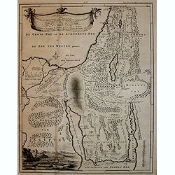
'T LAND KANAAN benevens GILEAD.
Map of the Land of Canaan engraved by Jan van Jagen and published in a Dutch Bible by Nicolas Goetzee.Willem Albert Bachiene (1712-1783), Dutch geographer in Maastricht. ...
Place & Date: Gorichem, Nicolaas Goetzee, 1748
Selling price: $27
Sold in 2016
Afbeelding van alle de landen gelegen tusschen de Middelandsche, Zwarte, Caspische, Persische en Rode Zeën.
Bible map with scene of Adam and Eve expulsed from paradise. Engraved by Jan van Jagen and published in a Dutch Bible by Nicolas Goetzee. Willem Albert Bachiene (1712-178...
Place & Date: Gorichem, Nicolaas Goetzee, 1748
Selling price: $17
Sold in 2016
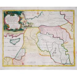
Afbeelding van all de Landen gelegen tusschen de Middellandsche, Zwarte, Caspische, Persische en Rode Zeën.
A map of the Near East, with an oversized Cyprus.Decorative, scrolled title cartouche to upper left corner. From a Dutch bible published by Nicolaas Goetzee. Willem Alber...
Place & Date: Gorichem, Nicolaas Goetzee, 1748
Selling price: $65
Sold in 2020
[2-sheets] Carte des Indes Orientales. . .
A lovely two sheet map (1000 x 860 mm) of the East Indies, drawn by Tobias Meyer for the Homann Heirs in 1748.The first sheet shows India as far north as Delhi, across to...
Place & Date: Nurenberg, 1748
Selling price: $550
Sold in 2017
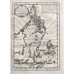
Karte von den Philippinischen Celebes und Molukkischen Eylanden.
Uncommon map of the Philippines, including a large part of Borneo, Sulawesi, the Moluccas, Bali, Timor, etc. With a small title cartouche and a box with German text.More ...
Place & Date: Paris, 1748
Selling price: $110
Sold in 2017
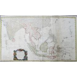
Carte des Indes Orientales...
Important and large size copper-engraved map from India until Australia. Including todays Burma, Thailand, Laos, Vietnam, Malaysia, Singapore, Sumatra, Bali, China, Taiwa...
Place & Date: Nuremberg, 1748
Selling price: $240
Sold in 2019
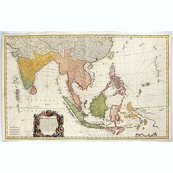
Carte des Indes Orientales. . .
A lovely two joined sheet map of the East Indies, drawn by Tobias Meyer for the Homann Heirs in 1748.The first sheet shows India as far north as Delhi, across to Assam, B...
Place & Date: Nurenberg, 1748
Selling price: $500
Sold in 2021
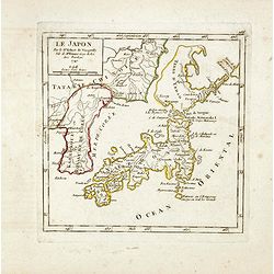
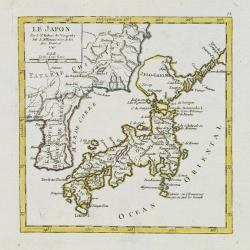
Le Japon.
The map is of interest for the use of Mer de Corée, for the sea between Korea and Japan. Small detailed map of Japan and Korea. Dated 1749. A note next to island &quo...
Place & Date: Paris, 1749
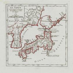
Le Japon.
Fine miniature map in a second state. Major cartographical corrections are the reduction of the size of Terred' Yedso and renaming it Jeso-Gasima , and the addition of fu...
Place & Date: Paris 1749
Selling price: $450
Sold
Asia verfertiget von Joh.Schreibern in Leipzig.
On this map Hokkaido is even bigger depicted than Honshu.
Place & Date: Leipzig, 1749
Selling price: $150
Sold in 2009
Carte des Costes de Cochinchine Tunquin.
Shows today's Vietnam, southern China and Hainan Island in the Gulf of Tonkin. Attractive cartouche and fleur-de-lys.FromAtlas Portatif pour servir a l'intelligence de l'...
Place & Date: Amsterdam, 1749
Selling price: $600
Sold in 2010
Carte des Isles Philippines Celebes et Moluques.
Uncommon issue of this map of the Philippines Islands, Borneo, Moluccas and Sulawesi.FromAtlas Portatif pour servir a l'intelligence de l'Histoire Philosophique et Politi...
Place & Date: Amsterdam, 1749
Selling price: $300
Sold in 2009
Le Japon.
Small detailed map of Japan and Korea. Dated 1749. A note next to island "Fatsisio ou l'Empereur envoye en exil les Grands".From Atlas Portatif Universel, by Ro...
Place & Date: Paris, later than 1749
Selling price: $200
Sold in 2008
Gezigt van Peking, getrokken uit Nieuhof
This view of Peking is based on an engraging from the publication ''''Het Gezantschap der Neêrlandtsche Oost-Indische Compagnie, aan den grooten Tartarischen Cham, den t...
Place & Date: 1749
Selling price: $120
Sold in 2008
A Chart of the Channel in the Phillippine Islands through which the Manila Galeon passes together with the adjacent Islands.
Chart of the northern Philippine islands. Double page chart, engraved by R. W. Seale, from the English edition of George Anson's Voyages, London 1749.
Place & Date: London, 1749
Selling price: $500
Sold in 2013
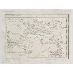
Carte de la Petite Bukharie et Pays Voisins.
Fine copper engraved map covering entire Sinkiang, the Tarim Basin, Djungariet and Turfan and the Pamirs in the west to the Chinese Wall beginning in the East. Engraved b...
Place & Date: Paris, 1749
Selling price: $3
Sold in 2016
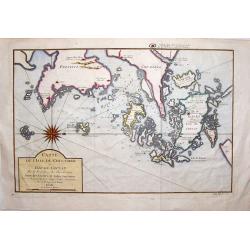
Carte de L'isle de Cheu-Chan.
Striking map of the area of China, east of Ningbo in Chekiang Province across from Shanghai. The map was by Bellin in 1749. Interestingly, the large, detailed compass ...
Place & Date: Paris, 1749
Selling price: $42
Sold in 2019
Isles Philippines et Moluques. . .
Fine miniature map of Philippines, Moluccas and New Guinea. Found in his Atlas Portatif, universel et militaire, 1749-1799.
Place & Date: Paris, 1749
Selling price: $200
Sold in 2015
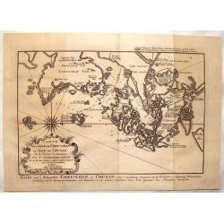
l'Isle de Cheu-chan ou Isle de Chusan.
A striking map of of Cheu-Chan in the province of Che-Kiang and surrounding islands in China. It was published in "HISTOIRE GENERALE DES VOYAGES" by Prevost in ...
Place & Date: Paris, 1749
Selling price: $25
Sold in 2019
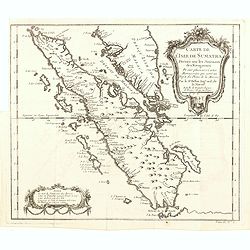
Carte de l'Isle de Sumatra. . .
Map of Sumatra, also showing the tip of the Malay Peninsula and the Straits of Singapore. An unusually detailed map of the area, showing many coastal features, shoals, ba...
Place & Date: Paris, 1749
Selling price: $300
Sold in 2016
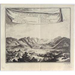
Vue de la Grande Muraille du Cote par Lequel L'Ambassadeur Entra a la Chine.
Fine little copper engraving from "HISTOIRE DES VOYAGES" by Abbe Prevost. It was published by Didot in Paris in 1748. Interesting banner cartouche.
Place & Date: Paris, 1749
Selling price: $20
Sold in 2016
Carte de la Tartarie Orientale Pour Servir a L'Histoire Generale des Voyages.
Detailed map of Manchuria and the Northeast portion of Tartaria, including Sagallan Anga Hata. Produced by Nichlas Bellin for Prevost d'Exiles' “L'Histoire Generale de...
Place & Date: Paris, 1749
Selling price: $40
Sold in 2019
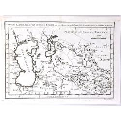
Carte de Karazm, Turkestan et Grand Bukarie
A fine copper engraved map by Bellin, centred on Uzbekistan, showing the Caspian and Aral seas. Published in “ Histoire Generale des Voyages” by Abbe A. F. Prevost in...
Place & Date: Paris, 1749
Selling price: $22
Sold in 2019
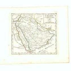
L'Arabie Par le Sr. Robert de Vaugondy fils de Mr. Robert Geog. ord du Roi avec Privilege 1749.
Small detailed map of Arabia. From Atlas Portatif Universel, by Robert de Vaugondy.Page 162 outside border top right. First and only state.More about Mapping of Arabia [+...
Place & Date: Paris, 1749
Selling price: $230
Sold in 2017
Presqu Isle fr L'Inde au dela du Gange ou sont les R.mes dAva, De Siam, De Tong-King, de Cochinchine de Cambodge, &c. Par le Sr. Robert de Vaugondy fils de Mr. Robert Geog. Ord du Roi avec Privilege 1749.
Small detailed map of Thailand, Cambodia, Malaysia. From Atlas Portatif Universel, by Robert de Vaugondy.Page 165 outside border top right. First and only state.
Place & Date: Paris, 1749
Selling price: $120
Sold in 2016
Isles Philippines et Moluques Par le Sr. Robert de Vaugondy fils de Mr. Robert Geog. Ord du Roi avec Privilege 1749.
Small detailed map of Philippines, including New Guinee and Moluccas. From Atlas Portatif Universel, by Robert de Vaugondy.Page 169 outside border top right. First state ...
Place & Date: Paris, 1749
Selling price: $180
Sold in 2016
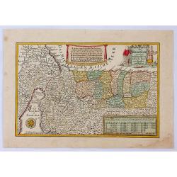
Das Gelobte LandSsammt der 40 Jærigen Reise de Kinder Israel aus Egypten.
A pleasant map of the Holy Land by George Schrieber. Published in the 'Atlas Selectus', orientated with north to the right. With decorative cartouches for title and key f...
Place & Date: Leipzeg, 1749
Selling price: $80
Sold in 2021
A Chart of the Channel in the Phillippine Islands...
A very attractive copper-engraved sea-chart, one of the best obtainable maps of Philippines from the 18th century. Covers the area from Luzon south until Negros, Cebu, an...
Place & Date: London, 1748-1749
Selling price: $475
Sold in 2016
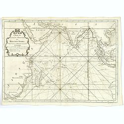
Carte de l'Ocean Oriental ou Mer des Indes. . .
Jacques Nicolas Bellin (1702-720) was the most important French hydrographer of the 18th century. Sea-atlas 'Hydrographique Français' , 1756-65, atlas to accompany Prév...
Place & Date: Paris, ca 1749
Selling price: $130
Sold in 2020
Carte de la Baye de Manille / Plan van de Baay van Manilla.
This attractive chart of Manila Bay comes from a more rare Dutch/French edition of Anson's Voyage Around the World (´Voyage autour du Monde´), published in 1749 in Amst...
Place & Date: Amsterdam, 1749
Selling price: $160
Sold in 2019
Carte de la Petite Bukarde et Pays Voisins. . .
Antique map of Central Asia (Turpan) of China. Petit Bukaharie or Xinjiang, known for the more two thousand years old Silk road. By Bellin in 1749.Jacques Nicolas Bellin ...
Place & Date: Paris, 1749
Selling price: $2
Sold in 2020
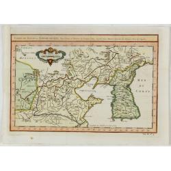
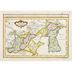
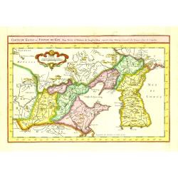
Carte du Katay, ou Empire de Kin : pour servir a l'Histoire de Jenghiz Khan, raportée dans l'Histoire generale des voyages, tirée de l'Angloise.
The map is of interest for the use of East Sea, the sea between Korea and Japan, here called "Mer de Corée".Fine map of Korea and China's Yellow Sea. Complete ...
Place & Date: Paris, 1750
Selling price: $450
Sold in 2023
Carte du Katay ou Empire de Kin. . .
The map is of interest for the use of Mer de Corée, for the sea between Korea and Japan .Fine map of Korea and China's Yellow Sea. Complete title in top: Carte du Katay ...
Place & Date: Paris, 1750
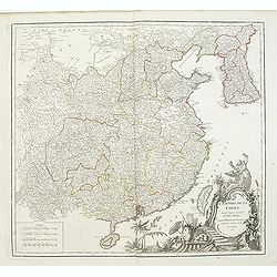
L'Empire de la Chine. . .
Detailed map of China, Korea and Taiwan. The large title cartouche is resplendent in the French style with musicians, a dancer, and various accouterments representative o...
Place & Date: Paris, dated 1750
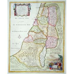
't Land Kanaan..
This map depicts Palestine divided into the twelve tribes. It is finely engraved and shows towns, villages and rivers. Decorated with a title cartouche, a bible scene and...
Place & Date: Amsterdam 1750
Selling price: $160
Sold
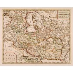
Nieuwe kaart van 't Ryk van Persie.
A detailed map of Persia and its adjoining countries.
Place & Date: Amsterdam 1750
Selling price: $160
Sold
Archipel Des Indes Orientales, qui comprend Les Isles De La Sonde.. Philippines..
Good condition. Some marginal water stains. Paper very slightly age toned. Very good.
Place & Date: Paris, 1750
Selling price: $450
Sold in 2015
Plan de la ville de Siam.
Early plan of Siam, Thailand. Across the top is an extensive list of 22 important sites and locations keyed to the plan with tiny letters and numbers.Jacques Nicolaas Bel...
Place & Date: Paris 1750
Selling price: $320
Sold
L'Isle Formose et Partie des Costes de la Chine.
This well-known map of Taiwan is based on Jesuit information. The text along the island's east-coast claims: Of this coast little is known .Jacques Nicolaas Bellin (1703-...
Place & Date: Paris 1750
Selling price: $475
Sold
TERRE de CANAAN à présent la PALESTINE.
Uncommon map of the Holy Land oriented to the west.
Place & Date: France, c.1750
Selling price: $200
Sold
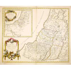
La Judée ou Terre Sainte divisé en sous..
A finely engraved and uncommon map depicting the division of the Holy Land into twelve tribes. In upper left hand corner inset map of land of Canaan. Decorative title car...
Place & Date: Paris 1750
Selling price: $200
Sold in 2008
Carte du Katay ou Empire de Kin..
Fine map of Korea and China's Yellow Sea. Complete title in top: Carte du Katay ou Empitre de Kin, pour servir de l'Histoire de Jenghiz Khan. Raportée dans histoire Gene...
Place & Date: Paris 1750
Selling price: $200
Sold
..Karte von der halb=Insil Indiens diesseits dem Ganges.
Fine map of India and northern part of Sri-Lanka. Text is in German. The map is decorated with small elephants, Lions, trees, etc.RARE. Engraved by Christian Liebe, engra...
Place & Date: Halle c. 1750
Selling price: $300
Sold
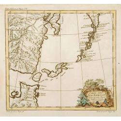
Carte des Isles Kouriles.
A good impression of a detailed, finely engraved map of the north of Honshu. Derived from Russian maps resulting from the expeditions of Bering, Cherikov and others, one ...
Place & Date: Paris 1750
Selling price: $50
Sold
Nieuwe kaart van Irak Arabi, Kurdistan, Diarbek. . .
Detailed map including the northern part of the Arabian peninsular, Palestine, Iraq, Iran and the eastern part of Cyprus.
Place & Date: Amsterdam, 1750
Selling price: $180
Sold in 2017
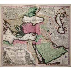
Magni Turcarum dominatoris Imperium
A fine decorative map of the Turkish Empire by Seutter.
Place & Date: Germany, c. 1750
Selling price: $425
Sold









![[2-sheets] Carte des Indes Orientales. . .](/uploads/cache/39110-250x250.jpg)
