Browse Listings in Asia
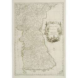
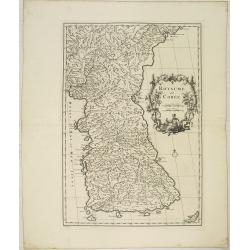
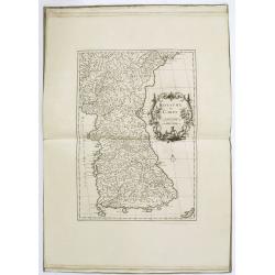
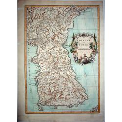
Royaume de Corée.
With a quite elaborately pictorial cartouche, engraved by G.Kondet. One of the earliest separate maps of Korea. Jean Baptiste Bourguignon d' Anville (1697-1782), French c...
Place & Date: The Hague, 1737
Selling price: $1350
Sold
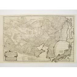
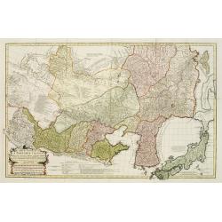
Carte Generale de la Tartarie Chinoise..
Very detailed map of Northern China, Japan and Korea. Jean Baptiste Bourguignon d' Anville (1697-1782), French cartographer. Compiled over 200 maps. This map is from his ...
Place & Date: Paris 1737
Selling price: $400
Sold
Carte Generale De La Tartarie Chinoise Dressee sur les Cartes Particulieres Faits Sur Les Lieux Par Les R.R. P.P. Jesuites . . . .MDCCXXXII
D'Anville is very important for Korean cartography as he made the cartography of Korea widely available. The map is the first fairly accurate western map of Korea, though...
Place & Date: The Hague, 1732-1737
Selling price: $1800
Sold
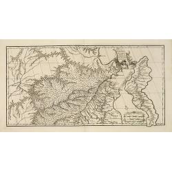
Xe feuille de la Tartarie Chinoise, contenant le Païs de KE-TCHING, l'embouchure du SAGHALIEN-OULA dans la Mer orientale, . . .
One of the earliest detailed maps of the region from "Nouvel atlas de la Chine, de la Tartarie chinoise et du Thibet : contenant les cartes générales & particu...
Place & Date: The Hague, H. Scheurleer, 1737
Selling price: $600
Sold in 2015
Royaume de Corée.
With a quite elaborately pictorial cartouche, engraved by G.Kondet. One of the earliest separate maps of Korea. Jean Baptiste Bourguignon d' Anville (1697-1782), French c...
Place & Date: The Hague, 1737
Selling price: $4000
Sold in 2010
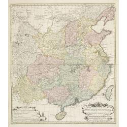
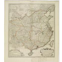
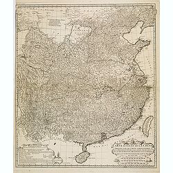
Carte générale de la Chine Dressée sur les Cartes particulières que l'Empereur Cang-hi a fait lever sur les lieux par les RR. PP. Jésuites missionaires dans cet empire / Par le Sr d'Anville.
Important and very detailed map of Southern part of China, including a detailed Taiwan. Jean Baptiste Bourguignon d' Anville (1697-1782) was a French cartographer and com...
Place & Date: The Hague, H. Scheurleer, 1737
Selling price: $1800
Sold
Nouvel atlas de la Chine, de la Tartarie chinoise, et du Thibet.
First edition of "the principal cartographic authority on China during the 18th century". It was the second major atlas of China produced in Europe following th...
Place & Date: The Hague, 1737
Selling price: $20000
Sold
[10 Maps] Carte generale du Thibet ou Bout-Tan et des Pays de Kashgar et Hami Dress'ee sur les Cartes et Memoires des RR PP Jesuites de la Chine . . .
The first accurate cartographic depiction of Tibet available in the western world. Jean Baptiste Bourguignon d' Anville (1697-1782), French cartographer. Compiled over 20...
Place & Date: The Hague, 1737
Selling price: $3400
Sold in 2010
Carte la plus generale et qui comprend la Chine, la Tartarie chinoise et le Thibet. . .
With a quite elaborately pictorial cartouche, engraved by G.Kondet. Very detailed map of China, Tibet and Korea. Jean Baptiste Bourguignon d' Anville (1697-1782), French ...
Place & Date: Paris, 1737
Selling price: $2500
Sold in 2010
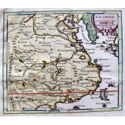
Province de Fo-Kien. [Includes West Coast of Taiwan]
Important map of Fujian Province, showing the east coast of China and the west coast of Taiwan.It shows that for the Manchu Qing, only the western half of Formosa was con...
Place & Date: The Hague, H. Scheurleer, 1737
Selling price: $1200
Sold
Carte generale de la Chine. . . [together with 11 maps of Chinese provinces]
Very detailed map of Southern part of China, including a detailed Taiwan. Together with 11 maps of Chinese provinces, in different sizes and each with a fine title cartou...
Place & Date: The Hague, 1737
Selling price: $1200
Sold in 2010
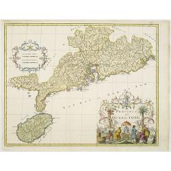
Province de Quang-Tong.
With a quite elaborately pictorial cartouche, engraved by D.Sornique. Very detailed map of Hong Kong and its surroundings. Jean Baptiste Bourguignon d' Anville (1697-1782...
Place & Date: The Hague, 1737
Selling price: $1550
Sold in 2011
Route Exacte de Gamron a Batavia et De Batavia a Gamron
The map depicts his route from Gamron (modern Bandar Abas) to Batavia (Jakarta). Finely engraved with a decorative title cartouche and compass rose.Taken from "Trave...
Place & Date: Amsterdam, 1737
Selling price: $180
Sold in 2011
Carte la plus generale et qui comprend la Chine, la Tartarie chinoise et le Thibet. . .
With a quite elaborately pictorial cartouche, engraved by G.Kondet. Very detailed map of China, Tibet and Korea. Jean Baptiste Bourguignon d' Anville (1697-1782), French ...
Place & Date: Paris, 1737
Selling price: $2600
Sold
Carte Generale de la Chine Dressée sur les Cartes Particulieres Que l' Empereur Chang-Hi a fait lever sur les lieux..
Large map showing the traditional limits of China, including Hainan and Formosa in the South, and Quantong and parts of the Gobi Desert in the North.As the title notes, t...
Place & Date: Paris , 1737
Selling price: $2200
Sold in 2014
Nouvel atlas de la Chine, de la Tartarie chinoise, et du Thibet.
First edition of "the principal cartographic authority on China during the 18th century". It was the second major atlas of China produced in Europe following th...
Place & Date: The Hague, H. Scheurleer, 1737
Selling price: $20000
Sold
Nouvelle carte d'une grande partie de la presqu'île des Indes en deça du Gange . . .
Uncommon map of the pen insular of India prepared by Jean-Baptiste Bourguignon d' Anville (1697-1782) after Jesuit sources. The map is dated 1737 and carries the sign of ...
Place & Date: Paris, 1737
Selling price: $110
Sold in 2012
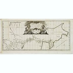
Carte des Pays traverses par le Cap.ne Beerings depuis la ville de Tobolsk jusqu'à Kamtschatka
With a quite elaborately pictorial cartouche, engraved by G.Kondet. Showing the northern coast of Chine, Strait Beering. This map includes the first printed configuration...
Place & Date: The Hague, 1737
Selling price: $250
Sold in 2012
Carte générale de la Chine Dressée sur les Cartes particulières que l'Empereur Cang-hi a fait lever sur les lieux par les RR. PP. Jésuites missionaires dans cet empire / Par le Sr d'Anville.
Important and very detailed map of Southern part of China, including a detailed Taiwan. Jean Baptiste Bourguignon d' Anville (1697-1782) was a French cartographer and com...
Place & Date: The Hague, H. Scheurleer, 1737
Selling price: $525
Sold in 2013
Nouvelle carte d'une grande partie de la presqu'île des Indes en deça du Gange / dressée sur deux cartes manuscrites des RR. PP. Jésuites par le Sr. d'Anville.
Uncommon map of the pen insular of India prepared by Jean-Baptiste Bourguignon d' Anville (1697-1782) after Jesuit sources. The map is dated 1737 and carries the sign of ...
Place & Date: Paris, 1737
Selling price: $200
Sold in 2013
Province de Chen-Si.
With a quite elaborately pictorial cartouche, engraved by Guélard, the map by Delahaye. Jean Baptiste Bourguignon d' Anville (1697-1782), French cartographer. Compiled o...
Place & Date: The Hague, 1737
Selling price: $400
Sold in 2014
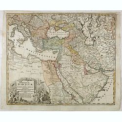
Imperium Turcicum in Europa, Asia et Africa.
Johann Baptist Homann's well-engraved map of the Turkish Empire with a fine decorative title cartouche. Johann Baptist Homann (1663-1724) was a German engraver and publis...
Place & Date: Nurnberg, 1737
Selling price: $220
Sold in 2017
Province de Koei-Tcheou.
Appeared in d'Anville's Nouvel atlas de la Chine in 1737. This is a delightful map of the province of Guizhou, or Kweichow, the smallest province in southwestern China. T...
Place & Date: 1737
Selling price: $15
Sold in 2017
Province d'Yunnan.
Based on Jesuit sources, D'Anville's maps remained the definitive European rendering of China's provinces until the end of the 19th century. This beautiful and detailed D...
Place & Date: 1737
Selling price: $10
Sold in 2017
Villes de la Province de Hou-Quang.
A nice example of d'Anville's local town plans of Hubei Province, China from 1737. Includes 4 town plans, including Wuhan, called Vou-Tchang-Fou and a nice map of the Yan...
Place & Date: 1737
Selling price: $15
Sold in 2017
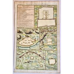
Villes de la Province de Petcheli.
A nice example of d'Anville's local plans of the region around Peking, China in 1737. Shows a town plan of the Forbidden City in Peking, the Great Wall of China, and othe...
Place & Date: 1737
Selling price: $50
Sold in 2017
Carte du cours de la Riviere de Meinam depuis Judia jusqui..
Very rare single sheet map of the Meinam river delta from the ancient capital Juthia, shown in inset top left with its continuation on the larger map to the sea. A compli...
Place & Date: Amsterdam, 1737
Selling price: $1000
Sold in 2017
Carte Generale de la Chine Dressée sur les Cartes Particulieres Que l' Empereur Chang-Hi a fait lever sur les lieux..
Large map showing the traditional limits of China, including Hainan and Formosa in the South, and Quantong and parts of the Gobi Desert in the North.As the title notes, t...
Place & Date: Paris , 1737
Selling price: $800
Sold in 2018
Province de Quang-Tong.
With a quite elaborately pictorial cartouche, engraved by G.Kondet. Very detailed map of Hong Kong and its surroundings. Jean Baptiste Bourguignon d' Anville (1697-1782),...
Place & Date: The Hague 1737
Selling price: $1339
Sold in 2018
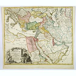
Imperium Turcicum in Europa, Asia et Africa.
Johann Baptist Homann's well-engraved map of the Turkish Empire with a fine decorative title cartouche. Striking map of the Turkish Empire stretching from the Balkan peni...
Place & Date: Nurnberg, 1737
Selling price: $105
Sold in 2019
ROYAUME DE COREE.
The first separate map of Korea by a European cartographer. A fine engraved map of Korea, the title within a fine rococo historiated cartouche middle right, decorated wit...
Place & Date: Paris, 1737
Selling price: $3000
Sold in 2021
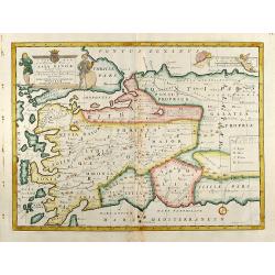
A New Map of The Western Parts of Asia Minor
Decorative colored map of Asia Minor with several Greek Island and the Western part of Turkey and the Bosporus. From "A New Sett of Maps both of Antient and Present...
Place & Date: London, 1738
Selling price: $350
Sold in 2013
A New Map of Present Asia
Decorative colored map of the Asian continent. From "A New Sett of Maps both of Antient and Present Geography" by Edward Wells an English clergyman, teacher an...
Place & Date: London, 1738
Selling price: $700
Sold in 2009
Province XII. Quang-tong. . .
From the rare English text edition of Du Halde's description of China. Showing the area around present-day Hong Kong in good detail. Map of Quang-Tong (Guangdong) showing...
Place & Date: London, 1738
Selling price: $1700
Sold in 2013
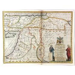
A New Map of the Eastern Parts of Asia Minor. Largely taken: As also of Syria, Armenia, Mesopotamia & c.
An interesting map of the Ottoman region from Eastern Turkey to the western shore of the Caspian Sea, and south to the Arabian Desert and Persian Gulf. Includes the moder...
Place & Date: London, 1738
Selling price: $36
Sold in 2016
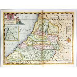
A New Map of the Land of Canaan
A decorative colored map of the Holy Land, divided among the twelve tribes of Israel.An inset of the Kingdom of Zobah is included in the top left corner. Engraved by Sutt...
Place & Date: London, 1738
Selling price: $160
Sold in 2016
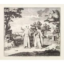
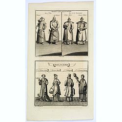
Mandarins, or place-men from du Halde/ Females from du Halde.
Two copperplate engravings on one plate from Duhalde's 'A description of the Empire of China and Chinese Tartary, together with the Kingdoms of Korea & Tibet. The fir...
Place & Date: London, ca. 1738
Selling price: $60
Sold in 2019
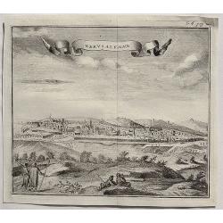
Gervsalemme.
A fine copper engraved bird’s eye view of Jerusalem by Salmon in 1738. It features a decorative ribbon cartouche. Thomas Salmon (1679–1767) was an English historical ...
Place & Date: London, 1738
Selling price: $115
Sold in 2020
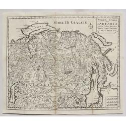
Nuova Carta della Tartaria.
A detailed map of Tartaria, extending from the Caspian Sea to Japan, Korea, Kamtchatka and the Pacific by Tirion in 1738.Isaak Tirion (1705–1765) was an 18th-century pu...
Place & Date: Amsterdam, 1738
Selling price: $55
Sold in 2020
Visiapour Citta Capitale dell India.
A fine copper engraved city view of Visapur, in India by Salmon, issued in 1738.
Place & Date: London, 1738
Selling price: $24
Sold in 2020
Luogo degli Inglesi a Suratte.
A fine copper engraved city view of La Chiesa, in India by Thomas Salmon in 1738.
Place & Date: London, 1738
Selling price: $14
Sold in 2020
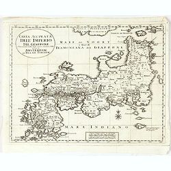
Carta Accurata dell' Imperio del Giappone. . .
Albrizzi published this Italian version of Tirion's first map of Japan. In the upper part of the map Jesso of Jesogasima Kamtzchatka is shown north of the Noto Peninsula....
Place & Date: Venice, 1738
Selling price: $140
Sold in 2021
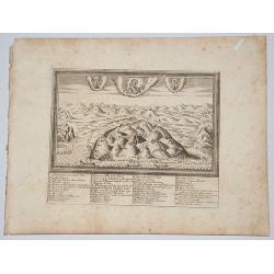
[Lot of 2 items] Isoletta Desima Abittata Dagli Olandesi Nel Giappone / Plan du port et de la ville de Nangasaki.
A rare view of the island Deshima with a numbered index table below image. From the Italian translation of T. SALMON, 'Hedendaegsche historie of tegenwoordige staet van a...
Place & Date: Venice, ca 1738
Selling price: $200
Sold in 2021
Imperii Russici et Tartariae Universae tam majoris Afiaticæ quam minoris et EuropæTabula.
Decorative map covering Russia, Tibet, China, Tartary, Korea, Taiwan and Japan prepared by J. M. Hasius. With a hefty landmass north of Honshu touching the Asian continen...
Place & Date: Nuremberg, 1739
Selling price: $300
Sold in 2013
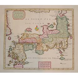
"Naauw-Keurige Kaart van 't Keizerryk Japan."
A stunning map of Japan based on the Kaempfer / Scheur type. The map is corrected from his previous work on Japan as it incorporates more accurate geography for the north...
Place & Date: Amsterdam 1739
Selling price: $700
Sold
Typus Aetiologicus II.
Map covering the Middle East from the Eastern Mediterranean to the borders of India. Outline coloring shows the political division of the region under Seleucos I.
Place & Date: Nuremberg 1739
Selling price: $120
Sold in 2008
Five plans on one sheet: Istanbul, London, Rome, Lima, Amsterdam.
A rare composite sheet of engravings of town-plans of Istanbul, London, Rome, Lima, Amsterdam From : "Regni Davidici et Salomon Descriptio Geographica et Historica, ...
Place & Date: Nuremberg, Homann, 1739
Selling price: $300
Sold in 2021
Imperii Russici et Tartariae Universae tam majoris Afiaticæ quam minoris et EuropæTabula.
Decorative map covering Russia, Tibet, China, Tartary, Korea, Taiwan and Japan prepared by J. M. Hasius. With a hefty landmass north of Honshu touching the Asian continen...
Place & Date: Nuremberg, 1739
Selling price: $320
Sold in 2009
Typus Aetiologicus II.
Rare map centered on Armenia, Georgia, Black Sea and the Caspian Sea, with the Middle East from the Eastern Mediterranean to the borders of India. Outline coloring shows ...
Place & Date: Nuremberg, 1739
Selling price: $500
Sold in 2009
La Chine.
Lovely example of Giustiniani’s uncommon map of China from his “Atlas Abreviado”.
Place & Date: Amsterdam, 1739
Selling price: $275
Sold
Imperii Russici et Tartariae Universae tam majoris Afiaticæ quam minoris et EuropæTabula.
The map is of interest for the use of East Sea, the sea between Korea and Japan, here called "Mere Orientale Minus".Decorative map covering Russia, Tibet, China...
Place & Date: Nuremberg, 1739
Selling price: $500
Sold in 2012
Ein Prospect der Baterie Anjol Eine Stunde von Batavia...
A pleasing view of the battery in Batavia, Indonesia. Batavia was the name of the capital city of the Dutch East Indies, and corresponds to the present-day city of Jakart...
Place & Date: Frankfurt, 1739
Selling price: $16
Sold in 2018
NORTH ISRAEL / MOUNT CARMEL.
A bird's eye view / map of the Holy Land from Haifa to Cesaria - Jerusalem centered on mount Carmel. Taken from the book: Conventuum fratrum Discalceatorum Ordinis B VIRG...
Place & Date: Rome, 1739
Selling price: $170
Sold in 2017
Regni Davidici et Salomonaei descriptio Geographica cum vicinis regionibus Syriae et Aegypti. . .
A rare map of the Near East region, extending from Turkey to Egypt. It includes Cyprus, Holy Land, and Mesopotamia, and illustrates the Kingdoms of David and Solomon. Myt...
Place & Date: Nuremberg, ca 1739
Selling price: $90
Sold in 2020
Les Isles Philippines Moluques et de la Sonde.
A very nice map of Southeast Asia with the Philippines including Borneo, Java, Sumatra and the Moluccas, with an inset map of Japan. From Francisco Giustiniani for El Atl...
Place & Date: Leon de Francia (Lyon), Jaime Certa, 1739
Selling price: $450
Sold in 2021
Nuova carta dell' Imperio della Chia e dei Paesi circonvicini. / Nueva carta de l'Impario de la Quina.
The map is of interest for the use of Mar di Corea" and "Mar Setentrionale del Giapone" in the sea between Korea and Japan.Rare early edition of Albrizzi's...
Place & Date: Venice, 1740
Regni Sinae vel Sinae Propriae Mappa et Descriptio Geographica ..
A highly detailed, excellent map of China based on the works of Du Halde and D'Anville. The map extends from the Gobi desert in the north to Hainan island in the south an...
Place & Date: Nuremberg, ca 1740
Selling price: $400
Sold
Waere Affbeeldinge Wegens het Casteel ende Stadt Batavia Gelegen opt Groot Eylant Java.
Batavia (Jakarta), the Dutch capital in the East Indies, is an exquisite and detailed plan. The plan is based on Clement de Jonghe's map of 1650, except for a modificatio...
Place & Date: Amsterdam, 1740
Selling price: $1100
Sold in 2010
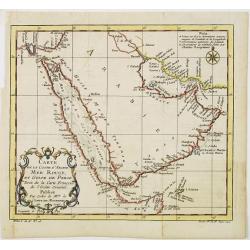
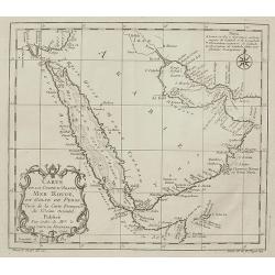
Carte de la coste d'Arabie Mer Rouge et Golfe de Perse.
With typical Rococo cartouche lower left. One of the few maps covering the Arabian Peninsular. Many coastal names appear.
Place & Date: Paris 1740
Selling price: $150
Sold
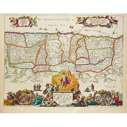
Het Beloofde Landt Canaan door wandelt van onsen Salichmaecker Iesu Christo, neffens syne Apostelen
Dutch so-called Staten bibles, published between 1637 and c. 1760, contained 5 maps: The World, 'Paradise', The Perigrinations, The Promised Land Canaan, The Travels of S...
Place & Date: Amsterdam, c. 1740
Selling price: $180
Sold
Carte des Costes de Concan et Decan..
Fine map in two parts of the west coast of India. One sheet including Bombay the other part Goa. From Petit Atlas Maritime .Jacques Nicolaas Bellin (1703-1772) was one of...
Place & Date: Paris 1740
Selling price: $170
Sold
Carte des Costes de Perse, Gusarat et Malabar..
A good engraved map of the Indian Ocean, with the west coast of India, Persia, Maldives and the eastern tip of Arabia. The geographical features are typical with somewhat...
Place & Date: Paris, 1740
Selling price: $40
Sold in 2012
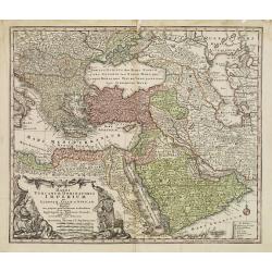
Magni Turcarum Dominatoris Imperium per Europam ..
Alluring map of the Near and Middle East centred on Turkey, giving good detail in the Arabian Peninsula.With large cartouche in lower left depicting figures with turbants...
Place & Date: Augsburg 1740
Selling price: $300
Sold
(Wall map) L'Asie Dressée sur les Nouvelles Observations..
A rare Nolin wall map of the continent of Asia, composed from four joined sheets surrounded by text and vignettes printed on separate sheets.Published in Paris and dated ...
Place & Date: Paris 1740
Selling price: $10400
Sold
Regni Japoniae Nova Mappa Geographica..
The map is based on Englebert Kaempfer's map of 1727. It shows a much distorted outline for the Island of Japan and a wonderful decorative cartouche top left. The map was...
Place & Date: Augsburg 1740
Selling price: $1900
Sold
A Japanese couple.
A fine copperplate view of a Japanese couple in rather stylized dress.
Place & Date: Amsterdam 1740
Selling price: $30
Sold
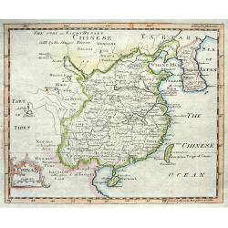
China.
Nice copper engraved map of China including Korea and Formosa (Taiwan) with much topographical detail. With an attractive title cartouche bearing also a distance scale.
Place & Date: London, c1740
Selling price: $60
Sold
Carte des Costes de Perse Guzarat et Malabar.
Uncommon edition of this accurate map showing the east coast of India, the Maldives Islands and the eastern tip of Arabia. In lower left corner a lettered key.FromAtlas P...
Place & Date: Amsterdam, 1740
Selling price: $400
Sold in 2014
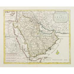
Nieuwe kaart van Arabia.
An attractive map of the Arabian Peninsula here called Gelukkig Arabia or Happy Arabia . The map has a great advance on other maps of the time by showing the true extent ...
Place & Date: Amsterdam, 1740
Selling price: $850
Sold
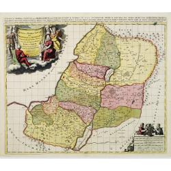
Iudae seu Terra Sancta quae Hebraeorum sive Israelitarum..
A dark impression with decorative cartouches.
Place & Date: Amsterdam, 1740
Selling price: $450
Sold in 2009
Carte de la coste d'Arabie Mer Rouge et Golfe de Perse.
With typical Rococo cartouche lower left.
Place & Date: Paris, 1740
Selling price: $160
Sold in 2021
Imperii Magni Mogolis sive Indici Padschach..
Impressive map of the Mongol Empire, including present India (except the southern tip), Pakistan, Afghanistan, parts of Burma, etc.Decorated with two colored pictorial ca...
Place & Date: Augsburg, ca 1740
Selling price: $600
Sold
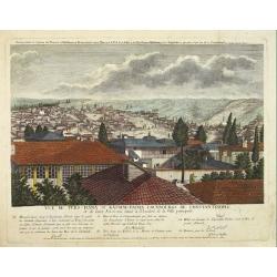
Vuë de ters=hana et Kassim=pacha, fauxbourgs de Constantinople et de leurs Environs situés à l'Orient de la Ville principale.
This rare print is the 9th sheet from an uncommon set forming a panoramic of Istanbul. Engraved by I.G.Thelot and published at the l'Academie Imperiale in Augsburg. The ...
Place & Date: Augsburg, 1740
Selling price: $500
Sold in 2008
Imperii Magni Mogolis sive Indici Padschach. . .
Impressive map of the Mongol Empire, including present India (except the southern tip), Pakistan, Afghanistan, parts of Burma, etc.Decorated with two colored pictorial ca...
Place & Date: Augsburg, ca 1740
Selling price: $550
Sold in 2011
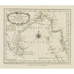
Carte du Golphe de Bengale. . .
Uncommon map of India, Ceylon and East coast of Malaysia, after J.N.Bellin. With title in Dutch in lower margin, engraved by J. van Schley. From Atlas Portatif pour serv...
Place & Date: Amsterdam, 1740
Selling price: $55
Sold in 2011
Het Koninkryk Japan, verdeelt in Acht en zestig Provintien in alle Naauwkeurigheid en Zorgvuldigheid Beschreven en uytgegeven Volgens de Oorspronkelyke Japansche Kaarten. . .
Map of Japan as well as two inset maps of Kamtschatka / Tschukotka and that Peninsula Oshima of Hokkaido. Title cartouche held by two Japanese Gods, Tossitoku and Nebis, ...
Place & Date: Amsterdam, ca 1740
Selling price: $1850
Sold in 2008
Imperii Magni Mogolis sive Indici Padschach..
Impressive map of the Mongol Empire, including present India (except the southern tip), Pakistan, Afghanistan, parts of Burma, etc.Decorated with two colored pictorial ca...
Place & Date: Augsburg, ca 1740
Selling price: $750
Sold in 2008
Carte de la Coste d'Arabie, Mer Rouge, et Golfe de Perse,...
Nice small map focusing on the Red Sea, also covering coastal areas around the Arabian Peninsula and the Persian Gulf. Jacques Bellin was Hydrographer in the French Dép�...
Place & Date: Paris, 1740
Selling price: $55
Sold in 2009
Vue de la Bastion de Gelderland, hors de la Ville Batavia.
Complete title : Vuë de la bastion de Gelderland hors de la ville Batavie [mirror-reversed] / Collection des Prospects / Prospect von der Bastion Gelderland ausserhalb d...
Place & Date: Augsburg, 1740
Selling price: $400
Sold in 2010
Nieuwe Kaart van 't Keizerrijk Japan.
Japan is still drawn in a nearly purely east-west position. At bottom right at the island of Fatsisio is mentioned: To this island the powerful men of Japan were sent Int...
Place & Date: Amsterdam, 1740
Selling price: $1000
Sold in 2009
![[10 Maps] Carte generale du Thibet ou Bout-Tan et des Pays de Kashgar et Hami Dress'ee sur les Cartes et Memoires des RR PP Jesuites de la Chine . . .](/uploads/cache/28752-250x250.jpg)

![Province de Fo-Kien. [Includes West Coast of Taiwan]](/uploads/cache/29547-250x250.jpg)
![Carte generale de la Chine. . . [together with 11 maps of Chinese provinces]](/uploads/cache/29994-250x250.jpg)














![[Lot of 2 items] Isoletta Desima Abittata Dagli Olandesi Nel Giappone / Plan du port et de la ville de Nangasaki.](/uploads/cache/84919-250x250.jpg)

