Browse Listings in Asia
Chorographia Terrae Sanctae in Angustiorem formam Redacta et ex Variis Auctoribus a Multis Erroribus Expurgata . . .
Large attractive plan of the Holy Land in east orientation. First published in Antwerp 1632. Centered a city plan of Jerusalem after Villalpando 'Hierosolymae Veteris Ima...
Place & Date: Antwerp, 1638
Selling price: $350
Sold in 2013
China Veteribus Sinarum Regio.
This was the first of Blaeu's maps of China. In 1655 he was to publish the famous map of Father Martini, with many of the earlier inaccuracies present on this map correct...
Place & Date: Paris / Amsterdam, 1638
Selling price: $1300
Sold in 2013
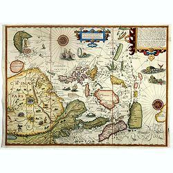
Exacta & accurata.. regionibus China, Cauchinchina, Camboja..
...the Far East and the Malay Archipelago are represented in such detail as was known only to the Portuguese at that time and had never before shown on a printed map. (S...
Place & Date: Amsterdam, 1599-1638
Selling price: $9200
Sold in 2018
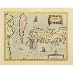
IAPONIAE Nova Descriptio.
2nd state of Hondius map. Janssonius replaced the Japanese ship with a European one. Korea shown as an island.
Place & Date: Amsterdam, 1639
Selling price: $1500
Sold in 2019
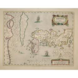
IAPONIAE Nova Descriptio.
2nd state of Hondius map. Janssonius replaced the Japanese ship with a European one.
Place & Date: Amsterdam, 1639
Selling price: $1870
Sold in 2009
Regni Chinensis Descriptio.
Lugduni Batavorum (Leiden), ex off, Elzeviriana, in-24o, (viii) + 365 pp + (9) nn pp (index), with decorative engraved title depicting a map of China and 2 woodcut costum...
Place & Date: Leiden, Elzevier,1639
Selling price: $300
Sold in 2010
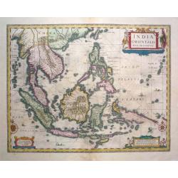
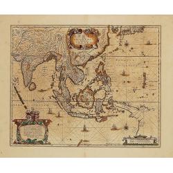
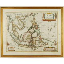
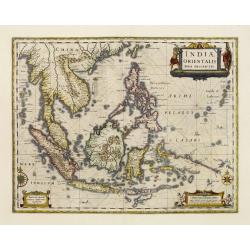
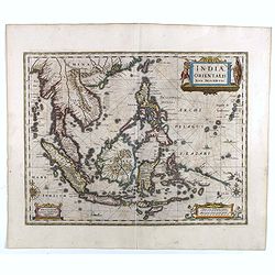
Indiae Orientalis Nova Descriptio.
From "Atlas Novus, sive theatrum orbus terrarum." Amsterdam, 1639 A.D. French text to verso.The map shows area of south east Asia with their countries of Indone...
Place & Date: Amsterdam, 1639
Selling price: $1300
Sold in 2016
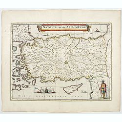
Natolia, quae olim Asia minor.
A finely designed map from the great Blaeu family of Amsterdam.
Place & Date: Amsterdam, 1640
Selling price: $600
Sold in 2008
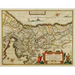
TERRA SANCTA quae in Sacris Terra Promissionis?
The Holy Land, Promised Land or Palestine. Oriented to the west. Shows the entire Palestine on both sides of the Jordan, the shore line running from Tripoli as far as the...
Place & Date: Amsterdam 1640
Selling price: $775
Sold
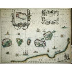
Moluccae Insulae Celeberrimae.
Nice map of the Moluccan Islands in the Indonesian Archipelago.Beautiful cartouches. Verso blanc.
Place & Date: Amsterdam, c 1640
Selling price: $300
Sold
Cyprus Insulae.
Janssonius' beautiful chart of Cyprus embellished with a very decorative title cartouche.
Place & Date: Amsterdam 1640
Selling price: $1400
Sold
China Veteribus Sinarum Regio nunc Incolis Tame dicta.
Elegant 17th century map of China and Japan. The map is closely modelled on Janssonius' map of 1633. The detail includes the eastern part of China (bounded in the west by...
Place & Date: Amsterdam 1640
Selling price: $1050
Sold
Cyprus Insulae.
Janssonius' beautiful map of Cyprus embellished with a very decorative title cartouche.
Place & Date: Amsterdam, 1640
Selling price: $1800
Sold in 2008
China Veteribus Sinarum Regio.
Based on Jesuit surveys, the map represents the next major revision in the cartography of China after Ortelius' 1584 map. Korea, however, is still an island, and Japan co...
Place & Date: Amsterdam 1640
Selling price: $1050
Sold
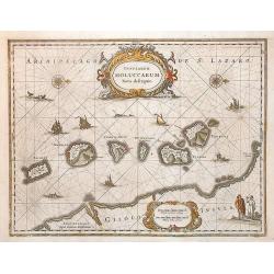
Insularum Moluccarum Nova descriptio.
Exquisite map of the famous Spice Islands based on the islands described by Jan Huyghen van Linschoten. This map was the first large scale map of the region and depicts t...
Place & Date: Amsterdam, 1640
Selling price: $400
Sold
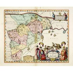
Pecheli sive Peking imperii sinarum provincia prima.
The map of the province of Peking from Joan Blaeu's Novus Atlas Sinensis , the first atlas of china with maps by the hand of the Italian Jesuit Martino Martini. A beautif...
Place & Date: Amsterdam, 1640
Selling price: $1400
Sold
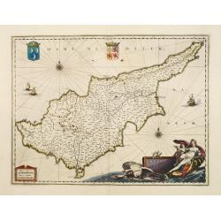
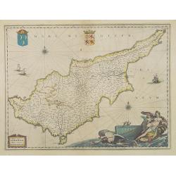
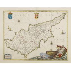
Cyprus Insula.
Blaeu's beautiful map of Cyprus embellished with a very decorative title cartouche, a scale cartouche, two coats of arms, two wind roses and three sailing ships.With &quo...
Place & Date: Amsterdam, 1640
Selling price: $1600
Sold
Byzantium nunc Constantinopolis.
One of the finest and most sought-after views of Istanbul. Viewed from the village of Scutari, the City is shown with all its fortifications, the original Genouse distric...
Place & Date: Amsterdam, 1640
Selling price: $3000
Sold in 2008
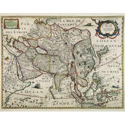
Carte de l' Asie. . . Didiée a Maitre Pierre Petit. . .
Rare map of Asia, with the address of Michel van Lochom, dated 1640.The map is of interest for the dual-naming of the sea between Korea and Japan, here called "MER D...
Place & Date: Paris, c. 1640
Selling price: $4500
Sold in 2015
Insularum Moluccarum Nova descriptio.
The small spice islands off the west coast of the island of Halmahera in the eastern part of the archipelago. With an imposing title cartouche, together with finely drawn...
Place & Date: Amsterdam, 1640
Selling price: $445
Sold in 2009
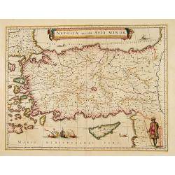
Natolia, quae olim Asia minor. [shows Cyprus]
A finely designed map from the great Blaeu family of Amsterdam. Decorative map of Asia Minor, showing Cyprus and the Islands in the Aegean. Embellished with a banner cart...
Place & Date: Amsterdam, 1640
Selling price: $140
Sold in 2010
Asia Nova Descriptio.
A very fine and decorative example of early seventeenth century map engraving as practiced in The Netherlands. Several sources appear to have been used in the compilation...
Place & Date: Amsterdam, 1606 -1640
Selling price: $1000
Sold in 2012
Asia noviter delineata.
Superb engraved map of Asia with Latin text on verso. This magnificent “cornerstone” map is a fine example of the famous “carte-a-figures” maps created by the Bla...
Place & Date: Amsterdam, ca 1640
Selling price: $3400
Sold in 2012
Pecheli sive Peking imperii sinarum provincia prima.
The map of the province of Peking from Joan Blaeu's Novus Atlas Sinensis , the first atlas of china with maps by the hand of the Italian Jesuit Martino Martini. A beautif...
Place & Date: Amsterdam, 1640
Selling price: $1200
Sold in 2013
Pecheli sive Peking imperii sinarum provincia prima.
The map of the province of Peking from Joan Blaeu's Novus Atlas Sinensis , the first atlas of china with maps by the hand of the Italian Jesuit Martino Martini. A beautif...
Place & Date: Amsterdam, 1640
Selling price: $2700
Sold in 2013
Pecheli sive Peking imperii sinarum provincia prima.
The map of the province of Peking from Joan Blaeu's Novus Atlas Sinensis , the first atlas of china with maps by the hand of the Italian Jesuit Martino Martini. A beautif...
Place & Date: Amsterdam, 1640
Selling price: $1800
Sold in 2015
Insularum Moluccarum Nova descriptio.
Exquisite map of the famous Spice Islands based on the islands described by Jan Huyghen van Linschoten. This map was the first large scale map of the region and depicts t...
Place & Date: Amsterdam, 1640
Selling price: $280
Sold in 2017
Moluccae Insulae Celeberrimae.
This plate was originally engraved in the 1620, and published as a loose-sheet by Jodocus Hondius II. At his death in August 1629 this map was, among 39 other copper plat...
Place & Date: Amsterdam, 1640
Selling price: $190
Sold in 2017
Insularum Moluccarum Nova descriptio.
Exquisite map of the famous Spice Islands based on the islands described by Jan Huyghen van Linschoten.This map was the first large scale map of the region and depicts th...
Place & Date: Amsterdam, 1640
Selling price: $400
Sold in 2020
Persia sive Sophorum Regnum.
Merian's decorative and detailed map of Persia, Saudi Arabia, Turkey, the Arab States, the Strait of Hormuz, the Caspian Sea, and extending until the Indus River.
Place & Date: Frankfurt, ca. 1640
Selling price: $40
Sold in 2018
Insularum Moluccarum Nova descriptio.
Exquisite map of the famous Spice Islands based on the islands described by Jan Huyghen van Linschoten.This map was the first large scale map of the region and depicts th...
Place & Date: Amsterdam, 1640
Selling price: $130
Sold in 2018
Insula Zeilan olim Taprobana nunc incolis tenarisim.
Janssonius' map of Sri Lanka. Including many VOC settlements and forts, several major town marked with a crown. Very decorative item with two large title and scale cartou...
Place & Date: Amsterdam, 1640
Selling price: $600
Sold in 2020
Moluccae Insulae Celeberrimae.
This plate was originally engraved in the 1620, and published as a loose-sheet by Jodocus Hondius II. At his death in August 1629 this map was, among 39 other copper plat...
Place & Date: Amsterdam, 1640
Selling price: $70
Sold in 2020
China Veteribus Sinarum Regio nunc Incolis Tame dicta
Willem and Johan Blaeu's map of China, with Japan and Korea. With the Great Wall forming the northern boundary of China and the fictitious lake Chiamay.Title in a cartouc...
Place & Date: Amsterdam, ca. 1640
Selling price: $625
Sold in 2023
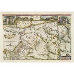
De gelegenheyt van t'paradys ende t'landt van Canaan. . .
Very attractive map, showing the location of Paradise. Two vignettes depict the Temptation of Adam and Eve, and their Expulsion from the Garden of Eden.
Place & Date: Amsterdam, 1642
Selling price: $350
Sold in 2017
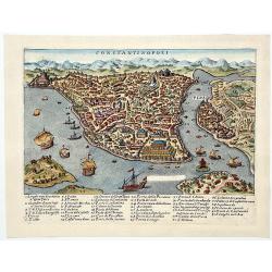
CONSTANTINOPOLI.
A beautiful hand-colored copperplate birds-eye view/map showing Istanbul/Constantinople, with a chart with numbered places-names. Showing multiple ships and buildings. An...
Place & Date: Venice, 1642
Selling price: $170
Sold in 2019
Tabula Geographica, in qua regiones Cananaeae, et locorum situs. . .
This is the second state of the Petrus Plancius bible map. D.R.M. Mathes , whose identity we don't really know (Doctor Rudolf Mercator, Mathematicus ??), made minimal cha...
Place & Date: Amsterdam, 1643
Selling price: $600
Sold in 2010
Waerachtige beschryvinge vande wydvermaerde Conincklicke Hooft Stadt Jerusalem.
Engraved by Baptista van Doetechum for a bible printed by Jan Everts Cloppenburg. The bible maps of 1590 are the earliest of Plancius compilations to survive.Very rare pl...
Place & Date: Amsterdam, 1643
Selling price: $1350
Sold in 2022
India quae Orientalis dicitur...
Map of South East Asia showing the area between India in the West and parts of Japan, the Marianas and New Guinea/Australia in the East. Copper engraving in original colo...
Place & Date: Amsterdam, c. 1644
Selling price: $800
Sold in 2014
Natoliae Quae Olim Asia Minor.
Blaeu's decorative map of Asia Minor, showing Turkey, Cyprus and the Islands in the Aegean.This attractive map shows all of Turkey, Cyprus and the Aegean Islands to a rel...
Place & Date: Amsterdam, 1644
Selling price: $300
Sold in 2016
Persia sive Sophorum Regnum.
A finely designed map from the great Blaeu family of Amsterdam. With decorative title cartouche. The cartouches and decorations are colored artistically.There are very g...
Place & Date: Amsterdam, 1644
Selling price: $500
Sold in 2021
Natolia, quae olim Asia minor.
A finely designed map of Turkey and Cyprus from the great Blaeu family of Amsterdam.As Willem Blaeu died in 1638 most of his maps are actually published by his son Joan. ...
Place & Date: Amsterdam, 1644
Selling price: $300
Sold in 2023
Asia recens Summa cura delineata.
Very rare map of Asia separately published. Derivative map by Picart of Hondius' rare separately issued map of 1618, with the lower panels removed. Surrounded with three ...
Place & Date: Paris, 1644
Selling price: $3000
Sold in 2023
Indiae Orientalis nova descriptio.
An important map of South East Asia, noteworthy for being amongst the first maps to include any information on the discoveries made by the Dutch vessel Duyfkens in New Gu...
Place & Date: Amsterdam 1645
Selling price: $780
Sold
Indiae Orientalis nova descriptio.
An important map of South East Asia, noteworthy for being amongst the first maps to include any information on the discoveries made by the Dutch vessel Duyfkens in New Gu...
Place & Date: Amsterdam 1645
Selling price: $755
Sold
Insularum Moluccarum Nova descriptio - Amstelodami, Apud Ioannem Ianßonium.
Shows the islands Moluccas of Indonesia. Very decorative map.
Place & Date: Amsterdam, 1645
Selling price: $450
Sold in 2013
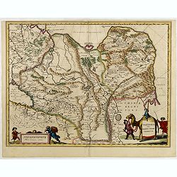
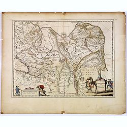
Tartaria sive Magni Chami imperium.
Detailed and decorative map of Tartary [i.e. Mongolia and Siberia] which is annotated with the major cities and towns of the region. Chinae Regni Pars [i.e. China] is sho...
Place & Date: Amsterdam, 1645
Selling price: $600
Sold in 2010
Tartaria sive Magni Chami Imperium.
Detailed and decorative map of Tartary and Northern part of China. Northern tip of Korea included. The Chinese Great Wall is depicted, with Central Asia, extending from M...
Place & Date: Amsterdam, 1645
Selling price: $480
Sold in 2010
Tartariae sive Magni Chami Imperium.
Fine map of Tartary, including northern part of China, and tip of Korea.
Place & Date: Amsterdam, 1645
Selling price: $150
Sold in 2015
Tartaria sive Magni Chami Imperium.
A detailed and decorative map of Tartary and the northern part of China. The very northern tip of Korea included. The Chinese Great Wall is depicted, with Central Asia, e...
Place & Date: Amsterdam, 1645
Selling price: $70
Sold in 2018
Indiae Orientalis nova descriptio.
An important map of South East Asia, noteworthy for being amongst the first maps to include any information on the discoveries made by the Dutch vessel Duyfkens in New Gu...
Place & Date: Amsterdam, 1645
Selling price: $1500
Sold in 2021
Asia Noviter Delineata.
A superb Carte-à-figures of Asia, adorned with five vignettes on either side which depict natives in mufti, and 9 small views of cities at the top, incl. Calcutta, Goa, ...
Place & Date: Amsterdam, ca. 1645
Selling price: $1340
Sold in 2020
Turkey - Maltese Order, - OSMAN FILS D'IBRAHIM EMPEREUR DES TURCS
Fine antique copper engraving with the portraits of Osman, son of Emperor/Sultan Ibrahim, and of his mother ,an Imperial Concubine. With engraved explanatory text ,in dec...
Place & Date: Paris, 1645
Selling price: $600
Sold in 2022
Asia carta di ciasete piu moderna. (Japan)
Rare Japan map of the Blancus/Moreira type. The place names follow Ginnaro, though he invented numerous additional imaginative names. From the first edition of hisDell'Ar...
Place & Date: Florence 1646
Selling price: $4075
Sold
De heylige en wytvermaerde stadt Jerusalem.
Imaginary plan of ancient Jerusalem with all the principal sites numbered and keyed to a table at bottom. Shows the city with the Second Temple and Herrod's Castle and th...
Place & Date: Amsterdam 1646
Selling price: $400
Sold
Goa
Beautiful birdeye view of Goa in India from Matthaus Merian. Showing the city at the beginning of the 17th century with many ships in the harbour and a cartouche describi...
Place & Date: Frankfurt, 1646
Selling price: $140
Sold in 2009
Palestinae sive Terrae Sanctae quae et Promissionis Nova Tabula ad SS. Bibliorum Intelligentiam Delineata ex Christiano Adrichomio collecta
A uncommon map of the Holy Land, based on Christian von Adrichem's two-sheet map of 1590. This map shows the shoreline from Sidon to Alexandria, and includes the mouth of...
Place & Date: Paris, 1646
Selling price: $350
Sold in 2010
Descriptio terrarum in quasdispersi sunt structores turris Babel.
SCARCE early map of the Mediterranean, the Middle East, and northern Africa. Many areas and coast lines distorted! The Near East is highly detailed with numerous ancient ...
Place & Date: Amsterdam, after1646
Selling price: $220
Sold in 2015
Asia.
This lovely miniature map of the continent of Asia is a single page with text on verso taken from John Speed's folio atlas, and is signed with Van den Keere's Latinized n...
Place & Date: London, 1646
Selling price: $100
Sold in 2020
GOA.
This southern oriented map depicts the Portuguese colony of Goa, which is situated on the west coast of India and was a key port of trade for merchants. The map is very d...
Place & Date: Frankfurt, ca. 1646
Selling price: $285
Sold in 2020
Turcicum Imperium.
A very handsome map with a particularly fine cartouche showing the Turkish Sultan on his throne and allegorical figures at either side brandishing weapons. At right is a ...
Place & Date: Amsterdam 1647
Selling price: $625
Sold
Magni Mogolis Imperium.
An attractive map of northern India and Central Asia bounded by Pakistan, Afganistan and Bangladesh and extening inland up the Ganges and Indus Rivers to Tartary and the ...
Place & Date: Amsterdam, 1647
Selling price: $300
Sold
Magni Mogolis Imperium.
An attractive map of northern India and Central Asia bounded by Pakistan, Afghanistan and Bangladesh and extending inland up the Ganges and Indus Rivers to Tartary and th...
Place & Date: Amsterdam, 1647
Selling price: $375
Sold in 2012
Vera Delineatio Prouinciae Fertilissimae . . .
Detailed map of the Southern Caspian Sea, showing the area north of Tehran. From the rare first edition "Offt begehrte Beschreibung der newen orientalischen Rejse, s...
Place & Date: Schleßwig, Zur Glocken, 1647
Selling price: $400
Sold in 2021
[ Lot of 3 items of the Holy Land] Perigrinatie ofte Veertich-jarige Reyse, Der Kinderen Israels.
The rare ' Wandering Children Israel ' map by Jacob Savry from a Dutch bible. Right bottom 3 vignettes with the Camp Israel, Vessels of the Temple and a priest. Above the...
Place & Date: Amsterdam, 1647
Selling price: $180
Sold in 2023
Geographische beschryvinge van de Wandeling der apostelen ende reysen van Pauli.
Finely engraved detailed map covering the whole of the eastern Mediterranean. Showing the travels of the apostles after the death of Christ, with episodes from the life o...
Place & Date: Amsterdam 1648
Selling price: $275
Sold
De Heylige en Wytvermaerde Stadt Ierusalem Eerst Genaemt Salem
Very attractive bird's-eye view of Jerusalem, showing the city laid out in blocks with 36 important buildings identified by name through a key index. In the foreground ar...
Place & Date: Amsterdam 1648
Selling price: $325
Sold
Geographische beschryvinge van de Wandeling der Apostelen ende de Reysen van Pauli.
Finely engraved detailed "carte à figures"- map covering the whole of the eastern Mediterranean. Showing the travels of the apostles after the death of Christ,...
Place & Date: Amsterdam, 1648
Selling price: $550
Sold
Cyprus.
Detailed miniature map of Cyprus, from a German text edition of his Atlas Minor. Engraved by Petrus Kaerius.
Place & Date: Amsterdam (1628) 1648
Selling price: $365
Sold
Iaponia et Terra Eso.
Detailed miniature map of Japan with Korea as an island, from a German text edition of his Atlas Minor. Engraved by Petrus Kaerius.
Place & Date: Amsterdam (1628) 1648
Selling price: $160
Sold
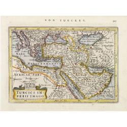
Turcici Imperii Imago.
Detailed miniature map illustrating the Ottoman Empire, the Mediterranean Sea, northern Africa, the Holy Land and Arabia, from a German text edition of his Atlas Minor. E...
Place & Date: Amsterdam (1628) 1648
Selling price: $195
Sold
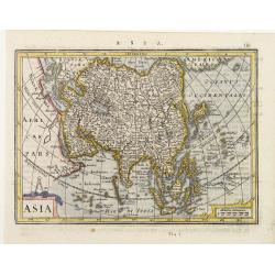
Asia.
Detailed miniature map of Asia, from a German text edition of his Atlas Minor. Engraved by A. Goos.
Place & Date: Amsterdam (1628) 1648
Selling price: $80
Sold
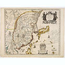
China.
Detailed miniature map of the eastern part of China, from a German text edition of his Atlas Minor. Engraved by Petrus Kaerius.
Place & Date: Amsterdam (1628) 1648
Selling price: $190
Sold
Geographische beschrijvinge van 'T Beloofde-Landt Canaan..
Fine map of Israel with north oriented to the left. Decorative title cartouche at bottom and an inset picture of the crucifixion in the left top corner. Tiny ships sail i...
Place & Date: Amsterdam, 1648
Selling price: $300
Sold
De Gelegentheyt van 't Paradys Ende 't Landt Canaan..
Uncommon issue of this very attractive map, showing the location of Paradise. Two vignettes depict the Temptation of Adam and Eve, and their Expulsion from the Garden of ...
Place & Date: Amsterdam, 1648
Selling price: $500
Sold in 2008
Geographische Beschryvinge van t'Beloofde-Landt Canaan, door Wandelt van onsen Heere ende Salichmaecker Iesu Christo nessens syne Apostelen van nieus gecorigeert ende seer verbetert door Iacob Savery Ao 1648
Fine Bible map of the Holy Land by or after Visscher. Highly detailed with numerous place names, rivers, mountains, and regions. The sea is filled with fishing boats, th...
Place & Date: Amsterdam, 1648
Selling price: $125
Sold in 2014
Perigrinatie ofte Veertich-jarige Reyse der Kinderen Israels.
Dutch so-called "Staten-bibles," published between 1637 and c. 1760, contained five maps: The World, "Paradise," The Peregrinations, The Promised Land...
Place & Date: Dordrecht, 1648
Selling price: $200
Sold in 2019
Asia.
Charming map of Asia. The west coast of New Guinea is exaggerated. Engraved by Abraham Goos, with his signature. From the Mercator Hondius “Atlas Minor” published in ...
Place & Date: Amsterdam, 1648
Selling price: $250
Sold in 2017
Magni Mogolis Imperium.
A most attractive map of northern India and Central Asia.
Place & Date: Amsterdam, 1639-1649
Selling price: $185
Sold in 2014
Magni Mogolis Imperium.
A most attractive map of northern India and Central Asia.
Place & Date: Amsterdam, 1650
Selling price: $150
Sold






![Natolia, quae olim Asia minor. [shows Cyprus]](/uploads/cache/29288-250x250.jpg)













![[ Lot of 3 items of the Holy Land] Perigrinatie ofte Veertich-jarige Reyse, Der Kinderen Israels.](/uploads/cache/86347-250x250.jpg)


