Browse Listings in America > South America
Carte Carte du Perou ou se trouvent les Audiences de Quito, Lima et la Plata.
Jean Lattré, Paris-based engraver and publisher. Worked with Robert de Vaugondy, J. Janvier and R. Bonne. " Atlas Monderne', 1771, 1783 , 1793. Rigobert Bonne (1727...
Place & Date: Paris, 1783
Selling price: $70
Sold in 2019
Carte du Perou ou se trouvent les Audiences de Quito, Lima et la Plata..
Attractive map centered on Peru, covering the northern half of the South American Pacific coast, from Ecuador to northern Chili.Boundaries outlined in hand color. Large o...
Place & Date: Paris, ca 1783
Selling price: $60
Sold in 2012
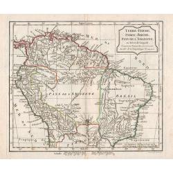
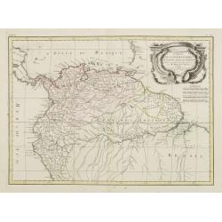
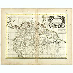
Carte de la Terre Ferme, de la Guyane et du Pays des Amazones..
Attractive map centered on the Amazon drainage basin, covering the northern part of South America. Ornated with a rococo title cartouche. Boundaries outlined in hand colo...
Place & Date: Paris, ca 1783
Selling price: $65
Sold
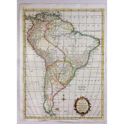
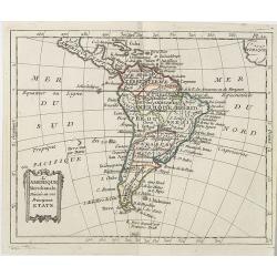
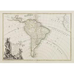
L' Amerique Meridionale divisée en ses principaux Etats..
Attractive map of South America, ornated with a decorative title cartouche. Boundaries outlined in hand color.Prepared by Le Sieur Janvier, Jean denis [Robert], French ge...
Place & Date: Paris, ca 1783
Selling price: $100
Sold in 2012
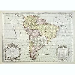
Amerique Meridionale divisée en ses principales parties ou sont distingués les uns des autres LES ETATS SUIVANTS qu'ils appartiennent presentement aux FRANCOIS, CASTILLANS, PORTUGAIS HOLLANDOIS etc. . .
Large map of South America, by Hubert Jaillot after Nicolas Sanson and updated by Desnos.
Place & Date: Paris, after 1783
Selling price: $140
Sold in 2011
Carte de la Terre Ferme de la Guyane et du Pays des Amazones . . .
Attractive map of Guyana and Amazonia, ornated with a decorative title cartouche. Boundaries outlined in hand color.Prepared by Le Sieur Janvier, Jean Denis [Robert], Fre...
Place & Date: Paris, ca 1783
Selling price: $22
Sold in 2019
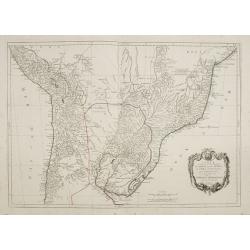
Carte du Paraguay et partie des Pays adjacants . . .
Attractive map of Paraguay and close countries.
Place & Date: Paris, ca 1783
Selling price: $16
Sold in 2019
Carte du Perou ou se trouvent les audiences de Quito, Lima et la Plata . .
Attractive map of Peru, ornated with a decorative title cartouche. Boundaries outlined in hand color.Prepared by Le Sieur Janvier, Jean Denis [Robert], French geographer ...
Place & Date: Paris, ca 1783
Selling price: $31
Sold in 2019
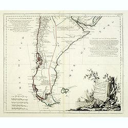
Carte du Chili Méridional, du Rio de la Plata, des Patagons, et du Détroit de Magellan. . .
Finely and crisply engraved map representing the southern tip of South America. It extends northwards as far as the river de la Plata estuary.Venetian edition of d\'Anvil...
Place & Date: Venice, 1776 - 1784
Selling price: $500
Sold in 2008
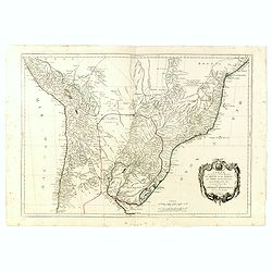
Carte qui représente la Partie Méridionale du Brésil et du Perou..
Finely and crisply engraved map representing the central part of South America, including part of Brazil, Chile and Peru as well as Uruguay and Paraguay.It covers the Atl...
Place & Date: Venice, 1776 - 1784
Selling price: $300
Sold in 2009
Carte du Chili Méridional, du Rio de la Plata, des Patagons, et du Détroit de Magellan. . .
Finely and crisply engraved map representing the southern tip of South America. It extends northwards as far as the river de la Plata estuary.Venetian edition of d'Anvill...
Place & Date: Venice, 1776 - 1784
Selling price: $450
Sold in 2012
Carte qui représente la Partie Méridionale du Brésil et du Perou..
Finely and crisply engraved map representing the central part of South America, including part of Brazil, Chile and Peru as well as Uruguay and Paraguay.It covers the Atl...
Place & Date: Venice, 1776 - 1784
Selling price: $275
Sold in 2015
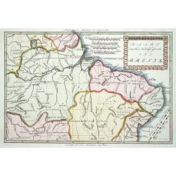
Kaart van het Noordlijk gedeelte van Bresil.
Uncommon and attractive map of most of Brazil. The directions of the trade winds are shown. Very nice detail of the river systems, mines, forts, missions, and villages. A...
Place & Date: Amsterdam 1785
Selling price: $150
Sold
Kaart van Peru, Met een gedeelte van de Landen ten oosten gelegen.
Willem Albert Bachiene (1712-1783), Dutch geographer in Maastricht. Most important work ' Heilige Geographie', a work on the Holy Land. Mathijs Schalenkamp published in 1...
Place & Date: Amsterdam, 1785
Selling price: $100
Sold in 2008
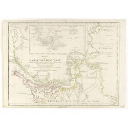
Karte der Magellanischen-Strasse. . .
Very detailed map of Strait of Magellan, with in top inset map of Southern tip of South America with the Falklands. Incorporating the discoveries of Herrn, Byron, Wallis,...
Place & Date: Vienna, 1787
Selling price: $300
Sold in 2017
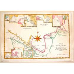
Detroit de Magellan.
A detailed engraved chart of the Straits of Magellan (between South America and Terra del Fuego), showing the best route through the dangerous straits. With 16 separate i...
Place & Date: Paris, 1787
Selling price: $71
Sold in 2014
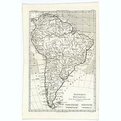
Amérique Méridionale.
A fine map of the South American continent, prepared by R.Bonne and included in his Atlas Encyclopédique. Plenty of good map detail, including hills, mountains, rivers p...
Place & Date: Paris, 1787
Selling price: $25
Sold in 2020
Karte der Magellanischen Strasse.
Full title at center of the map: 'Karte der Magellanischen Strasse von Herrn Don Juan de la Cruz Canoy Olmedillo. Und nach den Beobachtungen der Herrn Byron, Wallis, Cart...
Place & Date: Wien, 1787
Selling price: $250
Sold in 2021
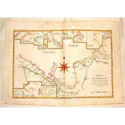
Detroit de Magellan avec les Plans des Pricipaux, Ports, Baves & de ce Detroit.
Interesting hand-colored, copperplate map of The Straits of Magellanshowing the direction of the currents, bays, points, soundings, harbours, islands, shoals etc. Large c...
Place & Date: Paris, 1788
Selling price: $17
Sold in 2015
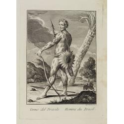
Uomo del Brasile. / Homme du Brasil.
Full portrait of a Brazilian hunter. From "Raccolta di ? stampe." a series of historically significant eighteenth-century copper plate engravings by Venetian en...
Place & Date: Venice, Antonio Zatta, c.1790
Selling price: $300
Sold in 2013
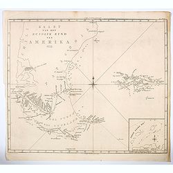
Kaart van het Zuidlyk Eind van Amerika. 1775.
An uncommon Dutch chart of the tip of South America, showing Patagonia, Tierra del Fuego and the Falkland Islands. With an inset of Staaten Land in the lower right corner...
Place & Date: Amsterdam ca 1790
Selling price: $175
Sold in 2020
[Lot of 11 maps of the Strait of Magellan] Carte du detroit de Magellan avec les Routes de la Bodeuse et de l'Etoile.
Carte du Detroit de Magellan avec les Routes de la Bodeuse et de l'Etoile taken by the French discoverer Comte de Bougainvile, L.A. With in addition 10 maps / prints of...
Place & Date: Paris, c. 1790
Selling price: $258
Sold in 2022
Paraguay and Tucuman.
Uncommon miniature map from Gibson's "Atlas Minimus, or a New Set of Pocket Maps of the several Empires, Kingdoms and States of the known World".
Place & Date: London, 1792
Selling price: $65
Sold in 2011
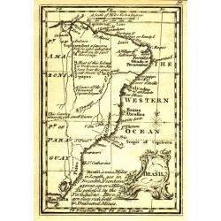
Brasil.
Uncommon miniature map from Gibson's "Atlas Minimus, or a New Set of Pocket Maps of the several Empires, Kingdoms and States of the known World".
Place & Date: London, 1792
Selling price: $30
Sold in 2011
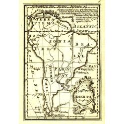
South America.
Uncommon miniature map from Gibson's "Atlas Minimus, or a New Set of Pocket Maps of the several Empires, Kingdoms and States of the known World".
Place & Date: London, 1792
Selling price: $45
Sold in 2011
Peru.
Uncommon miniature map from Gibson's "Atlas Minimus, or a New Set of Pocket Maps of the several Empires, Kingdoms and States of the known World".
Place & Date: London, 1792
Selling price: $35
Sold
Il Chili lo Stretto Magellanico coll' Isola della Terra del Fuoco.
A finely engraved copper plate map that covers Chili and most of Argentina. Good detail of the region around Buenos Ayres and the Rio de la Plata. Santiago here is named ...
Place & Date: Venise 1794
Selling price: $80
Sold
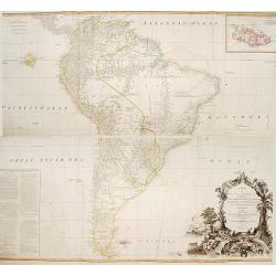
A map of South America containing Terra-Firma.. Brasil.. Patagonia..
A large wall map of south America. Impressive title cartouche lower right and a large text block lower left : "Division of South America with a summary account of it...
Place & Date: London,1794
Selling price: $850
Sold in 2013
Il Chili lo Stretto Magellanico coll' Isola della Terra del Fuoco.
A finely engraved copper plate map that covers Chili and most of Argentina. Good detail of the region around Buenos Ayres and the Rio de la Plata. Santiago here is named ...
Place & Date: Venise, 1794
Selling price: $60
Sold in 2009
Il Chili lo Stretto Magellanico coll' Isola della Terra del Fuoco.
A finely engraved copper plate map that covers Chili and most of Argentina. Good detail of the region around Buenos Ayres and the Rio de la Plata. Santiago here is named ...
Place & Date: Venise, 1794
Selling price: $170
Sold in 2011
Canal de Noël sur la côte S.O. de la Terre de Feu.
A simple map of Christmas Sound from James Cook’s voyages. Cook reached Christmas Sound near Tierra del Fuego on 25th & 26th December 1774, returning to England on ...
Place & Date: London, 1794
Selling price: $24
Sold in 2016
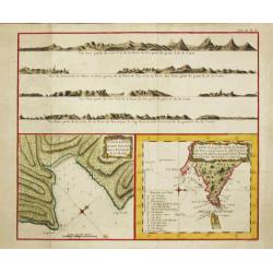
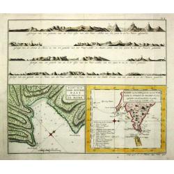
Carte de la Baye du Bon Succès dans le Détroit de le Maire./ Carte de la partie S.E. de la Terre de Feu comprenant le Détroit de le Maire et une part.ie de la Terre des Etats. 1769.
Captain James Cook (1728-79), explorer, circumnavigator and hydrographer. Three voyages, 1768-71, 1772-75 and 1776-79. From 1778 on printed editions of ' Captain Cook's T...
Place & Date: Paris, c. 1795
Selling price: $210
Sold
Il Paraguai Uraguai e Rio della Plata.
A finely engraved copper plate map that covers Paraguay, Uruguay and part of the contiguous countries. Good detail of the region around Buenos Ayres and the Rio de la Pla...
Place & Date: Venise 1795
Selling price: $80
Sold
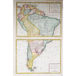
Iere / II Feuille de L' Amérique Méridionale
Louis Brion de la Tour (1756-1823), French geographer. ' Atlas Géneral, Civil et Ecclésiastique', 1766, ' Atlas Général', 1790-98.A map of South America on 2 sheets.
Place & Date: Paris, c. 1795
Selling price: $145
Sold
Carte de la Baye du Bon Succès dans le Détroit de le Maire./ Carte de la partie S.E. de la Terre de Feu comprenant le Détroit de le Maire et une part.ie de la Terre des Etats. 1769.
Captain James Cook (1728-79), explorer, circumnavigator and hydrographer. Three voyages, 1768-71, 1772-75 and 1776-79. From 1778 on printed editions of ' Captain Cook's T...
Place & Date: Paris, c. 1795
Selling price: $150
Sold in 2010
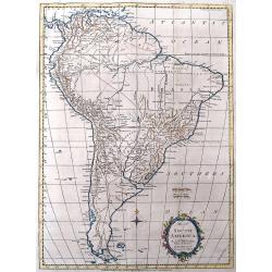
Map of South America.
Interesting map of South America. Features large blank areas inside Brazil and Argentina, but also a lot of details and place names along the coasts and rivers. Names als...
Place & Date: London, 1795
Selling price: $25
Sold in 2016
Map of South America.
A map of South America for the Rev. Dr. Robertson's “History of America” by Thos. Kitchin, 'Hydrographer to his Majesty'. It features a decorative floral title cartou...
Place & Date: London, 1795
Selling price: $48
Sold in 2020
Map of the Countries of the South Sea from Panama to Guayquil.
A striking map of Central America, including Columbia, Ecuador, Panama, the New Kingdom of Granada and Quito. From Dr. Robertson's 'History of America'.Thomas Kitchin (17...
Place & Date: London, 1795
Selling price: $35
Sold in 2018
Paysans Peruviens.
Hand-colored mezzotints of Native Americans drawn by Labrousse and engraved by Laroque after Jacques Grasset de Saint-Sauveur.
Place & Date: Paris,1796
Selling price: $25
Sold in 2010
Paysannes du Pérou.
Hand-colored mezzotints of Native Americans drawn by Labrousse and engraved by Laroque after Jacques Grasset de Saint-Sauveur.
Place & Date: Paris,1796
Selling price: $25
Sold in 2010
Guerriers Peruviens, Ancien et Moderne.
Hand-colored mezzotints of Native Americans drawn by Labrousse and engraved by Laroque after Jacques Grasset de Saint-Sauveur.
Place & Date: Paris,1796
Selling price: $25
Sold in 2010
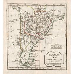
Paraguay, Chili, Terre Magellan.
Map of the southern part of South America.
Place & Date: Paris, 1796
Selling price: $105
Sold in 2012
Terre-Ferme, Perou, Brésil, Pays de l\'Amazone.
Map of the northern part of South America.
Place & Date: Paris, 1796
Selling price: $45
Sold in 2012
Le Paraguay.
Nice small map covering the basin drained by the main tributaries of the Río de la Plata (the Uruguay and Paraná, and the important Paraná...
Place & Date: Paris, 1799
Selling price: $80
Sold in 2009
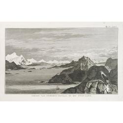
GEZIGT VAN KERSMIS-KANAAL OP HET VUUR-LAND . Pl. LXX*.
A landscape and sea coast view of mountains and a ship in the Strait of Magellan. From a Dutch edition of James Cook.
Place & Date: Amsterdam, ca. 1800
Selling price: $45
Sold in 2010
Die Stadt Carthagena in West Indien.
Panoramic view of the town of Cartagena in present-day Colombia, with a variety of boats and ships who dominate the foreground with the town and its surroundings depicted...
Place & Date: Zittau, 1798 - 1800
Selling price: $525
Sold in 2013
Kaart van de Good Success Baai in de Straat van le Maire. / Kaart van het Z.O.gedeelte van het Vuurland de Straat Le Maire en een gedeelte van Staaten-Land 1769.
Captain James Cook (1728-79), explorer, circumnavigator and hydrographer. Three voyages, 1768-71, 1772-75 and 1776-79. From 1778 on printed editions of ' Captain Cook's T...
Place & Date: Leiden, 1795-1803
Selling price: $95
Sold in 2018
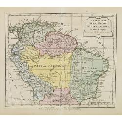
Terre-Ferme, Perou, Brésil, Pays de l'Amazone.
Map of northern half of South America, with Peru, Venezuela, Guyane and Brazil. By C. F. Delamarche, successor of Robert de Vaugondy, Geographer. Uncommon later edition, ...
Place & Date: Paris, ca.1806
Selling price: $85
Sold in 2013
L'Amérique Méridionale . . .
Map of the South American continent, from Atlas moderne portatif composé de vingt-huit cartes sur toutes les parties du globe terrestre .. A l'usage des Colléges, des P...
Place & Date: Paris, Prudhomme, Levrault, Debray, 1806
Selling price: $80
Sold in 2019
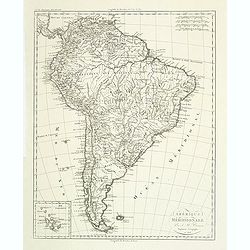
Amérique méridionale. . .
Detailed map of South of America. Includes a cartouche for the Galapagos island.Jean Baptiste Poirson (1760-1831) was a French geographer and engineer.
Place & Date: Paris, 1808
Selling price: $30
Sold in 2011
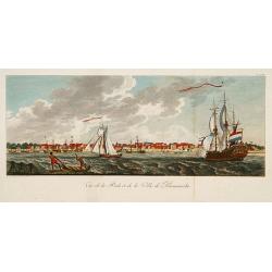
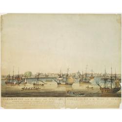
Vue de la Rade et de la Ville de Paramaribo.
A very decorative panoramic view of the town with a large Dutch vessel in the foreground.
Place & Date: Paris 1810
Selling price: $280
Sold
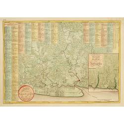
Kaart van het bebouwde gedeelte van Suriname.
With inset map of general Suriname. Scarce map covering the area of Paramaribo. 751 Plantation identified to key panels at top and left of the sheet.
Place & Date: Amsterdam, 1810
Selling price: $750
Sold in 2013
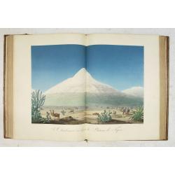
Vues des Cordillères et Monuments des Peuples Indigènes de l Amérique. . .
The book describes the travels of Alexander Humbolt together with the botanist Aime Bonpland in 1799 via Tenerife to Venezuela, through the Orinoco area and through Colom...
Place & Date: Paris, [de l'imprimerie de J.H. Stône] chez F. Schoell, 1810
Selling price: $30000
Sold
Paraguay, Chili, Terre Magellan. . .
An antique copper engraved map, published 1795, in Paris for the "Nouvel Atlas Portatif..." by Robert de Vaugondy & Charles Francois Delamarche.
Place & Date: Paris, ca. 1811
Selling price: $80
Sold in 2016
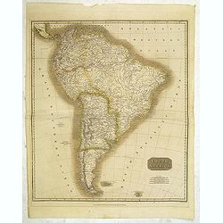
South America.
Map of South America by the Edinburg cartographer John Tomson. Hand colored. Relief shown by hachures.John Thomson was one of the leading masters of the Edinburgh school ...
Place & Date: Edinburgh, London, 1814
Selling price: $65
Sold in 2012
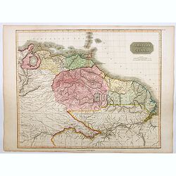
Caraccas and Guiana.
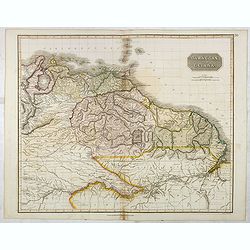
An attractive and very detailed map of Venezuela and Guiana, extending from Martinique in the north as far south northern Brazil, westwards to Lake Maracaibo across to th...
Place & Date: Edinburgh, 1815
Selling price: $45
Sold in 2023
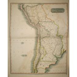
Peru, Chili and La Plata.
The Peru, Chile, and Argentina (La Plata, not including Magellanica), from Thomson's New General Atlas.
Place & Date: Edinburgh, 1816
Selling price: $200
Sold in 2009
Peru, Chili and La Plata.
A handsome map of part of South America including Peru, Chile and La Plata (which currently includes most of Paraquay, Uruguay and Bolivia and North Argentina. John Thom...
Place & Date: Edinbourgh, 1816
Selling price: $90
Sold in 2015
Paramaribo aan de Rivier van Suriname.
Very rare and decorative panoramic view of the city of Paramaribo as seen from the river. The best 19th century view of Paramaribo. The houses shown are typical Dutch in ...
Place & Date: Amsterdam 1817
Selling price: $1000
Sold
Peru, Chili and La Plata.
A fine 1817 Thomson map of Peru, Chile and Argentina. It also covers parts of Bolivia, Paraguay, Uruguay and Brazil. The map identifies towns, rivers, mountains, indigeno...
Place & Date: Edinbourgh, 1817
Selling price: $17
Sold in 2021
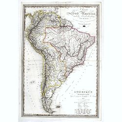
Amerique Meridionale d'apres le voyage au Paraguay de M. Azara.
A large uncommon folding map of South America, with both German and French titles and explanations, by Jospeh Dirwald, published in Vienna in 1818. The map is probably ba...
Place & Date: Vienna, 1818
Selling price: $200
Sold in 2017
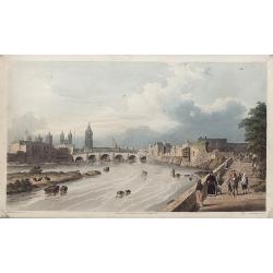
LIMA, por el Lado del este.
Very fine view of Lima, engraved by T.Sutherland. The engraving was made after a design of Paroissein.Showing the Rímac River and is the most important source of potable...
Place & Date: London, 1820
Selling price: $100
Sold in 2008
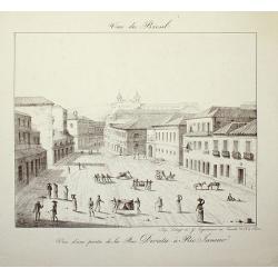
Vue du Bresil - Vue d'une partie de la Rue Direita à Rio-Janeiro
Place & Date: Paris, c. 1820
Selling price: $120
Sold in 2008
Carte du Bresil, Dressee pouo L'Intelligence de L'histoire Generale des Voyages de Labarpe.
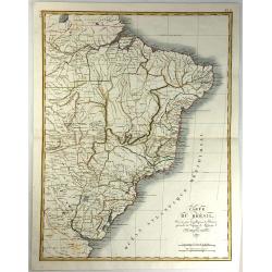
A striking lithograph map of Brazil and the surrounding countries. One of the original maps that show the findings resulting from the voyages of Labarre.
Place & Date: Paris, 1821
Selling price: $100
Sold in 2017
Carte du Perou Dressee pouo L'intelligence de L'histoire generale des Voyages de Labarpe.
A striking lithograph map of Peru and the surrounding countries. One of the original maps that shows the findings resulting from the voyages of Labarpe.
Place & Date: Paris , 1821
Selling price: $30
Sold in 2017
Caraccas and Guiana.
An attractive and detailed map of Venezuela and Guiana, extending Martinique in the north as far south northern Brazil, westwards to Lake Maracaibo across to the Atlantic...
Place & Date: Edinburgh, 1821
Selling price: $80
Sold in 2017
Peru, Chili and La Plata.
This is a beautiful 1817 Thomson map of Peru, Chile and Argentina. It covers Bolivia, Paraguay, Uruguay and parts of Peru, Chile, Argentina and Brazil.The map identifies ...
Place & Date: Edinburgh, 1821
Selling price: $100
Sold in 2016
Plan de l'Embouchure de la Rivière de Cayenne et des Mouillages extérieures. . .
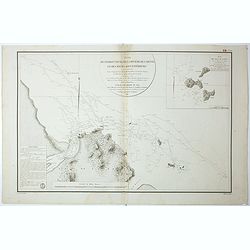
Early chart of coast offshore to Cayenne.
Place & Date: Paris, ca.1822
Selling price: $45
Sold in 2018
Plan de l'Embouchure de la Rivière de Cayenne et des Mouillages extérieures. . .
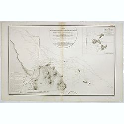
Early chart of coast offshore to Cayenne. Prepared by C.L. Grassier and engraved by Ambroise Tardieu and P.J. Besançon. Detailed chart published by Dépôt Générale de...
Place & Date: Paris, ca.1822
Selling price: $55
Sold in 2020
Geographical, Statistical, and Historical Map of Colombia.
One of the first separate maps of the newly independent Colombia and Venezuela, which was still steeped in Revolution under the irrepressible work of Simon Bolivar. The m...
Place & Date: Philadelphia, 1822
Selling price: $80
Sold in 2020
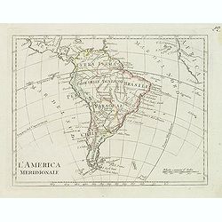
L'america meridionale.
Charming map of South America from the rare atlas Atlante Tascabile o sia Serie di Num. XXI Cartine Geografiche nelle quali si rappresenta in ristretto lo Stato Attuale d...
Place & Date: Rome, 1823
Selling price: $150
Sold
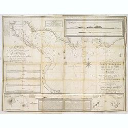
Carta esférica del Rio de la Plata en la América del Sur, Levantada por Don Andres Oyarvide. . .
Stunning chart of the Rio de la Plata with Buenos Aires, Montevideo, Maldonado, etc. prepared by Benito Aizpurúa. The map has several insets including "Puerto de Mo...
Place & Date: Buenos Aires, ca.1823
Selling price: $1900
Sold in 2013
Peru.
This is the map of Peru is from a plano edition of the very scarce German edition of Carey & Lea's "A Complete Historical, Chronological, and Geographical Americ...
Place & Date: Weimar, 1822-1825
Selling price: $100
Sold
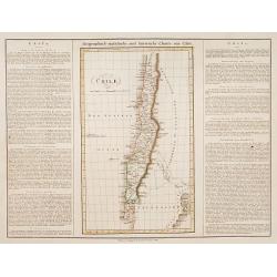
Chili.
This is the map of Chilli is from a plano edition of the very scarce German edition of Carey & Lea's "A Complete Historical, Chronological, and Geographical Amer...
Place & Date: Weimar, 1822-1825
Selling price: $100
Sold
Carte Geographique, Statistique et Historique de la Republique Colombienne.
A nice detailed map of Columbia from Buchon's Atlas Gégraphique Statistique, historique et chronologique des deux Ameriques et des isles adjacentes traduit de l'atlas ex...
Place & Date: Paris, 1825
Selling price: $100
Sold in 2019
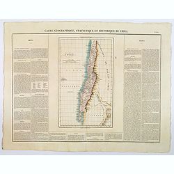
Carte Geographique, Statistique et Historique du Chili.
A nice detailed map of Chile from Buchon's Atlas Gégraphique Statistique, historique et chronologique des deux Ameriques et des isles adjacentes traduit de l'atlas exéc...
Place & Date: Paris, 1825
Selling price: $50
Sold in 2019
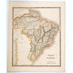
Brazil and Paraguay.
A large, detailed map of Brazil and Paraguay taken from Hall's scarce 'New General Atlas', published just after the Brazilian war of independence, which ceded this enormo...
Place & Date: London, 1825
Selling price: $30
Sold in 2020
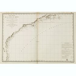
Carte réduite de la cote du Brésil.
Detailed chart of the coast of Brazil. Giving very good detail with soundings. Engraved by M.Ambroise Tardieu, engraver for the Depot Générale de la marine is noted as ...
Place & Date: Paris, 1826
Selling price: $200
Sold in 2015
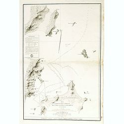
Plan du mouillage situéau . . . Santa Catharina. . .
Detailed chart of the northern coast of Santa Catarina in Brazil. Giving very good detail with soundings. Engraved by M.Ambroise Tardieu, engraver for the Depot Général...
Place & Date: Paris, 1826
Selling price: $100
Sold in 2015
Le Chimborazo.
Aquatint depicting mount Chimborazo. Showing some lamas and some natives walking to Lican village. Lican was the place where the old kings of Quito were living. From Giul...
Place & Date: Milan, 1827
Selling price: $62
Sold






![[Lot of 11 maps of the Strait of Magellan] Carte du detroit de Magellan avec les Routes de la Bodeuse et de l'Etoile.](/uploads/cache/19991-(3)-250x250.jpg)

