Browse Listings in America > South America
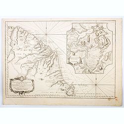
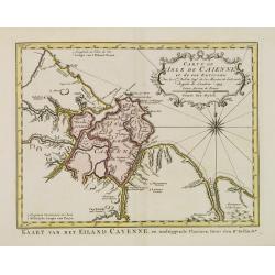
Carte de la guyans Francois et l'isle de Cayenne. . .
A detailed and well engraved sea chart of French Guiana and the island of Cayenne, via a large inset. The map was published in 1763 by Bellin (1703-72), a high output car...
Place & Date: Paris, 1763
Selling price: $145
Sold in 2020
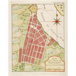
Plan de la Ville de Paramaribo Suivant les Plans Hollandois
Fine map of Panama Bay. From "Petit Atlas Maritime ". Jacques Nicolaas Bellin (1703-1772) was one of the most important and proficient French cartographers of t...
Place & Date: Paris 1764
Selling price: $120
Sold
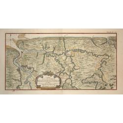
Carte d'une Grande Partie de la Colonie de Surinam.
Nice map of the Dutch colony of Suriname with excellent detail of the Suriname and Commewijne river systems, noting the boundaries of all the plantations laid along their...
Place & Date: Paris, ca. 1764
Selling price: $200
Sold in 2008
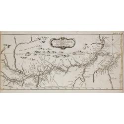
Guyane Portugaise et Partie du Cours de la Riviere des Amazones.
A good engraved map of the Amazon.
Place & Date: Paris, 1764
Selling price: $85
Sold in 2010
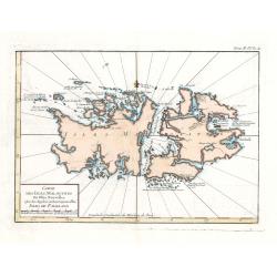
Carte Des Isles Malouines ou Isles Nouvelles - Isles de Falkland
This elegant sea chart of the Falkland Islands by Jacques Nicolas Bellin is from his ‘Le Petit Atlas Maritime…’, which covered the world to the extent it was known ...
Place & Date: Paris, 1764
Selling price: $75
Sold in 2023
De Ingang van Rio de la Plata, Waar aan de Stad Buenos Ayres ligt, in Zuid-Amerika.
A map showing the Rio de la Plata estuary with the town of Buenos Aires. With an inset depicting the Bay of Maldonado.
Place & Date: Amsterdam, 1765
Selling price: $60
Sold
Plan van de Haven van Carthagena.
Izaak Tirion (d. 1769) Amsterdam publisher. His ' Nieuwe en beknopte handatlas' saw 6 editions between before 1740 and after 1784. Also ' Tegenwoordige staat van alle vol...
Place & Date: Amsterdam, 1765
Selling price: $90
Sold
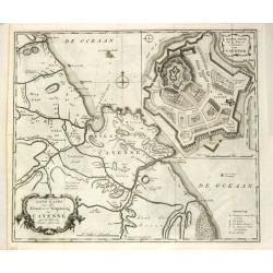
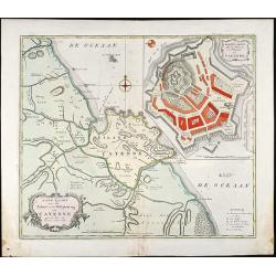
Land-kaart van het Eiland en de Volkplanting van Cayenne aan de Kust van Zuid-Amerika.
Izaak Tirion (d. 1769) Amsterdam publisher. His ' Nieuwe en beknopte handatlas' saw 6 editions between before 1740 and after 1784. Also ' Tegenwoordige staat van alle vol...
Place & Date: Amsterdam, 1765
Selling price: $200
Sold
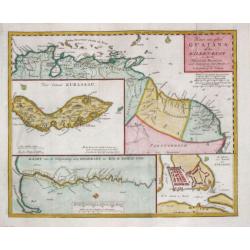
Kaart van geheel Guajana of de Wilden -Kust / Het Eiland Kurassau. / De Haven en \'t Kasteel van Kurassau / Kaart van de Volksplanting aan Demerary en Rio d\'Essequebo.
Isaak Tirion (d. 1769) Amsterdam publisher. His 'Nieuwe en beknopte handatlas' saw 6 editions between before 1740 and after 1784. Also 'Tegenwoordige staat van alle volke...
Place & Date: Amsterdam, 1765
Selling price: $375
Sold in 2009
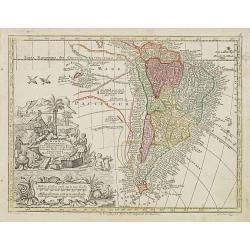
Kaart van het Onderkoningschap van Peru, zig uitstrekkende over Chili, Paraguay en andere Spaansche Landen: als ook van Brazil en verdere Bezitting en van Portugal in Zuid - Amerika.
Nice detailed map of most of the continent - leaving off the northern coastline. The southern tip is enclosed in a large inset balancing the composition with the block-st...
Place & Date: Amsterdam, 1765
Selling price: $190
Sold
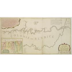
Nieuwe..kaart van de colonie Berbice..
Re-issue of his map from 1740, without the printed list of owners, with a large added contemp. hand-colored cartouche Relaas van de rebellie, ontstaan op de plantagien in...
Place & Date: Amsterdam 1765
Selling price: $500
Sold
Land-Kaart van het Eiland en de Volkplanting van Cayenne aan de Kust van Zuid-Amerika
Attractive engraved map of French Guyana by I. Tirion. Showing the coast of French Guyana with a plan of Cayenne and the fortifications. With two cartouches and a compass...
Place & Date: Amsterdam, 1765
Selling price: $110
Sold in 2009
Plan de la Ville de Paita dans le Roiaume de Santa Fe.
Plan of the Peruvian city of Paita on the Santa Fe coast. The original map was produced by Captain George Anson during his voyage around the world. Jacob Van Der Schley...
Place & Date: Amsterdam, 1765
Selling price: $37
Sold in 2013
De Stad, Reede, Haven en Rivier van Chagres in de Spaansche Westindien.
A map of the town of Chagres and its direct vicinity. The Chagres River in central Panama is the largest in the Panama Canal's watershed.It was published in “Tegenwoord...
Place & Date: Amsterdam, 1765
Selling price: $120
Sold in 2017
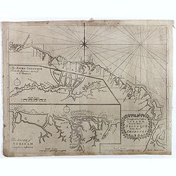
A Draught of the Coast of GUIANA From the River Oronoque To the River Amazones.
Rare chart with the coastline of the Guyana's with small insets of two charts of The River Oronoque from the entrance to St. Thomas's and The River of Surinam. Compass po...
Place & Date: Dublin, 1767
Selling price: $300
Sold in 2017
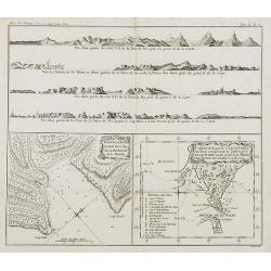
Plan de la Baye du Bon succès dans le détroit de le Maire. / Carte de la partie S. E. de la Terre de Feu. . . / 4 profils figurant la Terre de feu. Tome II Pl. 6.
Charts of the Detroit of Le Maire and of Tierra del Fuego in Spanish for "Land of Fire" situated on the southernmost tip of the South American mainland by the S...
Place & Date: Paris, 1769
Selling price: $70
Sold in 2008
Carte de la Partie Meridionale de l\'Amerique Meridionale.
A coastal chart of southern South America showing the route of the Centurion from the Island of St. Catherine (Brazil) to the Island of Juan Fernandez (in the Pacific).
Place & Date: Paris c.1770
Selling price: $120
Sold
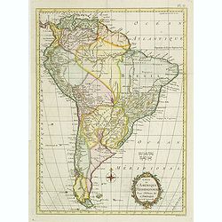
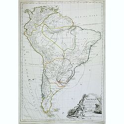
Amérique Méridionale.
Rigobert Bonne (1727-1795), French cartographer. His maps are found in a.o. Atlas Moderne (1762), Raynal's Histoire Philos. du Commerce des Indes (1774) and Atlas Encyclo...
Place & Date: Paris, c. 1770
Selling price: $60
Sold
Extrémité Méridionale de l'Amerique.
Rigobert Bonne (1727-1795), French cartographer. His maps are found in a.o. Atlas Moderne (1762), Raynal's Histoire Philos. du Commerce des Indes (1774) and Atlas Encyclo...
Place & Date: Paris, c.1770
Selling price: $115
Sold in 2008
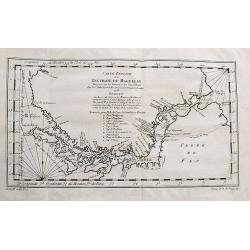
Détroit de Magellan, avec les Plans des principaux ports, Bayes etc. de ce Détroit.
Rigobert Bonne (1727-1795), French cartographer. His maps are found in a.o. Atlas Moderne (1762), Raynal's Histoire Philos. du Commerce des Indes (1774) and Atlas Encyclo...
Place & Date: Paris, c.1770
Selling price: $130
Sold
America Meridionalis Concinnata juxta Observationes Dnn Acad
colored copper engraving showing South America. After a map of De l'Isle.
Place & Date: Augsburg, 1770
Selling price: $280
Sold in 2009
S. America.
Uncommon map of South America. With many details and place names. With small specks of land "Terra Australis", "Port discover'd by Sir Francis Drake",...
Place & Date: London, ca. 1770
Selling price: $20
Sold in 2014
Carte Reduite Du Détroit de Magellan...
Bellin's important and interesting map of the Straits of Magellan and parts of Tierra del Fuego. Extends from Cap des Vierges to Cap de la Victoire. Indicating many bays,...
Place & Date: Paris, ca. 1770
Selling price: $50
Sold in 2017
[Lot of 9 maps and prints]. Kaart van Brasil en de Aller-heiligen Baay waar aan de Hoofdstad legt van Brazil.
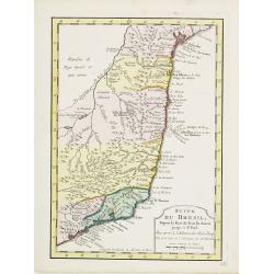
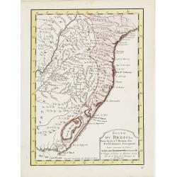
[Lot of 9 maps and prints of Brasil].- Kaart van de Aller-heiligen Baay waar aan de Hoofdstad legt van Brazil. - Carte du Bresil Prem. Partie- Suite du Bresil- Suite du ...
Place & Date: Amsterdam, ca 1770
Selling price: $150
Sold in 2023
Carte du Paraguay et des Pays voisin.
Jaques Nicolas Bellin (1702-720) was the most important French hydrographer of the 18th century. Sea-atlas 'Hydrographique Français' , 1756-65, atlas to accompany Prévo...
Place & Date: Amsterdam, 1771
Selling price: $110
Sold
Carte De La Terre Ferme, de la Guyane, et du Pays des Amazones...
Fine map of the northern part of South America, including Aruba, Bonaire, Curacao, Trinidad, Columbia, Peru, Venezuela, Ecuador, Guyana, and the northern part of Brazil. ...
Place & Date: Paris, 1771
Selling price: $75
Sold in 2018
CARTE REDUITE DES ISLES MALOUINES OU .. ISLES DE FALKLAND 1771
Large-scale nautical chart of the Falkland islands with rhumb lines, soundings and anchorages, detailed chart with depth soundings and the tracks of recent French and Eng...
Place & Date: Paris, 1771
Selling price: $250
Sold in 2021
South America
"South America" by Thomas Jefferys, published in “A New Geographical and Historical Grammar” in London in 1772.Thomas Jefferys (c.1719–1771), "Geogra...
Place & Date: London, 1772
Selling price: $50
Sold in 2017
De Haven van Callao in de Stille of Zuid-Zee. . .
An attractive plan of the Peruvian port of Callao, and her surrounds, including Lima, some 15 km's to the east. From a Dutch edition of an important report of a French/Du...
Place & Date: Amsterdam, ca 1772
Selling price: $150
Sold in 2019
Platte-Grond van Lima Hoofdstadt van Peru. . .
An attractive plan of the Peruvian capital of Lima. From a Dutch edition of an important report of a French/Dutch expedition through South America in 1772. The map depict...
Place & Date: Amsterdam, ca 1772
Selling price: $80
Sold in 2023
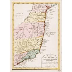
Suite du Bresil ..
Uncommon edition of this accurate map of part of Brazil.From Atlas Portatif pour servir a l'intelligence de l'Histoire Philosophique et Politique des etablissements et du...
Place & Date: Amsterdam, 1773
Selling price: $150
Sold in 2016
Carte de L'Isle de Caiene et de ses environs.
Uncommon edition of this accurate map of Cayenne.From Atlas Portatif pour servir a l'intelligence de l'Histoire Philosophique et Politique des etablissements et du commer...
Place & Date: Amsterdam, 1773
Selling price: $30
Sold in 2022
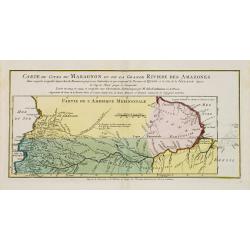
Carte du Cours du Maragnon ou .. Amazones..
Uncommon edition of this map of the river Amazon.From Atlas Portatif pour servir a l'intelligence de l'Histoire Philosophique et Politique des etablissements et du commer...
Place & Date: Amsterdam, 1773
Selling price: $50
Sold in 2018
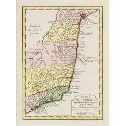
Suite du Bresil Depuis la Baie de Tous les Saints..
Uncommon edition of this accurate map of part of Brazil, from San Salvador till Rio de Janeiro and S.Paulo.From Atlas Portatif pour servir a l\'intelligence de l\'Histoir...
Place & Date: Amsterdam, 1773
Selling price: $180
Sold in 2008
Carte du Paraguay et des Pays voisins..
Uncommon edition of this fine map of Paraguay.From Atlas Portatif pour servir a l'intelligence de l'Histoire Philosophique et Politique des etablissements et du commerce ...
Place & Date: Amsterdam, 1773
Selling price: $100
Sold in 2017
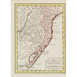
Suite du Bresil ..
Uncommon edition of this accurate map of part of Brazil.From Atlas Portatif pour servir a l\'intelligence de l\'Histoire Philosophique et Politique des etablissements et ...
Place & Date: Amsterdam 1773
Selling price: $150
Sold in 2008
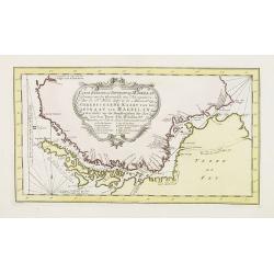
Carte réduite du Détroit de Magellan. . .
Uncommon edition of this fine map southern part of South America with Straits Magellan. In lower right engraved "27."From Atlas Portatif pour servir a l'intelli...
Place & Date: Amsterdam, 1773
Selling price: $130
Sold in 2011
Carte du Paraguay et des Pays voisins..
Uncommon edition of this fine map of Paraguay. In lower right engraved "28."From Atlas Portatif pour servir a l'intelligence de l'Histoire Philosophique et Poli...
Place & Date: Amsterdam, 1773
Selling price: $200
Sold in 2011
Suite du Bresil Depuis la Baie de Tous les Saints..
Uncommon edition of this accurate map of part of Brazil, from San Salvador till Rio de Janeiro and S.Paulo. In lower right engraved "29b."From Atlas Portatif po...
Place & Date: Amsterdam, 1773
Selling price: $180
Sold
Suite du Bresil..
Uncommon edition of this accurate map of part of Brazil. In lower right engraved "29c."From Atlas Portatif pour servir a l'intelligence de l'Histoire Philosophi...
Place & Date: Amsterdam, 1773
Selling price: $120
Sold
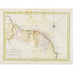
Carte de La Guiane..
Uncommon edition of this accurate map of part of Brazil. In lower right engraved "32."From Atlas Portatif pour servir a l'intelligence de l'Histoire Philosophiq...
Place & Date: Amsterdam, 1773
Selling price: $20
Sold in 2022
Suite du Bresil . . .
Uncommon edition of this accurate map of part of Brazil.From Atlas Portatif pour servir a l'intelligence de l'Histoire Philosophique et Politique des etablissements et du...
Place & Date: Amsterdam, 1773
Selling price: $26
Sold in 2022
Vue des Indiens de la Terre de Feu dans leurs huttes. [Tome II Pl. 7.]
Family scene in a Patagonian hut. From the French edition of James Cook's first voyage entitled Relation des voyages entrepris par ordre de sa Majesté Britannique actuel...
Place & Date: Paris, 1773
Selling price: $40
Sold in 2012
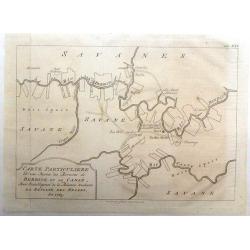
Carte Particuliere d'une Partie des Riviers de Berbice et de Caroje, Pour L'Intelligence de la Relation Touchant l Revolt des Negres en 1763
Plan of Berbice, Surinam at the time of the slave revolt of 1763. The slaves revolted and forced the plantation owners out of the country.
Place & Date: Amsterdam, 1773
Selling price: $16
Sold in 2018
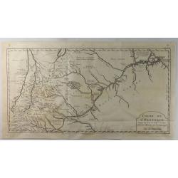
Cours de L'Orenoque Depuis ses Sources Jusqu'a la Mer.
An uncommon copper engraved map of the mouth of the Orinoco River, in South America. The map covers the countries of Colombia and Venezuela. A simple block-style title c...
Place & Date: Paris, 1773
Selling price: $175
Sold in 2020
Isles Maidenland, de Hawkins et le Détroit de Falkland. / Isle de Géorgie. / Terre de Sandwich.
Rigobert Bonne (1727-1795), French cartographer. His maps are found in a.o. Atlas Moderne (1762), Raynal's Histoire Philos. du Commerce des Indes (1774) and Atlas Encyclo...
Place & Date: Paris, 1774
Selling price: $110
Sold
Port Gallant et Baye Fortescue / Port Eimine /Baye de Wood / Baye et Havre de Cordes. [Tome I Pl. 3.]
Four charts on one sheet of Port Famine, Wood's Bay, Port Gallant and Fortescue Bay, Cordes Bay and Harbour. This print is taken from the first French edition of James Co...
Place & Date: Paris, 1774
Selling price: $80
Sold in 2012
Carte de Maidenland ou de la Virginie de Hawkins, Découverte par Sir Richard Hawkins en 1574, et du Canal Falkland . . . [Tome I Pl.7.]
Chart shows the Falkland Islands and the Falkland Straits discovered by Sir Richard Hawkins in 1574. Shows many harbors, channels, capes, bays, shoals, islands, rocks, so...
Place & Date: Paris, 1774
Selling price: $150
Sold in 2021
Vue du Côté N.O. de Masafuero. [Tome I Pl. 8.]
Coastline views of the North West of Masafuero. This print is taken from the first French edition of James Cook's first voyage entitled Relation des voyages entrepris par...
Place & Date: Paris, 1774
Selling price: $40
Sold in 2012
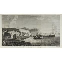
Entrevue du Commodore Byrou avec les Patagons. [Tome I Pl. 6.]
Commodore Byron in talks with the native tribes of Patagonia. From the French edition of James Cook's first voyage entitled Relation des voyages entrepris par ordre de sa...
Place & Date: Paris, 1774
Selling price: $50
Sold in 2013
Entrevue du Commodore Byron avec les Patagons.
From the French edition of James Cook's first voyage entitled Relation des voyages entrepris par ordre de sa Majesté Britannique actuellement régnante pour faire des d�...
Place & Date: Paris, 1774
Selling price: $40
Sold in 2010
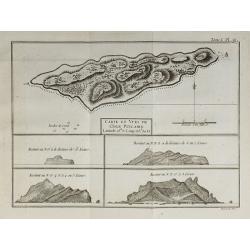
Carte et Vues de l'Isle Pitcairn.
From the French edition of James Cook's first voyage entitled Relation des voyages entrepris par ordre de sa Majesté Britannique actuellement régnante pour faire des d�...
Place & Date: Paris, 1774
Selling price: $30
Sold in 2010
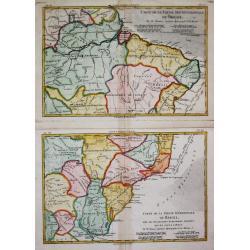
Carte de la Partie Septentrionale / Méridionale du Brésil.
Rigobert Bonne (1727-1795), French cartographer. His maps are found in a.o. Atlas Moderne (1762), Raynal's Histoire Philos. du Commerce des Indes (1774) and Atlas Encyclo...
Place & Date: Paris, c, 1775
Selling price: $175
Sold
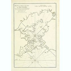
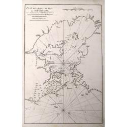
Plan de la Baye et du Port de Rio-Janeiro.
French of mostly focusing on Guanabara bay. Notice the names of the many now famous areas of Rio are already firmly established (Botafogo, Lame, S. Cristovao, Gloria, et...
Place & Date: Paris, Brest, Demonville, 1775
Selling price: $400
Sold in 2021
Carte particulière de l'Isle de Juan Fernandes tirée du Voyage de l'Amiral Anson.
An interesting map of Robinson Crusoe Island, off the coast of Chile, from the atlas of Prevost d'Exiles' travel book, "Voyage de l'Amiral Anson". Detailed map ...
Place & Date: Paris, 1738-1775
Selling price: $45
Sold in 2014
Plan De La Baye Et Du Port De Rio-Janeiro...
A scarce sea-chart with early mapping of the Guanabara Bay, with Rio De Janeiro. Published in the 1775 in the "Neptune Orientale".Interesting to see the Bay of ...
Place & Date: Paris, 1775
Selling price: $110
Sold in 2016
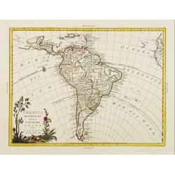
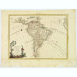
America meridionale divisa ne'fuoi principali..
Attractive map depicting all of South America in the grand Zatta style. Splendid ornate cartouche with Zatta's normal flourish. The map illustrates many of the primitive ...
Place & Date: Venice 1776
Selling price: $350
Sold
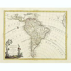
America meridionale divisa ne'fuoi principali..
Attractive map depicting all of South America in the grand Zatta style. Splendid ornate cartouche with Zatta's normal flourish. The map illustrates many of the primitive ...
Place & Date: Venice, 1776
Selling price: $150
Sold in 2011
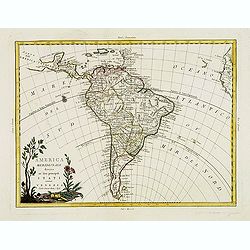
America meridionale divisa ne'fuoi principali. . .
Attractive map depicting all of South America in the grand Zatta style. Splendid ornate cartouche with Zatta's normal flourish. The map illustrates many of the primitive ...
Place & Date: Venice, 1776
Selling price: $325
Sold in 2012
America meridionale divisa ne'fuoi principali Stati.
An attractive map depicting all of South America in the grand Zatta style. With a splendid ornate cartouche with Zatta's normal flourish. The map illustrates many of the ...
Place & Date: Venice, 1776
Selling price: $60
Sold in 2021
Plano de la Plaza de la Colonia del Sacramento...
A highly rare map of Colonia del Sacramento in Uruguay, at the Rio de la Plata, facing Buenos Aires.The plan includes an A-X legend of places, churches, batteries and oth...
Place & Date: Madrid, 1777
Selling price: $970
Sold
America Meridionalis per sua regna provinc: et Ins. . .
Miniature map of South America, showing the continent too narrowly and the Salomon Islands too near to South America. The coastline is surrounded with place names. Routes...
Place & Date: Augsburg, J.M.Will, 1778
Selling price: $275
Sold in 2012
Carte de L\'Amerique Méridionale. . .
Detailed map of South America. The map was prepared by William Roberts (1721-1793) in 1777 for the English edition, in 1778 the first French edition followed, L'Histoire ...
Place & Date: Paris, Panckoucke, 1778
Selling price: $51
Sold in 2011
Carte des Pays situés sur la Mer du Sud. . .
Detailed map of Panama, Colombia and Ecuador. The map was prepared by William Roberts (1721-1793) in 1777 for the English edition, in 1778 the first French edition follow...
Place & Date: Paris, Panckoucke, 1778
Selling price: $80
Sold in 2011
Mappa Paraquariae in multis a me correcta. . .
A rare map of Paraguay from Dobrizhoffer Martin (1717-1791) Historia de Avipones y Mocobies. Engraved by F.Assner.The map includes all of Argentina from 11º to 370º sou...
Place & Date: Vienna, 1780
Selling price: $1500
Sold in 2011
Kaart van het Zuidlyk Eind van Amerika. 1775.
Uncommon chart of the tip of South America, showing Patagonia, Tierra del Fuego and the Falkland Islands. With an inset of Staaten Land in the lower right corner.Publishe...
Place & Date: Amsterdam c. 1780
Selling price: $220
Sold
Carte du Nouvelle Royaume de Grenade, de Andalousie et de la Guyane.
Copper engraved for "Atlas de Toutes les Parties Connues du Globe Terrestre". From Panama to the mouth of the Amazon. BONNE, RIGOBERT (1729-1795). Bonne was �...
Place & Date: Paris, 1780
Selling price: $20
Sold in 2013
Carte de l'Amérique Méridionale, pour l'Histoire Générale des Voyages in 8º.
A nice map of South-America.
Place & Date: Paris, 1780
Selling price: $80
Sold in 2010
Carte du Perou avec Une Partie des Pays Qui en Sont a L'Est
An interesting map of Peru with the "Country of Amazon" on it Eastern border. From "Atlas de Toutes les Parties Connues du Globe Terrestre". Detailed ...
Place & Date: Paris, 1780
Selling price: $46
Sold in 2014
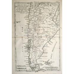
Carte du Chili depuis le Sud du Perou Ju Squ\'au Cap horn avec partie des Regions qui en sont a L\'Est. Par M. Bonne, Ingr. Hydrographe de la Marine.
The decorative map is showing Chili, Patagonia, the Magellan Street and the Falkland Islands.
Place & Date: Paris 1780
Selling price: $70
Sold in 2013
Carte du Chili Depuis le Sud du Perou Jusqu'au Cap Horn
A fine example of Rigobert Bonne and Guillaume Raynal's 1780 map of Chile. Covers modern day Chile, Argentina, Uruguay, the Falkland Islands, Tierra del Fuego, and Cape H...
Place & Date: Paris, 1780
Selling price: $35
Sold in 2016
Missiion des Moxes Etablie par les PP de la Comp'e de Jesus dans le Perou.
A fine detailed map of Peru showing the topographical locations and details of the many Jesuit missions. It features an attractive title cartouche.
Place & Date: Paris, 1780
Selling price: $86
Sold in 2017
Extrémité Meridionale De Amérique.
Map shows Tierra del Fuego, with 5 inset maps of Canal de Noel, Terre de Feu, Bay Dubon, and the coast.Rigobert Bonne (1727–1795) was one of the most important cartogra...
Place & Date: Paris, ca. 1780
Selling price: $55
Sold in 2018
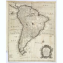
A Map of South America, With all the European Settlements. . .
A pleasant map of South America, showing great detail along the west coast, and the east coast of Brazil, however, the vast interior of Brazil and the Amazon is labelled ...
Place & Date: London, 1780
Selling price: $250
Sold in 2020
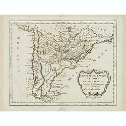
Terre Magellanique le Chili et le Paraguay. . .
Scarce map of southern most South America, prepared by Nolin and published by L.J. Mondhare for his Atlas Général a l'usage des colleges et maisons d'education.. Louis ...
Place & Date: Paris, 1781
Selling price: $175
Sold in 2014
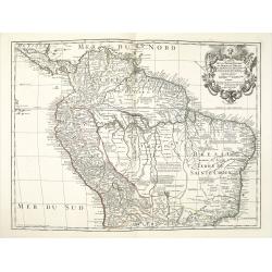
Carte de la Terre Ferme du Perou du Bresil et du Pays des Amazones.
A later issue of this detailed and surprisingly accurate map of the northern part of South America prepared by De l'Isle. It is filled with place names and notations spec...
Place & Date: Paris, 1782
Selling price: $225
Sold in 2021
L'Amérique méridionale.
Map of South America embellished with a figurative title cartouche.
Place & Date: Paris, 1783
Selling price: $250
Sold in 2020
Carte du Paraguay et partie des Pays adjacants.
Jean Lattré, Paris-based engraver and publisher. Worked with Robert de Vaugondy, J. Janvier and R. Bonne. " Atlas Monderne', 1771, 1783 , 1793. Rigobert Bonne (1727...
Place & Date: Paris, 1783
Selling price: $110
Sold
Carte de la Terre Ferme, dela Guyane et du Pays des Amazones.
Jean Lattré, Paris-based engraver and publisher. Worked with Robert de Vaugondy, J. Janvier and R. Bonne. " Atlas Monderne', 1771, 1783 , 1793. Rigobert Bonne (1727...
Place & Date: Paris, 1783
Selling price: $200
Sold
Carte du Perou ou se trouvent les Audiences de Quito, Lima et la Plata..
Attractive map centered on Peru, covering the northern half of the South American Pacific coast, from Ecuador to northern Chili.Boundaries outlined in hand color. Large o...
Place & Date: Paris ca 1783
Selling price: $65
Sold









![[Lot of 9 maps and prints]. Kaart van Brasil en de Aller-heiligen Baay waar aan de Hoofdstad legt van Brazil.](/uploads/cache/19736-250x250.jpg)





![Vue des Indiens de la Terre de Feu dans leurs huttes. [Tome II Pl. 7.]](/uploads/cache/26105-250x250.jpg)

![Port Gallant et Baye Fortescue / Port Eimine /Baye de Wood / Baye et Havre de Cordes. [Tome I Pl. 3.]](/uploads/cache/25889-250x250.jpg)
![Carte de Maidenland ou de la Virginie de Hawkins, Découverte par Sir Richard Hawkins en 1574, et du Canal Falkland . . . [Tome I Pl.7.]](/uploads/cache/25892-250x250.jpg)
![Vue du Côté N.O. de Masafuero. [Tome I Pl. 8.]](/uploads/cache/25893-250x250.jpg)
![Entrevue du Commodore Byrou avec les Patagons. [Tome I Pl. 6.]](/uploads/cache/26104-250x250.jpg)
