Browse Listings in America > North America
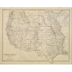
United States of North America. Western States.
Detailed map of western part of North America by Keith Johnston, a well-known publisher of maps who continually updated their regional maps. From his Royal Atlas . With g...
Place & Date: Edinburg 1860
Selling price: $90
Sold
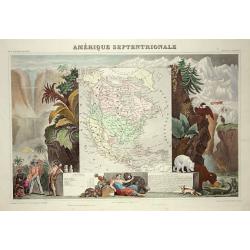
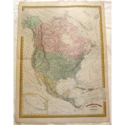
Amerique Septentrionale
Lovely map with an INDEPENDENT TEXAS. The United States extending into present day Canada, Russia in control of Alaska and Mexico's northern border according to the Treat...
Place & Date: Paris 1860
Selling price: $240
Sold
Isba, Maison des colonies de l'Amérique Russe.
Early print of a colonial house in Alaska. Engraved by Ch.Ransonette and published by Arthus Bertrand. From: Voyage de M.D. de Mofras .Duflot de Mofras, an attaché of th...
Place & Date: Paris, 1860
Selling price: $20
Sold in 2012
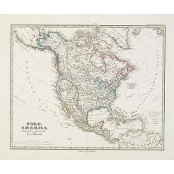
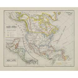
Noord-Amerika.
Uncommon map of North America including Canada and Mexico. Inset map of Central America. Lithography by J.H. van Weijer, published in Atlas der geheele Aarde [?] in 24 ka...
Place & Date: Groningen, ca. 1860
Selling price: $55
Sold in 2008
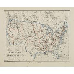
Vereenigde Staten van Noord-Amerika.
Uncommon map of the United States of America. Lithography by J.H. van Weijer, published in Atlas der geheele Aarde [?] in 24 kaarten.
Place & Date: Groningen, ca. 1860
Selling price: $50
Sold in 2015
2 Papier peints: 'West Point in New York'' and ''Boston Harbor''.
Two panels from one of Zuber's grandest panoramic wallpapers (papier peint) is a set of American landscapes, "Les Vues de L'Amérique du Nord" (Views of North A...
Place & Date: Rixham, ca. 1852 - 1860
Selling price: $4200
Sold in 2011
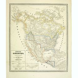
Noord Amerika naar de bestebronnen vervaardigd onder toezigt van J. van Wijk Roelandsz. . .
A mid-nineteenth century map of America by the Dutch mapmakers and publishers Roelandsz and Zoon. Showing Alaska still belong to Russia.Engraved by J. Jaeger.
Place & Date: Groningen, c. 1860
Selling price: $40
Sold in 2012
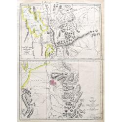
Map of the Great Salt Lake; The Great Salt Lake (Mormon) City;
Two important maps on one sheet showing Salt Lake City in Utah, and its surroundings. Both maps are very detailed, with many place names of rivers, settlements, springs, ...
Place & Date: London, ca. 1860
Selling price: $91
Sold in 2018
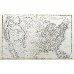
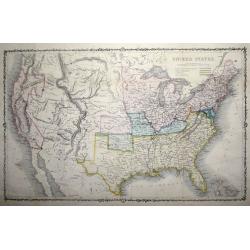
United States.
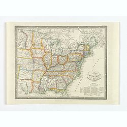
An unusual map of the United States. With excellent detail throughout. With "Indian Territory" north of Texas. Canada is named British America. Shows the Missou...
Place & Date: ca. 1860
Selling price: $67
Sold in 2020
Amérique Russe et partie de regions polaires boeales.
Very detailed map from Atlas Sphéroïdal & Universel de géographie , Prepared by F.A.Garnier and edited by Jules Renouard, rue de Tournon, Paris. Uncommon with deco...
Place & Date: Paris, 1861
Selling price: $200
Sold in 2012
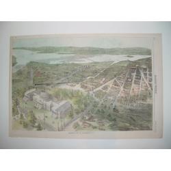
Balloon view of Washington, D. C.
An impressive wood cut balloon view of Washington, D. C. at the start of the American Civil War. The Capitol is seen in the foreground, with its dome under construction. ...
Place & Date: New York, 1861
Selling price: $160
Sold
États-Unis de L'Amérique du Nord..
Very detailed map from "Atlas Spherodidal & Universel de geographie", Prepared by F.A.Garnier and edited by Jules Renouard, rue de Tournon, Paris. Uncommon ...
Place & Date: Paris, 1861
Selling price: $180
Sold
United States.
An uncommon pre-Civil War issue that was published by the London Printing and Publishing Company. Circa 1861.A highly detailed map which covers the entire country, issued...
Place & Date: London 1861
Selling price: $80
Sold in 2015
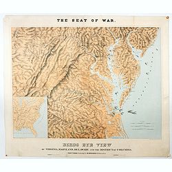
The Seat of War. Birds Eye View of Virginia, Maryland, Delaware and the District of Columbia.
A large and striking example of the seat of the civil war in the mid-Atlantic states in 1861. Extending from the southern reaches of New Jersey and Pennsylvania to northe...
Place & Date: New York, London, Paris, 1861
Selling price: $1150
Sold in 2020
New Orleans
A desirable Civil War panoramic woodcut view of New Orleans. All major sites are depicted, including the Church of Saint Louis and French Quarter section. The city's harb...
Place & Date: New York, dated 1862
Selling price: $180
Sold in 2008
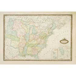
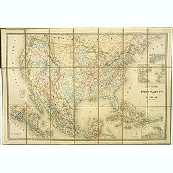
Carte Générale Des Etats - Unis Et Du Mexique Comprenant L'Amerique Centrale Et Les Antilles.
Large folding-map of the United States, Mexico and West Indies, with inset maps of Central America, Lesser Antilles, New York and Long Island, and the Atlantic connection...
Place & Date: Paris, 1862
Selling price: $500
Sold in 2019
Verein-Staaten von Nord-America . . .
General map of the United States of America with inset map of Texas. Very detailed map with a color key to American States.Published in Stieler's Hand Atlas.
Place & Date: Gotha, 1862
Selling price: $35
Sold in 2011
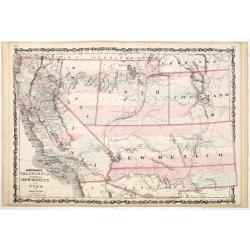
Johnson's California territories of New Mexico and Utah by Johnson and Ward.
Rare and important third state of the Johnson southwest map, now with a clearly defined Arrizona Territory. Published in 1862 at the height of the American Civil War, thi...
Place & Date: New-York, A. J. Johnson and Ward, 1862
Selling price: $170
Sold in 2014
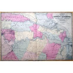
Johnson's Map of the Vicinity of Richmond, Peninsular Campaign in Virginia. Showing also the interesting localities along the James, Chickahominiy and York Rivers...
Important 1862 map of the vicinity of Richmond during the civil war. Shows the Union Advance during the Peninsular Campaign of the American Civil war.Highly detailed map,...
Place & Date: New York, 1862
Selling price: $30
Sold in 2013
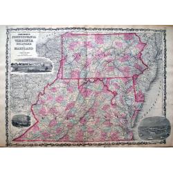
Johnson's Pennsylvania, Virginia, Delaware and Maryland.
Detailed map of Virginia, Maryland, Delaware and Pennsylvania, issued during the Civil War. The map pre-dates the formation of West Virginia and only appeared in the ear...
Place & Date: New York, 1862
Selling price: $35
Sold in 2013
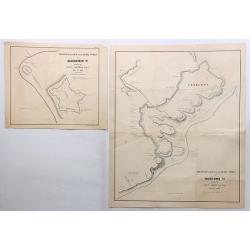
Reconnaissance of the Rebel Works at Gloucester Va. & Yorktown Va. (Two Maps)
Two fine maps of the “Reconnaissance of the Rebel Works” of Gloucester and Yorktown, Virginia. They were by Lieut. Comstock and Lieut. Abbot respectfully.They are qui...
Place & Date: New York, 1862
Selling price: $235
Sold in 2018
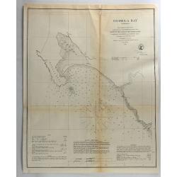
Bodega Bay, California.
Original lithograph of the U.S. Coast Survey map of Bodega Bay California from 1862.FULL TITLE : Bodega Bay California from a trigonometrical survey under the direction o...
Place & Date: Washington, 1862
Selling price: $14
Sold in 2018
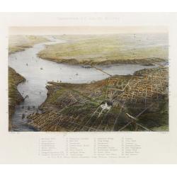
Washington D.C. and its Vicinity.
Bird's eye-view. With a numbered key 1-33 for points of interest. Engraved by W. Ridgway after J. Wells.
Place & Date: New York, ca. 1863
Selling price: $200
Sold
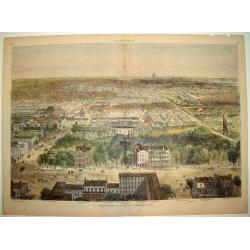
WASHINGTON CITY, D.C.
An impressive wood-cut panorama of Washington D.C, as seen during the middle of the American Civil War. The view centers on the White House, Patent Office and Post Office...
Place & Date: New York, 1863
Selling price: $250
Sold
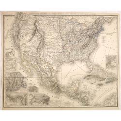
Vereinigte Staaten von Nord Amerika, nebst Mexico..
Uncommon map United States, with inset maps of San Francisco, German settlement Wartburg near Kingston, New England, Panama, New York, and Boston, including the Great Lak...
Place & Date: Leipzig, 1863
Selling price: $200
Sold in 2018
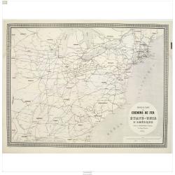
Nouvelle carte des chemins de fer des Etats-Unis d'Amerique
Fine map of eastern part of the United States, showing the early railway system of the area. From Atlas des Chemins de Fer published by Napoléon Chaix and printed by Imp...
Place & Date: Paris 1863
Selling price: $55
Sold in 2011
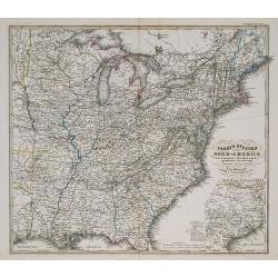
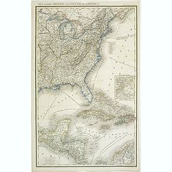
(Vereinigte Staaten von Nord Amer)ika, nebst Mexico und Central America
The right hand part of an uncommon map of the United States, German settlement Wartburg near Kingston, inset plan of Boston, including the Great Lakes area. With color-ke...
Place & Date: Leipzig, 1863
Selling price: $85
Sold in 2011
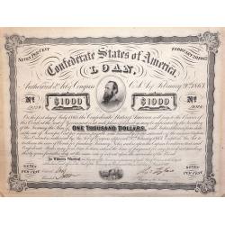
A Confederate States of America 1000 Dollar Loan Bond February 20th 1863.
American Civil War Bond of 1863, Low issue number, From the Confederate States of America 1000 Dollar Loan Bond: February 20th, 1863.With portrait of "Stonewall Jack...
Place & Date: Richmond, VA. ca. 1863
Selling price: $230
Sold in 2014
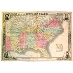
Map of the Southern States, Including Rail Roads, County Towns, State Capitals, County Roads, The Southern Coast From Delaware to Texas, Showing the Harbors, inlets, Forts and Position of Blockading Ships
Fine Harper's map of the South from Virginia and Florida to Kansas and Texas. The map features portraits of Lincoln, McClellan, Seward and Scott in the corners. Also a de...
Place & Date: New York, 1863
Selling price: $150
Sold in 2015
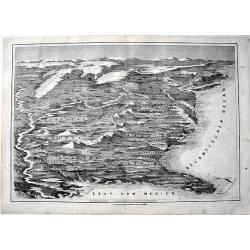
Die Vereinigten Staaten von Amerika aus der Vogelschau.
From the "Illustrierte Zeitung", a rere map of the United States appeared in 1863. It shows the "sclaven Staaten" as well as the train roads. Rare
Place & Date: Germany, 1863
Selling price: $250
Sold in 2017
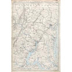
Seat of war in Virginia and Maryland.
An important and very detailed map of the District of Columbia, Eastern Maryland and Virginia. Extends from Gettysburg to Fredericksburg and Leonardtown, and includes str...
Place & Date: London, ca. 1863
Selling price: $25
Sold in 2018
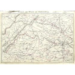
Seat of War in Virginia. Sheet 3.
An important and very detailed map of a part of Virginia. With Richmond, Staunton, Charlottesville, Lynchburg, etc, that includes streets, railroads, towns, rivers, and m...
Place & Date: London, ca. 1863
Selling price: $17
Sold in 2018
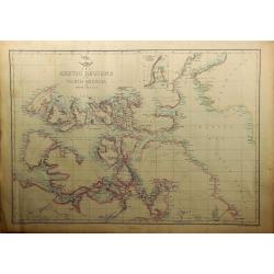
The Arctic Regions of North America.
A highly detailed map of the far north of America from Bankes Strait through Baffin Bay, by Edward Weller, for the Weekly Dispatch Atlas. With an inset "Continuation...
Place & Date: London, 1863
Selling price: $25
Sold in 2019
Amerique du Nord.
Fine steel engraved map of North America and the Caribbean. It is interesting to fix the time of this map - The United States was involved in the Civil War,Canada was not...
Place & Date: Paris, 1864
Selling price: $26
Sold in 2015
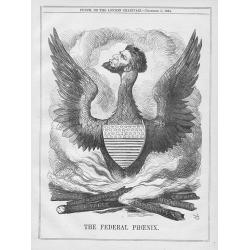
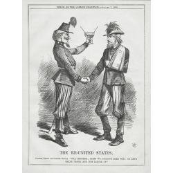
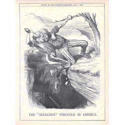
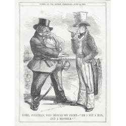
A set of 13 humorous Punch prints dated 1846 1860, 1862, 1863, 1864. All with American, Civil War, Oregon Treaty and Abraham Lincoln interest
Mostly engraved by Sir John Tenniel, Richard Doyle and Joseph Swain. Sir John Tenniel was one of the most important wood engravers of his time. Punch was responsible for ...
Place & Date: London, 1846 - 1864
Selling price: $50
Sold in 2015
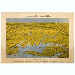
Panorama of the Seat of War. Bird's Eye View of Virginia, Maryland, Delaware and the District of Columbia.
A large chromolithograph by John Bachmann illustrating this fascinating 'aerial' view of the northernmost part of the east coast of the Confederacy, and the southernmost ...
Place & Date: New York, 1864
Selling price: $750
Sold in 2020
Defenses of Washington
An impressive, beautifully detailed Civil War period plan of Washington D.C. showing the city's defenses. The plan is based on surveys completed in mid-1861 by the United...
Place & Date: New York, 1865
Selling price: $180
Sold
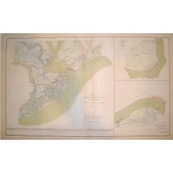
"Map of the Defenses of Charleston City and Harbor Showing also the Works Erected by the U. S. Forces in 1863 and 1864"
A large and handsome chart of Charleston harbor and the city of Charleston originally drawn at the height of the American Civil War (1863-1864). The work shows Charleston...
Place & Date: Washington D. C., ca. 1865
Selling price: $140
Sold
A set of 15 humorous prints. 1859 1847, 1862, 1861, 1865. All with American, Civil War, Oregon Treaty and Abraham Lincoln interest
A set of 15 humorous prints. 1859 1847, 1862, 1861, 1865. All with American, Civil War, Oregon Treaty and Abraham Lincoln interest.Mostly engraved by Sir John Tenniel, Ri...
Place & Date: London 1847 - 1865
Selling price: $50
Sold in 2015
A set of 12 humorous prints. 1846, 1850, 1856, 1862, 1863, 1864, 1865. All with American, Civil War, Oregon Treaty and Abraham Lincoln interest
A set of 12 humorous prints. 1846, 1850, 1856, 1862, 1863, 1864, 1865. Mostly engraved by Sir John Tenniel, Richard Doyle and Joseph Swain. Sir John Tenniel was one of th...
Place & Date: London, 1846 - 1865
Selling price: $55
Sold in 2016
Map of the United States of North America.
A detailed map of the U.S. published at the end of the American Civil War in London by James Wyld. Each state is colored differently, rivers, major settlements and native...
Place & Date: London, ca 1865
Selling price: $150
Sold in 2020
A set of 15 humorous prints. 1846, 1856, 1862, 1863, 1864, 1865, 1866. All with American, Civil War, Oregon Treaty and Abraham Lincoln interest
A set of 15 humorous prints. 1846, 1856, 1862, 1863, 1864, 1865, 1866. All with American, Civil War, Oregon Treaty and Abraham Lincoln interest.Mostly engraved by Sir Joh...
Place & Date: London, 1846 - 1866
Selling price: $65
Sold in 2015
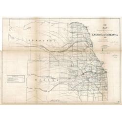
Map Showing the progress of the Public surveys in Kansas and Nebraska
An impressive and important early land survey of Kansas and the Nebraska Territory immediately following the Civil War when America set its sight back on the western fron...
Place & Date: Philadelphia, 1866
Selling price: $450
Sold in 2023
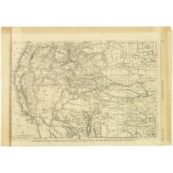
Map Showing the Scene of General Hancocks Operations in the Indian Country, the Forts, military stations, Pacific railroads etc.
A full-page map from Harper's Weekly that is very well engraved and detailed considering it is from a weekly newspaper. The subject of the map is General Hancock's operat...
Place & Date: New York, 1867
Selling price: $50
Sold in 2012
Brazos Santiago, Texas
Completed chart. Area of Padro Island.Brazos Island has a hospital and barracks shown.Quite interesting for this area and time. Dated in plate. Needs bottom re-margining.
Place & Date: 1867
Selling price: $30
Sold in 2016
A Bibliographical and Historical Essay on the Dutch Books relating to New Netherland... Dutch West India Company...
This is the rare original edition of Ashers important reference work. With the large folding map "Novi Belgii..." after Visscher.Additional shipping costs apply...
Place & Date: Amsterdam, 1867
Selling price: $400
Sold in 2019
Singsing Town of Ossining, Westchester Co. N.Y.
Fine lithographed map of Sing Sing and Ossining New York. The map provides the names of specific homeowners, as well as information about the occupations and physical loc...
Place & Date: New York, 1867
Selling price: $200
Sold in 2019
Mamaroneck, Scarsdale, White plans, Harrison & Rye.
Fine lithographed map of Mamaroneck, Scarsdale, White plans, Harrison & Rye. The map provides the names of specific homeowners, as well as information about the occup...
Place & Date: New York, 1867
Selling price: $90
Sold in 2019
Mamaroneck.
Fine lithographed map of Mamaroneck. The map provides the names of specific homeowners, as well as information about the occupations and physical locations of the various...
Place & Date: New York, 1867
Selling price: $75
Sold in 2019
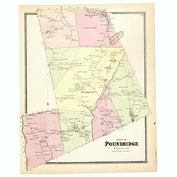
Town of Poundridge.
Fine lithographed map of the town of Poundridge. The map provides the names of specific homeowners, as well as information about the occupations and physical locations of...
Place & Date: New York, 1867
Selling price: $90
Sold in 2017
Port Chester.
Fine lithographed map of Port Chester. The map provides the names of specific homeowners, as well as information about the occupations and physical locations of the vario...
Place & Date: New York, Beers, Ellis, & Soule, 1867
Selling price: $60
Sold in 2016
Plan of New York and Brooklyn.
Fine lithographed map of New York and Brooklyn. The map provides the names of specific homeowners, as well as information about the occupations and physical locations of ...
Place & Date: New York, 1867
Selling price: $100
Sold in 2017
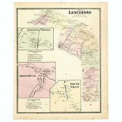
Town of Lewisboro.
Fine lithographed map of the town of Lewisboro. The map provides the names of specific homeowners, as well as information about the occupations and physical locations of ...
Place & Date: New York, 1867
Selling price: $90
Sold
Plans of Westchester, West Farms, Morrisania . . .
Fine lithographed map of Westchester, West Farms, Morrisania. The map provides the names of specific homeowners, as well as information about the occupations and physical...
Place & Date: New York, 1867
Selling price: $90
Sold in 2018
[Official US Government Document.]
An official US government printed document, completed in manuscript. An attractive engraved broadside, signed by President Andrew Johnson appointing John G. Chandler with...
Place & Date: Washington D.C., 1867
Selling price: $350
Sold in 2022
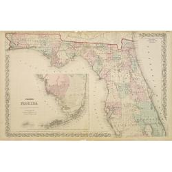
Colton's Florida.
With inset map of the southern part of Florida. Extremely detailed map (scale 1:140.000). On verso one page of text with a wealth of geographical information.
Place & Date: New York, 1868
Selling price: $100
Sold in 2009
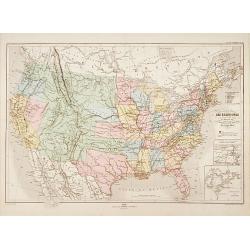
Carte physique et politique des États-Unis..
Very detailed map of the United States. In lower right inset maps of the Great Lakes and the River Niagara.Engraved by Th.Gobert and Langevin. Included in Atlas Général...
Place & Date: Paris, 1870
Selling price: $150
Sold in 2014
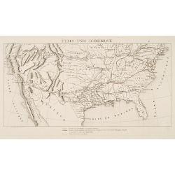
États-Unis D'Amérique.
Rare map of the United States showing the existing roads, the existing roads owned by the Compagnie Transcontinentale Memphis-Pacific and the planned roads of the same co...
Place & Date: Paris 1870
Selling price: $37
Sold
NEW ORLEANS
A handsome panorama of New Orleans as seen in the late 1830's. Perhaps the finest view of the city produced during the 19th century. Several key sites are depicted along ...
Place & Date: New York, c. 1870
Selling price: $80
Sold
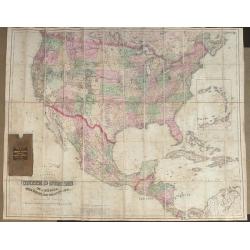
Colton's Map of the United States of America The British Provinces, Mexico and the West Indies, Showing the Country from the Atlantic to the Pacific Oceans.
Large folding map of the United States. Dissected and mounted onto linen in 60 sections. Original linen backing with original slip case. Published by G W & C B Colton...
Place & Date: New York 1870
Selling price: $600
Sold in 2013
The Great Mississippi Steamboat Race.
A very decorative print of a steamboat race. Two riverboats, "Robert E. Lee" at left and "Natchez" at right, race from the right background toward the...
Place & Date: New York, ca. 1870
Selling price: $1350
Sold in 2014
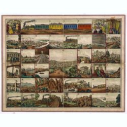
(Voyage from New York to San Francisco upon the Union Pacific Railroad).
Rare Union Pacific railroad game board based on the "new Union Pacific Railroad." The game board shows forty five beautifully executed views of places along the...
Place & Date: c. 1870
Selling price: $1000
Sold in 2014
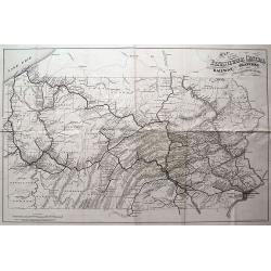
MAP OF THE PENNSYLVANIA CENTRAL RAILWAY, BRANCHES AND CONNECTING LINES.
Rare and interesting railroad map, showing the routes and stops from Philadelphia to Erie, including Pittsburgh. Very detailed with a lot of topographical information.
Place & Date: Washington D.C., 1871
Selling price: $65
Sold in 2013
New York City.
A nice plan of the City of New York, colored by wards. Extends north to Mount Eden, and south to Prospect Park in Brrokly. With good coverage of Manhattan and parts of Br...
Place & Date: New York, 1872
Selling price: $140
Sold in 2020
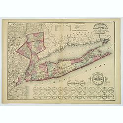
Putnam, Rockland, Westchester, New York, Richmond, Kings, Queens, and Suffolk Counties.
A detailed map of counties encompassing metropolitan New York City. The map highlights Putnam, Rockland and Westchester Counties, New York City, and, most prominently, Lo...
Place & Date: New York, 1872
Selling price: $115
Sold in 2019
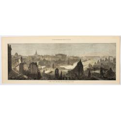
General View of the Ruins after the Great Fire at Boston.
A birds-eye woodcut view of the ruins and the aftermath of the Great Fire of Boston in 1872. The view starkly illustrates those parts of the city that were wrecked, and t...
Place & Date: London, 1872
Selling price: $9
Sold in 2023
City of Boston (From South Boston).
A handsome mid 19th century panoramic view of the city of Boston as seen from the southern part of it's harbor. Many monuments are clearly visible, including the State Ho...
Place & Date: New York, 1873
Selling price: $80
Sold in 2008
New Orleans.
A famous mid 19th century view of the city of New Orleans from its southern dock section. The harbor perspective depicts a variety of river and ocean ships. Major landmar...
Place & Date: New York, 1873
Selling price: $100
Sold
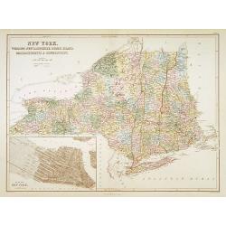
New York. Vermont, New Hempshire, Rhode Island..
A detailed lithographed map of New York, New Hampshire, Vermont, Rhode Island, Massachusetts and Connecticut. With in lower left corner inset-plan of City of New York. Pu...
Place & Date: Edinburg 1874
Selling price: $90
Sold
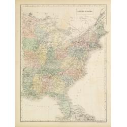
United States.
A detailed lithographed map of the United States. Published by Adam (1784-1874) and Charles Black, publishers active in Edinburgh. Engraved by S.Hall Bury, Bloomsbury. °
Place & Date: Edinburg, 1874
Selling price: $40
Sold in 2011
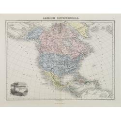
Amérique Septentrionale.
Decorative map of North America from Géographie Universelle, Atlas Migeon. With an engraving lower left corner of the Niagara Falls. Published by J. Migeon. From one of ...
Place & Date: Paris, 1874
Selling price: $60
Sold
[Tittle in Russian] Kapta. . . (Russian Alaska).
Chart of Russian Alaska showing cap Prince of Wales. In two sheets joined as one. Text written in Russian. This detailed large scale chart centers on the extreme north ea...
Place & Date: Moscow, 1874
Selling price: $450
Sold in 2014
BIRDS-EYE VIEW OF BOSTON, UNITED STATES
A fabulous woodcut bird's-eye view of Boston and environs, drawn in the late 1860's or early 1870's. The work provides superb detail and identifies many important sites, ...
Place & Date: Boston, ca. 1875
Selling price: $550
Sold
Untited [Texas, Indian Territory, Kansas, Missouri, Arkansas, Louisiana]
Very detailed map prepared by A.Petermann, illustrating the South Central United States: Texas, Indian Territory, Kansas, Missouri, Arkansas, Louisiana. Great detail in T...
Place & Date: Gotha 1875
Selling price: $75
Sold
Nord-America. Entworfen u. gezeichnet von F. von Stülpnagel.
Large and detailed steel engraving showing North and Central America as well as the Caribbean.Published in Stieler's Hand Atlas.Texas named.
Place & Date: Gotha, 1875
Selling price: $100
Sold in 2017
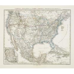
Verein-Staaten von Nord-America, Mexico, Yucatan..
Very detailed map of the United States of America showing the Caribbean. With an inset map of the surrounding area of Mexico city. Details of towns, forts, topo., railroa...
Place & Date: Gotha, 1875
Selling price: $100
Sold in 2020
Moonlight on the Mississippi. Vapeur du Mississippi. Clair de lune sur le Mississippi.
"Moonlight on the Mississippi" showing the Great Republic. A closeup of the famous steamboat said to be surpassed only in size, speed and luxury by the J. M. Wh...
Place & Date: New York, ca. 1875
Selling price: $700
Sold in 2014
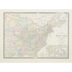
Carte de la region orientale des Éts-Unis et de la dominion du Canada.
Detailed map of The United States of America and Canada, with in lower right corner inset maps of Florida and Newfoundland.Prepared by A.Brué, re-edited by E.Levasseur a...
Place & Date: Paris, 1876
Selling price: $100
Sold in 2020
Machinery Hall - International Exhibition Fairmount Park
Very fine depiction of Machinery Hal at the 1876 International World exhibition in Philadelphia. The building was 1402 feet wide and used 14 acres. The centennial exhibit...
Place & Date: Philadelphia 1876
Selling price: $500
Sold in 2008
Argicultural Hall - International Exhibition Fairmount Park
A very fine depiction of Agricultural Hal at the 1876 International World exhibition in Philadelphia. The building was 826 feet wide and used 10.15 acres. The centennial ...
Place & Date: Philadelphia, 1876
Selling price: $500
Sold in 2008









![[Official US Government Document.]](/uploads/cache/48158-250x250.jpg)





![[Tittle in Russian] Kapta. . . (Russian Alaska).](/uploads/cache/29139-250x250.jpg)

![Untited [Texas, Indian Territory, Kansas, Missouri, Arkansas, Louisiana]](/uploads/cache/23331-250x250.jpg)
