Browse Listings in America
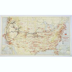
Military Map of the United States / Illustrated Gettysburg Battlefield Map.
The first map of this pair is an attractive general map of the USA Issued by the Union Pacific Railroad during WWII, pictorially showing all the Naval Bases, Army Camps, ...
Place & Date: Chicago, 1942 - Pennsylvannia, 1932
Selling price: $40
Sold in 2019
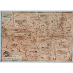
Sante Fe Railway Map - (No Title)
A rare pictorial promotional map published by the Santa Fe Railroad, by B.C. Broome in 1932.The map promotes the lines "Couriercar Indian-detours", stating &quo...
Place & Date: Sante Fe, 1932
Selling price: $80
Sold in 2019
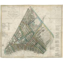
Map of the City of New York with the Latest Improvements
A very fine example of an early edition of Phelps's pocket map of New York City. Dated 1832, this antique map of New York City is one of only a few known examples from th...
Place & Date: New York, 1932
Selling price: $1200
Sold in 2023
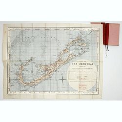
Map of the Bermudas. Compiled from Ordnance Survey Map of 1902, & Admiralty Chart. (1900) Geographical Section. General. Staff. No.3951. Fridded and Railways added 1933. . .
A scarce map of the Bermuda's, compiled from Ordnance Survey Map of 1902, with red grid system and railways added 1933. Scale two inches to one Statute Mile.
Place & Date: London, War Office. 1933
Selling price: $800
Sold in 2017
Mapa Fisico y Politico de los Estados Unidos de Venezuela..
Very large fold-out map of Venezuela, including part of Colombia, Brazil and Guyana. With inset front view of the tallest mountains from the Sierra Nevada to Mount Roraim...
Place & Date: Paris, 1934
Selling price: $250
Sold in 2019
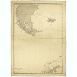
Ocean glacial Antartique - Mers du Cap Horn . . .
Large chart representing the Cap Horn sea, part of Patagonia, Falkland Islands and Palmer Archipelago. A couple of places are highlighted in red.
Place & Date: Paris, 1916 updated to 1934
Selling price: $45
Sold in 2022
Indian episodes of New York State, land of the Hodenosaunee .
Pictorial map of New York State, illustrated and noted throughout with small vignettes of historic locations and events, landmarks, rivers, Native Americans in various ac...
Place & Date: New York, 1935
Selling price: $170
Sold in 2016
Indian Episodes of New York.
A drama-story map of the Empire State, displaying Indian episodes of New York, a lithograph produced by the Rochester Museum of Arts and Sciences.The map is surrounded by...
Place & Date: Rochester, 1935
Selling price: $160
Sold in 2017
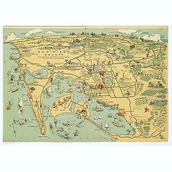
Map of San Diego California City and County.
A lovely folding map of San Diego on one side, and a smaller map of San Diego County on the reverse, together with a comprehensive street index, nice attractive pictorial...
Place & Date: San Diego, ca. 1935
Selling price: $85
Sold in 2017
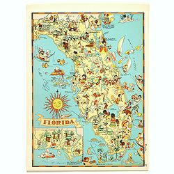
Florida.
Pictorial map of Florida, from the famous illustrator, Ruth Taylor White and published in "Our USA: A Gay Geography".Ruth Taylor White was among the most prolif...
Place & Date: Boston, Little, Brown and Company, 1935
Selling price: $90
Sold in 2017
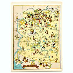
Arizona.
Pictorial map of Arizona, from the famous illustrator, Ruth Taylor White and published in "Our USA: A Gay Geography".Ruth Taylor White was among the most prolif...
Place & Date: Boston, Little, Brown and Company, 1935
Selling price: $35
Sold in 2017
Alaska.
Pictorial map of Alaska, from the famous illustrator, Ruth Taylor White and published in "Our USA: A Gay Geography".Ruth Taylor White was among the most prolifi...
Place & Date: Boston, Little, Brown and Company, 1935
Selling price: $40
Sold in 2018
Michigan.
Pictorial map of Michigan, from the famous illustrator, Ruth Taylor White and published in "Our USA: A Gay Geography".Ruth Taylor White was among the most proli...
Place & Date: Boston, Little, Brown and Company, 1935
Selling price: $85
Sold in 2018
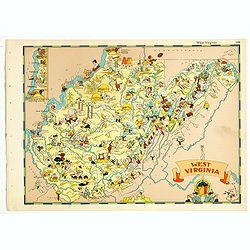
West Virginia.
Pictorial map of West Virginia, from the famous illustrator, Ruth Taylor White and published in "Our USA: A Gay Geography".Ruth Taylor White was among the most ...
Place & Date: Boston, Little, Brown and Company, 1935
Selling price: $60
Sold in 2018
Washington.
Pictorial map of Washington, from the famous illustrator, Ruth Taylor White and published in "Our USA: A Gay Geography".Ruth Taylor White was among the most pro...
Place & Date: Boston, Little, Brown and Company, 1935
Selling price: $115
Sold in 2019
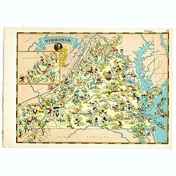
Virginia.
Pictorial map of Virginia, from the famous illustrator, Ruth Taylor White and published in "Our USA: A Gay Geography".Ruth Taylor White was among the most proli...
Place & Date: Boston, Little, Brown and Company, 1935
Selling price: $60
Sold in 2018
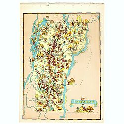
Vermont.
Pictorial map of Vermont, from the famous illustrator, Ruth Taylor White and published in "Our USA: A Gay Geography".Ruth Taylor White was among the most prolif...
Place & Date: Boston, Little, Brown and Company, 1935
Selling price: $60
Sold in 2018
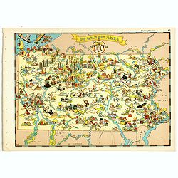
Pennsylvania.
Pictorial map of Pennsylvania, from the famous illustrator, Ruth Taylor White and published in "Our USA: A Gay Geography".Ruth Taylor White was among the most p...
Place & Date: Boston, Little, Brown and Company, 1935
Selling price: $75
Sold in 2018
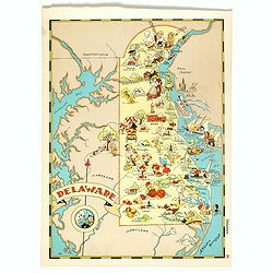
Delaware.
Pictorial map of Delaware, from the famous illustrator, Ruth Taylor White and published in "Our USA: A Gay Geography".Ruth Taylor White was among the most proli...
Place & Date: Boston, Little, Brown and Company, 1935
Selling price: $75
Sold in 2018
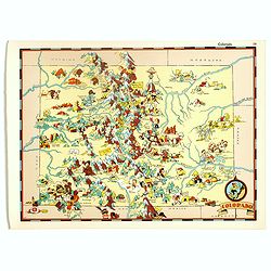
Colorado.
Pictorial map of Colorado, from the famous illustrator, Ruth Taylor White and published in "Our USA: A Gay Geography".Ruth Taylor White was among the most proli...
Place & Date: Boston, Little, Brown and Company, 1935
Selling price: $55
Sold in 2017
Texas.
Pictorial map of Texas, from the famous illustrator, Ruth Taylor White and published in "Our USA: A Gay Geography".Ruth Taylor White was among the most prolific...
Place & Date: Boston, Little, Brown and Company, 1935
Selling price: $100
Sold in 2018
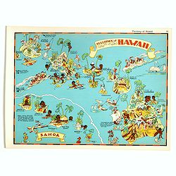
Territory of Hawaii - Samoa.
Pictorial map of Territory of Hawaii - Samoa, from the famous illustrator, Ruth Taylor White and published in "Our USA: A Gay Geography".Ruth Taylor White was a...
Place & Date: Boston, Little, Brown and Company, 1935
Selling price: $125
Sold in 2017
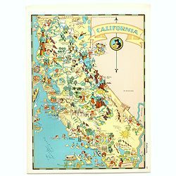
California.
Pictorial map of California, from the famous illustrator, Ruth Taylor White and published in "Our USA: A Gay Geography".Ruth Taylor White was among the most pro...
Place & Date: Boston, Little, Brown and Company, 1935
Selling price: $95
Sold in 2017
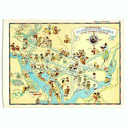
Washington, District of Columbia, the national capital.
Pictorial map of Washington, District of Columbia, the national capital, from the famous illustrator, Ruth Taylor White and published in "Our USA: A Gay Geography&qu...
Place & Date: Boston, Little, Brown and Company, 1935
Selling price: $75
Sold in 2017
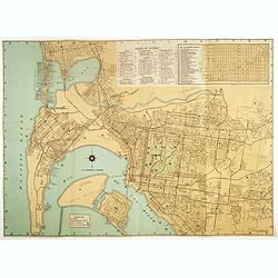
Map of San Diego California City and County.
A lovely folding recreational map of San Diego City & County, Compiled & Copyrighted by Lowell E. Jones. Map of San Diego on one side, and a smaller map of San Di...
Place & Date: San Diego, ca. 1935
Selling price: $80
Sold in 2017
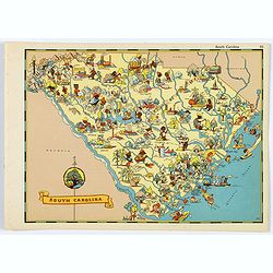
South Carolina.
A fun, humorous, whimsical map of South Carolina by Ruth Taylor White.
Place & Date: Boston, ca 1935
Selling price: $45
Sold in 2020
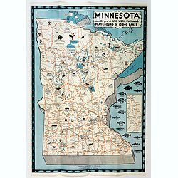
Minnesota invites you to Live-Work-Play in the Playground of 10,000 Lakes.
An attractive three color pictographic map of Minnesota, that folds down to a pamphlet, with numerous color and black and white illustrations on the verso. On the map, sm...
Place & Date: Saint Paul, 1935
Selling price: $55
Sold in 2020
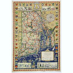
Rhode Island and Providence Plantations. . .
An attractive and uncommon map of the smallest US state of Rhode Island, or officially known as Rhode Island and Providence Plantations. The map is surrounded by a number...
Place & Date: Rhode Island, 1936
Selling price: $130
Sold in 2017
Maine. Its Recreation and History.
A pictorial map of the American state of Maine. This large map is littered with small icons and vignettes as to the various activities that can be had within the state, e...
Place & Date: Augusta, ca. 1936
Selling price: $65
Sold in 2018
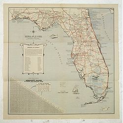
Historical map of Florida showing points of interest to visitors.
Historical map of Florida showing points of interest to visitors, issued by Florida State Department of Agriculture, in 1937 under the commission of Nathan Mayo and T.J.B...
Place & Date: Jacksonville, the Drew Press, 1937
Selling price: $105
Sold in 2012
Reg Manning's Cartoon Map of Arizona.
Original edition of this lively map of Arizona by Reginald W. Manning (1905 – 1986), who was a Pulitzer Prize winning American artist and illustrator, best known for hi...
Place & Date: J.J. Augustin., New York, 1938
Selling price: $70
Sold in 2017
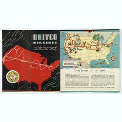
United Airways. A Gay Geography of the Main Line Airway.
A unique United Airlines Booklet, with original wrappers, with color illustrations on each page with pictographic / pictorial maps (16 pages including covers). It is high...
Place & Date: U.S.A., 1938
Selling price: $225
Sold in 2020
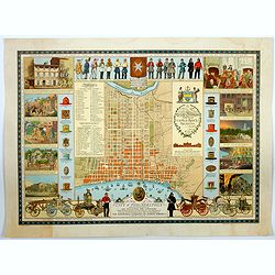
A Map of the City of Philadelphia, showing the Location of the Volunteer Fire Companies. . .
A fine, large pictorial plan of the City of Philadelphia, based on the drawing by Jacob Riegel in 1937, which itself was based on an earlier work dating back to 1794. The...
Place & Date: Philadelphia, 1938
Selling price: $200
Sold in 2021
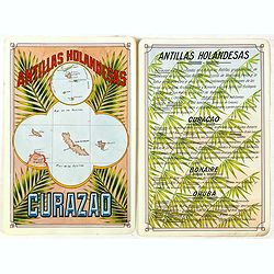
Antilla Holandesas. Curazao.
Unique manuscript map of Curaçao, Bonaire, and Aruba. Award-winning manuscript card, prepared by Antonio Raggio for the 11th Congreso de la Union Postal Universal (World...
Place & Date: Buenos Aires, 1939
Selling price: $375
Sold in 2018
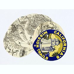
California's Mission Trails.
A most unusual 'disk' shaped series of circular maps taking in the Californian coastline from Los Angeles north to San Francisco America's most beautiful 400 miles.There ...
Place & Date: California, 1939
Selling price: $80
Sold in 2017
Newport / Mount Hope Bridge, RI.
One side shows a large, decorative and colorful map of part of Rhode Island, from Warren Point in the south, to Newport in the west, to Bristol in the north, to Cape Cod ...
Place & Date: Bristol, 1939
Selling price: $65
Sold in 2018
Republica de Venezuela.
A beautiful hand colored, hand drawn map of Venezuela, prepared for the Buenos Aires 1939 Philatelic Exhibition, with separate text with details of the country in Spanish...
Place & Date: Buenos Aires, 1939
Selling price: $28
Sold in 2019
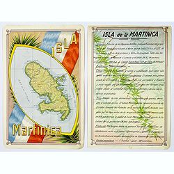
Isla Martinica.
A beautiful hand colored, hand drawn map of the French Caribbean island of Martinique, prepared for the Buenos Aires 1939 Philatelic Exhibition, with separate text with d...
Place & Date: Buenos Aires, 1939
Selling price: $21
Sold in 2019
Océan Atlantique Sud, ile de Fernando-Noronha.
Striking and highly detailed chart of Fernando de Noronha, an archipelago of 21 islands and islets in the Atlantic Ocean.Fernando de Noronha is a volcanic archipelago abo...
Place & Date: Paris, 1929, corrected to 1939
Selling price: $150
Sold in 2020
Historical Map of the Old Northwest Territory.
A large, folding lithographic map of the "Old Northwest Territory" in the time of Thomas Jefferson. This map seems to cover the states of Illinois, Indiana, Ohi...
Place & Date: Ohio, ca. 1940
Selling price: $255
Sold in 2016
On the routes of the Flying Clipper Ships.
A fun, attractive pictorial map of North and South America by the famous aviation artist Kenneth Thompson. The Clipper Ships flew from 1931-1946. A poster that is full of...
Place & Date: USA, ca 1940
Selling price: $265
Sold in 2018
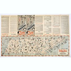
Chuckle Map of Tennessee.
A comic 'look' at the state of Tennessee, packed with highways, towns, points of interest, sports, produce, and lots of cartoon like characters depicting various activiti...
Place & Date: Nashville, ca. 1940
Selling price: $50
Sold in 2018
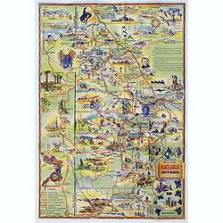
Map of the Black Hills of South Dakota.
A striking and 'busy' map of the Black Hills of South Dakota, "copied from maps compiled by South Dakota State Highway Commission". The entire map is filled wit...
Place & Date: South Dakota, ca. 1940
Selling price: $55
Sold in 2019
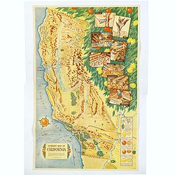
Sunkist Map of California.
A scarce educational map of the Sunkist Fruit Growers guide to operations in California, published during WWII. The map is beautifully presented with several illustrated ...
Place & Date: Los Angeles, 1940
Selling price: $1100
Sold in 2019
Gold Mine brand.
colorful Texas crate label from the Gold Mine brand and shipped by the Valley Fruit Company of Pharr, Texas. The company’s 111,000 sq. ft. packing facility was pivotal ...
Place & Date: Texas, ca. 1940
Selling price: $15
Sold in 2020
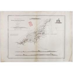
Horta and Pim Bays / Fayal Channel [Azores].
Two charts on one sheet of Horta and Pim Bays and the Fayal Channel in the Azores in the Atlantic Ocean, originally published by the Hydrographic Office in 1849, but this...
Place & Date: London, [1849] 1941
Selling price: $105
Sold in 2019
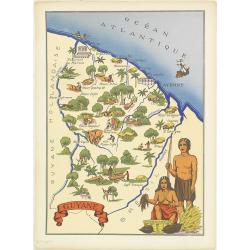
Guyane.
Very decorative, informative map of French Guyne. The map is filled with buildings, animals, figures and two locals in their typical dress.In lower left corner "Impr...
Place & Date: France, 1943
Selling price: $90
Sold in 2014
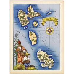
La Guadeloupe La Martinique.
Very decorative, informative map the French islands of Guadeloupe and Martinique among others. The map is filled with buildings, animals, a ship, figures and three locals...
Place & Date: France, 1943
Selling price: $90
Sold in 2010
St. Pierre et Miquelon.
Very decorative, informative map of St. Pierre et Miquelon. The map is filled with buildings, animals, ships and boats, figures, and a local in the typical dress.In the l...
Place & Date: France, 1943
Selling price: $60
Sold in 2011
St. Pierre et Miquelon.
Very decorative, informative map of St. Pierre and Miquelon. The map is filled with buildings, animals, ships and boats, figures, and a local in the typical dress.In the ...
Place & Date: France, 1943
Selling price: $55
Sold in 2016
A Pictorial Map of North America. [signed by Ernest Dudley Chase]
Signed example of Ernest Dudley Chase's pictorial map of North America.According to Rumsey: Pictorial map of the North American continent, from Greenland in the north to ...
Place & Date: Winchester, 1945
Selling price: $325
Sold in 2017
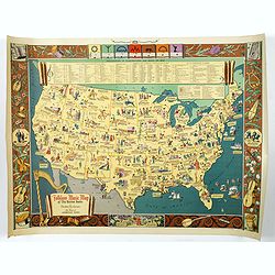
Folklore Music Map of the United States.
A terrific, and unusual, fully colored lithographic map of the Folklore Map of The United States, by Dorothea Dix, and published by the Hagstrom Company Inc of New York i...
Place & Date: New York, 1945
Selling price: $245
Sold in 2018
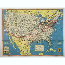
American Airlines Systems Map.
A striking, large poster, or pocket map of American Airlines flagship routes in relation to the air transport system of the United States. Routes flown also include parts...
Place & Date: New York, 1945
Selling price: $50
Sold in 2019
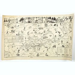
Big Bear Lake Valley.
An unusual 'cartoon' like map of Big Bear Lake Valley, and its Resorts, Sports, and Points of Interest. Big Bear Lake is situated in San Bernadino Co. in California.In ad...
Place & Date: Los Angeles, 1946
Selling price: $260
Sold in 2018
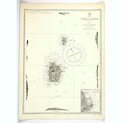
Azores. Corvo and Flores.
A large updated British Sea Chart from an original survey undertaken by Capt. A.T.E. Vidal, R.N. in 1844 of the islands of Corvo and Flores in the Azores Archipelago in t...
Place & Date: London, 1946
Selling price: $45
Sold in 2023
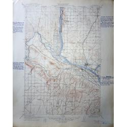
A set of 60 United States Department of the Interior Geological Survey Topographic Maps
The image shown is for Pasco Washington Quadrangle , most are Oregon, Washington and Idaho.The scale is 2 miles to the inch. Many have hand script descriptions in the mar...
Place & Date: 1906 – 1947
Selling price: $120
Sold in 2016
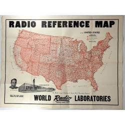
Radio Reference Map.
An interesting advertising map for 'WORLD RADIO LABORATORIES', “The World’s Largest Distributors of Amateur Radio transmitting Equipment”. It shows the monitoring s...
Place & Date: Council Bluffs, 1947
Selling price: $140
Sold in 2018
[Post card] The United states as seen through the eyes of Texas.
Pictorial post card map of North America with the state of Texas taking up the entire middle portion of the map, and a large red heart in the middle reads "Biggest a...
Place & Date: Chicago, 1948
Selling price: $25
Sold in 2017
Nouvelle Angleterre - New York.
An interesting chromolithograph map of New York. Text and corresponding map with lavish vignettes of historic events, activities, crops, modes of transportation, structur...
Place & Date: Paris, 1948
Selling price: $27
Sold in 2018
Greater Portland, Maine.
Pictorial map of Portland, Maine, with decorative title cartouche and 6 views of landmarks at the margins. Design by Edwin Otis Nielsen Shows cities, landmarks, recreatio...
Place & Date: Portland, 1948
Selling price: $425
Sold in 2019
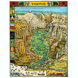
Yosemite
A colorful map of Yosemite Valley drawn by artist Jo Mora in 1931 and re-issued in color in 1941. The map shows many humorous scenes and shows the activities common at th...
Place & Date: Yosemite, Curry Company, 1941/1949
Selling price: $141
Sold in 2019
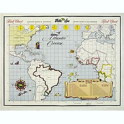
Track Chart
Map of the Atlantic Ocean, used as a hand out to the passangers to keep daily track.
Place & Date: New Orleans, c. 1950
Selling price: $65
Sold in 2015
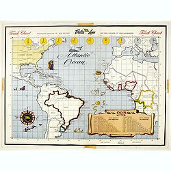
Track Chart.
Map of the Atlantic Ocean, used as a hand out to the passengers to keep daily track.Read more Pictorial Maps [+]
Place & Date: New Orleans, c. 1950
Selling price: $2
Sold in 2017
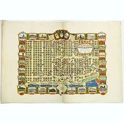
Buenos Aires Capital de La Republica Argentina. Una Nacion Socialmente Justa Economicamente Libre. . .
A beautiful pictorial town plan of the Argentinian Capital Buenos Aires, as published in 1950. The downtown area of side streets and attractive wide avenues are covered w...
Place & Date: Buenos Aires, ca 1950
Selling price: $850
Sold in 2019
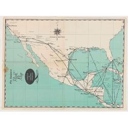
Pan American Flight Map - Mexico & Central America.
Pan American Airlines Flight Map of Mexico & Central America from the mid 1950's.
Place & Date: United States, ca 1950
Selling price: $60
Sold in 2020
Pan American Flight Map - Mexico & Central America.
Pan American Airlines Flight Map of Mexico & Central America from the mid 1950's.
Place & Date: United States, ca 1950
Selling price: $50
Sold in 2020
Air France Amérique du Sud.
Very decorative lithographed advertising poster of South America, for Air France, by Lucien Boucher. The poster has always occupied a special place in Air France's commun...
Place & Date: Imprimerie Perceval, Paris, 1950
Selling price: $1200
Sold in 2020
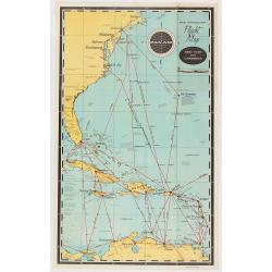
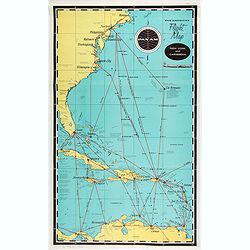
Pan American Airways New York - Caribbean.
Pan American Airlines Flight Map of New York to Caribbean from the mid 1950's.
Place & Date: United States, ca. 1950
Selling price: $50
Sold in 2021
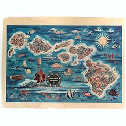
The Dole Map of the Hawaiian Islands.
A terrific, colorful poster of the Hawaiian Islands by Joseph Feher, commissioned for the Hawaiian Pineaple Co. The poster displays all eight of the major islands in the ...
Place & Date: USA, 1950
Selling price: $100
Sold in 2022
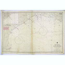
Gulf of Mexico. Ship Shoal to Brazos Santiago.
A large sea chart of the Gulf of Mexico, Ship Shoal to Brazos Santiago, 'from Admiralty Charts and US Government charts, corrected to 1943'. (In fact there are correction...
Place & Date: London, 1951
Selling price: $100
Sold in 2017
The Union Pacific West / Western Wonderlands.
A striking folded pictorial map of The western states of America, from Nebraska and Kansas to the Pacific coast. Inset of the region covered in context of general map of ...
Place & Date: United States, 1951
Selling price: $50
Sold in 2018
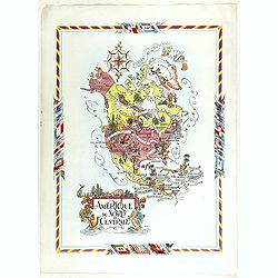
Amérique du Nord et Centrale.
color printed pictorial map of North and Central America, with decorative title cartouche and borders, depict countries, regions, major cities, industries, agriculture, I...
Place & Date: Paris, 1951
Selling price: $110
Sold in 2018
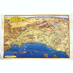
Ride the Roads to Romance along the Golden Coast...
A fun, large folding touring map of the Golden Coast and through the Sunshine Empire of southern California. From just north of Malibu Beach down past San Diego to Ensena...
Place & Date: California, 1952
Selling price: $160
Sold in 2016
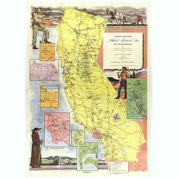
A Map of the Marked Historical Sites of California.
A large, colorful and impressive map of the American state of California, showing the historical sites of the state. There are 496 numbered sites depicted on the map.In a...
Place & Date: California, 1952
Selling price: $140
Sold in 2018
A Map of Downtown Chicago.
Silk map of Chicago’s Loop issued to celebrate the 100th anniversary of Marshall Field & Company.Though it nominally functions as a map of Chicago’s downtown, the...
Place & Date: United-states, 1952
Selling price: $200
Sold in 2021
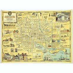
Historical Map of Old Baltimore.
A lovely, detailed map of the old 'downtown' area of Baltimore.
Place & Date: Baltimore, 1954
Selling price: $80
Sold in 2017
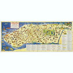
Colorgraph Map of New York.
A colorful, lively map of lower Manhattan, from Harlem south to the Battery. Numerous (380) small color illustrations throughout, depicting all that life in NYC has to of...
Place & Date: New York, 1954
Selling price: $70
Sold in 2017
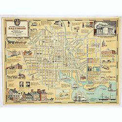
Historical Map of Old Baltimore.
A lovely, detailed map of the old 'downtown' area of Baltimore, with its streets well laid out, with numerous small vignette pictures illustrating historic events and ill...
Place & Date: Baltimore, 1954
Selling price: $100
Sold in 2019
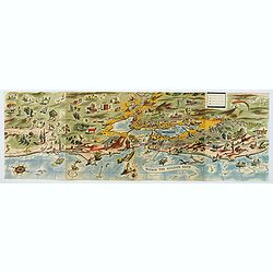
Within the Golden Gate. A survey of the History, Resources, and Points of Interest. . .
A nicely produced brochure of the area around San Francisco, with a delightful fully colored pictorial map of the area as the front and back covers for the brochure. The...
Place & Date: San Francisco, 1955
Selling price: $195
Sold in 2020
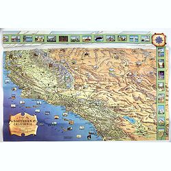
A Pictorial Map of Southern California and adjacent areas.
A beautiful folding map of Southern California, taking the geography from San Francisco to San Diego and the Mexican border. As well as plenty of physical map detail, the...
Place & Date: Los Angeles, ca. 1960
Selling price: $85
Sold in 2017














![Horta and Pim Bays / Fayal Channel [Azores].](/uploads/cache/43825-250x250.jpg)


![A Pictorial Map of North America. [signed by Ernest Dudley Chase]](/uploads/cache/38841-250x250.jpg)
![[Post card] The United states as seen through the eyes of Texas.](/uploads/cache/40291-250x250.jpg)


