Browse Listings in Africa > North Africa > North Africa
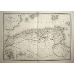
Carte comparée des régences d'Alger et de Tunis
Place & Date: paris, 1829
Selling price: $220
Sold in 2008
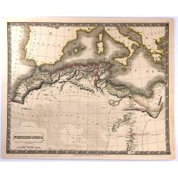
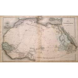
Northern Africa.
An attractive, steel engraved map of North Africa, including Morocco, Algeria, Tunisia and Libya. It was published in Sydney Hall's “A New General Atlas”. It was publ...
Place & Date: London, 1829
Selling price: $30
Sold in 2016
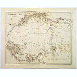
North Western Africa.
A lovely looking steel engraved map of the north western portion of Africa. The map highlights vividly how much exploration was carried on around the coastline, and how t...
Place & Date: London, 1839
Selling price: $125
Sold in 2018
Northern Africa.
Large and detailed map Northern Africa. Shows several routes through the Sahara desert including place names and oasis. However large parts are left blank. An excellent u...
Place & Date: London, ca. 1850
Selling price: $25
Sold in 2016
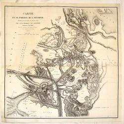
Carte D'Une Portion de L'Abyssinie
Large, detailed, rare map of the coast of Abyssinia, Egypt, Ethiopia, Somalia and the Red Sea. The cartographers were M.M. Ferret and Galinier, the engraver was Henry Coo...
Place & Date: Paris, 1852
Selling price: $220
Sold in 2013
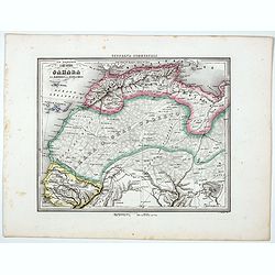
Il Gran Deserto di Sahara . . .
Uncommon map of the Sahara Dessert, Senegal, Morocco and Tunisia, prepared by Francesco Costantino Marmocchi. Above the map "Geografia Commerciale". From "...
Place & Date: Genova, Paolo Rivara fu Giacomo, 1858
Selling price: $25
Sold in 2020
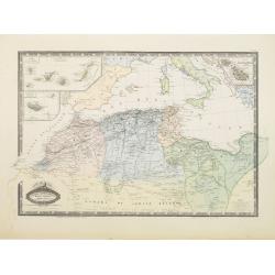
Afrique Septentrionale, Maroc, Algerie.. Canaries..Malte.
Very detailed map from Atlas Sphérodoïdal & Universel de géographie , Prepared by F.A.Garnier and edited by Jules Renouard, rue de Tournon, Paris. Uncommon map wit...
Place & Date: Paris 1861
Selling price: $160
Sold
Carte de la Tunisie.. [2 sheets]
Lithographic map of Tunisia in 2 sheets, extending eastwards as far as Tripoli and including the Jazirat Jalitah sland in the North.
Place & Date: Paris 1889
Selling price: $40
Sold
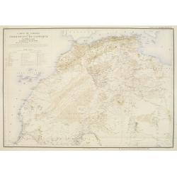
Carte du Sahara et du Nord Ouest de l'Afrique.
Rare and detailed map of northern part of Africa, including Canary Islands. Includes also a translations of some basic words in Arab and Berber. Key to Lieux ou ont été...
Place & Date: Lyon/Paris, 1894
Selling price: $260
Sold
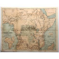
Map of Equitorial Africa Showing Mr. Stanley's Route and All His Principal Discoveries.
A chromo-lithograph map from an unknown book featuring the Welsh reporter Sir Henry M. Stanley's quest to find Dr. David Livingstone, a Scottish missionary presumed lost...
Place & Date: New York, ca. 1900
Selling price: $17
Sold in 2017
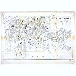
Plan de Tunis edité en 19éé par la librairie Yvorra & Barlier
A large plan of Tunis published by the Tunisian book shop and publisher Yvorra & Barlier.
Place & Date: Tunis, ca 1922
Selling price: $200
Sold in 2020
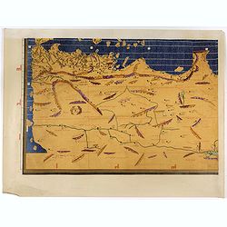
(Single sheet from Tabula Rogeriana world map with North African section.)
Separate single sheet sheet (of 6) with the North African section of the [TABULA ROGERIANA] [NUZHAT AL-MUSHTĀQ FI'KHTIRĀQ AL-ĀFĀQ - TH...
Place & Date: 1151 BUT Suttgart, Konrad Miller, 1928
Selling price: $110
Sold in 2017
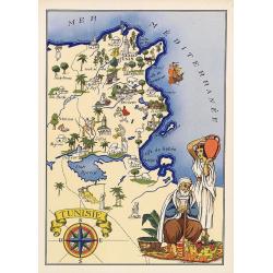
Tunisie.
Very decorative, informative map of Tunesia. The map is filled with buildings, animals, a ship, figures and two locals in their typical dress. With a large compass rose i...
Place & Date: France, 1943
Selling price: $90
Sold in 2018
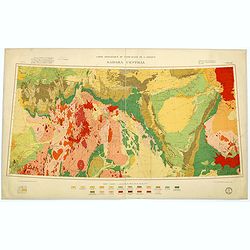
Carte géologique du Nord-Ouest del'Afrique SAHARA CENTRAL.
Geological map showing the Sahara and made by M.Lelubre, R.Karpoff, J.Follot, P.Bordet, A.Cornet, M.Dalloni, etc. Printed by Dufrenoy of Paris.Published by "Comité ...
Place & Date: Paris, c. 1952
Selling price: $160
Sold in 2017
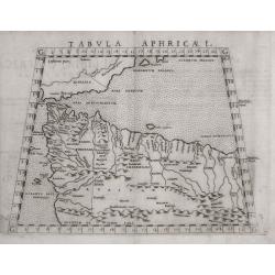
Tabula Aphricae I .
One of the earliest maps of Morocco and Tunisia, the northern coast of Africa, including Gibraltar and the Balearic islands. Early double page copperplate engraving from ...
Place & Date: Venice, 1574
Selling price: $65
Sold in 2014
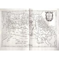
Tab. IV. Africae in qua Libya Interior et Exterior. Aethiopia sub Aegypto et Interior. . .
This finely engraved Ptolemaic map of Northern Africa shows the twin lake sources of the Nile located near the Lune Montes. The Niger River is prominently featured in Lib...
Place & Date: Utrecht, 1695?
Selling price: $130
Sold in 2018
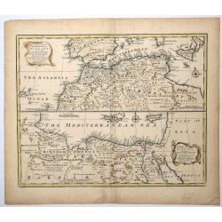
A New & Accurate Map of the Western parts of BARBARY, containing FEZ, MOROCCO, ALGIERS, TUNIS & BILEDULGERID.
An attractive and detailed map of North Africa by Emanuel Bowen (ca.1693-1767) an English engraver, publisher and map seller, active in London from about 1720. Map is enh...
Place & Date: London, ca 1750
Selling price: $31
Sold in 2019
![Carte de la Tunisie.. [2 sheets]](/uploads/cache/23672-250x250.jpg)
