Browse Listings in Africa > North Africa > Egypte
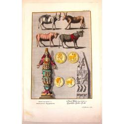
Egyptian Antiquities.
Interesting hand-colored copperplate print featuring items of Egyptian antiquities. Engraved by G.D. Heuman. Johannes Jacob Scheuchzer (1672-1733) is known as the the fo...
Place & Date: Augsberg, 1731
Selling price: $21
Sold in 2015
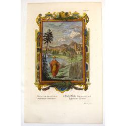
Pharaoh's Dream.
Ornate hand-colored copper engraved print featuring Pharaoh's dream. Behind him is a fictitious Egyptian city of his dream. The engraver was M. Tyroff.Johannes Jacob Sche...
Place & Date: Augsburg, 1731
Selling price: $17
Sold in 2016
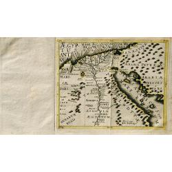
Aegyptus Antiqua.
A rare map of Egypt by Franz Wagner (historian and Jesuit), from "Einleitung in die alte und neuere Geographia". Published and printed by Leopold Hoedl and Fran...
Place & Date: Vienna, ca. 1737
Selling price: $140
Sold in 2019
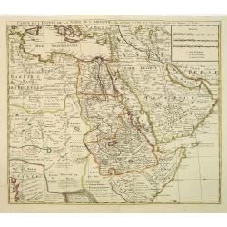
Carte de L\'Egypte de la Nubie de L\'Abissinie. . .
Prepared by G.de l'Isle. Uncommon issue by Hendrik de Leth. Very detailed map of northeastern Africa, the Red Sea and the Arabian peninsula shows the political divisions ...
Place & Date: Amsterdam, 1740
Selling price: $245
Sold in 2012
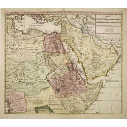
Carte de L'Egypte de la Nubie de L'Abissinie. . .
Prepared by G.de l'Isle. Uncommon issue by Hendrik de Leth. Very detailed map of northeastern Africa, the Red Sea and the Arabian peninsula shows the political divisions ...
Place & Date: Amsterdam, 1740
Selling price: $100
Sold in 2010
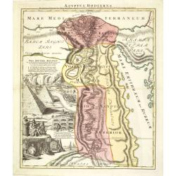
Aegyptus Hodierna. . .
Scarce. A splendid map of ancient Egypt. West is at the top and the Nile bisects Egypt. A small inset shows the region around Alexandria to good detail. With the Red Sea ...
Place & Date: Nurenberg, 1740
Selling price: $375
Sold in 2015
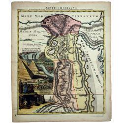
AEGYPTUS HODIERNA.
A scarce and splendid map of ancient Egypt. West is at the top and the Nile bisects Egypt. A small inset shows the region around Alexandria to good detail. With the Red S...
Place & Date: Nurenberg, 1740
Selling price: $300
Sold in 2020
Deserta Aegypti Thebaidis, Arabiae, Syriae etc.
An attractive map of Egypt, northern Arabia, the Holy Land, Syria and Cyprus. From Seutter's "Atlas Novus". Map shows many physical features, biblical scenes, s...
Place & Date: Augsburg, 1741
Selling price: $160
Sold in 2017
Alexandria antiqua juxta mentem . . .
Manuscript hand colored map of the ancient city of Alexandria, probably carried out by P.N. Bonamy. With an inset map. The book "Description of the City of Alexa...
Place & Date: Paris, 1741
Selling price: $300
Sold in 2023
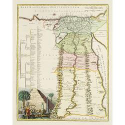
Veteris Aegypti Tabula ex variis auctoribus decerpta..
A very fine map centered on Egypt. Includes also a list of the provinces on the left side. Published by Joseph-Nicolas De l' Isle (or Delisle) (1688-1768), astronomer, ge...
Place & Date: Paris 1743
Selling price: $755
Sold
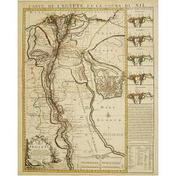
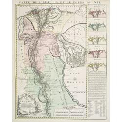
Carte de l'Egypte et le cours du Nil.
Large copper-engraved map illustrating the part of Egypt where the Nile River flows. 5 insets on left margin depicting the river outfall according to Herodotum, Strabonem...
Place & Date: Amsterdam c. 1745
Selling price: $950
Sold
Carte de l'Egypte et le cours du Nil.
Large copper-engraved map illustrating the part of Egypt where the Nile River flows. Five insets on right margin depicting the river outfall according to Herodotum, Strab...
Place & Date: Amsterdam c. 1746
Selling price: $200
Sold in 2016
[2 prints] Cadaver balsamo conditum... / Loculi Conspectus anterior auctior...
Two attractive copper-engravings showing a sarcophagus in great detail. Engraved by James Basire, drawn by George Vertue, published in the first volume of Vetusta Monumen...
Place & Date: London, 1747
Selling price: $70
Sold in 2019
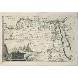
A Map of Ancient Egypt.
A detailed map of Egypt on the Red Sea with Nubia, Arabia by Cellerius in 1747. It features a cartouche of the pyramids.Andreas Cellarius (1596-1665) was an astronomer, m...
Place & Date: Amsterdam, 1747
Selling price: $58
Sold in 2020
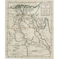
Carte d' l'Egypte ancienne et moderne. . .
Detailed map of the entire Nile Valley from Assouan (Syene) to Damiette from his "Atlas Universel".Gilles Robert de Vaugondy (1688–1766), also known as Le Sie...
Place & Date: Paris, 1750
Selling price: $20
Sold in 2015
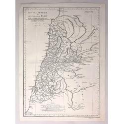
Carte de la Phoenicie et des Environs de Damas.
The eastern part of the Ancient Roman Empire by Anville. It covers the areas of Phoenicia around the city of Damas in Egypt Engraved by De La Haye.Jean Baptiste Bourguig...
Place & Date: Paris, 1752
Selling price: $35
Sold in 2017
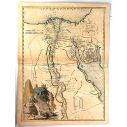
Carte de L'Egypte Ancienne et Moderne. . .
A splendid map of ancient Egypt prepared by R.P.Sicard. From AU 'Préface,' p.31a-b: problem of co-ordinates of Delta: used the observed positions of Alexandra, Peluse, C...
Place & Date: Paris, 1753
Selling price: $50
Sold in 2012
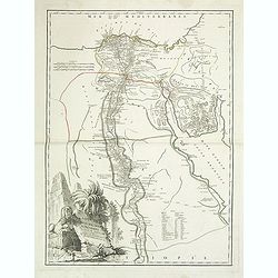
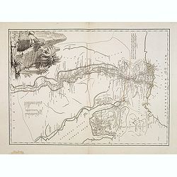
Carte de L'Egypte Ancienne et Moderne.
A fine large map of the Nile River valley with superb detail of cities, towns, villages, canals, pyramids, mosques, ruins and more. Across the Red Sea are details of wher...
Place & Date: Paris, 1753
Selling price: $25
Sold in 2018
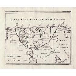
Aegypti Delta et Nili Ostia.
The Nile Delta by Christoph Cellarius from 'Geographia Antiqua'.
Place & Date: Leipzig, 1755
Selling price: $55
Sold in 2013
[Two maps] Aegyptus Marmarica Et Cyrenaica\' and \'Africa Interior.
Present day Egypt from the Nile Delta and the Red Sea west to Libya.'Africa Interior' continues South to the source of the Nile with the White Nile and the Blue Nile in t...
Place & Date: Leipzig 1755
Selling price: $75
Sold in 2013
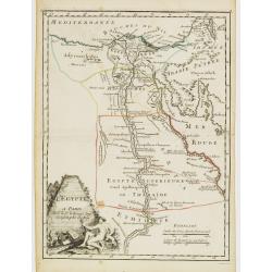
L'Egypte.
Fine map of Egypt. With decorative title cartouche. George Louis Le Rouge was active from 1740- till 1780 as a publisher, and was appointed engineer for the King of Franc...
Place & Date: Paris, 1756
Selling price: $70
Sold in 2011
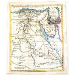
Carte de L\'Egypte Ancienne et Moderne.
A map of Egypt featuring the River Nile down to Assuan. Decorated with a cartouche. JEAN LATTRE ( 1743 - 1793) was a Paris based bookseller, engraver, and map publisher a...
Place & Date: Paris, c1760
Selling price: $55
Sold in 2013
Carte de l'Egypte Ancienne et Moderne.
Jean Lattré, Paris-based engraver and publisher. Worked with Robert de Vaugondy, J. Janvier and R. Bonne. " Atlas Monderne', 1771, 1783 , 1793. Rigobert Bonne, Fren...
Place & Date: Paris, 1762
Selling price: $70
Sold in 2019
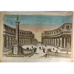
Vue Perspective du Superbe Palais d'Aexandre en Egypte.
A fine hand colored 'vue perspective' of the Hernandre Palais in Egypt. It was produced and hand colorued in Paris at Chez Mondare in 1762.Vues d'optique, was a special t...
Place & Date: Paris, 1762
Selling price: $17
Sold in 2019
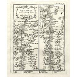
Carte exacte du cours du Nil.
A very detailed map of the Nile river. The banks are filled with place names of forts and villages. The river mouth is at the foot of the map. With a decorative title car...
Place & Date: Paris, 1764
Selling price: $30
Sold in 2018
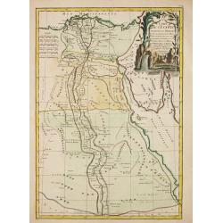
Carte de l'Egypte Ancienne et Moderne, dressee sur celle du R.P. Sicard et autres, assujetties aux observations astronomiques, par le Sr. Robert de Vaugondy
A splendid map of ancient Egypt, shows entire Nile valley in great detail. Large cartouche by Haussard shows ruins and a flirtatious sphinx.The map was prepared by the Ve...
Place & Date: Venice, 1779
Selling price: $240
Sold in 2009
Le Kaire [Cairo.]
A very strong fine view of Cairo. Many pleasure boats are seen in the foreground, and many fine buildings front the shoreline. An attractive 'busy' print.
Place & Date: Paris, ca 1780
Selling price: $350
Sold in 2021
Carte de l'Egypte ancienne et moderne . . .
Attractive map of Egypt, ornated with a decorative title cartouche. Boundaries outlined in hand color.Prepared by Le Sieur Janvier, Jean Denis [Robert], French geographer...
Place & Date: Paris, ca 1783
Selling price: $38
Sold in 2019
A Map of Ancient AEGYPT from Celarius.
A Map of Ancient Egypt from Celarius, by Thomas Stackhouse, from "Universal Atlas".A map of ancient Egypt showing the cities, pyramids and topography. As state...
Place & Date: London, 1785
Selling price: $60
Sold in 2012
Aegyptus.
An attractive 18th century map of Egypt, published by Rigobert Bonne, the Royal Hydrographer to the King of France. It features the Nile River from the mouth to the Tropi...
Place & Date: Paris, 1787
Selling price: $27
Sold in 2017
Karte von Africa.
A large copper-engraved wall map of Africa by H. Benedicti after R. de Vaugondy's map of Africa, published by F. A. Schraembl in 1787. This is only the top right sheet of...
Place & Date: Paris, 1787
Selling price: $60
Sold in 2020
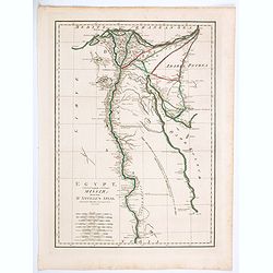
Egypt, Called in the Language of the Country Missir drawn from D'Anville's Atlas.
A map of Egypt after the French cartographer d'Anville, showing the Nile from source, south to Aswan. Quite detailed either side of the Nile and up in the Nile Delta to t...
Place & Date: London, 1788
Selling price: $11
Sold in 2020
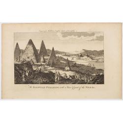
The Egyptian Pyramids with a View of part of the Nile &c.
A rather fanciful and possibly imagined copperplate view of the famous Egyptian Pyramids, (which all come to very pointy tips!) and the covering part of the mighty river ...
Place & Date: London, ca 1790
Selling price: $3
Sold in 2023
Egypt, Nubia and Abissinia.
Uncommon miniature map from Gibson's "Atlas Minimus, or a New Set of Pocket Maps of the several Empires, Kingdoms and States of the known World".
Place & Date: London, 1792
Selling price: $40
Sold
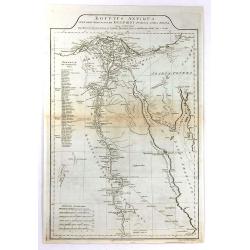
Aegyptus Antiqua Mandato Serenissimi Delphini Publici Juris Facta.
A large detailed map of Ancient Egypt, covering from the Nile Delta and Gaza, southward as far as Aswan. Features both ancient and contemporary place names for each desti...
Place & Date: London, 1794
Selling price: $30
Sold in 2016
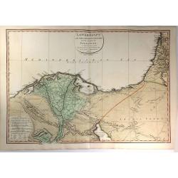
Lower Egypt and the Adjacent Deserts, with a part of Palestine; to which has been added the Nomenclature of the Roman age
A pleasing map featuring the site of Napoleon’s campaign in Egypt, Palestine, and Syria, (1798-1801). Detail is given to the network of roads, rivers, and canals criss-...
Place & Date: London, 1802
Selling price: $114
Sold in 2020
A new Map of Egypt From the Latest Authorities.
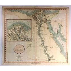
A striking example of this detailed map of Egypt, the Gulf of Suez, Red Sea and the Course of the Nile, with a large inset of the Nile Delta. Published by John Cary in Lo...
Place & Date: London, 1805
Selling price: $95
Sold in 2017
Carte de l'Egypte . . .
Map of Egypt, from Atlas moderne portatif composé de vingt-huit cartes sur toutes les parties du globe terrestre .. A l'usage des Colléges, des Pensions & des Maiso...
Place & Date: Paris, Prudhomme, Levrault, Debray, 1806
Selling price: $120
Sold in 2011
[BATTLE PLANS]
Two general plans of the Battles of Pyramides and Aboukir, dated 1798 and 1799, showing the events when Napoleon defeated the Egyptian and Turkish armies.
Place & Date: Paris, 1810
Selling price: $32
Sold in 2016
Egypt & Abyssinia.
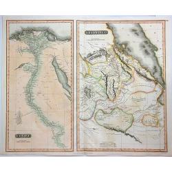
A fine map of Egypt and Abyssinia by Thomson. It includes two maps on a single sheet, namely, Egypt and Abyssinia.The map of Egypt covers the area from the Nile Delta sou...
Place & Date: Edinbourgh, 1817
Selling price: $30
Sold in 2023
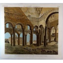
Le Kaire (Citadelle) Vue Interieure D'Une Mosquee. . .
A fine plate from 'Description de l'Egypte', the important publication by the French government detailing the results of the Napoleon's pioneering military and scientific...
Place & Date: Paris, ca 1820
Selling price: $140
Sold in 2018
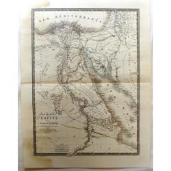
Carte Generale de L'Egypte et de L'Arabie Petree.
Fine, detailed map of Egypt and Saudi Arabia. From Atlas Universel. By Adrian Brue, the royal cartographer.
Place & Date: Paris, 1822
Selling price: $20
Sold in 2017
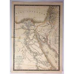
Carte generale L'Egypte Ancienne de la Palestine et de L'Arabie Petree.
A pleasing map featuring Ancient Egypt including Palestine and Arabia. It is by Brue from his "Atlas Universel", and was engraved by L'Auteur.
Place & Date: Paris, 1822
Selling price: $10
Sold in 2017
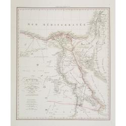
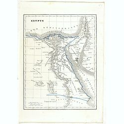
Egypte . . .
Detailed map of Egypt, prepared by A. H. Basset, rue Saint-Jacques, no. 64, Paris and published in Atlas classique et Universel de Géographie . . . .The engraver of the ...
Place & Date: Paris, A.H. Basset, 1828
Selling price: $150
Sold in 2011
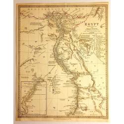
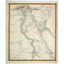
Egypt
Impressive map of Egypt by the Diffusion of Useful Knowledge, or S.D.U.K . It depicts Egypt, centered on the Nile River from the Mediterranean on the south as far as Nub...
Place & Date: London, 1831
Selling price: $30
Sold in 2015
Aegypti Antique Tabula
A fine map of ancient Egypt, with the early names of the settlements along the Nile River, engraved by F. Delamarche and published in Paris in 1831.C.F. Delamarche (1740-...
Place & Date: Paris, 1831
Selling price: $15
Sold in 2018
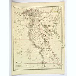
Egypt.
Quite a striking, large steel engraved map of Egypt. Following the course of the River Nile from Lower Egypt southwards to Upper Egypt, then crossing the border with Nubi...
Place & Date: London, 1832
Selling price: $50
Sold in 2019
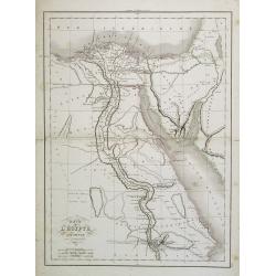
Egypte Ancienne.
Fine map of ancient Egypt.From Malte-Brun's Atlas Géographie Universelle.. ., revised by Jean Jacques Nicolas Huot.This very fine executed map has been printed by Fosset...
Place & Date: Paris 1837
Selling price: $20
Sold
Égypte Nubie & Abyssinie.
Fine map of Egypt.From Malte-Brun's Atlas Géographie Universelle.., revised by Jean Jacques Nicolas Huot.This very fine executed map has been printed by Pierre Sarrazin ...
Place & Date: Paris, 1837
Selling price: $15
Sold
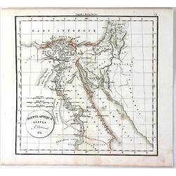
Carte de L'Egypte Ancienne par Delamarche.
Steel engraved map of ancient Egypt.
Place & Date: Paris, 1837
Selling price: $25
Sold in 2016
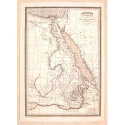
Afrique Orientale Comprenant L'Egypte, La Nubie, L'Abyssinie.
Detailed map of Western Africa including Egypt and Nubia. Published by Aubree Armand in Paris in 1837. Engraved by I. Grenier and printed by Mangeon.
Place & Date: Paris, 1837
Selling price: $20
Sold in 2015
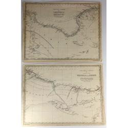
Two S.D.U.K. Maps - North Africa or Barbary IV & V
Two detailed maps of North Africa or Barbary by S.D.U.K. published in London in 1837 by Chapman & Hall. “North Africa or Barbary IV” covers TRIPOLI and “North ...
Place & Date: London, 1837
Selling price: $6
Sold in 2016
Egypte Nubie et Abyssinie.
Finely engraved map of Egypt prepared by A.H.Dufour and engraved by Giraldon-Bovinet. Published by Jules Renouard in his uncommon atlas "Le globe Atlas classique Uni...
Place & Date: Paris, Jules Renouard, ca.1840
Selling price: $45
Sold in 2012
Egypt.
A nice, large scale map of Egypt, published by Longman & Co. toward the middle of the 19th century. Unsurprisingly, most of the cartographic detail centers around the...
Place & Date: London, 1840
Selling price: $13
Sold in 2021
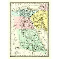
Egypte.
Detailed map of Egypt, prepared by Charles V. Monin (fl.1830-1880) a French cartographer of Caen and Paris. Published in Atlas Universel de Géographie Ancienne &c Mo...
Place & Date: Paris, 1845
Selling price: $40
Sold in 2022
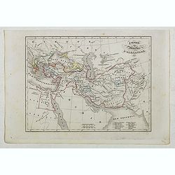
Empire et Marches D'Alexandrie.
Detailed map of Egypt, part of Arabia, prepared by Charles V. Monin (fl.1830-1880) a French cartographer of Caen and Paris. Published in Atlas Universel de Géographie An...
Place & Date: Paris, 1845
Selling price: $8
Sold in 2023
Egypte Nubie et Abyssinie..
Decorative map of Egypt and the Red Sea, prepared by J.G.Barbié du Bocage.Engraved by Ch.Smith, published by Basset who was established in Paris, rue de Seine 33. From a...
Place & Date: Paris, 1846
Selling price: $10
Sold
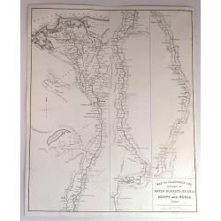
Map to Illustrate the Sketches of David Roberts, Esq. in Egypt and Nubia, 1849.
An original lithograph for the subscription edition of David Robert's “Egypt and Nubia”, published by F.G. Moon & Son, London, 1846-49.Tripartite map of the Nile ...
Place & Date: London, 1849
Selling price: $75
Sold in 2017
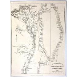
Map to Illustrate the Sketches of David Roberts, Esq: R.A. in Egypt and Nubia
An original lithograph map for the subscription edition of David Robert's “Egypt and Nubia”, published in London by F.G. Moon & Son in 1846. It is a tripartite ma...
Place & Date: London, 1849
Selling price: $51
Sold in 2016
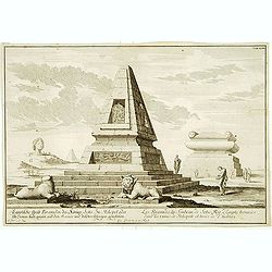
Les Pyramides du tombeau de Sotis?
Imaginary view.
Place & Date: France c.1850
Selling price: $40
Sold
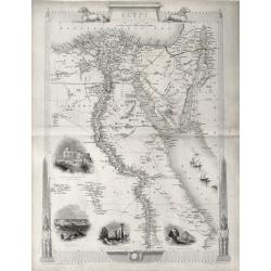
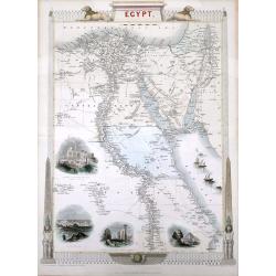
'EGYPT AND ARABIA PETRAEA'
A highly decorative and detailed mid-19th century map of Egypt with large vignettes of the Mosque of the Sultan Hassan, Alexandria, Ruins of the Great Temple Karnac, Grea...
Place & Date: London 1851
Selling price: $80
Sold in 2016
Egypt, and Arabia Petraea
A highly decorative and detailed mid-19th century map of Egypt. Very detailed with many places named along the Nile river, and several Oasis shown, complete with vignette...
Place & Date: London, ca 1852
Selling price: $85
Sold in 2016
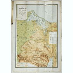
Percement de l'isthme de Suez. Atlas des cartes, plans, sondages, profils et forages à l'appuie du projet de la commission internationale. . .
Atlas from the third series only illustrated with 12 plates, maps, plans, sections and elevations, most folding.Surveys carried out in 1855 and 1856 in the Suez Isthmus f...
Place & Date: Paris, aux bureaux de L'Isthme de Suez, Henri Plon, 1856
Selling price: $500
Sold in 2020
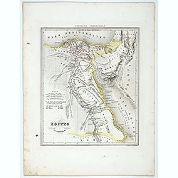
Egitto.
Uncommon map of Egypt prepared by Francesco Costantino Marmocchi. Above the map "Geografia Commerciale". From "Il Globo Atlante di carte Geografiche compil...
Place & Date: Genova, Paolo Rivara fu Giacomo, 1858
Selling price: $30
Sold in 2021
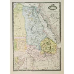
Afrique Orientale, L'Egypte, L'Abyssinie..Takbour Oriental.
Very detailed map from Atlas Spherodidal & Universel de geographie , Prepared by F.A.Garnier and edited by Jules Renouard, rue de Tournon, Paris. Uncommon map with de...
Place & Date: Paris, 1860
Selling price: $60
Sold in 2008
Lot of eleven chromolithographed plates showing Napoleon in Egypt.
Lot of 11 similar sheets with chromolithographed scene of "Battle of the Pyramids" after a painting of Antoine-Jean Gros.
Place & Date: France, ca. 1860
Selling price: $200
Sold in 2018
Plan du Port et du Mouillage de Suez..
A very detailed and historically important of the Suez bay showing a plan of the town Suez, and the entry of the Suez canal. The map is updated to August 1869, only a fe...
Place & Date: Paris, 1869
Selling price: $300
Sold in 2012
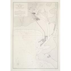
[2 sheets] Cartes du Canal de Suez.. 1ère Partie. De Port-Saïd a Kantara. 2ème Partie. De Kantara aux Lacs Amers./ 3ère Partie. De L'Entrée Nord Dans Les Lacs Amers A Suez.
A set of two detailed charts: The first and second part on one sheet illustrating 2 parts of the Suez Canal and its surroundings, from Port Said to Al Qantarah and from t...
Place & Date: Paris, 1869
Selling price: $300
Sold in 2012
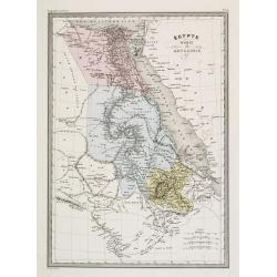
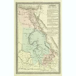
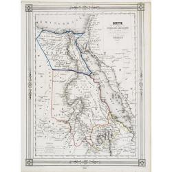
Egypte Moderne. Nubie, Abyssinie, Kordofan, Darfour, et une partie de l'Arabie.
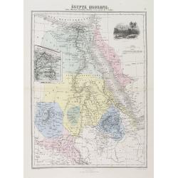
A decorative map of Egypt from Géographie Universelle, Atlas Migeon. With an inset map of the Suez Canal center left and an engraving of Jerusalem upper right corner. Pu...
Place & Date: Paris, 1874
Selling price: $50
Sold in 2011
Egypt, by J. Arrowsmith.
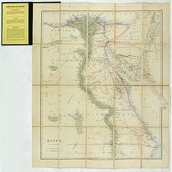
Charming, folding map of Egypt, northern part of the Red Sea, giving a detailed overview of the Nile.In lower left a scale.Still in its original publisher's yellow advert...
Place & Date: London, ca. 1875
Selling price: $500
Sold in 2017
Mosquée sépulcrale de Qaytbay.
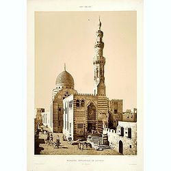
To the right of the portal is a stone minaret, carved with stars in high relief. Rising from the structure on the southeast side is a small but magnificent mausoleum dome...
Place & Date: Paris, 1877
Selling price: $120
Sold in 2009
Un chalet. Illustrations des séances de Hariry.
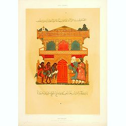
Beautiful plate designed by Yahia el-Wacetty, lithographed by J. Coin. From Prisse d'Avennes' "L'Art Arabe d'après les monuments du Kaire". Emile Prisse d'Aven...
Place & Date: Paris, 1877
Selling price: $40
Sold in 2009
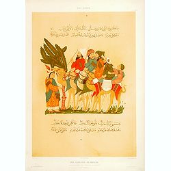
Une caravane en marche. Illustrations des séances de Hariry.
Beautiful plate designed by Yahia el-Wacetty, lithographed by J. Coin. From Prisse d'Avennes' "L'Art Arabe d'après les monuments du Kaire?". Emile Prisse d'Ave...
Place & Date: Paris, 1877
Selling price: $50
Sold in 2019
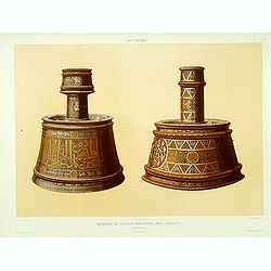
Mobilier du Soultan Mohammed Ben Qalaoûn.
Lithographied by Lemoine representing the base of a candlestick. From the author's "L'Art Arabe d'après les monuments du Kaire?". Emile Prisse d'Avennes, Orien...
Place & Date: Paris, 1877
Selling price: $60
Sold
Dernière page d'un Qorân de la Mosquée de Soultan Barqouq.
Lithograph by Daumont. From the author's "L'Art Arabe d'après les monuments du Kaire?". Emile Prisse d'Avennes, Orientalist & Muslim convert, obsessive in ...
Place & Date: Paris, 1877
Selling price: $45
Sold
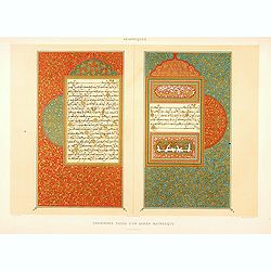
Premières pages d'un Qorân Mauresque.
Lithograph by Daumont. From the author's "L'Art Arabe d'après les monuments du Kaire?". Emile Prisse d'Avennes, Orientalist & Muslim convert, obsessive in ...
Place & Date: Paris, 1877
Selling price: $40
Sold
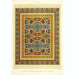
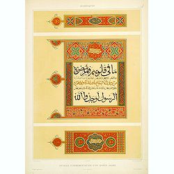
Détail d'ornementation d'un Qorân arabe.
Lithograph by Daumont. From the author's "L'Art Arabe d'après les monuments du Kaire?". Emile Prisse d'Avennes, Orientalist & Muslim convert, obsessive in ...
Place & Date: Paris, 1877
Selling price: $40
Sold
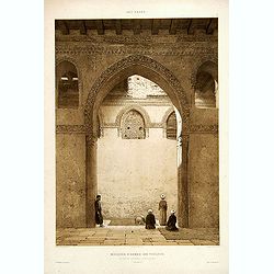
Mosquée d'Ahmed-Ibn-Touloun.
Lithograph by Philippe Benoist representing the interior of the mosque of the founder of the Toulounid Dynasty, also showing religious making the prayer. From the author'...
Place & Date: Paris, 1877
Selling price: $95
Sold
Mosquée de Qaytbay.
Lithograph by F. Sorrieu representing the Mihrab and the Minbar of Qaytbay's mosque, also showing religious making the prayer. From the author's "L'Art Arabe d'aprè...
Place & Date: Paris, 1877
Selling price: $120
Sold
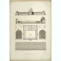
Mosquée d'El-Daher.
Lithographed by Jules Penel. From the author's "L'Art Arabe d'après les monuments du Kaire.". Emile Prisse d'Avennes, Orientalist and Muslim convert, obsessive...
Place & Date: Paris, 1877
Selling price: $10
Sold in 2009


![[2 prints] Cadaver balsamo conditum... / Loculi Conspectus anterior auctior...](/uploads/cache/82536-250x250.jpg)
![[Two maps] Aegyptus Marmarica Et Cyrenaica\' and \'Africa Interior.](/uploads/cache/92137-250x250.jpg)

![Le Kaire [Cairo.]](/uploads/cache/85334-250x250.jpg)

![[BATTLE PLANS]](/uploads/cache/95908-250x250.jpg)

![[2 sheets] Cartes du Canal de Suez.. 1ère Partie. De Port-Saïd a Kantara. 2ème Partie. De Kantara aux Lacs Amers./ 3ère Partie. De L'Entrée Nord Dans Les Lacs Amers A Suez.](/uploads/cache/23502-250x250.jpg)
