Browse Listings in Africa > North Africa > Canary Islands
[Cultivation of grapes on Madeira].
On recto an early representation of the cultivation of grapes (58x73 mm) on the island of Madeira. On verso a representation of a dog (42x75 mm) and of an exploding volca...
Place & Date: Basle 1575-1580
Selling price: $10
Sold in 2015
Descriptio Insularum Canariarum.
A beautiful miniature map by Bertius shows the Canary islands with Palma, Gomera, Ferro, Tenerifa, Gran Canaria, Forte Ventura and Lanzerote. Decorative, ornamental title...
Place & Date: Amsterdam, 1606
Selling price: $50
Sold in 2019
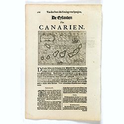
Canariae I.
Small map of the Canary Islands, surrounded by text in Dutch. Nicolaes de Clerck (de Klerc) was active as engraver and publisher in Delft from 1599-1621.Included in the r...
Place & Date: Amsterdam, Cloppenburch, 1621
Selling price: $90
Sold in 2016
Canariae I.
Small map of the Canary Islands, surrounded by text in Dutch. Nicolaes de Clerck (de Klerc) was active as engraver and publisher in Delft from 1599-1621.Included in the r...
Place & Date: Amsterdam, Cloppenburch, 1621
Selling price: $90
Sold
[Dutch fleet attacking Spanish fortess of Gratiosa on Gran Canaria].
Scarce print with a German text sheet showing a fierce battle taking place between Spanish and Dutch forces. From de Bry's "Great American Voyages". Johann Theo...
Place & Date: Frankfurt, M.Merian, 1633
Selling price: $45
Sold in 2018
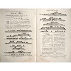
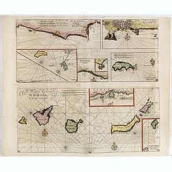
De Kust van Barbarien. . . / De Reede voor de Stadt Angra. . . / De Eylanden van Madera. . . / De Vlaamsche Eylanden By Jacob Colom. . . /
Rare of the Canaries. Lower right pagination number 35. Unusually large scale chart. Eight charts on one sheet, with on verso Dutch text and two wood cut profiles of Mar...
Place & Date: Amsterdam, 1658
Selling price: $800
Sold in 2018
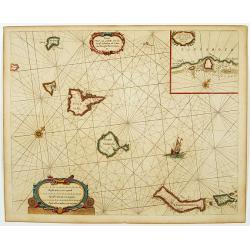
Caarte voor.. Canarise Eylanden als Canaria, Tenerifa..
Very rare chart of the Canaries. Showing Palma, Ferro, Tenerife, Gran Canary, Forte Ventura, Lancelot. In upper right hand corner inset of harbor of Lancerota.Pieter Goos...
Place & Date: Amsterdam, 1666
Selling price: $1050
Sold in 2017
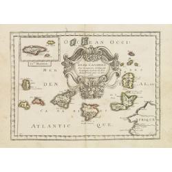
Isles Canaries. . .
Map of Canary Islands prepared by N.Sanson and published by Pierre Mariette.Published in an early edition of the small Sanson atlas L'Europe Dediée a Monseigneur . . . L...
Place & Date: Paris, P. Mariette, 1667
Selling price: $230
Sold in 2011
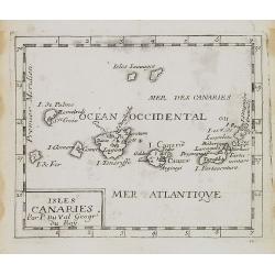
Isles Canaries.
Uncommon miniature map of Canary Islands from Pierre Duval's La Geographie Universeille dated 1676. Following his Cartes de geographie in 1657, Pierre Duval published thi...
Place & Date: Paris, 1676
Selling price: $50
Sold in 2008
Insulae Canariae Alias Fortunatae dictae.
A well engraved and highly detailed chart including the Canary islands.
Place & Date: Amsterdam, 1680
Selling price: $700
Sold
Insulae Canariae alias Fortunatae
A 17th century copper-engraved map (nautical chart) of the Canary Islands and Madeira, from a French edition of Olfert Dapper's ´Naukeurige Beschrijvinge der Afrikaensch...
Place & Date: Amsterdam, 1686
Selling price: $220
Sold in 2023
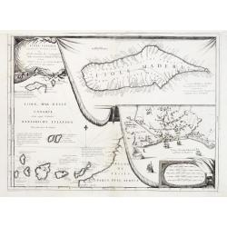
Isole Canarie..
Decorative and highly detailed map of the Islands of the Canaries and Madeira, with a large inset of the port of Funchal. Includes two decorative cartouches.The remarkabl...
Place & Date: Venice 1690
Selling price: $350
Sold
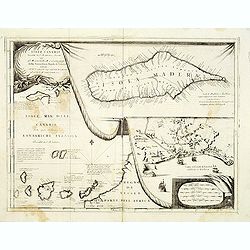
Isole Canarie. . .
Decorative and highly detailed map of the Islands of the Canaries and Madeira, with a large inset of the port of Funchal. Includes two decorative cartouches.On verso Ital...
Place & Date: Venice, ca.1696
Selling price: $275
Sold in 2012
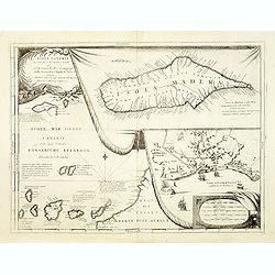
Isole Canarie. . .
Decorative and highly detailed map of the Islands of the Canaries and Madeira, with a large inset of the port of Funchal. Includes two decorative cartouches.On verso a vi...
Place & Date: Venice, 1698
Selling price: $450
Sold in 2012
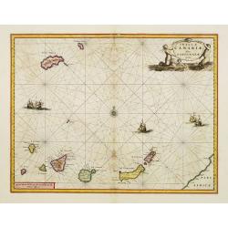
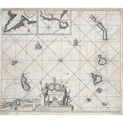
Nieuwe Pascaert van al de Carnarisse Eylande.
One of the most rare and sought after early maps of the Canary Islands. This large nautical map includes a latitude scale, a compass rose in the centre and a complex syst...
Place & Date: Amsterdam, 1700
Selling price: $420
Sold in 2017
Canary, Azores+Cape Verde Islands. -ARCHIPELAGUS ATLANTICUS, CUM SUIS INSULIS CANARIIS, HESPERIDIBUS [CAPE VERDE] ET AZORIBUS.
A very decorative map of Northwestern Africa and the Canary, Azores and Cape Verde Islands, with a large inset of Tenerife and Grand Canary Island. The richly decorated m...
Place & Date: Munich, 1702
Selling price: $300
Sold in 2021
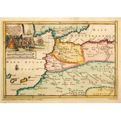
Barbaryen.
Pieter van der Aa was a prolific publisher. He published a.o. ' Naaukeurige versameling der gedenkwaardigste zee- en land-reysen', a series of accounts of voyages (1706-0...
Place & Date: Leiden, 1707
Selling price: $125
Sold
The Making of the Canary Islands.
The Making of the Canary Islands, a woodblock chart by Samuel Thornton showing the approaching coast lines of The Island of Madera, Gran Canaries and Island of Palma on t...
Place & Date: London, 1711
Selling price: $50
Sold in 2014
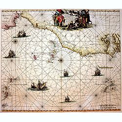
Barbariae et Guineae Maritimi a Freto Gibralta ad Fluvium Gambiae cum Insulis Salsis Flandricis et Canaricis.
Very decorative sea chart of North-West Africa. Including Canary Islands and Cape Verde Islands.The chart appeared De Wit's sea atlas, the "Orbis Maritimus". Th...
Place & Date: Amsterdam, 1740
Selling price: $450
Sold in 2017
Carte des Isles Canaries..
A good engraved map of the Canary islands, with rococo title cartouche upper part. From l'Histoire générale des voyages .
Place & Date: Paris 1746
Selling price: $50
Sold
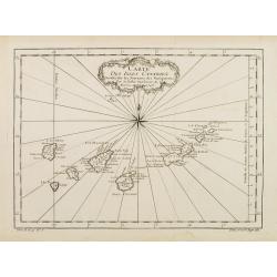
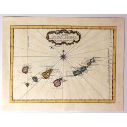
Carte Des Isles Canaries
Detailed map of the Canary Islands, with towns, ports, etc. Produced by Bellin, Ingenieur de la Marine, for Prevost d'Exiles important travel book, "L'Histoire Gener...
Place & Date: Paris, 1746
Selling price: $47
Sold in 2015
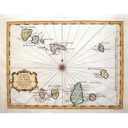
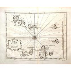
Carte des Isles du Cap Verd.
Striking map of the Cape Verde Islands off the coast of Africa. Fancy cartouche and interesting, unique compass rose.By Bellin from the Abbe Prevost d'Exiles.
Place & Date: Paris, 1747
Selling price: $35
Sold in 2016
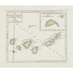
Les Isles Canaries. / Isles de Madere et Porto-Santo.
Charming small map of the Canary Islands. With an inset map of the Madeira Islands in the upper right corner. "Premier Meridien fixe à l'Isle de Fer par la Declarat...
Place & Date: Paris, later than 1748
Selling price: $150
Sold in 2012
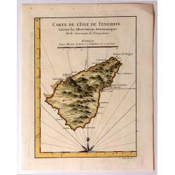
Carte de l'Isle de Teneriffe, Suivant les Observations Astronomiques
A attractive map of the island of Tenerife (Canary Isles) which was produced by Jacques Nicolas Bellin (1703-1772) and published in Prevost's “L'Histoire Générale d...
Place & Date: Paris, 1750
Selling price: $61
Sold in 2015
Paskaart van de Cust van Portugal, Barbaria, en Genehoa. Beginnende van d' Barlenges tot aan C. Verde. Met al zyn Diepte en Drooghte dus ver Naaukeurig opgesocht door Ervaren Stuurlieden.
Fine sea chart of the Azores, Canary and Cape Verde island groups that were so important to the Atlantic trade routes. The large pictorial cartouche includes a group of E...
Place & Date: Amsterdam, 1751
Selling price: $250
Sold in 2015
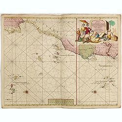
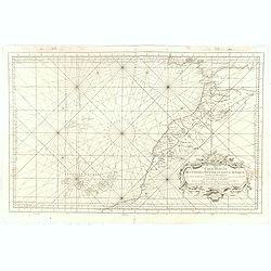
Carte Reduite Des Costes Occidentales D'Afrique Premiere Feuille contenant Les Costes de Barbarie depuis le Detroit de Gibraltar jusqu'au Cap Bojador Et Les Canaries . . . MDCCLIII
A well engraved and highly detailed of the Canary Islands, Madeira, from the Straits of Gibraltar to Cap Bojador, and the coast of Morocco. Prepared by Nicolas Bellin. T...
Place & Date: Paris, 1753
Selling price: $160
Sold in 2017
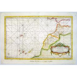
Carte Reduite Des Costes Occidentales D'Afrique Premiere Feuille contenant Les Costes de Barbarie depuis le Detroit de Gibraltar jusqu'au Cap Bojador Et Les Canaries . . . MDCCLIII
A well engraved and highly detailed of the Canary Islands, Madeira, from the Straits of Gibraltar to Cap Bojador, and the coast of Morocco. The chart shows soundings, an...
Place & Date: Paris, 1753
Selling price: $500
Sold in 2015
Carte des Isles du Cap Verd.
Featuring the Portugese Cape Verde Islands that are about 500 miles off the most western part of Africa in the Atlantic Ocean. Included are the islands of Bonavista, Sal,...
Place & Date: Paris, 1757
Selling price: $40
Sold in 2016
Carte des Isles Canaries dressee sur les Journaux des navigateurs. . .
Uncommon edition of this fine map of the Canaries.In lower right engraved "3."From Atlas Portatif pour servir a l'intelligence de l'Histoire Philosophique et Po...
Place & Date: Amsterdam, 1773
Selling price: $150
Sold in 2012
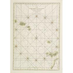
Carte des Isles Açores et des Isles Canaries, Dressée pour le Neptune Oriental
French of Canaries Islands and the Azores.Latitude and longitude scales, compass rose and system of rhumb lines, soundings near coast and in bay areas.D' Après de Manne...
Place & Date: Paris, Brest, chez Demonville, 1775
Selling price: $250
Sold in 2012
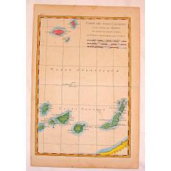
Carte des Isles Canaries.
Fine copper engraved map of The Canary Islands including Madiera & Porto Santo Islands. BONNE, RIGOBERT (1729-1795). Bonne was “Royal Hydrographer” and his princ...
Place & Date: Paris, 1780
Selling price: $15
Sold in 2015
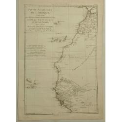
Partie Occidentale de L'Afrique. . .
A map of the north-western coast of Africa including the Canary Islands, by Bonne and Desmarest, published in the 1787 “Atlas Encyclopedique.”Rigobert Bonne (1727–1...
Place & Date: Paris, 1788
Selling price: $24
Sold in 2019
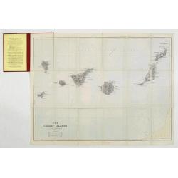
Map of the Canary Islands.
Charming folding map of Canary Islands, still in it's original publisher's yellow advertisements at endpapers, folding into original red covers, yellow label. Published b...
Place & Date: London, ca. 1894
Selling price: $150
Sold
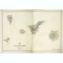
Gran Canaria to Hierro.
A very large double sheet sea chart of Gran Canaria to Hierro in the Canary Islands, originally surveyed by Capt. A.T.E. Vidal and Lieut. W. Arlett, R.N. between 1834-183...
Place & Date: London, 1942
Selling price: $57
Sold in 2023
Partie de L' Afrique en deca de l' Equateur.
Louis Brion de la Tour (1756-1823), ' Atlas Géneral, Civil et Ecclésiastique', 1766, ' Atlas Général', 1790-98. Louis Charles Desnos (fl.1750-70), Le Rouge's 'Atlas N...
Place & Date: Paris, 1766.
Selling price: $150
Sold
Carte des Isles Canaries, avec l'Isle de Madere et celle de Porto Santo
Rigobert Bonne (1727-1795), French cartographer. His maps are found in a.o. Atlas Moderne (1762), Raynal's Histoire Philos. du Commerce des Indes (1774) and Atlas Encyclo...
Place & Date: Paris, 1784.
Selling price: $100
Sold
![[Cultivation of grapes on Madeira].](/uploads/cache/14186-250x250.jpg)


![[Dutch fleet attacking Spanish fortess of Gratiosa on Gran Canaria].](/uploads/cache/39914-250x250.jpg)
![Canary, Azores+Cape Verde Islands. -ARCHIPELAGUS ATLANTICUS, CUM SUIS INSULIS CANARIIS, HESPERIDIBUS [CAPE VERDE] ET AZORIBUS.](/uploads/cache/85216-250x250.jpg)
