Browse Listings in Africa
Carte des Côtes de Barbarie ou les Royaumes de Maroc.. Circonvoisins...
Attractive map of North Africa, ornated with a decorative title cartouche. Boundaries outlined in hand color.From the "Atlas moderne ou collection de cartes sur tout...
Place & Date: Paris, Lattré, 1783
Selling price: $18
Sold in 2019
L'Afrique divisée en ses principaux Etats. . .
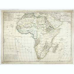
Attractive map of Africa, ornated with a decorative title cartouche showing luxuriant nature and native animals. Boundaries outlined in hand color.Prepared by Le Sieur Ja...
Place & Date: Paris, ca 1783
Selling price: $55
Sold in 2020
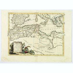
Le Coste di Barbaria..
An engraved map of the Barbary Coast embellished with an colored pictorial title cartouche
Place & Date: Venice, 1784
Selling price: $100
Sold in 2017
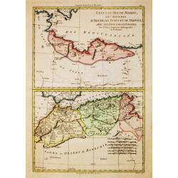
Etats du Roi de Maroc, Les Royaumes d' Alger, de Tunis et de Tripoli, avec les Pays circumvoisins.
Rigobert Bonne (1727-1795), French cartographer. His maps are found in a.o. Atlas Moderne (1762), Raynal's Histoire Philos. du Commerce des Indes (1774) and Atlas Encyclo...
Place & Date: Paris, 1784
Selling price: $50
Sold in 2016
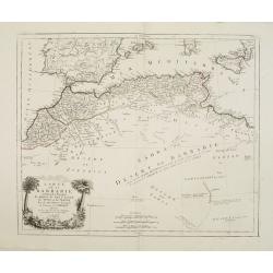
Carte de la Barbarie, contenant les Royaumes de Maroc, de Fez, d'Alger, de Tunis et de Tripoli..
Finely and crisply engraved map of North Africa from Morocco to Libya. At bottom left an decorative cartouche with trees, a lion and female figure.After the maps by d'Anv...
Place & Date: Venice, 1776 - 1784
Selling price: $250
Sold in 2014
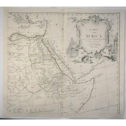
[2 sheets] Afrique publiée sous les auspices de Monseigneur le Duc d'Orléans Prémier Prince du Sang..
A large, decorative map of Africa, can be joined to make a wall map. After d'Anville's map, with geographic notes.An ornamental title cartouche features allegorical figur...
Place & Date: Venice, 1776 - 1784
Selling price: $1500
Sold in 2008
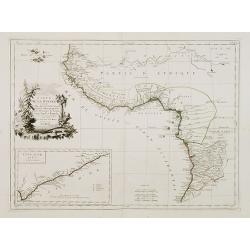
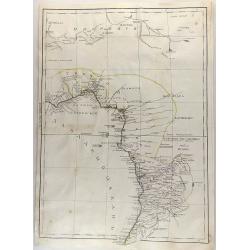
Carte de la Guinée contenant les Isles du Cap Verd, le Senegal, la Côte de Guinée proprement dite, les Royaumes de Loango, Congo..
Detailed map of Southwest African coast, from Guinea to Congo.Santini gives credit to R.Bonne in the cartouche. With inset map of the "Gold Coast" after d'Anvil...
Place & Date: Venice, 1776 - 1784
Selling price: $190
Sold in 2018
L\'Afrique divisée en ses principaux Etats assujettie..
Excellent copper engraved map of the continent showing the extent of knowledge in the mid 18th century.While mostly accurate, it does have remnants of fantasy such as the...
Place & Date: Venice, 1776 - 1784
Selling price: $152
Sold in 2013
Habits of the Hottentot Men & Women. / Perspective view of the Cape of Good Hope.
Two fine views on one sheet. On top the view shows a native couple with their traditional clothing. The bottom view features the Cape of Good Hope, several houses and sai...
Place & Date: London, 1784
Selling price: $121
Sold in 2016
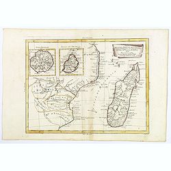
Parte della Costa a Orientale dell'Africa con I'Isola di Madagascar e le Carte particolari dell'Isole di Francia e di Borbon.
An uncommon map of Madagascar with inset maps of the islands of Bourbon and Francia. Mauritius. Embellished with a nice 'scroll' title-cartouche.
Place & Date: Venice, 1784
Selling price: $95
Sold in 2018
Le Coste di Barbaria. . .
An delightfully engraved map of the North African Barbary Coast, embellished with an colored pictorial title cartouche, published in Venice by Antonio Zatta towards the e...
Place & Date: Venice, 1784
Selling price: $45
Sold in 2019
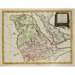
La Nubia et Abissinia.
An antique map of East Africa: La Nubia et Abissinia by Antonio Zatta, (fl. 1757-1797). Zatta was a Venetian publisher. Published in his atlas of 4 volumes 'Atlante novis...
Place & Date: Venice, 1784
Selling price: $160
Sold in 2019
Nubie et Abissinie.
Willem Albert Bachiene (1712-1783), Dutch geographer in Maastricht. Most important work ' Heilige Geographie', a work on the Holy Land. Mathijs Schalenkamp published in 1...
Place & Date: Amsterdam, 1785
Selling price: $230
Sold
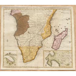
Carte de l'Afrique Méridionale, ou Pays entre la Ligne et le Cap de Bonne Espérance.
Africa south of the Equator, with insets of Table Mountain, Table Bay and the Cape of Good Hope (based on Valentyn). Originally the plate of De L'Isle of 1708, this image...
Place & Date: Amsterdam, ca. 1785
Selling price: $450
Sold in 2008
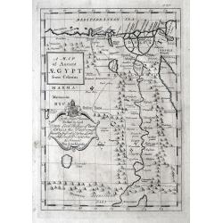
A Map of Ancient AEGYPT from Celarius.
A Map of Ancient Egypt from Celarius, by Thomas Stackhouse, from "Universal Atlas".A map of ancient Egypt showing the cities, pyramids and topography. As state...
Place & Date: London, 1785
Selling price: $60
Sold in 2012
Carte L'AFRIQUE pour La Concorde de la Geographie des Differens Ages.
A beautiful small map of Africa By Jean Lattre. Published in Noel-Antoine Pluche's "Concorde de la Geographie des Differens Ages".
Place & Date: Paris 1785
Selling price: $70
Sold in 2015
Byzonder Ontwerp van zommige der Voornaamste Africaansche Eilanden zo in de Middellandsche als Atlantische en Ethiopische Zeeën
Uncommon map showing islands in the Midstream and Atlantic Ocean, from J. van Jagen and published in, "Atlas, tot opheldering der hedendaagsche historie, ... door W....
Place & Date: Amsterdam, Matthijs Schalekamp, 1785
Selling price: $250
Sold in 2022
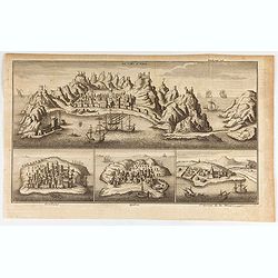
La Ville d'Aden. Mombaze. Quiloa. St. George de la Mine.
Eye-bird view of Aden city in Yemen, with Mombaze, Quiloa and St Georges Mine. Joseph-François Lafitau, born and died in Bordeaux, France, is a Jesuit missionary in New...
Place & Date: Paris, 1785
Selling price: $95
Sold in 2020
AFRICA, WITH ALL ITS STATES, KINGDOMS, REPUBLICS, REGIONS, ISLANDS &c. IMPROVED and ENLARGED from D\'ANVILLE\'s MAP: to which have been Added A PARTICULAR CHART OF THE GOLD COAST, wherein are D
A fascinating, late 18th century wall map of Africa based on the large format map by Jean Baptiste d’Anville, one of France's greatest cartographers. D'Anville was the ...
Place & Date: London, 1787
Selling price: $650
Sold in 2013
A New and Accurate Map of Africa Drawn from the best Authorities.
This fine copper engraved map of the African continent reflects very little European penetration into the interior, which is marked Unknown Country. The Nile is still sho...
Place & Date: London, 1787
Selling price: $91
Sold in 2015
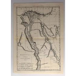
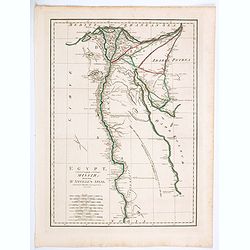
Aegyptus.
An attractive 18th century map of Egypt, published by Rigobert Bonne, the Royal Hydrographer to the King of France. It features the Nile River from the mouth to the Tropi...
Place & Date: Paris, 1787
Selling price: $27
Sold in 2017
Lacs, Fleuves, Rivieres et Principales Montagnes de L'Afrique.
An interesting map of the lakes, rivers and mountains of Africa. The history of the region is featured to the sides explained in French text. Published by Mondhare et Jea...
Place & Date: Paris, 1787
Selling price: $40
Sold in 2020
Karte von Africa.
A large copper-engraved wall map of Africa by H. Benedicti after R. de Vaugondy's map of Africa, published by F. A. Schraembl in 1787. This is only the top right sheet of...
Place & Date: Paris, 1787
Selling price: $60
Sold in 2020
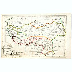
Negroland and Guinea. 1787
Negroland, or Nigritia, is an archaic and outdated term in European mapping, describing the inland and poorly explored region in West Africa as an area populated with neg...
Place & Date: London, 1787
Selling price: $60
Sold in 2020
Carte géographique du Cap de Bonne Esperance contenant les noms et positions . . .
Folding map of Cape of Good Hope, from " Voyage au Cap de Bonne-Esperance, et autour du Monde avec le Capitaine Cook, et principalement dans les pays des Hottentots ...
Place & Date: Paris, 1787
Selling price: $120
Sold in 2022
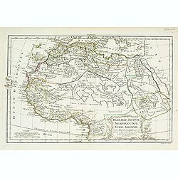
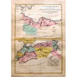
Etats du Roi de Maroc & Sahra ou Desert de Barbarie
Two maps on one page depicting North Africa and featuring Marocco, Algeria and Lybia as well as the Sahara Desert. It is by Rigobert Bonne from "Atlas Encyclopedique...
Place & Date: Paris, 1788
Selling price: $17
Sold in 2016
L'Africa secondo Le ultime osserviazioni divisa né suoi stati principali.
First edition on laid paper. Cassini’s splendid map depicts Africa at the end of the eighteenth century.More about Giovanni Maria Cassini [+]
Place & Date: Rome, 1788
Selling price: $500
Sold in 2019
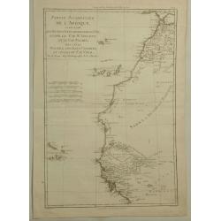
Partie Occidentale de L'Afrique. . .
A map of the north-western coast of Africa including the Canary Islands, by Bonne and Desmarest, published in the 1787 “Atlas Encyclopedique.”Rigobert Bonne (1727–1...
Place & Date: Paris, 1788
Selling price: $24
Sold in 2019
Egypt, Called in the Language of the Country Missir drawn from D'Anville's Atlas.
A map of Egypt after the French cartographer d'Anville, showing the Nile from source, south to Aswan. Quite detailed either side of the Nile and up in the Nile Delta to t...
Place & Date: London, 1788
Selling price: $11
Sold in 2020
L'Africa divisa nelle sue principali parti.
A rare Italian map, published by Carli Pazzini in Siena. It shows the African continent with place names along the coasts, but large blank interior parts. Curious large l...
Place & Date: Siena, 1788
Selling price: $210
Sold in 2020
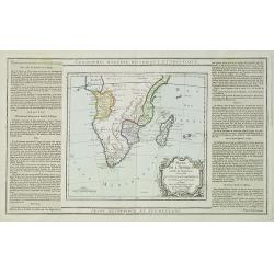
Partie de L'Afrique..
Map showing Southern part of Africa. Left and right box with geographical information for each part country on the continent.Prepared by Louis Brion de la Tour and publis...
Place & Date: Paris 1790
Selling price: $120
Sold in 2009
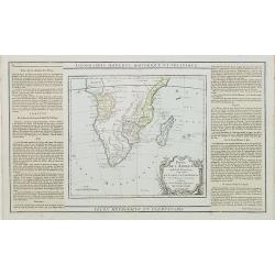
Partie de L'Afrique.. Le Congo, La Cafrerie &c.
Map showing the southern part of Africa with decorative rococo-style cartouche.Left and right box with geographical information for each part of the area. Printed on 2 pa...
Place & Date: Paris, 1790
Selling price: $200
Sold in 2023
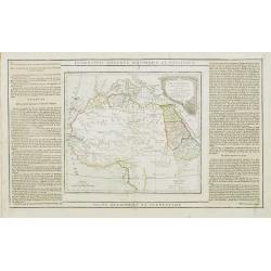
Partie de L'Afrique.. L'Egypte, La Barbarie, La Nigritie &c.
Map showing the northern half of Africa with decorative rococo-style cartouche.Flanked by two columns of French text containing geographical information about the area. M...
Place & Date: Paris, 1790
Selling price: $60
Sold
Africa.
An uncommon map of the African continent, engraved by Marco di Pietro, probably for Luigi Rossi's 'Nuovo Atlante Universe'.
Place & Date: Milan, c. 1790
Selling price: $140
Sold
L' Afrique Dressée pour l' étude de la Géographie..
Highly decorative map of Africa embellished with a landscape style title cartouche and several sailing ships.The interior of the continent contains little geographical in...
Place & Date: Paris, 1790
Selling price: $180
Sold
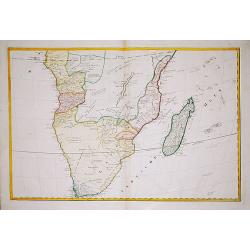
(Map of South Africa)
A large map of South Africa, engraved by Hieronymus Benedicti. Not in Norwich.
Place & Date: Vienna, c. 1790
Selling price: $250
Sold in 2021
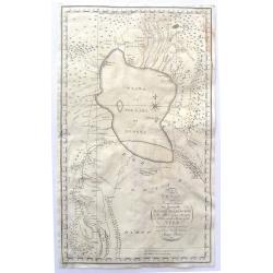
To My Worthy and Learned Friend the Honourable Daines Barrington This Plan of two Attempts to Arrive at the Source of the Nile is dedicated by his most Obliged and faithful Humble Servant James Bruce.
This is a significant, engraved, 1790 map of Ethiopia (Abyssinia) and the source of the Blue Nile by the Scottish adventurer James Bruce. Centered on Lake Tana (Tzana), t...
Place & Date: London, 1790
Selling price: $150
Sold in 2017
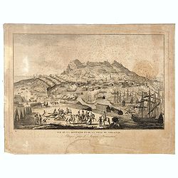
Vue de la Montagne et de la Ville de Gibraltar, attaquée par l'armée Française.
Showing the siege of Gibraltar by the French. The engraving has a numbered and lettered key but no explanation on the engraving itself. With N° 57 in upper right corner....
Place & Date: Paris, ca. 1790
Selling price: $115
Sold in 2016
Untitled Map of West Africa (Cyrillic)
A rare cyrillic edition of the Bonne & Lattré copper engraved map of West Africa. It covers from the Gold Coast (modern day Ghana), south around the Bight of Benin t...
Place & Date: St Petersburg, 1790
Selling price: $46
Sold in 2019
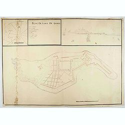
Plan de l'Isle de Goree.
A unusual map of the island of Goree. Includes an inset map of Senegalese coast, and a view of the port on the opposite upper corner. The title includes also a lettered k...
Place & Date: ca. 1790
Selling price: $500
Sold in 2020
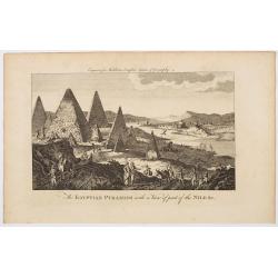
The Egyptian Pyramids with a View of part of the Nile &c.
A rather fanciful and possibly imagined copperplate view of the famous Egyptian Pyramids, (which all come to very pointy tips!) and the covering part of the mighty river ...
Place & Date: London, ca 1790
Selling price: $3
Sold in 2023
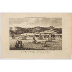
A View of Tunis on the Coast of Barbary.
An very attractive copperplate view of the north African city of Tunis in a region then known as the Barbary Coast, produced for Middleton's Complete System of Geography....
Place & Date: London, ca 1790
Selling price: $60
Sold in 2023
Tableau général de L'Afrique..
Map showing the tracks of Cook (1771-73, 1771 and Clarcke (1779). Surrounded by geographical information for each part of the continent along with useful statistical info...
Place & Date: Paris 1792
Selling price: $275
Sold
L' Afrique Divisee en ses Empires, Royaumes et Etats
This handsome, large map of Africa was copied from Jaillot's map of more than a century earlier (1674). The cartography is typical for the seventeenth century with the Ni...
Place & Date: Amsterdam, 1792
Selling price: $375
Sold
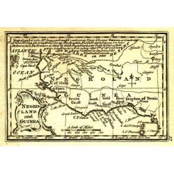
Negroland and Guinea.
Uncommon miniature map from Gibson's "Atlas Minimus, or a New Set of Pocket Maps of the several Empires, Kingdoms and States of the known World".
Place & Date: London, 1792
Selling price: $35
Sold
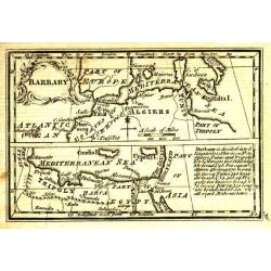
Barbary.
Uncommon miniature map from Gibson's "Atlas Minimus, or a New Set of Pocket Maps of the several Empires, Kingdoms and States of the known World".
Place & Date: London, 1792
Selling price: $30
Sold in 2011
Egypt, Nubia and Abissinia.
Uncommon miniature map from Gibson's "Atlas Minimus, or a New Set of Pocket Maps of the several Empires, Kingdoms and States of the known World".
Place & Date: London, 1792
Selling price: $40
Sold
Africa.
Uncommon miniature map from Gibson's "Atlas Minimus, or a New Set of Pocket Maps of the several Empires, Kingdoms and States of the known World".
Place & Date: London, 1792
Selling price: $80
Sold in 2011
[Lot of 7 maps of the lands bordering the Red Sea]
Jan Elwe’s re-issue of Guillaume de l’Isle’s 1707 map of the lands bordering the Red Sea, showing Arabia distinctively.Jan Berend Elwe. Amsterdam-based publisher. P...
Place & Date: Paris, 1792
Selling price: $200
Sold in 2022
[Lot of 2 maps] Afrique divisee en ses principeaux Empires et Royaumes.
This map of the African continent clearly shows the lack of knowledge of the interior of the continent in the 18th century. Only Morocco and Algeria, Egypt, Nubia and Aby...
Place & Date: 1793
Selling price: $220
Sold in 2022
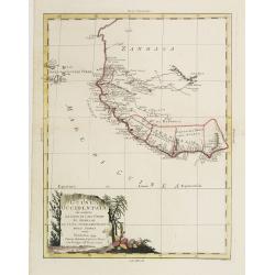
La Guinea Occidentalle..
An engraved chart of the coast from Sierra Leone to Cape delle Tre Punte.
Place & Date: Venise, 1794
Selling price: $140
Sold in 2010
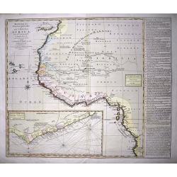
Bowles's new one-sheet map of the coast of Africa :from S.ta Cruz, lat. 30°N. to Angola, lat. 11°.S. with explanatory notes; and a correct chart of the Gold Coast.
Very interesting map of Western Africa, extending from the Canary Islands to Angola. Large scale with much information and interesting annotations. Lists Kingdoms and are...
Place & Date: London, c1794
Selling price: $120
Sold in 2014
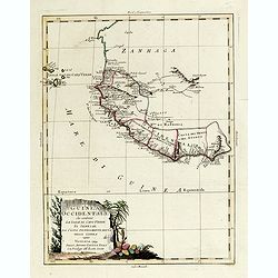
La Guinea Occidentale...
An engraved chart of the coast from Sierra Leone to Cape delle Tre Punte.
Place & Date: Venise, 1794
Selling price: $55
Sold in 2018
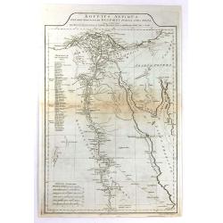
Aegyptus Antiqua Mandato Serenissimi Delphini Publici Juris Facta.
A large detailed map of Ancient Egypt, covering from the Nile Delta and Gaza, southward as far as Aswan. Features both ancient and contemporary place names for each desti...
Place & Date: London, 1794
Selling price: $30
Sold in 2016
A New and Accurate Map of Africa.
A fine map of the continent with the actual information available at the end of the 18th century. Shows only limited information in the interior but many towns, regions, ...
Place & Date: London, 1794
Selling price: $35
Sold in 2018
Partie de l'Afrique en deçà / au-delà de l'Equateur.
Louis Brion de la Tour (1756-1823), ' Atlas Géneral, Civil et Ecclésiastique', 1766, ' Atlas Général', 1790-98. Louis Charles Desnos (fl.1750-70), Le Rouge's 'Atlas N...
Place & Date: Paris, c. 1795
Selling price: $185
Sold in 2008
A New Map of Africa with the latest Discoveries.
A New Map of Africa with the latest Discoveries 1795 by Samuel John Neele. Published May 10th 1795 by Cadell & Davies of the Strand London.
Place & Date: London, 1795
Selling price: $70
Sold in 2012
Carte de la Partie Méridionale de l'Afrique, pour servir d'intelligence aux deux voyages de Le Vaillant.
This map depict François Le Vaillant's (1753-1824) two journeys into the interior of Africa, during the years 1783, 1784 and 1785. The route through Namaqualand and alon...
Place & Date: H. J. Jansen et Comp., Paris, 1795
Selling price: $550
Sold in 2013
Port Praija aan het Eiland St. Jago.
Map of Porto Praya at the southern part of St. Jago Island, one of the Cape Verde Islands.
Place & Date: The Hague, 1795
Selling price: $27
Sold in 2014
Barbarie, Egypte, Nigrite, Guinee, Nubie, Abissinie
Fine map of North Africa and Arabian Peninsula. Engraved by E. Dussy. Gilles Robert de Vaugondy (1688–1766), also known as Le Sieur or Monsieur Robert, and his son, Did...
Place & Date: Paris, 1795
Selling price: $89
Sold in 2016
Afrique divisee en ses principaux Empires et Royaumes.
An attractive map of the continent of Africa was published at the end of the eighteenth century in Paris and published by Robert de Vaugondy. This map was first published...
Place & Date: Paris, 1795
Selling price: $175
Sold in 2018
L\'Afrique.
General map of Africa.
Place & Date: Paris, 1796
Selling price: $60
Sold in 2012
Barbarie, Egypte, Nigritte, Guinée, Nubie, Abissinie.
Map of the northern part of Africa.
Place & Date: Paris, 1796
Selling price: $50
Sold in 2011
Le Coste Dell' Alta Guinea.
A rare and detailed outline map of the coast of West Africa.
Place & Date: Sienna, 1796
Selling price: $12
Sold in 2018
Le Coste Dell' Alta Guinea.
A rare and detailed outline map of the coast of West Africa beginning with the Gold Coast to the west and to Senegal to the north. Many slaves were exported from this reg...
Place & Date: Siena, 1796
Selling price: $100
Sold in 2019
A chart of the Inner passage between the coast of Africa..
Detailed chart of the inner passage between the coast of Africa and the isle of Madagascar. In upper left hand corner inset of Comoros Islands. Another inset with the bay...
Place & Date: London 1797
Selling price: $400
Sold
Charte von Africa.
An uncommon late eighteenth-century map of the continent of Africa, prepared by Güssefeld, based on earlier work done by Sayer and Rennel. Gussefeld worked for the Homan...
Place & Date: Nuremberg, 1797
Selling price: $50
Sold in 2018
Charte von Africa.
An uncommon late eighteenth-century map of the continent of Africa, prepared by Güssefeld, based on earlier work done by Sayer and Rennel. Gussefeld worked for the Homan...
Place & Date: Nuremberg, 1797
Selling price: $91
Sold in 2021
Africa Antiqua / Present Africa.
A fully colored pair of maps of the continent of Africa, both ancient and new, from An Universal Atlas Consisting of a Complete Set of Maps, peculiarly adapted to illustr...
Place & Date: London, 1797
Selling price: $65
Sold in 2020
Carte d'Afrique
Fine detailed map of Africa. Prepared by J.B.Poirson and Herison. Upper left hand corner 2 blocks listing the foreign English, Dutch, Spanish, Portuguese and Danish posse...
Place & Date: Paris, 1798
Selling price: $110
Sold in 2022
Carte Generale et Politique de L'Afrique.
A French republic map of Africa, from the Atlas National, published in Paris in the last year of the eighteenth century. The map highlights numerous mountain ranges, lake...
Place & Date: Paris, 1799
Selling price: $40
Sold in 2020
Carte du Cap de Bonne Esperance et de ses Environs.
A very nice map of the tip of South Africa, showing Cape of Good Hope, including an inset view of Cape Town and the Tafel Berg. Title cartouche on the lower left-hand cor...
Place & Date: France c.1800
Selling price: $190
Sold
Africa with all its States, Kingdoms, Republics, regions..
A large wall map of Africa. Impressive title cartouche upper right corner.Based on a map by D'Anville.Top left inset map of the Azoren Islands.
Place & Date: London 1800
Selling price: $700
Sold
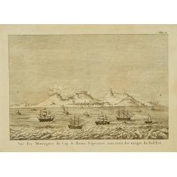
Vue des montagnes du Cap de Bonne-Espérance. . .
View of the Cape of Good Hope showing sailing ships foreground.
Place & Date: Paris, 1800
Selling price: $50
Sold
Barbarie, Egypte, Nigritie, Guinée, Nubie..
Detailed map depicting Africa from the Maghreb to actual Cameroon. Showing the Canaries, Cap-Verde. Depicting also a part of south Spain, Sicily, South Italy, South Greec...
Place & Date: Paris, 1800
Selling price: $80
Sold in 2010
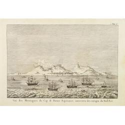
Vue des montagnes du Cap de Bonne-Espérance. . .
View of the Cape of Good Hope showing sailing ships foreground.
Place & Date: Paris, 1800
Selling price: $65
Sold
Auss Schiff und Anländung der Spanischen Völcker bey Ceuta in Africa. . .
Very rare and decorative but fanciful copper engraved view of the Siege of Ceuta by the Moroccan Sultan in 1418. The Sultan was defeated and the town stayed in Spanish / ...
Place & Date: Zittau, 1798-1800
Selling price: $500
Sold in 2020
Carte générale de la colonie du Cap de Bonne Espérance.. Par John Barrow.
A very nice and rare map of the tip of South Africa, showing Cape of Good Hope. From Voyage dans la partie méridionale de l'Afrique: fait dans les années 1797 et 1798. ...
Place & Date: France c.1801
Selling price: $310
Sold
L'Afrique divisée en ses principaux Etats et Royaumes.
Uncommon Italian map of Africa. Interestinngly the map has several pencil annotations in the map.
Place & Date: Venise, 1802
Selling price: $450
Sold in 2008
Lower Egypt and the Adjacent Deserts, with a part of Palestine; to which has been added the Nomenclature of the Roman age
A pleasing map featuring the site of Napoleon’s campaign in Egypt, Palestine, and Syria, (1798-1801). Detail is given to the network of roads, rivers, and canals criss-...
Place & Date: London, 1802
Selling price: $114
Sold in 2020

![[2 sheets] Afrique publiée sous les auspices de Monseigneur le Duc d'Orléans Prémier Prince du Sang..](/uploads/cache/24972-250x250.jpg)

















![[Lot of 7 maps of the lands bordering the Red Sea]](/uploads/cache/20680-250x250.jpg)
![[Lot of 2 maps] Afrique divisee en ses principeaux Empires et Royaumes.](/uploads/cache/18439-(2)-250x250.jpg)
