Browse Listings in Atlases
Pomponii Melae De Orbis Situ Libri tres…[with Oronce Fine double-cordiform worldmap in a first state].
Third edition with the commentary of Joachim Vadian with some contemporary notes in Latin, issued with the first edition of Oronce Fine full-sheet woodcut map of the worl...
Place & Date: Paris, (Chretien Wechel), 1530
ATLAS RUSSICUS mappa una generali et undeviginti specialibus vastissimum Imperium Russicum cum adiacentibus regionibus [repeated in French].
After an unnumbered general map of Russia there are 13 numbered maps that cover European Russia (scale 1, 1.527.000). The other (last) 6 maps cover Asian Russia (Siberia,...
Place & Date: St Peterburg, Akademie von Wissenschaften. 1745
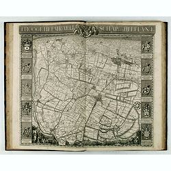
't Hooge Heemraedschap van Delfland met alle de Steden, Dorpen, Ambachten, Litmaten, Polders, (etc.).
The so-called Kruquius map is a wall-map of the Delfland water board district. The map consists of 25 engraved map sheets. Several maps flanked by fine large armorial car...
Place & Date: Delft, 1712-1750
CH'ONHA CHIDO [Atlas of all under Heaven]
The Ch’onha chido [Atlas of all under Heaven] is a late 18th century copy of the traditional Korean atlas produced in the early Choson dynasty (1392-1910). One of the m...
Place & Date: Korea, ca. 1790
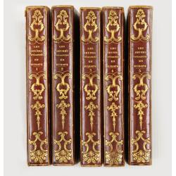
Les jeunes voyageurs en Europe, ou description raisonnée des divers pays compris dans cette partie du monde.
The second edition of this fine travel companion is illustrated with 16 very decorative maps, each map surrounded by local products and specialties of the region. Include...
Place & Date: Paris, Thiériot, 1827
![Pomponii Melae De Orbis Situ Libri tres…[with Oronce Fine double-cordiform worldmap in a first state].](/uploads/cache/49009-250x250.jpg)
![ATLAS RUSSICUS mappa una generali et undeviginti specialibus vastissimum Imperium Russicum cum adiacentibus regionibus [repeated in French].](/uploads/cache/27877-250x250.jpg)

![CH'ONHA CHIDO [Atlas of all under Heaven]](/uploads/cache/33625-250x250.jpg)
