Search Listings matching "figured-border" in World Maps
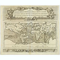
Tabula geographico-hydrographica motus Tom II p.132.
World map depicting ocean currents, volcanoes and deep-sea chasms. The continents are void of political detail and only major lakes, rivers and volcanoes are shown. There...
- $2000 / ≈ €1871
Place & Date: Nuremberg, 1696
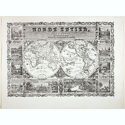
Monde Entier, Par J. Henry Dressine et Ecrit Chez L' Auteur Par A. Clement.
Decorative uncommon 19th century double hemisphere map of the word with ten vignettes surrounding the map. The vignettes show a naval battle, and a land battle with a com...
- $300 / ≈ €281
Place & Date: Paris, 1834

