Search Listings matching "figured-border" in Polar maps
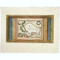
La Terre du Nord.
Map of the Arctic Circle, set within a series of decorative borders, printed from a different copper plate. All counties that lie within or near to the North Pole are sho...
- $750 / ≈ €702
Place & Date: Amsterdam, 1713
