Search Listings matching "langenes" in Asia
Bengala.
A lovely miniature map of a section of the Bay of Begal, published by Petrus Bertius, in Amsterdam at the beginning of the seventeenth century. There is a decorative stra...
Place & Date: Amsterdam, 1606
India Orientalis.
This lovely miniature map shows the East Indies, stretching from Persia to China and Japan, down to Java, and part of Papua new Guinea. Published by Petrus Bertius, in Am...
Place & Date: Amsterdam, 1606
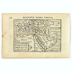
Turcicum Imperium.
A really attractive miniature map of The Turkish Empire, as it was at the beginning of the seventeenth century. Published by Petrus Bertius in Amsterdam. The map stretche...
Place & Date: Amsterdam, 1606
Asia.
A miniature map of the continent of Asia, published by Petrus Bertius in Amsterdam, at the beginning of the seventeenth century. An attractive small map featuring hatchin...
- $250 / ≈ €220
Place & Date: Amsterdam, 1606
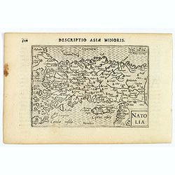
Natolia.
A miniature map of Turkish Natolia, published by Petrus Bertius in Amsterdam, at the beginning of the seventeenth century. This attractive small map features hatching in ...
- $150 / ≈ €132
Place & Date: Amsterdam, 1606
Persia.
A decorative miniature map of Persia, stretching from the Tigris River in the west to the Indus River in the east. As far north as the Caspian Sea. Published by Petrus B...
- $175 / ≈ €154
Place & Date: Amsterdam, 1606
Malacca.
A nice miniature map of Malacca, A Malaysian state on the southern Malay peninsular, next to the Strait of Malacca. North is orientated to the left Published by Petrus B...
- $300 / ≈ €264
Place & Date: Amsterdam, 1606
Iapon.
An attractive miniature map of Japan, published by Petrus Bertius, in Amsterdam at the beginning of the seventeenth century.The quirky map is shows the country in a disto...
- $250 / ≈ €220
Place & Date: Amsterdam, 1606
Descriptio Cambaiae.
A very decorative little map of northern India with Gujarat and the Indus river, bordering Pakistan. Naming major towns represented by symbols, major rivers, mountains, a...
- $100 / ≈ €88
Place & Date: Amsterdam, 1606
[Borneo Insula.]
Important map of Bornea based on a map by Olivier van Noort (1558-1627), who on his turn mostly adapted information from earlier maps such as those by Langenes and van Li...
- $300 / ≈ €264
Place & Date: Frankfurt, M.Merian, 1633


![[Borneo Insula.]](/uploads/cache/40082-250x250.jpg)