Search Listings matching "figured-border" in Asia
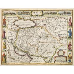
The Kingdom of Persia with the cheef Citties and Habites described by John Speede.
One of the most decorative "carte à figures"- maps of the old Kingdom of Persia, including modern day Iran and Iraq, as well as portions of the Turkish Empire,...
- $2000 / ≈ €1871
Place & Date: London, G.Humble, 1626
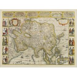
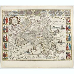
Asia recens summa cura delineata.
This is the rare early issue with decorative paneled borders. In upper border views and plans of Famagusta, Rhodos, Damascus, Jerusalem, Aden and Ormus. Originally engrav...
Place & Date: Amsterdam, 1632
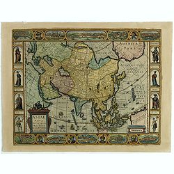
Asiae Nova Descriptio.
Final State of Pieter Van Den Keere's Rare Map of Asia--The first map of Asia to include decorative panels. Published by H.J.Visscher and engraved by Abraham Goos, embell...
- $3000 / ≈ €2807
Place & Date: Amsterdam, 1636
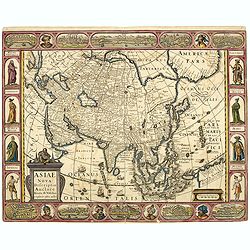
Asiae Nova Descriptio.
Final State of Pieter Van Den Keere's Rare Map of Asia -- The first map of Asia to include decorative panels. Published by N.J.Visscher and engraved by Abraham Goos, embe...
Place & Date: Amsterdam, 1636
Asia noviter delineata. . .
From 1633 the members of the Blaeu family were official cartographers to the United East India Company and, as such, had access to the most up-to-date cartographic inform...
Place & Date: Amsterdam, 1644
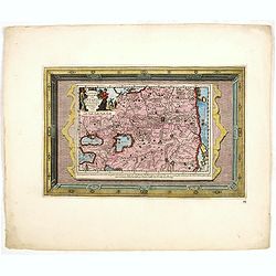
Historic Map - Naaukeurige Kaart Van Tartaryen, Soo als dat door W De Rubruquis doorreyst.
This attractive map of Tartary shows the ancient Silk Road region. The map shows the track of William of Rubruck (Willem van Rubroeck or in ; Latin: Gulielmus de Rubruqui...
Place & Date: Amsterdam, 1713
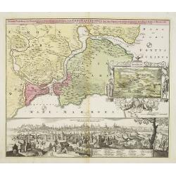
Accurate Vorstellung der Orientalisch Kayserlichen Haupt- und Residenz-Stadt Constantinopel samt ihrer Gegend und Zweyen . . .
The upper part shows Constantinople with adjoining regions. The view shows the former Christian church Hagia-Sophia, the Blue Mosque, three Egyptian obelisks, Sultan Sule...
- $1250 / ≈ €1170
Place & Date: Nuremberg 1720
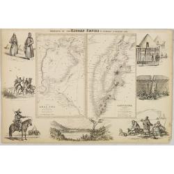
Portions of the Russian Empire in eastern & western Asia.
Two maps on one sheet. Components: The Aral Sea according to Khanikoff -- Kamchatka according to A. Erman. Relief is shown by hachures and spot heights. No. 8 from Fullar...
- $200 / ≈ €187
Place & Date: London, 1860
