Search Listings matching "lafreri"
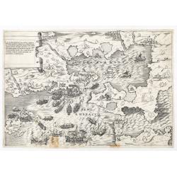
La dimostratione del luogo dove al presente sitrova l'armat di Barbarossa, et de Christiani detto il golfo dell 'Artha anti ch amente il sino ambracio…
The title cartouche at the top left reads: "La Dimostratione Del Luogo Dove Al Presente Sitrova L'Armat Di Barbarossa, et De Christiani Detto Il Golfo Dell' Artha An...
Place & Date: Rome, c. 1540
Opus Praxitelis, Opus Fidiae.
Opus Praxitelis, Opus Fidiae [Work of Praxiteles, Work of Fidias]. With the Lafreri's imprint and date. Published in the "Speculum Romanae Magnificentiae" (The ...
Place & Date: Rome, Antonio Lafreri, 1546
Equitum in Quirinali, aversa parte, marmorei colossi Romae; absolutissima Praxitelis et Fidiae manu.
Back view of the Dioscuri (or horse tamers, or Alexander and Bucephalus), formerly attributed to Pheidias and Praxiteles, with two figures nearby, one seated on a stone, ...
Place & Date: Rome, Antonio Lafreri, 1550
Panthei Fidelissime Dimensi Exterior et Interior…
The print features the Pantheon in Rome, broken away to show the interior. Complete title : " Panthei Fidelissime Dimensi Exterior et Interior pars ex antiquo romano...
Place & Date: Rome, Antonio Lafreri, 1553
[Toscana / Tuscany] En, candidi lectores, elegantioris Italiae partis, Tusciae scilicet, topographiam. aenis nris formis excussam in hac Tabella vobis denuo damus. . .
A rare map of Tuscany, including the islands of Elba, Giglio, Giannutri and part of Corsica, and covering the whole of Tuscany, part of Liguria, Lombardy, Emilia, Umbria,...
- $5000 / ≈ €4633
Place & Date: Rome, ca 1557
Amphitheatri Veronen[sis] diligens et accurata delineatio…
The print features the Amphitheater of Verona, it comes from "Speculum Romanae Magnificentiae" (The Mirror of Roman Magnificence). Example of the first state of...
- $900 / ≈ €834
Place & Date: Rome, Antonio Lafreri, ca. 1560
[Two plates on one sheet] Ordinanza Turchesa alla presa di Zigeth in Ongaria l’anno 1566 / Ordinanza Turchesca sotto Viena, contra lo Invictißimo Imperatore Carlo quinto l'anno 1550.
Ordinanza Turchesca sotto Viena, contra lo Invictißimo Imperatore Carlo quinto l'anno 1550". C. 1560. This extremely rare plate depicts the order of battle and for...
Place & Date: Venice, 1550/ 1566
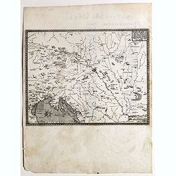
Descritione dell Austria, et Ongheria, Transsilvania. . .
Rare war map showing Austria, Hungaria, Croatia, Slovakia, Venice, etc., being the battlefield of Christian Imperial vs. Ottoman forces from Vienna / Venice to Budapest/B...
- $1250 / ≈ €1158
Place & Date: Venice, Zaltieri, (1567) 1568
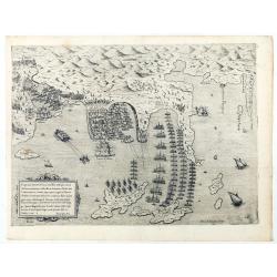
Disegno dove al presente si ritrova l'armata della santa legha contro la turchesca, nel promontorio della Morea dirincontro a Modon, dove l'armata nemica si è retirata… VI.Ottobre.1572.
Disegno dove al presente si ritrova l'armata della santa legha contro la Turchesca, nel promontorio della Morea dirincontro a Modon dove l'armata nemica si e retirata, lu...
Place & Date: Rome, 1572
Veterum Monumentorum Studiose Lector.../...Ant Lafreri aenea tabula nunc profert ex antiquo simulachro quod in vaticano adhuc conspicitur exacte effigiata.
The print feaures the Personification of the Nile, reclining, with an Egyptian sphinx and a cornucopia, after a Roman group in the 16th century installed as a fountain in...
Place & Date: Rome, Antonio Lafreri, ca. 1573
Castello Sancto Angelo di Roma.
The print features the Castello Sant' Angelo in Rome, bound in an album, perhaps from the "Speculum Romanae Magnificentiae." Copper engraving and published by A...
Place & Date: Rome, Antonio Lafreri, ca. 1573
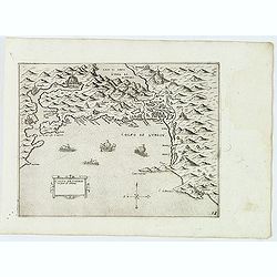
Golfo de Lodrin con parte di Albania.
Rare map of the northern coast of Albania, Serbia and Montenegro, extending from Malonta and Castel Novo and Bocca del Colfo di Cattaro to Durrës. Venetian war ships in ...
- $1500 / ≈ €1390
Place & Date: Venice, D.Bertelli, ca.1574
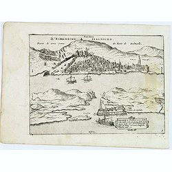
Sebenico antiquam.e Sico detto Citta nobile nella prouincia della Dalmacia. . .
Uncommon map of the coast of Croatia with the bay and town of Šibenik (Sebenico) with Venetian war ships in the foreground. From Giovanni Francesco Camocio's rare "...
- $1000 / ≈ €927
Place & Date: Venice, D.Bertelli, ca.1574
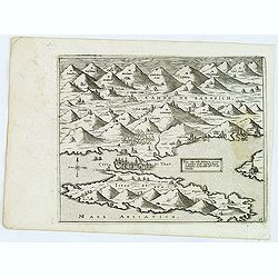
Trau citta nella Dalmacia vicino al Spaleto. . .
Uncommon map of the Dalmatian coast with the town of Trau (Trogir) in Croatia, from Giovanni Francesco Camocio's rare " Isole Famose porti, fortezze, e terre maritim...
- $1000 / ≈ €927
Place & Date: Venice, D.Bertelli, ca.1574
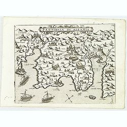
Provincia Di Albania.
Uncommon map of Albania, from Giovanni Francesco Camocio's rare " Isole Famose porti, fortezze, e terre maritime . . ." The second state, includes the plate n...
- $1200 / ≈ €1112
Place & Date: Venice, D.Bertelli, ca.1574
Naumaohiae [sic] id est navalis pugnae ex vetusteis lapidum et nummorum monumenteis graphica deformatio.
Naval engagement set inside an arena, spectators in the stands attending the event; reclining river god and nymphs in the lower part. From "Speculum Romanae Magnific...
Place & Date: Rome, ca. 1575
Africa ex magnae Orbis Terrae Descriptione.
Very rare separately published "Lafreri" map of Africa. The title in typical Italian scrollwork surmounted by two Cupids in the lower Atlantic. A dedication to ...
- $6000 / ≈ €5559
Place & Date: Venice, ca. 1590
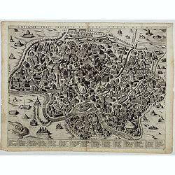
Antiquae urbis perfecta et Nova delineatio. [ Ancient Rome)
First state before imprint of Jacobus de Rubeis. A rare view of Ancient Rome from the Lafreri-School in the style of Ambrogio Brambilla's view of about 1575. A unique opp...
Place & Date: Rome, ca. 1600
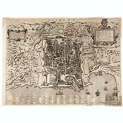
Palermo.
Rare bird's-eye view of Palermo, the plan showing the city and harbor within the city walls, with the surrounding countryside, title and dedicatory verse set in elaborate...
- $3000 / ≈ €2780
Place & Date: Seina, ca. 1600
Il vero ritratto di Nettvno al presente oaupato da gl'imperiali.
Rare and early town-plan of Nettuno, in the province of Rome, which is nowadays a touristic harbor.Issued by Joannes Orlandi who acquired many Lafreri plates, which he re...
Place & Date: Rome, 1557 / 1602
Capitolii sciographia ex ipso exemplari Michaelis Angeli Bonaroti a Stephano Duperac Parisiensi accurate delineata…
View of the Roman Capitol as re-designed by Michelangelo, from "Speculum Romanae Magnificentiae", first published in 1569, this example edited by Giovanni Orlan...
Place & Date: Rome, Orlandi, 1602
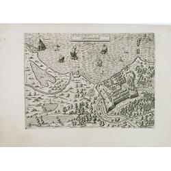
Fortezza di Gerbi.
Rare and early plan the fortress in present-day Jarbah Hawmat-as on the Tunisian island of Djerba, the largest African island in the Mediterranean.The fortress is still o...
- $2200 / ≈ €2038
Place & Date: Rome, 1586 / 1602
La marca d'Ancona. Marchia Anconitana Picaenum olim dicta. . . Romae apud Joannem Orlandini formis Rome 1604.
A re-issue of the plate by Vicentium Luchinù of 1564 now with the address of Orlandini and the dates 1602 / 1604.Collector's item. A unique opportunity to acquire a fine...
Place & Date: Rome, 1604
[Map of the coast of Crete to the east of Chania showing the landing of the Turks and the Venetian defence in June 1645].
Map engraved by Marco Boschini (1613-1678). With a lettered key for the Turkish army « A-L » and a numbered key for the city of Chania and its army « 1-20 ».Fifth ...
Place & Date: Venice, c. 1645
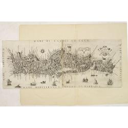
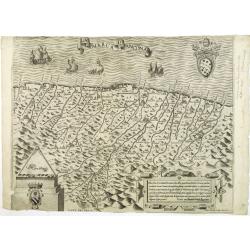
Il Regno Di Candia.
This rare map is based on the important map of Crete by Basilicata. The maps by Marco Boschini reached a wider audience than the few individuals for whom the Basilicata m...
Place & Date: Venice, 1660


![[Toscana / Tuscany] En, candidi lectores, elegantioris Italiae partis, Tusciae scilicet, topographiam. aenis nris formis excussam in hac Tabella vobis denuo damus. . .](/uploads/cache/47717-250x250.jpg)
![Amphitheatri Veronen[sis] diligens et accurata delineatio…](/uploads/cache/49136-250x250.jpg)
![[Two plates on one sheet] Ordinanza Turchesa alla presa di Zigeth in Ongaria l’anno 1566 / Ordinanza Turchesca sotto Viena, contra lo Invictißimo Imperatore Carlo quinto l'anno 1550.](/uploads/cache/49073-250x250.jpg)


![Naumaohiae [sic] id est navalis pugnae ex vetusteis lapidum et nummorum monumenteis graphica deformatio.](/uploads/cache/49142-250x250.jpg)



![[Map of the coast of Crete to the east of Chania showing the landing of the Turks and the Venetian defence in June 1645].](/uploads/cache/49076-250x250.jpg)
