Browse Listings
Partie de la nouvelle grande carte des Indes Orientales. . .
Sheet 1 of Joachim Ottens' Southeast Asia map in four sheets, showing the Bay of Bengal and extending from the Pakistani border across India to the Indo-Chinese peninsula...
- $800 / ≈ €749
Place & Date: Amsterdam, 1792
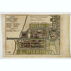
Grundriss von der Stadt und dem Schlosse Batavia.
Uncommon plan of the town and fortress of Batavia. The plan is based on the earlier, much larger map of Batavia published by Clement de Jonghe in 1650. From 'Algemeine We...
- $175 / ≈ €164
Place & Date: Halle, 1763-1792
East India Islands
Good detail on Philippines. Uncommon miniature map from Gibson's "Atlas Minimus, or a New Set of Pocket Maps of the several Empires, Kingdoms and States of the known...
- $150 / ≈ €140
Place & Date: London, 1792
Sterre kaert of hemels pleyn, waer door men kan wete hoe laet dat het is over de gehele aertkloot, op alle meridiane en polus hoogte . . .
A most attractive Mercator style oblong projection of the entire night sky showing all the heavenly bodies of the northern and southern skies, and with panels of astrolog...
Place & Date: Amsterdam, 1792
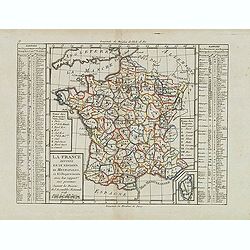
La France Divisée en IX Régions, 10 Métropoles, et 85 Départements ..
Scarce map of France prepared after J.B.Nolin and published by Mondhare for his Atlas Général a l'usage des colleges et maisons d'education.. Lower right inset map of C...
- $60 / ≈ €56
Place & Date: Paris, 1793
Les environs de Mons, Beaumont, Chimay, Valenciennes, Condé, &c.
Detailed map of Northern France, centered on Valenciennes and Mons. The map was prepared by Jean Baptiste de Bouge (1757-1833), who prepared one of the first very detaile...
- $50 / ≈ €47
Place & Date: Bruxelles 1789 - 1793
Nouveau plan routier de la ville de Paris.
Detailed plan of Paris. There is a street index down both margins and a list of theatres and public libraries. The plan now shows Place de la Révolution, Place des Pique...
- $1000 / ≈ €936
Place & Date: Paris, 1793
Bison Iubatus.
Etching of a bison by Leendert Brasser (1727 - 1793) after a painting of the Dutch artist Gerrit van den Heuvel.An early portrait of a bison, etched by Leendert Brasser (...
Place & Date: Rotterdam, 1766-1793
[Set of five maps] Carte Générale de la Terre ou Mappe Monde
Rare and decorative set of five wall maps of the world and the four continents, prepared by Clouet, in very fine bright contemporary coloring. Each map ca. 965 x 1230 mm ...
Place & Date: Paris and Cadiz, Mondhare, 1785-1793
[Lot of 8 broad sheets] Campaign indemnities granted to pharmacy students in ambulant hospitals.
Eight campaign indemnities granted to pharmacy students in ambulant hospitals during the French Revolution and the Wars of Vendée. L’Armée des Côtes de La Rochelle (...
- $400 / ≈ €374
Place & Date: Niort, 1793
A chart of the northern part of the Indian Ocean..
Chart of the northern part of the Indian Ocean, including part of Arabia, India and Sri Lanka prepared by D'Apré de Mannevillette and published in London by Laurie and W...
- $750 / ≈ €702
Place & Date: London 1794
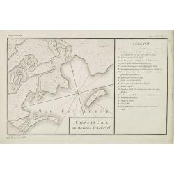
Cours de l'Iaik au dessous de Gourief.
Engraved map of the estuary of the river Ural south of Gurjev. Map from a second French edition of Peter Simon Pallas' Voyages du Professeur Pallas, dans Plusieurs Provin...
Place & Date: Paris, Maradan, 1794
Selling price: $60
Sold in 2010
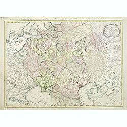
Imperium Russicum, cum regionibus adiacentibus duabus Tabulis ex optima quae A. 1784 tribus foliis comparavit Mappa geographica, aliisque subsidiis delineatum a C. Mannert, Tabula Ima. . .
A detailed map of the European part of the Russian Empire. Scarce map. Copper etching by C. Mannert and edited by Adam Gottlieb Schneider and Johann Christoph Weigel. Man...
Place & Date: Nuremberg, 1794
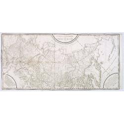
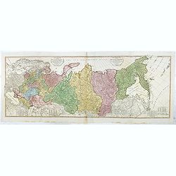
The Asiatic Part of the Russian Empire. . .
Large map of Asiatic Russia and some of the Aleutians recently discovered. Many details and speculations. Features the important discoveries of Vitus Behring (or Bering),...
- $500 / ≈ €468
Place & Date: London, 1794
Carte générale de l'empire de Russie.
Map of Russia. Map from a second French edition of Peter Simon Pallas' Voyages du Professeur Pallas, dans Plusieurs Provinces de l’Empire de Russie et dans l’Asie Sep...
Place & Date: Paris, Maradan, 1794
Imperii Russici Pars Orientem Spectans Tab. II da. ex optimis subsidiis delineata a. C. Mannert Norimberge Prostat in Officina A. G. Schneideriana. . .
The Russian empire eastward from the Dvina River, indicating some unexplored coastlines in Nova Zemlya and northeastern Siberia. Includes an inset with a portion of Alask...
- $750 / ≈ €702
Place & Date: Nurernberg, 1794
Boertige reis door Europa. . . [with] Europa volgens de nieuwste verdeeling. . .
Rare illustrated publication including a rare map of Europe as a regal queen with the title "Geheimzinnige toebereidselen tot eene boertige reis door Europa. [...] v...
- $2000 / ≈ €1871
Place & Date: Haarlem, 1794
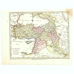
Turkey in Asia.
An attractive map covering Asia Minor, Syria, Armenia, Georgia, Kurdistan, Iraq, Syria, Cyprus and the Black Sea. Shows towns, rivers, mountains, lakes, etc. In pretty or...
- $65 / ≈ €61
Place & Date: London, 1794
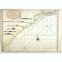
The Coast of India, from Point Gordeware to the Ganges Comprehending Part of the Coast of Golconda . . .
Detailed sea chart of the coast of India, from the mouths of the Ganges Rivers in the northeast to Point Gordeware in the south west. Includes numerous sailing channels a...
- $400 / ≈ €374
Place & Date: London, 1794
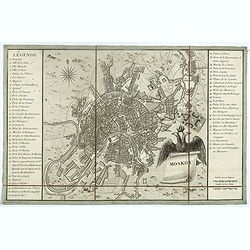
Moskou.
Charming little town-plan of Moscow engraved by Tardieu. Separately issued and also included in "l’Histoire de la Russie" by Leclerc. This plan is decorated w...
- $750 / ≈ €702
Place & Date: Paris, 1794
The European Part of the Russian Empire . . .
Highly detailed map of the Russian Empire at the end of the 18th Century, by William Faden.The map is a significant advance from the earlier maps by Kitchin, Sayer and Je...
- $800 / ≈ €749
Place & Date: London, 1794
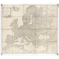
L'Europe divisée en des Etats, Empires, Royaumes et Républiques.
Large wall map of Europe with inset map of Iceland and cartouche drawn and etched by Arrivet. Revised edition by Charles François Delamarche (1st ed.: 1767), entitled &q...
- $1350 / ≈ €1263
Place & Date: Paris, (n.d.) c. 1793/1794
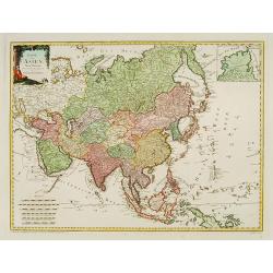
Karte von Asien.
An attractive map of Asia. With a decorative title cartouche in the upper left-hand corner. Engraved by Aarons.Franz Johann Josef von Reilly (Vienna 18 august 1766 - 6 ju...
Place & Date: Vienna 1795
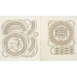
Two sheets for constructing an armillary sphere.
Two sheets for constructing an armillary sphere. Cassini was a geographer and cartographer, but also perspective and architecture carver - one of Giovanni Battista Pirane...
Place & Date: Rome, 1795
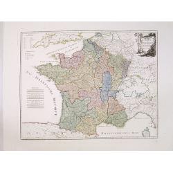
Karte von Frankreich.
An attractive oversized map of France. With a decorative title cartouche in the upper right-hand corner and a legend on the left side. Engraved by Ant.Amon.Franz Johann J...
Place & Date: Vienna, 1795
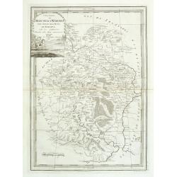
I Governi Di Moscovia E Woronez Nell' Impero Della Russia In Europa . . .
Rare and highly decorative regional map of Russia. The map is centered on Moscow and covers the region bounded by the course of the Volga River from north of Romanow to t...
- $350 / ≈ €328
Place & Date: Rome, 1795
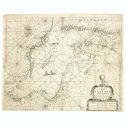
A plat of the East Sea. By William Fisher and Richard Mount...
An important sea chart of the East Sea with coast lines of Poland, Russia, Sweden, published by William Fisher and Richard Mount in London.Richard Mount (1654-1722) was a...
- $1800 / ≈ €1684
Place & Date: London, 1795
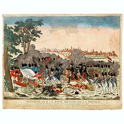
Bataille sur la rive droite de la Brenta. gagnée par les Français de 22 fructidor an 4. Bonaparte Général en chef. . .
Uncommon optical print showing the siege of Bassano in 1795, during the French Revolutionary Wars, in the territory of the Republic of Venice, between a French army under...
- $150 / ≈ €140
Place & Date: Paris, ca. 1795
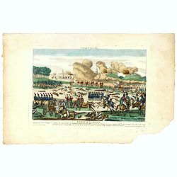
Bataille sur la rive droite de la Brenta. gagnée par les Francais de 22 fructidor an 4. Bonaparte Général en chef. . .
Uncommon print showing the siege of Bassano in 1795, during the French Revolutionary Wars, in the territory of the Republic of Venice, between a French army under Napoleo...
- $150 / ≈ €140
Place & Date: Paris, ca. 1795
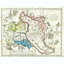
Carte générale de la Pologne : avec ses différens démembremence par les puissances partageantes en 1773 et 1795 / dessinée et dressée par Mariaval. . .
Very rare map of Poland, engraved by Tardieu l’Ainé, active at rue de Sorbonne 385.
- $750 / ≈ €702
Place & Date: Paris, ca. 1795
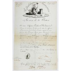
Passeport.
Passport for the United States in the name of Madeleine Lavit Femme Lory, issued by the Commission of Interior Relations and approved by the Committee of Public Safety.Th...
- $750 / ≈ €702
Place & Date: Paris, 1795
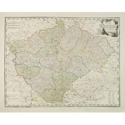
Karte von dem Konigreiche Boheim.
An attractive map of Bohemia. With a nice title cartouche decorated with cherubs in the upper right-hand corner. Engraved by Kil. Ponheimer.Franz Johann Josef von Reilly ...
- $300 / ≈ €281
Place & Date: Vienna, 1796
I Governi di Olonechoi, Carella, Bielozero, e'd Ingria nell Impero della Russia in Europa con la Lapponia Russa. . .
An uncommon map of Finland, Lapland and part of Russia with highly decorative title cartouche. From 'Nuovo Atlante Geografico Universale'.
Place & Date: Rome, 1796
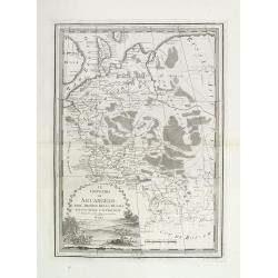
Il governo di arcangelo nell' impero della russia diviso. . .
Detailed map of the northern part of the Russian Empire with a decorative title cartouche. In the upper left corner part of the Baltic Sea with Lapland. Published in the ...
Place & Date: Rome, 1795-1796
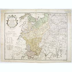
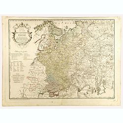
Karte von dem Russischen Reiche in Europa . . .
An attractive map of European Russia. Very detailed with rivers lakes mountains etc. Russia with a decorative title cartouche in the upper left-hand corner. Engraved by F...
- $650 / ≈ €608
Place & Date: Vienna, 1796
Karte von dem Russischen Reiche in Europa . . .
An attractive large map of European Russia, including Finland. Very detailed with rivers lakes mountains etc. Russia with a decorative title cartouche in the upper left-h...
- $650 / ≈ €608
Place & Date: Vienna, 1796
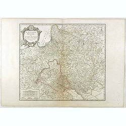
Le Royaume De Pologne, divise selon les Partages faits en 1772, 1793 et 1795, etnre la Russie, la Prusse et l'Autriche . . .
The uncommon later edition of this detailed map of Poland, showing the lands lost to Russia, Prussia and Austria in 1772, 1793 and 1795. with a color key added underneath...
- $600 / ≈ €561
Place & Date: Paris, ca. 1796
Nuova Guinea e Nuova Galles ed Isole Adjacenti
Map of the South Pacific, showing the sailing routes to the South Pacific by Carteret and Byron, but most importantly the discoveries made by Captain Cook, 1768-1771. The...
- $1750 / ≈ €1638
Place & Date: Venise, 1794-1796
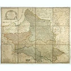
Karte von Polen.
An attractive map of Poland. With a decorative title cartouche in the upper left-hand corner. Engraved by Ant. Amon. Franz Johann Josef von Reilly (Vienna 18 august 1766 ...
- $950 / ≈ €889
Place & Date: Vienna, 1796
Le Indie Orientali E Il Loro Arcipelago . . .
Striking map of the region from the Gulf of Bengal to Hainan, centered on the Malay Peninsula, Straits of Malacca, Sumatra, Java and Philippines.This is the uncommon edit...
- $500 / ≈ €468
Place & Date: Venise, 1794-1796
Sketch of A Journey from Hang-Tchoo-Foo To Quang-Tchoo-Foo or Canton in China.
A detailed map taken from, from Staunton's 'An Authentic Account of an Embassy from the King of Great Britain to the Emperor of China'.The map shows the second part of Ma...
Place & Date: London, 1796
I Paési Bassi Austriaci.
A rare and detailed map of Belgium by Pazzini, Carli (1707-1769) and Bartolomeo Borghi (1750-1821). Features decorative title cartouche. Included in "Atlante Geogra...
- $125 / ≈ €117
Place & Date: Siena, 1796
Mappa Mondo tagliato sulpiano di unmeridiano Emisfero Occidentale. [togther with] … Orientale.
World map on two sheets - Western Hemisphere (North and South America, Oceania, Greenland) and Eastern Hemisphere (Europe, Africa, Asia, Australia). Published by Pazzini,...
- $500 / ≈ €468
Place & Date: Siena, 1796
L'Africa divisa nelle sue principali parti…
Rare map of Africa. Published by Pazzini, Carli (1707-1769) and prepared by Bartolomeo Borghi (1750-1821). Features decorative title cartouche. Included in "Atlante ...
- $300 / ≈ €281
Place & Date: Siena, 1796
[Lot of 3 maps] Le Coste Dell' Alta Guinea… [with] Carta del Basso Egitto [with] Le Coste di Barbaria.
A lot of three maps of nort and eastern Africa. Published by Pazzini, Carli (1707-1769) and prepared by Bartolomeo Borghi (1750-1821). Features decorative title cartouche...
- $300 / ≈ €281
Place & Date: Siena, 1796
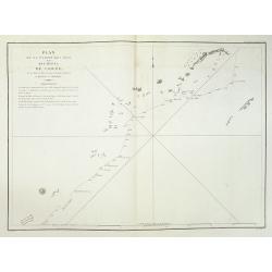
Plan de la partie des iles, ou archipel de Coree, vue au mois de Mai 1787 par les Fregates Francaises la Boussole et l'Astrolabe. . . .
Showing the track of La Pérouse along the southern most tip of Korea, with Quelpaerts Islands (now-a-days called Jeju, with the vulcano Halla-san (Halla Mountain) clearl...
- $400 / ≈ €374
Place & Date: L'Imprimerie de la Republique, An V, 1797
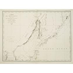
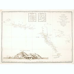
Carte des découvertes fautes en 1787 dans les Mers de Chine et de Tartarie par les Frégates Françaises la Boussole et l'Astrolabe. . . ée. Feille.
La Pérouse's important large-scale of Northern Japan, Hokkaido, the Kuriles, the tip of Kamschatka, and the northern part of Korea.Showing the track of Perouse from 27 ...
Place & Date: Paris, 1797
(Untitled map of northern Italy)
Including the towns of Milan, Bergamo, Mantova, Verona with the river Po in the bottom. One page from his multi sheet map "Carta del Territorio della Repubblica Casa...
- $250 / ≈ €234
Place & Date: Florence, 1797
Terre de Chanaan, ou Terre promise à Abraham et à sa Posterité . . . .
Two maps on one sheet. With a map of Palestine and a map of the Near Eas with a title cartouche "Carte des voiages d'Abraham faits par l'ordre de Dieu, en Asie et en...
Place & Date: Paris, ca. 1797
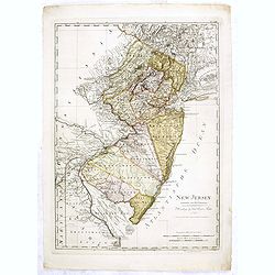
New Jersey entworfen von D.F. Sotzmann. Hamburg bey Carl Ernst Bohn 1796 . . . NO.VIII
Extremely rare map of New Hampshire prepared by Daniel Friedrich Sotzmann for Christopher Ebeling's "Erdbeschreibung von Amerika", a project ended after only te...
Place & Date: Hamburg, Carl Ernst Bohn, 1797
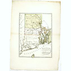
Rhode Island entworfen von D.F. Sotzmann. Hamburg bey Carl Ernst Bohn 1798 . . . NO.V
Extremely rare map of Rhode Island prepared by Daniel Friedrich Sotzmann for Christopher Ebeling's "Erdbeschreibung von Amerika", a project ended after only ten...
Place & Date: Hamburg, Carl Ernst Bohn, 1797
Plan de la partie des iles, ou archipel de Coree, vue au mois de Mai 1787 par les Fregates Francaises la Boussole et l'Astrolabe. . . .
Showing the track of La Perouse along the southernmost tip of Korea, with Quelpaerts Islands (nowadays called Jeju, with the volcano Halla-san (Halla Mountain) clearly no...
- $450 / ≈ €421
Place & Date: L'Imprimerie de la Republique, An V, 1797
Le Isole del Giappone e la Corea delineate sulle ultima osservazioni.
First edition on laid paper. Cassini’s splendid early map of Japan and Korea, with large decorative title cartouche. The map has a very unusual, almost triangular, repr...
Place & Date: Rome, 1797
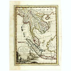
La Penisola delle Indie di la' dal Gange con parte delle Isole della Sonda delineate sulle ultima osservazioni.
First edition on laid paper. Cassini’s splendid early map of Indochina, from Bangladesh in the west to central Borneo in the east, and southern China in the north, to B...
Place & Date: Rome, 1797
Plan de la partie des Isles ou Archipel de Corée.
Showing the track of La Perouse along the southern most tip of Korea, with Quelpaerts Islands (now-a-days called Jeju, with the volcano Halla-san (Halla Mountain) clearly...
- $250 / ≈ €234
Place & Date: Paris, 1797
Plan de la partie des Isles ou Archipel de Coree.
Showing the track of La Perouse along the southernmost tip of Korea, with Quelpaerts Islands (nowadays called Jeju, with the vulcano Halla-san (Halla Mountain) is clearly...
- $350 / ≈ €328
Place & Date: Paris, 1797
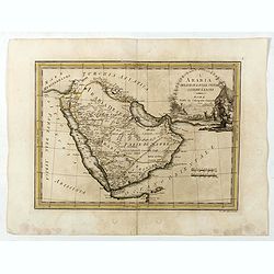
L'Arabia delineata sulle ultime osservazioni.
First edition on laid paper. Cassini’s splendid early map of Arabia.
Place & Date: Rome, 1797
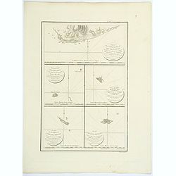
Plan de la partie de l'ile de quelpaert. . . / Plan de l'ile Hoapinsu. . . / Plan de l'ile Dagelet. . . / Plan de la partie de l'ile de Botol. . . / Plan de l'ile de Kumi. . .
Five plans on a folio sheet. These charts include Cheju Do, Korea (Quelpaert Is.), Kume-Shiwa, Okinawa (Kumi), and Ullung Do (Dagelet).Including one of the earliest maps ...
- $750 / ≈ €702
Place & Date: Paris, 1797
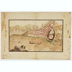
Piano di Nizza.
Rare 1797 manuscript map of Nice, with the French navy attacking from the sea. Unknown author, Italian, but map attributed to an original, probably broadsheet map by Moll...
Place & Date: Italy, after 1797
Campagna di Roma Di nuova Projezione. . .
A very striking map of the area south east of Rome, engraved by G.Pitteri embellished with an colored pictorial title cartouche.
Place & Date: Venice, 1798
Selling price: $200
Sold in 2015
Plan of part of the islands or archipellago of Corea seen in May 1787 by the Boufsole and Astrolabe.
This is a representing the visit of the French Admiral and explorer, le Comte de La Pérouse to Korea in 1786. The tracks of La Perouse are shown.From 'Atlas du Voyage d...
Place & Date: London, 1798
Part of the island of Quelpart seen 21 may 1787. . . [5 maps on one sheet]
Detailed maps of islands south of Korea. Of interest is the inset map of L'ile Dagelet (The Isle of Dagelet), the note in French says "Discovered by the French friga...
- $300 / ≈ €281
Place & Date: London, G. G. & J. Robinson, Paternoster Row, London, 1798
Tableau des Decouvertes du Cap.ne Cook, & de la Pérouse.
Three series of figures of natives with key below, surrounded by narrow pictorial border.Grasset de Saint Sauveur skillfully wove together two dozen individual scenes fro...
- $2200 / ≈ €2059
Place & Date: Paris, 1798
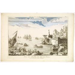
Vue de Malthe du cote du Fort.
A so-called optical print of Valletta seen from the castle. This rare optical print shows people in typical French dresses in the foreground and placed in boats.In the ei...
Place & Date: Paris, 1798
Costumes des habitans de Manille.
A very beautiful print, showing four elegant figures relaxing in a shady glade, two women recline and two stand chatting.After a design of Duché de Vancy and engraved by...
Place & Date: Paris, 1798
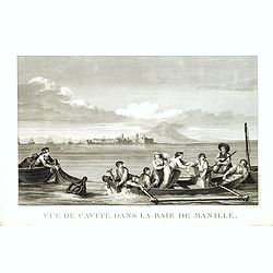
Vue de cavite dans la Baie de Manille.
Two boats and passengers with Cavite Philippines in the background as if was seen from Manila Bay in January 1787. After a design of Gaspard Duchè de Vancy and engraved ...
Place & Date: Paris, 1798
Carte des découvertes au Nord du Japon.
Chart of the discoveries to the north of Japan, in 1643 by the Dutch ships Castricum and Breskens. In two small insets in the top of the chart the province of Osju is dep...
- $400 / ≈ €374
Place & Date: Paris, 1798
SETTSU MEISHO ZUE. Illustrations of famous places in Settsu.
Settsu Meisho Zue was printed in two series of 8 and 4 volumes. The principal illustrator was Takehara Shunchosai, but many illustrations in the 4 volumes supplement are ...
Place & Date: Osaka, Yanagiwara Kibei, Kansei 8-10 or 1796-1798
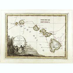
Le Isole di Sandwich delineate sulle osservazioni del Cap Cook.
FIRST EDITION on laid paper. Cassini’s splendid map depicts Sandwich islands, old name for Hawaii islands, at the end of the eighteenth century. The splendid cartouche ...
Place & Date: Rome, 1798
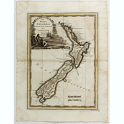
La nuova Zelanda delineate sulle ultima osservazioni del Capitan Cook.
First edition on laid paper Cassini’s splendid early map of New Zealand, being the most decorative version of Captain Cook's map of New Zealand, published in the very s...
Place & Date: Rome, 1798
La nuova Zelanda delineate sulle ultima osservazioni del Capitan Cook.
First edition on laid paper Cassini’s splendid early map of New Zealand, being the most decorative version of Captain Cook's map of New Zealand, published in the very s...
Place & Date: Rome, 1798
Le Isole di Sandwich delineate sulle osservazioni del Cap Cook. [Hawaii]
FIRST EDITION on laid paper. Cassini’s splendid map depicts Sandwich islands, old name for Hawaii islands, at the end of the eighteenth century. The splendid cartouche ...
Place & Date: Rome, 1798
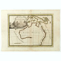
La Nuova Olanda e La Nuova Guinea delineate sulle ultima osservazioni.
Cassini’s splendid and rare map of Australia and New Guinea, from the 'Nuovo Atlante Geografico Universale'. The emphasis of the map is the charting of Captain Cook dow...
Place & Date: Rome, 1798
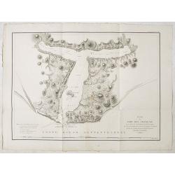
Plan du Port des Francais sur la Cote du Nord-Ouest de l'Amerique, par 58°37' de Latitude Nord et 139°50' de Longitude Occidentale, Decouverte le 2 Juillet 1786, par les Fregates Francaise la Boussole et l'Astrolabe.
Chart of the entrance of Bassin de L'Quest , visited on July 2nd 1786 by La Perouse. On many 18th century maps we find a depiction of Mer de L'Quest or Sea of the West a ...
- $500 / ≈ €468
Place & Date: Paris, 1798
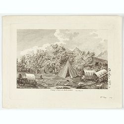
Camp à Duywen Hock Riviere. (Tom.1er. Pag.131.)
Camp Duywen Hock River engraved view, from Francois Levaillant’s Voyage dans l’interieur de l’Afrique. Text in French reads “Tom. 1er. Pag. 131. Atlas pl. 5. 1er ...
- $250 / ≈ €234
Place & Date: Paris, 1798
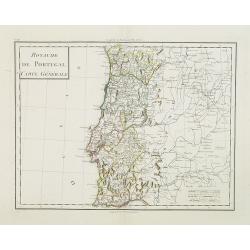
Royaume de Portugal Carte Générale.
Map of Portugal in attractive out-line color.
- $100 / ≈ €94
Place & Date: Paris, 1799
[Set of 6 maps] Charta öfver Storfurstendömet Finland på Friherre S. G. Hermelins Anstalt och Omkostnad. Sammandragen och författad af C. P. Hällström. Philos. Magister och Auscultant i Kongl. BergsColl. 1799.
This is the beautiful set of key map and separate maps of Samuel Gustav Hermelins map of Finland. The maps have been engraved by Fredrik Akrel, a very skilled and product...
Place & Date: Källa: J.Strang & E.- S. Harju: Suomen karttakirja 1799
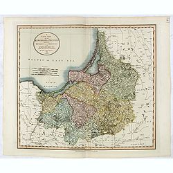
A New Map of the Kingdom of Prussia with its Divisions Into Provinces and Governments . . .
Highly detailed regional map of Prussia, including the Baltic regions and part of Poland, from Cary's Universal Atlas, one of the finest atlases of the period.
- $275 / ≈ €257
Place & Date: London, 1799
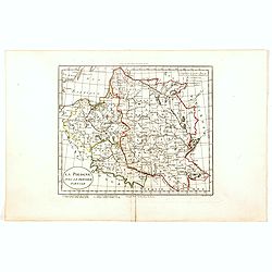
La Pologne avec le dernier partage.
Uncommon map of Poland and Lithuania. Engraved by Alexandre Blondeau (1799-1828), with Brezesci in the center of the map.From "Atlas universal pour la géographie de...
- $200 / ≈ €187
Place & Date: Paris, Hyacinthe Langlois, 1799
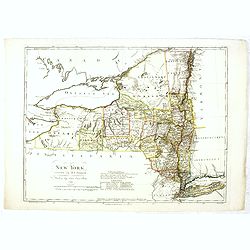
New Yok entworfen von D.F. Sotzmann. Hamburg bey Carl Ernst Bohn 1799 . . . NO.VII
An extremely rare map of New York prepared by Daniel Friedrich Sotzmann for Christopher Ebeling's "Erdbeschreibung von Amerika", a project ended after only ten ...
Place & Date: Hamburg, Carl Ernst Bohn, 1799





![[Set of five maps] Carte Générale de la Terre ou Mappe Monde](/uploads/cache/41145X-250x250.jpg)
![[Lot of 8 broad sheets] Campaign indemnities granted to pharmacy students in ambulant hospitals.](/uploads/cache/48381-250x250.jpg)



![Boertige reis door Europa. . . [with] Europa volgens de nieuwste verdeeling. . .](/uploads/cache/32642-250x250.jpg)




![Mappa Mondo tagliato sulpiano di unmeridiano Emisfero Occidentale. [togther with] … Orientale.](/uploads/cache/48543-250x250.jpg)

![[Lot of 3 maps] Le Coste Dell' Alta Guinea… [with] Carta del Basso Egitto [with] Le Coste di Barbaria.](/uploads/cache/48545-250x250.jpg)








![Part of the island of Quelpart seen 21 may 1787. . . [5 maps on one sheet]](/uploads/cache/29902-250x250.jpg)




![Le Isole di Sandwich delineate sulle osservazioni del Cap Cook. [Hawaii]](/uploads/cache/43195-250x250.jpg)
![[Set of 6 maps] Charta öfver Storfurstendömet Finland på Friherre S. G. Hermelins Anstalt och Omkostnad. Sammandragen och författad af C. P. Hällström. Philos. Magister och Auscultant i Kongl. BergsColl. 1799.](/uploads/cache/34482-250x250.jpg)
