Browse Listings in Europe > Scandinavia > general
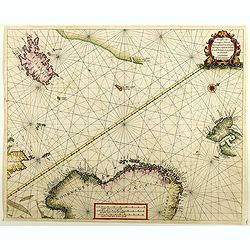
Regiones Sub Polo Arctico.
One of the many cases of duplication by the firms of Blaeu and Hondius/Jansson. In this case, Blaeu has copied Janssonius's map of 1637. It depicts rhumb lines radiating ...
- $850 / ≈ €795
Place & Date: Amsterdam, 1640
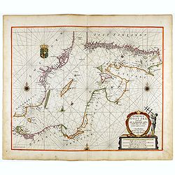
Oost Zee door Arnold Colom.
Large double-page engraved chart of the Baltic Sea including the coastlines of Finland, Estonia, Latvia, Lithuania, Poland, Denmark and Sweden with a decorative inset of ...
- $1500 / ≈ €1404
Place & Date: Amsterdam, c. 1654
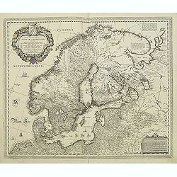
La Scandinavie et les environs ou sont les royaumes de Suede, de Danemarck et de Norwege. . .
The standard map of Scandinavia in 17th century France. Engraved by A.Peyrouin.Nicolas Sanson was to bring about the rise of French cartography, although the fierce compe...
- $350 / ≈ €328
Place & Date: Paris, 1647-1659
Pascaerte van Groen-Landt, Yslandt, Straet Davids en Ian Mayen eylandt. . .
An eye-catching chart of the North Atlantic, showing prominent Greenland, Iceland, and parts of the North American continent. The map is decorated with a large figurative...
- $1000 / ≈ €936
Place & Date: Amsterdam, 1666
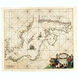
Pas-Caart van de Oost Zee verthooende alle de ghelegenheydt tusschen t Eylandt Rugen ende Wyborg. . .
An eye-catching chart of the Baltic Sea. Engraved by Gerard Coeck.Pieter Goos (ca. 1616-1675) was one of the most important cartographers, engravers, publishers and print...
- $1500 / ≈ €1404
Place & Date: Amsterdam, 1666
De custen van Noorwegen, Finmarcken, Laplandt, Spitsbergen . . .
Two sea charts on one sheet showing Norway, Finland, Iceland, Spitsbergen and part of Scotland. The chart includes a detailed plan of the coastlines, soundings, anchorage...
Place & Date: Amsterdam, 1666
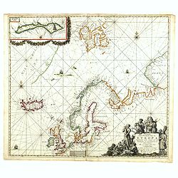
Pascarte van Europa Beginnende vande Canael tot aen Spitbergen, en van Ysland tot aen Nova Zemla . . .
An eye-catching chart of northern Europe with a coastline from northern Russia to the Dutch English Channel in the south. Good detail on Iceland. North to the top.In the ...
Place & Date: Amsterdam, after 1666
Norvege et Suede.
Rare map of Norway, Sweden and Finmark published by Jollain in 1667. Published in "Trésor Des Cartes Geographiques Des Principaux Estats de Lunivers".This atla...
- $250 / ≈ €234
Place & Date: Paris, 1667
Mare Balticum. . . / Nieuwe Pascaert van de Oost Zee. . .
Decorative chart showing the Baltic sea, with a splendid cartouche of royal figures. A re-issue of the De Wit copper plates, now with many improvements.
- $2500 / ≈ €2339
Place & Date: Amsterdam ca.1680
Tabula exactissima Regnorum Sueciae et Norvegiae..
Very fine and uncommon map of Scandinavia, after Andreas Buraeus, the father of Swedish cartography, whose map was compiled from original survey work. Dedicated to Gustav...
- $750 / ≈ €702
Place & Date: Amsterdam, 1680
La Scandinavie et les environs, ou sont le royaumes de Suede de Danemarck, et de Norwege . . .
Fine map of Scandinavia and the Baltic States with rococo title cartouche with a dedication to Le Dauphin with his coat of arms. A separate scale cartouche in lower left ...
- $500 / ≈ €468
Place & Date: Amsterdam, 1694
[Lot of 6 plates] Carte de la Laponie Suedoise.
Chatelain's map of Lapland (170 x 205mm.) , with views of indigenous people and customs (including Reindeer!), etc.Together with 4 other engraved pages with views of indi...
- $300 / ≈ €281
Place & Date: Amsterdam, 1719
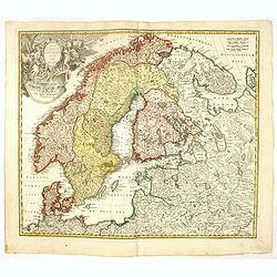
Regni Sueciae in omnes suas Subjacentes Provincias accurate divisi Tabula Generalis. . .
Johann Baptist Homann's well-engraved map has a large decorative cartouche. Detailed map of Scandinavia, the Baltic Sea, Lithuania, Latvia, Estonia, Curlandia, etc.Johann...
- $300 / ≈ €281
Place & Date: Nuremberg, 1747
Scandinavia complectens Sueciae, Daniae & Norvegia. . .
Johann Baptist Homann's well-engraved map has a large decorative cartouche. Detailed map of Scandinavia.Johann Baptist Homann (1663-1724) was a German engraver and publis...
- $350 / ≈ €328
Place & Date: Nuremberg, 1747
Regni Sueciae. . .
Johann Baptist Homann's well-engraved map has a large decorative cartouche. Detailed map of Sweden and Finland.Johann Baptist Homann (1663-1724) was a German engraver and...
Place & Date: Nuremberg, 1747
Sweden and Norway.
Herman Moll's mid eighteenth century map of Sweden and Norway, extending down to Denmark, across to Finland, and south to the Baltic states of Estonia, Livonia etc. With ...
- $125 / ≈ €117
Place & Date: London, ca 1750
Sweden and Norway.
Uncommon miniature map of Sweden and Norway, engraved by Thomas Kitching for "A New General and Universal Atlas Containing Forty five Maps by Andrew Dury".This ...
- $75 / ≈ €70
Place & Date: London, 1761-1763
Les Royaumes De Suede Norwege et Danemark. . .
Scarce map of Scandinavia with inset map of Spitsbergen and northern coast of Lapland. Prepared by Nolin and published by L.J. Mondhare for his Atlas Général a l'usage ...
- $100 / ≈ €94
Place & Date: Paris, 1783
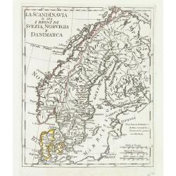
La Scandinavia o sia i regni di Svezia, Norvegia e Danimarca.
Charming and uncommon map of Scandinavia, including Norway, Sweden, Denmark, Finland and part of Russia, from the rare atlas Atlante Tascabile o sia Serie di Num. XXI Car...
Place & Date: Rome, 1823
Sweden & Norway.
An attractive steel engraved map of Sweden & Norway. An inset map which is the continuation from Tornea to North Cape. Many place names and physical features shown.Th...
Place & Date: London, 1839
Suède, Norvège et Danemark.
Detailed map of Sweden, Norway and Denmark, prepared by Charles V. Monin (fl.1830-1880) a French cartographer of Caen and Paris. Published in Atlas Universel de Géograph...
- $35 / ≈ €33
Place & Date: Paris, 1845
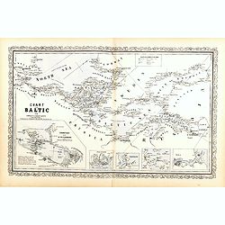
Chart of the Baltic from admiralty & Russian surveys.
Uncommon map of the Baltic Sea and adjacent countries (Denmark, Sweden, Finland, Estonia, Latvia, Lithuania, Poland, Germany) with five vignettes to illustrate the respec...
- $300 / ≈ €281
Place & Date: Pennsylvania, ca. 1856
Circoscrizione delle Province ecclesiastiche e Diocesi nelle Impero di Russia in Europa vicariato aplico di Svezia Norvegia e prefettura del Polo Artico (Tav XC)
A large-format map of Sweden, Norway, Russia with its different dioceses. Inset map of Iceland and a North Pole projection. The map is finely engraved and beautifully col...
- $550 / ≈ €515
Place & Date: Rome, 1858




![[Lot of 6 plates] Carte de la Laponie Suedoise.](/uploads/cache/36604-250x250.jpg)

