Browse Listings in Europe > Scandinavia > Finland
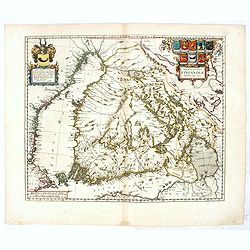
Magnus Ducatus Finlandiae Auct. Andrea Bureo Succo.
The first printed survey map of Finland, composed by the Swedish cartographer Anders Bureus (1571-1661). The map was published in 1662 in the second volume of Joan Blaeu'...
Place & Date: Amsterdam, 1660
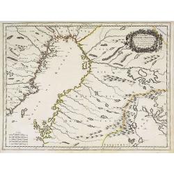
Cajanie, ou Bothnie Orientale Tirée de celles d'Andr Burae et de Isaac Massa. . .
Map of the Northern part of Gulf of Bothnia, today's border area between Sweden and Finland. The map derive from the work of the Swedish cartographer Andreas Bureus and I...
Place & Date: Paris, P.Mariette, 1666
MAGNI PRINCIPATUS, ceu Provinciae REGNI SUECIAE, FINNLANDIAE Mappa generalis geographica : ex HASIANIS aliisque certissimis subsidiis, in suas Provincias minores sive speciales, tanquam statum politicum modernum . . .
A large and rarely seen map of Finland prepared by Haas. Extends from St. Petersburg north to well above the Gulf of Bothnia.
- $700 / ≈ €655
Place & Date: Nuremberg, 1789
I Governi di Olonechoi, Carella, Bielozero, e'd Ingria nell Impero della Russia in Europa con la Lapponia Russa. . .
An uncommon map of Finland, Lapland and part of Russia with highly decorative title cartouche. From 'Nuovo Atlante Geografico Universale'.
Place & Date: Rome, 1796
[Set of 6 maps] Charta öfver Storfurstendömet Finland på Friherre S. G. Hermelins Anstalt och Omkostnad. Sammandragen och författad af C. P. Hällström. Philos. Magister och Auscultant i Kongl. BergsColl. 1799.
This is the beautiful set of key map and separate maps of Samuel Gustav Hermelins map of Finland. The maps have been engraved by Fredrik Akrel, a very skilled and product...
Place & Date: Källa: J.Strang & E.- S. Harju: Suomen karttakirja 1799


![[Set of 6 maps] Charta öfver Storfurstendömet Finland på Friherre S. G. Hermelins Anstalt och Omkostnad. Sammandragen och författad af C. P. Hällström. Philos. Magister och Auscultant i Kongl. BergsColl. 1799.](/uploads/cache/34482-250x250.jpg)