Search Listings matching "blaeu" in Europe > Germany > German Provinces
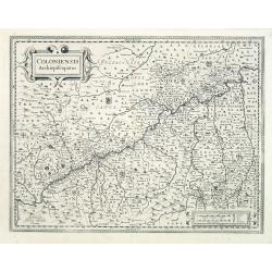
Coloniensis Archiepisscopatus.
Extremely rare first edition of this beautiful map of Cologne and Dusseldorff.Jodocus Hondius Jr. planned to produce a new modern atlas less dependent on the Mercator pla...
Place & Date: Amsterdam, 1629
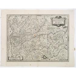
Monasteriensis Episcopatus.
The extremely rare first edition of this beautiful map of Munster.Jodocus Hondius Jr. planned to produce a new modern atlas less dependent on the Mercator plates that his...
Place & Date: Amsterdam, 1629
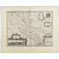
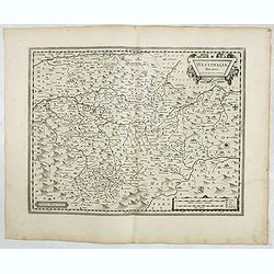
Westphalia Ducatus.
Extremely rare first edition of this beautiful map of Westphalia.Jodocus Hondius Jr. planned to produce a new modern atlas less dependent on the Mercator plates that his ...
Place & Date: Amsterdam, 1629
Sueviae Nova Tabula.
Extremely rare first edition of this beautiful map of Swaben, including Ulm, Augsburg, Stuttgart, Zurich, Lucerne and Lake Constance.Jodocus Hondius Jr. planned to produc...
Place & Date: Amsterdam, 1629
Oldenburg Comitatus
A map of the northern part of Germany centered on Oldenburg. Also showing Bremen. North to the right. The decoration consists with a windrose and a title cartouche surmou...
Place & Date: Amsterdam, 1629-1630
Meklenburg Ducatus.
Very detailed map of the northern part of Germany decorated with a coat of arms, a windrose and two saling ships.From the rare atlas Appendix, published in a very small n...
Place & Date: Amsterdam, 1629-1630
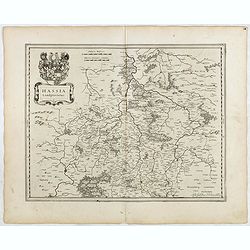
Hassia Landgraviatus.
FIRST EDITION, FIRST ISSUE OF THIS MAP. From the 1634 edition of Blaeu's Atlas Novus, the first edition of this work.Important map of Hesse in Germany, centered on the to...
- $100 / ≈ €94
Place & Date: Amsterdam, 1634
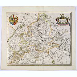
Wirtenberg Ducatus.
FIRST EDITION, FIRST ISSUE OF THIS MAP. From the 1634 edition of Blaeu's Atlas Novus, the first edition of this work. PROOF STATE with blank upper right corner, only incl...
- $100 / ≈ €94
Place & Date: Amsterdam, 1634
Osnabrugensis Episcopatus.
Originally engraved for Jodocus Hondius II, at his death in August 1629 this map was, among 39 other copper plates, purchased by Willem Blaeu who deleted Hondius' name an...
- $150 / ≈ €140
Place & Date: Amsterdam, 1634
Westphalia Ducatus.
Originally engraved for Jodocus Hondius II, at his death in August 1629 this map was, among 39 other copper plates,purchased by Willem Blaeu who deleted Hondius' name and...
- $100 / ≈ €94
Place & Date: Amsterdam, 1634
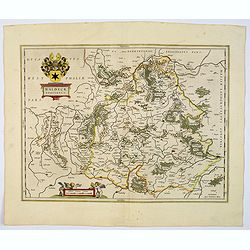
Waldeck Comitatus.
FIRST EDITION, FIRST ISSUE OF THIS MAP. From the 1634 edition of Blaeu's Atlas Novus, the first edition of this work.Important early map of Waldeck. Attractive coat of ar...
- $100 / ≈ €94
Place & Date: Amsterdam, 1634
Franconia vulgo Franckenlandt.
FIRST EDITION, FIRST ISSUE OF THIS MAP. From the 1634 edition of Blaeu's Atlas Novus, the first edition of this work.Map highlights all the major cities of this region li...
- $100 / ≈ €94
Place & Date: Amsterdam, 1634
Mansfeldia Comitatus. . .
FIRST EDITION, FIRST ISSUE OF THIS MAP. From the 1634 edition of Blaeu's Atlas Novus, the first edition of this work.Centered on Mansfeld and its surrounding region, this...
- $100 / ≈ €94
Place & Date: Amsterdam,1634
Nassovia comitatus.
Elegantly engraved map of the region including Koblenz, Sigen and Dillenburg. The mountainous topography is graphically depicted and there is a coats of arms in the corne...
- $100 / ≈ €94
Place & Date: Amsterdam, 1634
Franconia vulgo Franckenlandt.
Fine copy centered on Bamberg, Nuremberg, Würzburg, and Nuremberg. French text on verso. Würzburg is the main city in Franconian wine country. Grapevines cover the stee...
Place & Date: Amsterdam, 1635
De Hertochdommen Gulick Cleve Berghe en de Graefschappen...
It is one of Blaeu's early maps: It was only published between 1630 and 1635 in three editions of the "Appendix" and one of the "Theatrum". In the lef...
Place & Date: Amsterdam, 1635
Osnabrugensis episcopatus.
A beautiful map of Munster centered on the city of Osnabruck. Prepared by Joannes Michael Gigas (1580-1650+), a doctor, mathematician and geographer. Showing an inset wit...
Place & Date: Amsterdam, 1638
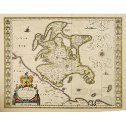
Rugia Insula ac ducatus. . .
Willem Blaeu's highly decorative map of the island of Rugen in the Baltic Sea from a map by Eihard Lubin. Embellished with a title-cartouches, and 30 coats-of-arms in the...
- $300 / ≈ €281
Place & Date: Amsterdam, 1638
Saxonia Superior, cum Lusatia et Misnia.
Finely engraved and detailed map of Saxony including Halle, Leipzig, Meissen, and Dresden. Filled with forests and tiny villages. It presents Prague close to the centre o...
Place & Date: Amsterdam, 1638
Mansfeldia Comitatus. . .
Centered on Mansfield and prepared by Telemann Stella (1527-1589) a German cartographer who made maps of Germany and the Holy Land.As Willem Blaeu died in 1638 most of hi...
Place & Date: Amsterdam, 1638
Monasteriensis Episcopatus.
A very detailed map of Germany centered on Munster and Linge. Also showing Wessel to the top of the map and Oldenburg to the right. North to the right. The map is adorned...
Place & Date: Amsterdam, 1638
Bravnswyck et Meydburg. . .
As Willem Blaeu died in 1638 most of his maps are actually published by his son Joan. This maps carries his (engraved) signature and was actually published in volume II o...
Place & Date: Amsterdam, 1638
Westphalia Ducatus.
Elegantly engraved map of Westphalia including Hamm and Lippstadt. The mountainous topography is graphically depicted and several small coats of arms dot the map. Strapwo...
Place & Date: Amsterdam, 1638
Comitatus Marchia et Ravensberg.
With an inset of Ravensberg comitatus. Decorative title cartouche with coats of arms. Scale cartouche with a surveyor.As Willem Blaeu died in 1638 most of his maps are ac...
- $80 / ≈ €75
Place & Date: Amsterdam, 1638
Paderbornensis Episscopatus Descriptio Nova.
Detailed map by Willem Blaeu., centered on Paderborn. Embellished with several coats of arms. Prepared by Joannes Michael Gigas (1580-1650+), a doctor, mathematician and ...
- $175 / ≈ €164
Place & Date: Amsterdam, 1640
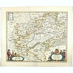
Comitatus Glatz.
Nice map by Willem Blaeu of the Silesia region with Glatz (Klodzko) at center. The forested region was renowned for its wild game and the map includes tiny illustrations ...
- $450 / ≈ €421
Place & Date: Amsterdam, 1644
Celeberrimi Fluvis Albis nova delineatio. . .
A decorative map from a 1640's Latin text edition of Blaeu's "Theatrum Orbis Terrarum, Sive Atlas Novis." The River Elbe is depicted in two sections from the mo...
- $80 / ≈ €75
Place & Date: Amsterdam, 1644
Monasteriensis Episcopatus.
A very detailed map of Germany centered on Linge. Showing Wessel to the top of the map, and Oldenburg to the right. North is oriented to the right. The map is further ado...
- $80 / ≈ €75
Place & Date: Amsterdam 1645
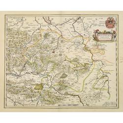
Archiepiscopatus Maghdeburgensis et Anhaltinus Ducatus.
A very nice, decorative copper engraved map of Lower-Saxony and Saxony-Anhalt by Blaeu. With one figural cartouche. Bounded on the west by the River Wesel between Nienbur...
- $80 / ≈ €75
Place & Date: Amsterdam, 1645
Wirtenberg Ducatus.
Map depicting the area south of Heidelberg, including Stuttgart, Ulm, etc.. and river Danube.A beautiful coat of arms and a splendid title cartouche decorated by three ch...
- $80 / ≈ €75
Place & Date: Amsterdam, 1645
Waldeck Comitatus.
Blaeu's attractive map of the region of Waldeck. Forests, hills and rivers all feature, along with towns villages and cities. Decorative title cartouche surmounted by coa...
- $100 / ≈ €94
Place & Date: Amsterdam, 1645
Westphalia Ducatus.
Originally engraved for Jodocus Hondius II, at his death in August 1629 this map was, among 39 other copper plates, purchased by Willem Blaeu who deleted Hondius' name an...
Place & Date: Amsterdam, 1645
