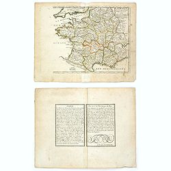
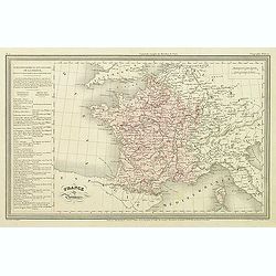
Page from La Cosmographie Universelle with map of France. (Page 160)
Text page with woodblock map of ancient France (122 x 163 mm.) In 1575 Sebastian Münster's Cosmographia was translated into French and published in Paris by François d...
- $75 / ≈ €70
Place & Date: Paris, 1575
Gallia.
Extremely rare map of France, Netherlands, Southern England, Switzerland, and Northern Spain. This map was never regularly included in the Theatrum; Denuce mentions the i...
Place & Date: Antwerp, ca 1598
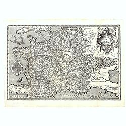
Descriptio Gadium [France].
An attractive miniature map of France, published by Petrus Bertius, in Amsterdam at the beginning of the seventeenth century. Title in bold capital letters above map, sti...
Place & Date: Amsterdam, 1606
Descriptio Galliae.
A charming small map of ancient Gaul, France under Roman occupation. Featuring most major cities, rivers, mountains and regions are named. From the Bertius atlas Tabularu...
- $100 / ≈ €94
Place & Date: Amsterdam, 1606
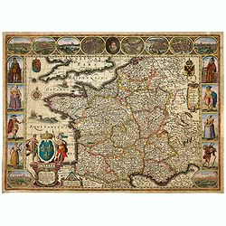
Gallia. Nova Galliae descriptio . . .
Very rare and early map of France with figures on three sides with views of cities, portraits (Henri IV and Marie de Medicis) and costumes. The map was directly influence...
Place & Date: Amsterdam, 1616
[Lot of 17 maps] L' ISLE DE FRANCE Pariensis agri descriptio. Francois de la Hoeye fecit, Jean le Clerc excud.
The map of Ile de France which Jean Leclerc added in his re-issue of Maurice Bouguereau's atlas 'Theatre Francois' , as ' La Theatre geographique de France' in 1619. An u...
- $1000 / ≈ €936
Place & Date: Paris, 1619
Gallia.
Small map of France, surrounded by text in Dutch. Nicolaes de Clerck (de Klerc) was active as engraver and publisher in Delft from 1599-1621.Included in the rare book : W...
- $70 / ≈ €66
Place & Date: Amsterdam, Cloppenburch, 1621
Antiquorum Galliae episcopatuum geographica descriptio. . . / Antiqui magnae Britaniae Episcopatus.
Detailed map of France during Ancient times. In lower left corner inset map of England "Antiqui magnae Britaniae Episcopatus." (160x146mm.) First published in &...
- $150 / ≈ €140
Place & Date: Paris, ca.1641
Typus Galliae Veteris, Ex conatib' Geograph. Abrah.Ortelii.
A very decorative map with countries of ancient France prepared by Abraham Ortelius and published by one of the most famous map publishers, Willem Blaeu.
Place & Date: Amsterdam, 1645
Regnum Galliae. . .
Map of France from the rare atlas of the Capucin order: "Chorographica descriptio provinciarum, et conventum fratrum minorum S. Francisci Capucinorum…".
- $300 / ≈ €281
Place & Date: Turin, 1649
Nova Haec tabula Galliae. . .
Dated 1653. This handsome map of France is dedicated to Louis XIV, interesting in light of the nearly constant warfare between Louis and the Netherlands in the ensuing ye...
Place & Date: Amsterdam, 1653
Nova Haec tabula Galliae. . .
Dated 1660. This handsome map of France is dedicated to Louis XIV, interesting in light of the nearly constant warfare between Louis and the Netherlands in the ensuing ye...
Place & Date: Amsterdam, 1660
France nouvellement descripte.
Rare map of France, published by Jollain in 1667. Published in "Trésor Des Cartes Geographiques Des Principaux Estats de Lunivers".This atlas is based upon Boi...
- $150 / ≈ €140
Place & Date: Paris, 1667
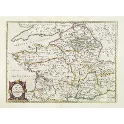
Ancienne Gavle. [de l'Europe]
A fine and uncommon early 17th century map of France.From the French text edition of "Description d'Univers", 1683. by Allain Manneson Mallet (1630-1706), a wel...
- $50 / ≈ €47
Place & Date: Paris, 1683
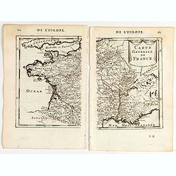
Carte generale de France.
A two-page map of France.Title in curtain draped at top. French text on verso.From the original 1683 text edition of "Description d'Univers. . ." by Allain Mane...
Place & Date: Paris, 1683
France en general. [de l'Europe / Figure LXVII] 147
A fine and uncommon early 17th century map of France.From the French text edition of "Description d'Univers", 1683. by Allain Manneson Mallet (1630-1706), a wel...
- $30 / ≈ €28
Place & Date: Paris, 1683
Carte generale de France. [de l'Europe]
A fine and uncommon early 17th century map of France printed from two copper plates. Engraved by Liébaux.From the French text edition of "Description d'Univers"...
- $80 / ≈ €75
Place & Date: Paris, 1683
Le Coste della Francia sul Mare Oceano.
Uncommon map from "Mercurio Geografico", published in Rome by G. de Rossi. A decorative title and scale cartouches enriching the map. The Italian cartographer C...
- $375 / ≈ €351
Place & Date: Rome, 1690
[Lot of 15 maps/plans of northern France] Gouvernement d' Orleans et la Generalite divisee en ses Elections.
Alexis-Hubert Jaillot (1632-1712), French cartographer. He joined the Sanson heirs and redrew Nicolas Sanson's maps on a larger scale. 'Atlas Nouveau' (1674), sea-atlas '...
- $500 / ≈ €468
Place & Date: Amsterdam, Paris, 1693
La France avec ses acquisitions jusqu'à l'année 1705.
An interesting small map of France by Nicolas de Fer. From his rare "Petit et Nouveau Atlas". The first edition was published in 1697 and was republished in 170...
- $75 / ≈ €70
Place & Date: Paris, 1705
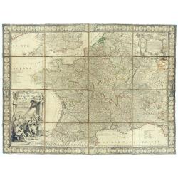
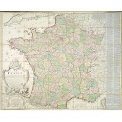
Le Royaume de France avec ses acquisitions ; Divisé en Provinces et en Gouvernemens etc. Dressé sur les Mémoires les plus Nouveaux et Dédié à Louis le Grand Roy de France et de Navarre / par son très Humble serviteur…
Impressive wall map of France decorated with a large figurative title cartouche, a dedication cartouche to the glory of the King of France Louis XIV, and plans of battles...
Place & Date: Paris, à présent rue St. Jacques au-dessus de la rue des Mathurins à l'enseigne de la Place des Victoires et du Lion d'Argent, c. 1715
Le Royaume de France avec ses acquisitions ; Divisé en Provinces et en Gouvernemens etc. Dressé sur les Mémoires les plus Nouveaux et Dédié à Louis le Grand Roy de France et de Navarre / par son très Humble serviteur…
Impressive wall map of France decorated with a large figurative title cartouche, a dedication cartouche to the glory of the King of France Louis XIV, and plans of battles...
- $2500 / ≈ €2339
Place & Date: Paris, à présent rue St. Jacques au-dessus de la rue des Mathurins à l'enseigne de la Place des Victoires et du Lion d'Argent, c. 1715
Le Royaume de France..
Lovely small map of France with decorative title cartouche and a panel in the upper right corner listing local rulers.From Le Nouveau et Curieux Atlas Geographique et His...
- $75 / ≈ €70
Place & Date: Paris, 1719
Carte du Gouvernement Ecclesiastique de France Divise en ses Archeveschez, Eveschez, Archidiaconnez, Archipretrez, Doyennez, et Parroisses.
This impressive plate provides a comprehensive list of the ecclesiastical divisions in the country with their corresponding coats of arms. A small inset map depicts the l...
- $55 / ≈ €51
Place & Date: Amsterdam, 1720
Nouvelle Carte des Differents Etats de la Monarchie Françoise Sous Iule Cesar, Sous les Rois de la Premiere, de la Seconde . . .
Four maps of France surrounded by historical and genealogical information to the history, chronology, ancient and modern genealogy of the french monarchy.Henri Abraham Ch...
- $75 / ≈ €70
Place & Date: Amsterdam, 1720
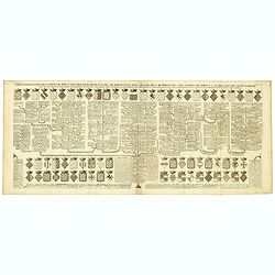
Carte genealogique des comtes de Dreux, des Seigneursde Beaussart . . .
Genealogical chart of the earls of Dreux, from Chatelain's monumental 7 volume "Atlas Historique". Henri Abraham Chatelain (1684 – 1743) was a Huguenot pastor...
- $50 / ≈ €47
Place & Date: Amsterdam, 1720
Carte Geographique du Royaume de France, avec des remarques curieuses sur l'ancienne, et la nouvelle geographie.
Map of France with a key table to the towns on both sides.Zacharie Chatelain (d.1723) was the father of Henri Abraham (1684-1743) and Zacharie Junior (1690-1754).They wor...
Place & Date: Amsterdam, ca. 1720
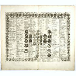
Carte genealogique des Rois de France avec l'Etat des Principaux Officiers de la Maison du Roy.
A genealogical tree of the French Kings with descriptive French text, from Chatelain's monumental 7 volume "Atlas Historique". Henri Abraham Chatelain (1684 –...
- $35 / ≈ €33
Place & Date: Amsterdam, 1728
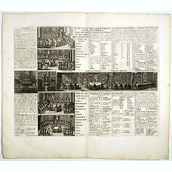
Carte du Gouvernement Civil de France.
This impressive engraving is a wonderful example of Chatelain’s elegant plates. It provides a detailed description of the infrastructure of the French government. Ornam...
- $75 / ≈ €70
Place & Date: Amsterdam, 1728
Le Roi Henri II blassé a mort representanté dans son lit.
Print showing King Henry II in his death bed. In June 1559 a tournament lasting several days was held in Paris to celebrate a peace treaty between France and Spain. King ...
- $100 / ≈ €94
Place & Date: Paris, 1729-1733
France.
Uncommon miniature map of France, engraved by J.Spilbury for "A New General and Universal Atlas Containing Forty five Maps by Andrew Dury".This miniature atlas ...
- $50 / ≈ €47
Place & Date: London, 1761-1763
La France Divisée en ses quarante gouvernemens . . .
Map of France surrounded by a decorative frame.
Place & Date: Paris, 1770
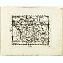
Francia divisa in provincie.
Rare map of France, from "Atlante Novissimo ad uso Dei Giovani Studiosi Contenuto In Carte XXVII.", published by Giovanni Zempel in Rome, ca. 1780.The map is ba...
- $50 / ≈ €47
Place & Date: Rome, 1780
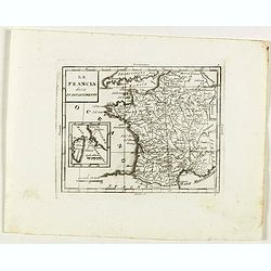
La Francia divisa in dipartimenti.
Rare map of South western France and inset with map of Corsica, from "Atlante Novissimo ad uso Dei Giovani Studiosi Contenuto In Carte XXVII.", published by Gio...
- $40 / ≈ €37
Place & Date: Rome, 1780
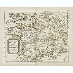
Gallia antiqua ex Aevi Romani monumentis eruta. . .
Historical map of France depicted in Roman times showing ancient divisions, prepared by Nolin and published by L.J. Mondhare for his Atlas Général a l'usage des college...
- $40 / ≈ €37
Place & Date: Paris, 1781
Le Royaume de France. . .
Decorative map of France with large title cartouche and a list of the "Provinces de France".Prepared by Le Sieur Janvier, Jean denis [Robert], a French geograph...
- $150 / ≈ €140
Place & Date: Venice, 1776 - 1784
La France divisée en 83 départemens suivant les décréts de l'Assemblée Nationale, sanctionnés per le Roi. . .
An interesting folding map of France divided in 83 departments, to the right the 83 departments added on past-on slips. Another past-on is advertising Desnos' atlas in la...
Place & Date: Paris, 1790
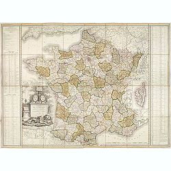
Carte de la France Divisée en 83 Départements et Subdivisée en districts avec les Chefs-lieux de Cantons Présentée à l'Assemblée Nationale et au Roi.
Spectacular folding wall map of France engraved by Barrier. Panels on both sides: "Tableau de la Division de la France d'après les décrets de l'Assemblée national...
Place & Date: Paris, Belleyme, 1791
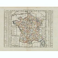
La France Divisée en IX Régions, 10 Métropoles, et 85 Départements ..
Scarce map of France prepared after J.B.Nolin and published by Mondhare for his Atlas Général a l'usage des colleges et maisons d'education.. Lower right inset map of C...
- $60 / ≈ €56
Place & Date: Paris, 1793
Karte von Frankreich.
An attractive oversized map of France. With a decorative title cartouche in the upper right-hand corner and a legend on the left side. Engraved by Ant.Amon.Franz Johann J...
Place & Date: Vienna, 1795
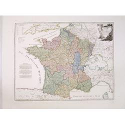
Carte du royaume de France divisé en 87 départemens / dressée par Brion de la Tour..., où sont tracées les nouvelles limites fixées par le traité de paix du 30 mai 1814. . .
Very decorative and uncommon map of France, with Corsica prepared by Brion de la Tour showing the new border set by the Peace Treaty of May 30, 1814. Engraved by Chaumier...
- $750 / ≈ €702
Place & Date: Paris, ca. 1814
Nouveau voyage pittoresque de la France Orné de trois cent soixante gravures exécutées sur des dessins fait d'après nature, et représentant des Vues des principales Villes de France, ...
Large paper copy, printed on quarto format (210x235mm.) on heavy paper. Illustrated with 360 engraved plates, many by Jean-Jerome Baugean. Without the large folding map....
- $2000 / ≈ €1871
Place & Date: Paris, 1817
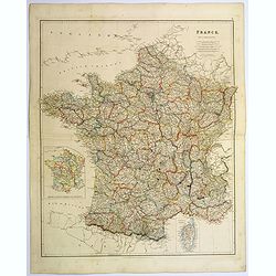
France.
A lovely, large steel engraved map of France, with an inset sketch of France divided into provinces, plus small inset map of the French Mediterranean island of Corsica . ...
Place & Date: London, 1839
Gaule.
Finely engraved map prepared by A.H.Dufour and engraved by Giraldon-Bovinet. Published by Jules Renouard in his uncommon atlas "Le globe Atlas classique Universel de...
- $20 / ≈ €19
Place & Date: Paris, Jules Renouard, ca.1840
France par Provinces.
Finely engraved map prepared by A.H.Dufour and engraved by Giraldon-Bovinet. Published by Jules Renouard in his uncommon atlas "Le globe Atlas classique Universel de...
- $30 / ≈ €28
Place & Date: Paris, Jules Renouard, ca.1840
La Gaule sous l'Empire Romain.
Detailed map of France, prepared by Charles V. Monin (fl.1830-1880) a French cartographer of Caen and Paris. Published in Atlas Universel de Géographie Ancienne &c M...
- $25 / ≈ €23
Place & Date: Paris, 1845
Karta öfver Frankrike.
An very rare map of France with Swedish text. This is an updated version of his map of 1819 and is now dated 1831.From his atlas "Geographisk Hand-Atlas" first ...
- $100 / ≈ €94
Place & Date: A. Wiborgs förlag, Stockholm, ca. 1848
Circscrizione delle province ecclesiastiche e diocesi in Francia (Tav LIII)
This large-format France and Corsica map is finely engraved and beautifully colored and was prepared by Girolamo Petri, a lawyer who served as a senior official within th...
- $600 / ≈ €561
Place & Date: Rome, 1858
Le plan Trochu.
Lithography showing a map of France with a caricature of General Trochu and other scenes imposed on it. Designed by the French caricaturist Evrard, Emile , with his initi...
- $750 / ≈ €702
Place & Date: Paris, 1871
Carte routière de France de Dion Bouton spéciale pour automobiles
Highly decorative folding wall map of France in a scale of 1 : 800 000. In the upper left hand corner an inset plan of Paris, upper right Algeria and lower right map of C...
- $1500 / ≈ €1404
Place & Date: Paris, J. Barreau, 1900
Carte nationale des routes de la France.
Map of the national roads in France, engraved and published by Regnier et Dourdet. Four inset maps of which three shows the three largest cities in France and one shows C...
- $300 / ≈ €281
Place & Date: Paris, ca. 1900

![Descriptio Gadium [France].](/uploads/cache/43237-250x250.jpg)

![[Lot of 17 maps] L' ISLE DE FRANCE Pariensis agri descriptio. Francois de la Hoeye fecit, Jean le Clerc excud.](/uploads/cache/19592-250x250.jpg)




![Ancienne Gavle. [de l'Europe]](/uploads/cache/38440-250x250.jpg)
![France en general. [de l'Europe / Figure LXVII] 147](/uploads/cache/38437-250x250.jpg)
![Carte generale de France. [de l'Europe]](/uploads/cache/38442-250x250.jpg)

![[Lot of 15 maps/plans of northern France] Gouvernement d' Orleans et la Generalite divisee en ses Elections.](/uploads/cache/19853-250x250.jpg)
