Search Listings matching "blaeu" in Europe > Eastern Europe
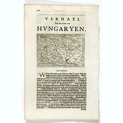
Hungaria.
Small map of Hungary, surrounded by text in Dutch. Nicolaes de Clerck (de Klerc) was active as engraver and publisher in Delft from 1599-1621.Included in the rare book : ...
- $100 / ≈ €94
Place & Date: Amsterdam, Cloppenburch, 1621
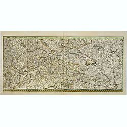
Tractus Danubii, Fluminis in Europa Maximi, A Fontibus, Per Germaniam. . .
This is Blaeu’s first map of the Danube and surrounding regions. The Danube River runs through the map from the top left with its headwaters in the German Black Forest ...
Place & Date: Amsterdam, 1634
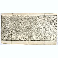
Tractus Danubii, Fluminis in Europa Maximi, A Fontibus, Per Germaniam. . .
This is Blaeu’s first map of the Danube and surrounding regions. The Danube River runs through the map from the top left with its headwaters in the German Black Forest ...
- $2000 / ≈ €1871
Place & Date: Amsterdam, 1634
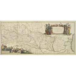
Danubius Fluvius Europae Maximus, a Fontibus ad Ostia..
Depicts the course of the Danube River, from its sources in the Alps to the Black Sea..Because of the dimensions the map was printed from two copper plates.With two very ...
Place & Date: Amsterdam, 1638
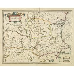
Walachia, Servia, Bulgaria, Romania.
Striking map of the region centered on the Lower Danube, Bulgaria, Romania, Serbia and Macedonia. Includes decorative cartouche, coat of arms, etc. Latin text on verso.Th...
Place & Date: Amsterdam, 1638
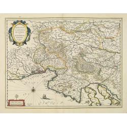
Karstia, Camiola, Histria et Windorum Marchia.
Including the Gulf of Trieste, Venice and the northern part of former Yugoslavia. Prepared by Gerard Mercator.As Willem Blaeu died in 1638 most of his maps are actually p...
Place & Date: Amsterdam, 1638
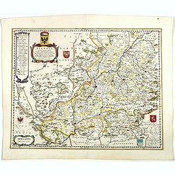
Silesia Inferior. . .
Decorative map prepared by Jonas Scultetus, a Silesian cartographer (1603-1664). More about Willem Blaeu. [+]
- $300 / ≈ €281
Place & Date: Amsterdam, 1644
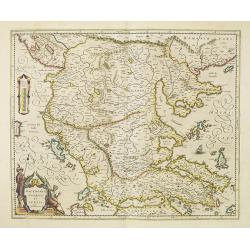
Macedonia, Epirus et Achaia.
Nice map of northern Greece with the southern parts of present day Macedonia and Albania. Includes the region of Athens. Strapwork title cartouche and Spanish text on ver...
Place & Date: Amsterdam, 1650
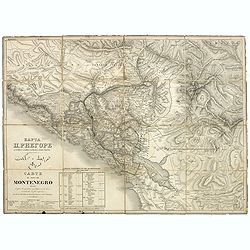
Carte du pays de Montenegro dressée d'après les opérations géodétiques . . .
Rare map of Montenegro prepared by Mr. le Comte Fedor de Karacsay (1787-1859) and engraved by Pietro Allodi. The title is in Russian, Arabic and French.In lower left corn...
- $1250 / ≈ €1170
Place & Date: Vienna, ca. 1838
