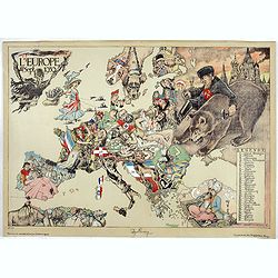
L'Europe en Sept 1939. Ille terrarum mihi angulus ridet.
A rare oversized serio-comic map of Europe at the start of the Second World War depicting stereotypes of 31 countries, as listed in the key lower right, including Brit...
$9000 / ≈ €8421
Place & Date: Bruges, Leon Burghgraeve, 1939
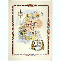
L'Europe Centrale et Orientale.
Pictorial tourism poster of central and eastern Europe, showing different life scenes relative to the culture's country.Learn more about pictorial maps. [+]
- $100 / ≈ €94
Place & Date: Paris, 1951

