Browse Listings in Europe > British Isles > General
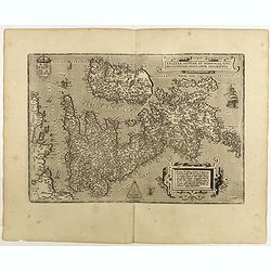
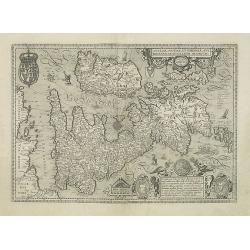
Angliae, scotiae, et Hiberniae, sive Britannicar:insularum.
Fine general map of the British Isles and Ireland on horizontal projection with north to right of page. Derived from Mercator's 1564 map of the British Isles.Dare to go i...
Place & Date: Anwerp, 1598
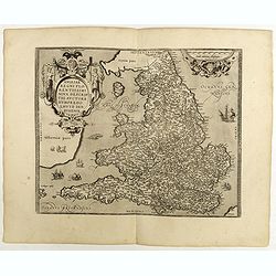
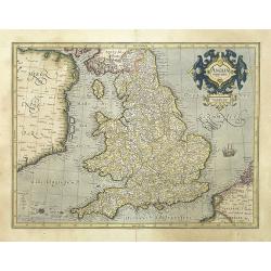
Angliae Regni florentissimi nova descriptio..
Fine general map of England derived from Mercator's 1564 map of the British Isles in 8 sheets.Dare to go in Black. All early maps were printed in black and white; many we...
Place & Date: Antwerp, 1598
Anglia.
Map of England, from the first French-text edition of Jodocus Hondius'' Atlas Minor.Shortly after the publication of the big folio-atlases the need was apparently felt fo...
- $150 / ≈ €140
Place & Date: Amsterdam, 1608
Angliae, Scotiae, et Hiberniae, sive Britannicar : Insularum descriptio.
A rare and ornate map with inset portraits of James First, Henry Prince of Wales Princess Anne of Denmark.Janssonius acquired the copperplate of van den Keere's 1604 Brit...
Place & Date: Amsterdam, 1621
Anglia regnum.
Counties are shown in outline and named. The coast of Ireland is shown across the Irish Sea.Mercator was born in Rupelmonde in Flanders and studied in Louvain under Gemma...
Place & Date: Amsterdam, 1630
Anglia Regnum.
Janssonius' map of England and Wales was one of the new maps prepared by him in 1636. His map closely copies the similar map issued two years earlier by Willem Blaeu.. Th...
Place & Date: Amsterdam, 1642
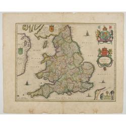
Anglia Regnum.
Willem Blaeu was the first publisher to bring out a new map of England and Wales. The outline and place names are taken from Speed with county boundaries marked but no bo...
- $500 / ≈ €468
Place & Date: Amsterdam, 1650
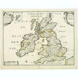
Carte Generale des Royaume d'Angleterre Escosse et Irlande Avecq les Isles circonvoisines Conues toutes soubs le nom de Britanniques / Nouvellement dressee et tiree de Cambdene Spede & autres Par N. Sanson geogr.e Ord.re du Roy
Fine map of the British Isles. The map was first published by Tavernier and later by Mariette. This edition carries the date 1640 and the address of Pierre Mariette: rue ...
- $350 / ≈ €328
Place & Date: Paris, 1640-1657
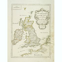
Carte des Isles Britanniques où sont les Royaumes d'Angleterre et d'Ecosse que nous appellons Grande Bretagne et celui d'Irlande avec les isles qui en sont proche . . .
General map of the British isles, with a fine title cartouche upper right with the date 1663 and the complete title reads : "Carte des Îles britanniques où se trou...
- $250 / ≈ €234
Place & Date: Paris, 1663
Angleterre Ecosse et Hibernie.
Rare map of the British islands, published by Jollain in 1667. Published in "Trésor Des Cartes Geographiques Des Principaux Estats de Lunivers".This atlas is b...
- $250 / ≈ €234
Place & Date: Paris, 1667
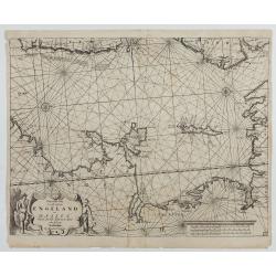
Pascaart van de west cust van Engeland en Wales Van S. Davids Point tot de Moul van Dalway.
Rare Doncker's sea chart of the Irish Sea with the west Coast of England (Liverpool), the Island of Man and the western-most tip of Northern Ireland (Bangor) and Souther...
Place & Date: Amsterdam, 1660-1668
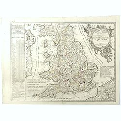
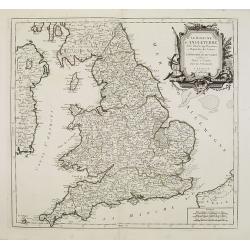
Le Royaume d'Angleterre.
An attractive map centered on England, Wales and the southern part of Scotland. The very decorative cartouche includes a dedication to Jacques II Roy d'Angleterre, d'Esco...
- $650 / ≈ €608
Place & Date: Paris, 1689
Le Royaume d'Angleterre distingué en ses provinces.
Fine map of England and Wales that is fully and richly engraved. Large and extremely decorative cartouche with angels, flags, seal of England, etc. Six distance scales wi...
Place & Date: Amsterdam, 1693
Camden's Britannia, Newly Translated into English with Large Additions and Improvements.
Splendid copy fully original colored (inclusive title-cartouche) of the first edition of Gibson's translation.Illustrated with an engraved portrait of Camden by R. White,...
Place & Date: London, F. Collins for A. Swalle and A. / J. Churchill, 1695
Parte settentrionale del regno d'inghilterra. . ./ Parte meridioçnale des regno d'inghilterra. . .
A beautiful and flamboyantly engraved two sheet map of British Isles, including four large cartouches and table of counties, towns, etc. Shows towns, mountains, rivers, l...
- $500 / ≈ €468
Place & Date: Venice, 1698
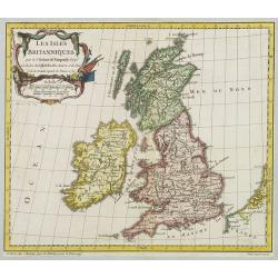
Les Isles Britanniques ou sont les Royaumes . . .
An interesting small map of the British islands by Nicolas de Fer. From his rare "Petit et Nouveau Atlas". The first edition was published in 1697 and was repub...
- $75 / ≈ €70
Place & Date: Paris, 1705
Représentation du parlement d'Angleterre, les chambres assemblées . . .
Engraving showing the British Parliament and an assembly before the King of England. From Chatelain's Atlas Historique, 1732-1739. In upper right margin: 'Tom. 7. No 26.H...
- $80 / ≈ €75
Place & Date: Amsterdam, 1720
Carte Pour l'Introduction a l'Histoire d'Angleterre, ou l'on Voit son Premier Gouvernement, et l'Etat Abrege de cette Monarchie sous les Empereurs Romains, et sous les Rois Saxons.
The sheet includes a large inset map of Roman Britain including the English Channel and the western coast of France (200 x 255mm.). It also provides a wealth of informati...
- $200 / ≈ €187
Place & Date: Amsterdam, 1720
Carte du gouvernement militaire d'Angleterre où l'on représente l'état des officiers de guerre et celui des forces de terre et de mer.
Interesting sheet with a decorative map on the British Isles, with idyllic scenes showing councils of the various military officers of the British Isles, with descriptive...
Place & Date: Amsterdam, 1720
Nouvelle carte d'Angleterre, d'Ecosse et d'Irlande, avec des instructions ..
Striking large folding map of the British Isles, with large insets of the Eastern and Western Hemispheres and the coats of arms for England, Ireland, Scotland and Wales. ...
- $200 / ≈ €187
Place & Date: Amsterdam, 1721
Magnae Britanniae pars meridionalis in qua regnum Angliae. . .
Johann Baptist Homann's well-engraved map has a large decorative cartouche at top right and a large scene at bottom center showing a throned ruler, presumably George I, h...
Place & Date: Nuremberg, 1740
Regni Angliae et Wallae principatus Tabula, divisa in LII Regiones. . .
A detailed and decorative map of England, with an attractive uncolored title cartouche. The map is a re-issue of Carolus Allard's map. The elaborate title cartouche in th...
- $400 / ≈ €374
Place & Date: Amsterdam c. 1744
Le royaume d'Angleterre..
Fine map of England and Wales. As well as country details, including the main post roads. Le Rouge was active from 1740- till 1780 as a publisher, and was appointed engin...
- $250 / ≈ €234
Place & Date: Paris, 1745
Itinera Varia Auctoris.
From A Natural History of Uncommon Birds, and of some other rare and undescribed Animals, Quadrupeds, Reptiles, fishes, insects, &c.. The map shows Edwards' journeys ...
- $300 / ≈ €281
Place & Date: London, 1746
L'Angleterre.
Fine map of England and Wales. George Louis Le Rouge was active from 1740- till 1780 as a publisher, and was appointed engineer for the King of France. From his Atlas Nou...
Place & Date: Paris 1756
Les Isles Britanniques..
A first state (of 2) dated 1762. Fine map of the British Isles, engraved by E.Dussy. Fine title cartouche upper left engraved by Arrivet. From his Nouvel Atlas Portatif .
Place & Date: Paris, 1762
La Gran Bretagna ed isole Britanniche.
Rare map of Great Britain with Ireland, from "Atlante Novissimo ad uso Dei Giovani Studiosi Contenuto In Carte XXVII.", published by Giovanni Zempel in Rome, ca...
- $75 / ≈ €70
Place & Date: Rome, 1780
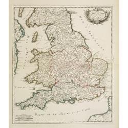
Carte du Royaume d'Angleterre. . .
Scarce map of England prepared by Nolin and published by L.J. Mondhare for his Atlas Général a l'usage des colleges et maisons d'education.Louis Joseph Mondhare was act...
- $100 / ≈ €94
Place & Date: Paris, 1783
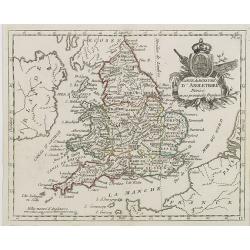
Carte Du Royame D'Angleterre..
Attractive map of England, ornated with a rococo title cartouche. Boundaries outlined in hand color.From theAtlas moderne ou collection de cartes sur toutes les parties d...
- $250 / ≈ €234
Place & Date: Paris, ca 1783
Le royaume d'Angleterre..subdivisé en Shires ou Comtés.
Finely and crisply engraved map of British Isles including the coasts of France and Ireland.Venetian edition of Giles Didier Robert De Vaugondy's map from Atlas Universel...
Place & Date: Venice, 1778 - 1784
Les Isles Britanniques. . .
Detailed map encompassing present day British Isles.Venetian edition of the map by Bellin, to whom Santini gives credit in the cartouche.From "Atlas Universel" ...
Place & Date: Venice, 1776 - 1784
Les Isles Britanniques Comprenant les Royaumes D'Angleterre, D'Ecosse et D'Irlande divisée en grands provinces. . .
Detailed map encompassing present day British Isles. An inset in the upper right details the Shetland and Orkney Islands. Venetian edition of the map by Janvier, to whom ...
- $200 / ≈ €187
Place & Date: Venice, 1776 - 1784
Les Isles Britanniques..
An attractive map of the British Isles including an inset of the Orkney and Shetland Islands. Finely embellished with a large title cartouche.The map is flanked by two co...
- $90 / ≈ €84
Place & Date: Paris, 1790
L'Angleterre divisée en 5 grandes Parties. . .
A very attractive map of England and Wales showing its 52 counties and the major cities as well as five large regional divisions.Finely embellished with a large title car...
- $100 / ≈ €94
Place & Date: Paris, 1790
Les Isles Britanniques ou sont le Rme. D'Angleterre . . . Par G. De L'Isle. . . A Paris Chez Dezauche. . .
Uncommon late edition, (dated An 8, 1800 ) of this map of the British Isles prepared by DeL'Isle and published during the French Revolution by Dezauche / Buache. The bott...
Place & Date: Paris, 1800
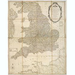
Bowles's new four-sheet map of England and Wales. . .
Bowles's new four-sheet map of England and Wales: Comprehending all the Cities, Boroughs, Market and Sea-Port Towns, Villages, Lakes, Rivers, Forests, Ruins, Canals, and ...
Place & Date: London, 1801
Les Isles Britanniques.
Map of British Isles. By C. F. Delamarche, successor of Robert de Vaugondy, Geographer.
- $80 / ≈ €75
Place & Date: Paris, 1794 - 1806
Carte du Royaume d' Angleterre . . .
Map of England and its counties, from Atlas moderne portatif composé de vingt-huit cartes sur toutes les parties du globe terrestre .. A l'usage des Colléges, des Pensi...
Place & Date: Paris, Prudhomme, Levrault, Debray, 1806
Grossbritanien und Irland.
Nice small map of the British isles and Ireland by Johannes Walch in his rare Allgemeiner Atlas Nach den bewährsten Hülfsmitteln und astronomischen Ortsbestimungen…, ...
- $50 / ≈ €47
Place & Date: Augsburg, 1812
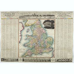
Langley's New Travelling and Commercial Map . . .
A highly desirable, detailed and uncommon map of England and Wales, published by Langley and Belch. The map is flanked by a pair of large and detailed explanation tables,...
Place & Date: London, 1817
Europe. Partie de l'Angleterre. N°7.
Detailed map including Northern part of England.From his famous Atlas Universel . This atlas was one of the most remarkable world atlases ever produced, anticipating the ...
- $100 / ≈ €94
Place & Date: Brussels, 1825-1827
The Inland Navigation, Rail Roads, Geology and Minerals of England & Wales.
A beautifully color-coded and robustly labelled map describes the geology of England and Wales. The colors indicate particular rock materials in accordance with a key at ...
Place & Date: London, 1834
England.
A large and detailed steel engraved map of England, with each county divided by a different color. Many place names and physical features shown - it shows how densely pop...
Place & Date: London, 1839
Iles Britanniques.
Detailed British Islands map, prepared by Charles V. Monin (fl.1830-1880) a French cartographer of Caen and Paris. Published in Atlas Universel de Géographie Ancienne &a...
- $25 / ≈ €23
Place & Date: Paris, 1845
Provincia ecclesiastica di Westminster Londra in Inghilterra (Tav LXXXIV)
A large-format map of the British Isles with its different dioceses. The map is finely engraved and beautifully colored and was prepared by Girolamo Petri, a lawyer who s...
- $300 / ≈ €281
Place & Date: Rome, 1858
Le Vie Ferrate e Postali dell' Inchilterra . . .
Uncommon map of England and part of France prepared by Francesco Costantino Marmocchi. Above the map "Geografia Commerciale". From "Il Globo Atlante di car...
- $25 / ≈ €23
Place & Date: Genova, Paolo Rivara fu Giacomo, 1858
Circoscrizione delle Province ecclesiastiche e Diocesi d'Inghilterra Irlanda e dei Vicariati in scozia (Tav LXXXIII)
This large-format British Isles map is finely engraved and beautifully colored and was prepared by Girolamo Petri, a lawyer who served as a senior official within the Vat...
- $250 / ≈ €234
Place & Date: Rome, 1858
Britain's Empire on the Sea. Dedicated to Captain the Right Honourable Lord Charles Beresford...
A very decorative and large chromolithographed plate showing all the effective strength of the British navy with the name and class of each ship shown beneath, except for...
- $750 / ≈ €702
Place & Date: Portsea, ca. 1897
The Royal Naval review at Spithead, June 26th, 1897. In Honour of Her Majesty Queen Victoria's Diamond Jubilee.
A very decorative and large chromolithographed plate showing a line up of international vessels at Spithead, June 26th, 1897 In Honour of her Majesty Queen Victoria'a Dia...
- $750 / ≈ €702
Place & Date: Portsea, ca. 1897
[The United Kingdom - Sweden, Norway, Denmark].
Alexey Afinogenovich Ilyin was a lieutenant general and cartographer (1832-1889). In 1856, after graduating from the Academy of the General Staff, he was at the military ...
- $50 / ≈ €47
Place & Date: St. Petersburg, 1899
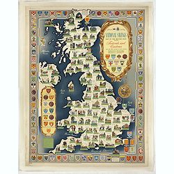
National saving map og the British Isles . . .
A brilliantly eccentric poster showing the festivals, customs of the British Isles with the arms and seals of the counties.Founded in 1861, National Savings is a state-ow...
- $450 / ≈ €421
Place & Date: London, 1951
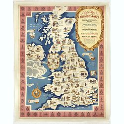
A map of the British Army with battle honours and militray achievements and Regimental Badges . . .
Shows English County Regiments, Battle Honours and Military Achievements. Bordered by Regimental Badges.A fascinating piece of British history.Read more about Pictorial M...
Place & Date: London, 1952















![[The United Kingdom - Sweden, Norway, Denmark].](/uploads/cache/46169-250x250.jpg)
