Browse Listings in Europe > Belgium > Belgium Cities
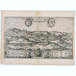
Lympurch. (Limburg)
Very desirable and early town-plan of the city of Limburg in Belgium with its fortifications at the end of the 16th century.From volume one of the greatest publication in...
- $250 / ≈ €234
Place & Date: Cologne, 1575
Leodium. (Luik or Liège)
Very desirable and early town-view of Liège, which shows the city with the Meuse flowing in its favorable location amongst gentle hills, sturdy trees and fertile fields....
- $300 / ≈ €281
Place & Date: Cologne, (1572) 1577
Anverpia, nobile in Barbantia oppidum, parrim maritimum . . . [Antwerp]
The bird's-eye plan provides an excellent view of the citadel, city, docks and fortifications. The city was defended by a line of fortification and a moat constructed und...
Place & Date: Cologne, 1585
Wie ist das gluck so gar ungleich . . . Plate 18.
Early print showing a hanging in Brabant on 11 February 1620.Plate from the series about the " Eighty Years' War" or the independence war of Holland against Spa...
- $80 / ≈ €75
Place & Date: Cologne, ca. 1590
Domus Hansae Teutonicae / Sacri Romani Imperii. (Antwerp townhall)
From Ludovico Guicciardini.'s description of the Netherlands "Beschrijvinghe van alle de Nederlanden anderssins ghenoemt Neder-Duytslandt", published by Willem ...
- $100 / ≈ €94
Place & Date: Amsterdam, 1612
Marchionatus Sacri Romani Imperii.
Plan of the city of Antwerp in Belgium, by Claes Janszoon Visscher and first published by his son. The map is surrounded by 3 city views and 10 building vignettes and inc...
- $1750 / ≈ €1638
Place & Date: Amsterdam 1624
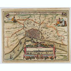
Marchionatus Sacri Romani Imperii.
A wonderfully decorative map showing in the middle of the image a town plan from Antwerp and in the lower part an inset with a panoramic view of the city and harbour of A...
Place & Date: Amsterdam, 1617- 1624
Scaldis Antverpia - Locorum Insignium ac viae triumphalis qua ser.mus princeps, Ferdinandus Austriacus, Hispaniar, Infans. etc. Antverpiam est ingressus, designatio . . .
Bird's-eye view of the city of Antwerp and the River Schelde, numbered (1-59 ) with important sites along the entry of the Cardinal Infant Ferdinand of Austria into Antwe...
- $2000 / ≈ €1871
Place & Date: Antwerp, 1635-1641
Antverpia, Gallis Anvers. Vernacule Antwerpen.
Detailed plan of the city of Antwerp with extensive key to principal buildings. Lower left title cartouche with two coats of arms and Mercurius.
Place & Date: Amsterdam, 1649
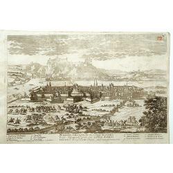
Charleroy place forte du Comte de Namur. . .
A very decorative and extremely rare town-view of Charleroi. Engraved by Pierre-Alexandre Aveline. With "Fait par Aveline avec privilege du Roy" in lower right ...
- $150 / ≈ €140
Place & Date: Paris, ca.1692
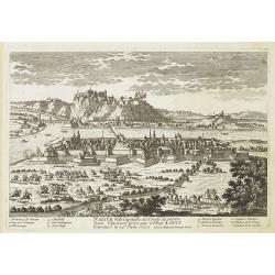
Namur Ville Capitale du Comté de même nom. Elle a este prise par le Roy LOUIS le Grand le 29e Juin 1692.
A very decorative and extremely rare town-view >of Namur, including a numbered key (1-12) in lower part. Engraved by Pierre-Alexandre Aveline. With "fait par Avel...
- $150 / ≈ €140
Place & Date: Paris, ca.1692
Furnes Ville du comté de Flandre à la France.
A very decorative and extremely raretown-viewof Veurne, including a numbered key (1-10) in lower part. Engraved by Pierre-Alexandre Aveline. With "fait par Aveline a...
- $220 / ≈ €206
Place & Date: Paris, ca.1692
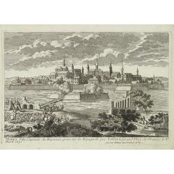
Mons ville capitale du Heynaut, prise sur les Espagnols par Louis le Grand Roy de France. . .
A very decorative and extremely raretown-viewof Mons. Engraved by Pierre-Alexandre Aveline. With "fait par Aveline avec privilege du Roy" in lower right margin....
- $150 / ≈ €140
Place & Date: Paris, ca.1692
Plan De l'Action.. Auprès de Wynendale le 28 Sept. 1708.
Rare broadside sheet representing a conventional battle plan near the town of Torhout with the Castle Wynendale. The plan depicts the situation of 28 september 1708. Incl...
Place & Date: Bruxelles, c.1708
Namur.
A very RARE panoramic of the city of Namur, with a numbered legend in both lower corners.The plate is numbered in red pencil in upper right corner.Engraved by Pierre Avel...
- $150 / ≈ €140
Place & Date: Paris, 1690-1720
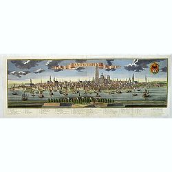
Antwerpen.
Panoramic town-view of Antwerp. With a numbered key (1-44) in lower part. Text in German.
- $2500 / ≈ €2339
Place & Date: Augsbourg, 1729
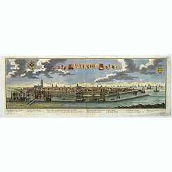
Ostende in Flandern.
Panoramic of Oostende. With a numbered key (1-11) in lower part. Text in German.Learn about the Ostend Trading Company or ‘Generale Keijserlijche Indische compagnie�...
- $2500 / ≈ €2339
Place & Date: Augsbourg, 1729
Plan of the Investiture of Ostend Surrenderd, 6 July, 1706
An interesting copper engraved plan of the Fortification of Doway in Flanders, with an attractive rococo cartouche, showing an overview of the battlefield and surrounding...
Place & Date: London, 1743
Plan of ye Battle of Wynendale between ye Troops of ye Allies commanded by Major Gen. Webb & those of France under Count de La Motte Sept. 28 1708.
An interesting copper engraved battle plan of Pinedale during the War of the Spanish Succession, showing the position of General Webb's troops in order to protect an alli...
Place & Date: London, 1743
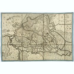
Plan de la ville de Gand. Paris, Sr. Le Rouge, 1745.
Town-plan of Ghent with its citadel, published in 1745, the year when the city was taken by the French during the War of Austrian Succession. The north is located to the ...
- $380 / ≈ €356
Place & Date: Paris, 1745
Plan de Mons ville capitale du comté de Haynaut. [MONS]
Charming little plan of the city of Mons in Belgium, engraved by Inselin, with a lettered key (A-V) in lower right corner.
Place & Date: Paris, 1750
La ville et citadelle d'Anvers. [Antwerp]
A town-plan of the fortified enclosure of Antwerp with its citadel, showing the extensions made between 1201 and 1701, when the fortifications were enlarged by Philippe V...
- $225 / ≈ €211
Place & Date: Paris, ca. 1750
[OSTENDE] A new and exact Plan of the city and port of Ostend.
Nice plan of the city of Ostend and Fort Philippe, engraved by R. Benning. In upper left corner "A map of part of Flanders shewing the country and sands about Ostend...
- $300 / ≈ €281
Place & Date: Paris, ca. 1750
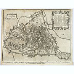
Ghent a large City and Castle in Flanders. . .
A very fine bird's-eye plan of the city and fortifications of Ghent and the surrounding countryside in Belgium. A decorative cartouche encloses a detailed key to the map ...
- $100 / ≈ €94
Place & Date: London, ca 1750
Charleroy place forte du Comte de Namur pres de la Riviere de Sambre. . .
A very decorative and extremely rare town-view of Charleroi. Engraved by Pierre-Alexandre Aveline. With "fait par Aveline avec privilege du Roy" in lower margin...
- $150 / ≈ €140
Place & Date: Paris, ca.1792
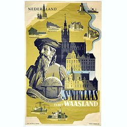
Sint Niklaas en het Waasland Gerardus Mercator Museum.
Poster showing a portrait of Gerard Mercator, set behind a globe and the town hall of St. Niklaas. Showing a map of the region containing pictorial vignets of Overmere, K...
- $500 / ≈ €468
Place & Date: Brussels, 1951

![Anverpia, nobile in Barbantia oppidum, parrim maritimum . . . [Antwerp]](/uploads/cache/26518-250x250.jpg)








![Plan de Mons ville capitale du comté de Haynaut. [MONS]](/uploads/cache/39799-250x250.jpg)
![La ville et citadelle d'Anvers. [Antwerp]](/uploads/cache/39843-250x250.jpg)
![[OSTENDE] A new and exact Plan of the city and port of Ostend.](/uploads/cache/39849-250x250.jpg)
