Browse Listings in Europe
La Boucherie de Haarlem.
Uncommon and decorative lithography of "het slachthuis" in Haarlem, published by Carl Johan Billmark and printed by Lemercier in Paris, 55 rue de Seine, the lea...
- $50 / ≈ €47
Place & Date: Paris, c.1859
Kronborg et le Sund (Danemarck).
Uncommon and decorative lithography published by Carl Johan Billmark and printed by Lemercier in Paris, 55 rue de Seine, the leading firm in Europe at that time. From: It...
- $75 / ≈ €70
Place & Date: Paris, c.1859
Château de Stegeborg (Suède).
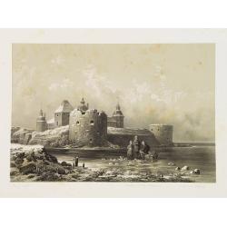
Uncommon and decorative lithography published by Carl Johan Billmark and printed by Lemercier in Paris, 55 rue de Seine, the leading firm in Europe at that time. From: It...
- $100 / ≈ €94
Place & Date: Paris, c.1859
Bonheur de la Grand-mère.
Uncommon and decorative lithography published by Carl Johan Billmark and printed by Lemercier in Paris, 55 rue de Seine, the leading firm in Europe at that time. From: It...
- $40 / ≈ €37
Place & Date: Paris, c.1859
Château de Calmar (Suède).
Uncommon and decorative lithography published by Carl Johan Billmark and printed by Lemercier in Paris, 55 rue de Seine, the leading firm in Europe at that time. From: It...
- $125 / ≈ €117
Place & Date: Paris, c.1859
Maison de Chasse de Charles XI (Suède).
Uncommon and decorative lithography published by Carl Johan Billmark and printed by Lemercier in Paris, 55 rue de Seine, the leading firm in Europe at that time. From: It...
- $75 / ≈ €70
Place & Date: Paris, c.1859
Kronburg - Tyrol, Vallée de l'Inn.
Uncommon and decorative lithography published by Carl Johan Billmark and printed by Lemercier in Paris, 55 rue de Seine, the leading firm in Europe at that time. From: It...
- $50 / ≈ €47
Place & Date: Paris, c.1859
Les Trois Temples de Pestum. Royaume de Naples.
Uncommon and decorative lithography of the Temples of Paestum near Naples. Published by Carl Johan Billmark and printed by Lemercier in Paris, 55 rue de Seine, the leadin...
Place & Date: Paris, c.1859
Lac de Nemi (environs de Rome).
Uncommon and picturesque lithography of Lake Nemi, a small circular volcanic lake in the Lazio region, 30 kilometers south of Rome. Published by Carl Johan Billmark and p...
Place & Date: Paris, c.1859
Rome. Vue prise du Mont Palatin.
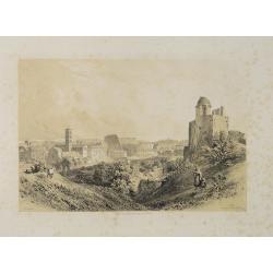
Uncommon and picturesque lithography of Rome. View from Mount Palatin. Published by Carl Johan Billmark and printed by Lemercier in Paris, 55 rue de Seine, the leading fi...
Place & Date: Paris, c.1859
S. Maria della Spina (à Pise).
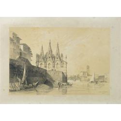
Uncommon lithography of the Church of S. Maria della Spina in Pisa. Published by Carl Johan Billmark and printed by Lemercier in Paris, 55 rue de Seine, the leading firm ...
Place & Date: Paris, c.1859
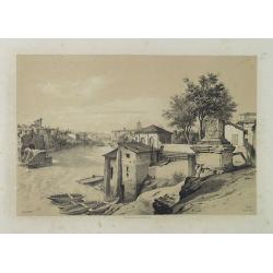
Rome (Ponte Rotto).
Uncommon and picturesque lithography of Rome with a view of the Rotto Bridge. Published by Carl Johan Billmark and printed by Lemercier in Paris, 55 rue de Seine, the lea...
Place & Date: Paris, c.1859
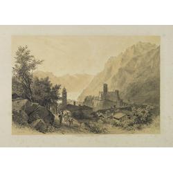
Lac de Garda Vue prise à Teno.
Uncommon and picturesque view of the Garda lake from the town of Teno. Published by Carl Johan Billmark and printed by Lemercier in Paris, 55 rue de Seine, the leading fi...
Place & Date: Paris, c.1859
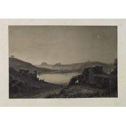
Lac d'Averne (Roye. De Naples).
Uncommon and picturesque lithography of the Lake Avernus (Lago d'Averno). It was believed to be the entrance to the underworld, and is portrayed as such in the Aeneid of ...
Place & Date: Paris, c.1859
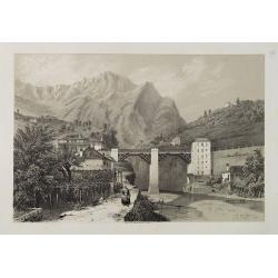
Pont du Crevola au pied de Simplon (Italie).
Uncommon and picturesque lithography of the Crevola Bridge at the foot of the Simplon Mountain in Italy. Published by Carl Johan Billmark and printed by Lemercier in Pari...
Place & Date: Paris, ca.1859
Savona Golfe de Gênes.
Uncommon and picturesque view of Sanova in the northern Italian region of Liguria in the Riviera di Ponente on the Mediterranean Sea. Published by Carl Johan Billmark and...
Place & Date: Paris, ca.1859
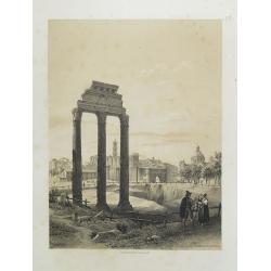
Rome. Les Trois colonnes de Grecostatis, et le Forum Romanum.
Uncommon and picturesque lithography of the Forum Romanum in Rome. On foreground the remains of the Temple of Castor and Pollux.Published by Carl Johan Billmark and print...
Place & Date: Paris, c.1859
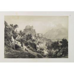
Subiaco. Environs de Rome.
Uncommon and picturesque view of Subiaco in the Province of Rome, in Lazio. Subiaco is famous as it was the first city in Italy where books were printed, in the 15th cent...
Place & Date: Paris, ca.1859
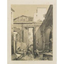
Portique d'Octavie à Rome.
Uncommon and decorative lithography of the Porticus Octaviae (portico of Octavia) in Rome. Published by Carl Johan Billmark and printed by Lemercier in Paris, 55 rue de S...
Place & Date: Paris, c.1859
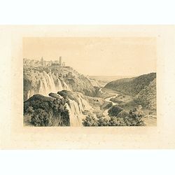
Cascatelles à Tivoli.
Uncommon and decorative lithography of the waterfalls near Tivoli.Published by Carl Johan Billmark and printed by Lemercier in Paris, 55 rue de Seine, the leading firm in...
- $100 / ≈ €94
Place & Date: Paris, c.1859
Provincia ecclesiastica di Corfu nell isole Jonie. Tav. XCV.
A large-format map centered on Corfu with it's dioceses. The map is finely engraved and beautifully colored and was prepared by Girolamo Petri, a lawyer who served as a s...
- $450 / ≈ €421
Place & Date: Rome, Tipografia della Reverenda Camera Apostolica, 1858-1859
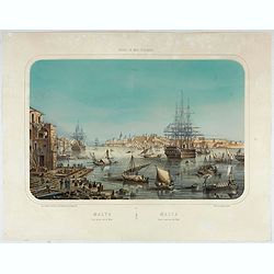
Malte Vue prise de la Mer. - Malta Vista lomada del mar.
Very decorative view of the Grand Harbour of Malta by Louis Lebreton, published in "Ports de Mer d’Europe" in 1859 by L. Turgis in Paris.This lithography show...
Place & Date: Paris, Turgis, 1859
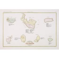
Gruppo delle Isole di Malta.
Uncommon map of Malta and Gozzo, published in "Atlante Geografico dell Italia".
- $250 / ≈ €234
Place & Date: Rome, 1860
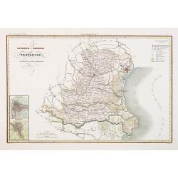
Governo di Venezia / Provincie di Padova e di Rovigo.
Very finely engraved and detailed map of the government of Venice. Lower left corner, two inset plans of Padova and Rovigo. Upper right corner, a key. Engraved by Vettori...
- $300 / ≈ €281
Place & Date: Rome, 1860
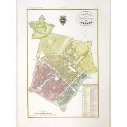
Pianta della citta di Modena.
Very finely engraved and detailed plan of Modena. Coat of arms of the town centred on the upper part. Engraved by V.Angeli and included in: Atlante Geografico dell Italia...
- $150 / ≈ €140
Place & Date: Rome, 1860
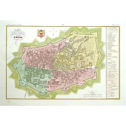
Pianta della citta di Lucca.
Very finely engraved and detailed plan of Lucca. Coat of arms of the town on the upper part. Engraved by V.Angeli and included in: Atlante Geografico dell Italia .To the ...
- $400 / ≈ €374
Place & Date: Rome, 1860
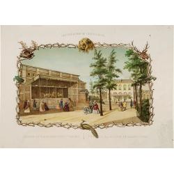
Rotterdamse Diergaarde. . .
Decorative view of Zoo of Rotterdam. To the right the house of the manager of the zoo. Decorated with personages in typical dress watching lions.
Place & Date: Amsterdam, 1860
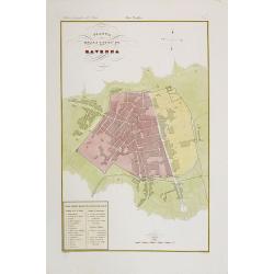
Pianta della citta di Ravenna.
Very finely engraved and detailed plan of Ravenna. Engraved by V.Angeli and included in: Atlante Geografico dell Italia. To the lower left a key to the principal building...
- $200 / ≈ €187
Place & Date: Rome, 1860
Palais Impérial de Petrowski. Environs de Moscou. N° 17.
Decorative view of the Imperial Palace of Petrowski. After a design by Vander Burch. Printed by L.Turgis active in Paris and New York. Turgis is best known for his series...
- $200 / ≈ €187
Place & Date: Paris, ca. 1850-1860
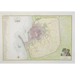
Pianta della citta di Livorno.
Very finely engraved and detailed plan of Livorno. Engraved by V.Angeli and included in: Atlante Geografico dell Italia . To the left, a key to the principal buildings a...
- $150 / ≈ €140
Place & Date: Rome, 1860
IV Compartimento Aretoni. . .
Very finely engraved and detailed map centered on Arezzo and Lago Trasimeno. Lower part three inset plans of Cortona, Arezzo and Chiusi. In upper corners plans of Montepu...
- $200 / ≈ €187
Place & Date: Rome, 1860
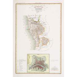
Divisione militaire di Novara. Provincie di Valsesia e di Vercelli.
Very finely engraved and detailed map centered on Vercelli and Varalio. Lower part two inset plans of Vercelli and Varallo and sacro Monte. Engraved by Pietro Manzoni and...
- $200 / ≈ €187
Place & Date: Rome, 1860
Governo di Venezia / Provincia di Udine.
Very finely engraved and detailed map of the area of Udine, with Trieste in lower right corner. Lower left corner an inset plan of Trieste : upper right corner, an inset ...
- $300 / ≈ €281
Place & Date: Rome, 1860
Compartimento Fiorentino. (Florence)
Very finely engraved and detailed map of the province of Firenze (Florence) Upper and lower part of the map, three inset plans of Namminiato, Modigliani and Volterra, Pis...
- $250 / ≈ €234
Place & Date: Rome, 1860
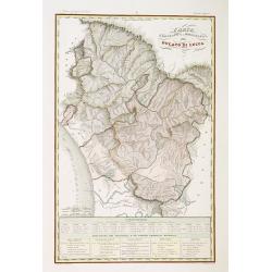
Ducato di Lucca.
Very finely engraved and detailed map of the region around Lucca. Lower part of the map, two inset lists of the mountains height and the local minerals. Engraved by Vetto...
- $200 / ≈ €187
Place & Date: Rome, 1860
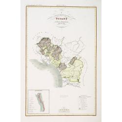
Compartimento Pisano.
Very finely engraved and detailed map of the territory of Pisa, including the region of Lucca and Estense. Lower left corner, an inset plan of Pontremoli. Lower right cor...
- $200 / ≈ €187
Place & Date: Rome, 1860
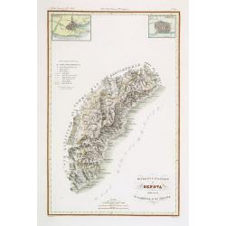
Divisione Militare di Genova. Albenga / Savona.
Very finely engraved and detailed map covering the Mediterranean coast from Oneglia, Albenga, Noli until Savona. Upper corners, two inset plans of Savona and Albenga. Key...
- $150 / ≈ €140
Place & Date: Rome, 1860
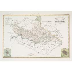
Governo di Milano / Provincia di Mantova e Cremona.
Very finely engraved and detailed map centered on Mantua, including Cremona. Lower corners two inset plans of Mantua and Cremona. Upper left corner, a key. Engraved by Ve...
- $150 / ≈ €140
Place & Date: Rome, 1860
Compartimento Pisano.
Very finely engraved and detailed map centered on Pisa, including Livorno. Centered on the lower part, an inset plan of Pisa. Lower left corner, a key. Engraved by Vetto...
- $200 / ≈ €187
Place & Date: Rome, 1860
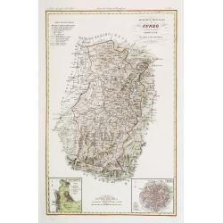
Divisione Militare di Cuneo. Mondovi / Alba.
Very finely engraved and detailed map of Cuneo, centered on the towns of Mondovi and Alba. Lower corners, two inset plans of Mondovi and Alba. Upper right corner, a key. ...
- $200 / ≈ €187
Place & Date: Rome, 1860
Souvenirs des Pyrénées. Vues prises aux environs des eaux thermales de Bagnères-de-Bigorre, Bagnères-de-Luchon, Cauteretz, Saint-Sauveur, Barèges, Les-eaux-Bonnes, Les-Eaux-Chaudes & Pau.
The thermal baths Bagnères de Bigorre, Bagnères de Luchon, Cauteretz, Saint-Sauveur, Barèges, Les Eaux-Bonnes and Pau in the Pyrenees. Beautiful collection of 24 litho...
Place & Date: Pau, A.Basset, ca. 1860
Topografia di Alcune Antiche Citta Etrusche.
Very finely engraved and detailed map of several Etruscan cities. Engraved by Vettorio Angeliand included in: Atlante Geografico dell Italia .
Place & Date: Rome, 1860
L'escadre alliée bombarde les forts extérieurs de Sébastopol. (18 octobre 1854)
Beautiful Crimean War lithography by Becquet after a painting by Louis Le Breton. The print illustrates the ships "Fort Constantin", "la ville de Paris&quo...
Place & Date: Paris, 1860
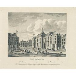
ROTTERDAM De beurs - La Bourse.
Decorative view of the exchange of Rotterdam. Printed by the master printer François Buffa of Amsterdam.
- $75 / ≈ €70
Place & Date: Amsterdam, 1860
ROTTERDAM Gezigt op de Societeit in het nieuwe. . .
Decorative view of the society of Rotterdam. Decorated with personages in typical dress watching a concert.
- $75 / ≈ €70
Place & Date: Amsterdam, 1860
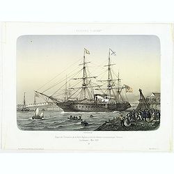
AFFAIRES D'ORIENT Départ des Grenadiers de la Garde Anglaise, à bord du Steamer transatlantique l'Orenoco. . .
Beautiful lithography of the British steamboat "l'Orenoco" departure from Southampton in May 1854, with soldiers leaving for the Crimean War. After a design Lou...
Place & Date: Paris, Lemercier, c.1860
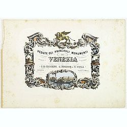
(Title page) Vedute dei principali monumenti di Venezia.
Decorative title page with in the lower part small inset view of Doge Palace, St. Marco and a gondola.
Place & Date: Venice, 1860
[Title page] Album delle principali vedute di Venezia disegnate da Marco Moro. . .
Title page with a virgin and the lion of saint Mark sitting on an island with in the background the town of Venice.
- $65 / ≈ €61
Place & Date: Venice, G. Brizeghel, ca 1860
Race Finnoise. Paysans du gouvernement d'Olonetz districts de Petrozavodsk et de Vytiagorsk.
Lithography on tinted grounds printed by Lemercier in Paris and published by Velten in St. Petersburg.
- $100 / ≈ €94
Place & Date: Paris, St. Petersburg, Carlsruhe, c.1860
Race Finnoise. = Paysans du gouvernement d'Olonetz districts de Petrozavodsk et de Vytiagorsk.
People in local dress from Petrozavodsk region in Russia. Lithography on tinted grounds printed by Lemercier in Paris and published by Velten in St. Petersburg.
- $150 / ≈ €140
Place & Date: Paris, St. Petersburg, Carlsruhe, c.1860
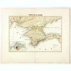
Carte de la Crimée / dressée par A. Vuillemin.
Attractive map of Crimea with inset plan of Sevastopol, prepared by Alexandre Aimé Vuillemin (1812-1886). A road system and the ferry lines are drawn in.Engraved by Jaco...
- $300 / ≈ €281
Place & Date: Paris, ca. 1860
Bataille de Solferino. Pendant que ladivision Forey s'emparait du cimetiére et
Showing the battle of de Solfererino, in Italy. Lithographed by H.Jannin, rue des Bernardins, Paris.Underneath the print a explanation "Pendant que la division Forey...
- $100 / ≈ €94
Place & Date: Paris, ca. 1860
Combat de Palestro.
Showing the battle of Palestro lithographed by E.S. Walter and printed by De Becquet and published by Rousselot in Paris.The lithograph is part of a series of prints publ...
- $100 / ≈ €94
Place & Date: Paris, ca. 1860
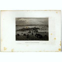
Kronstadt, in der ferne Petersburg.
Bird's eye view of Kronstadt, Russia's naval basis in front of Saint Petersburg. Original steel engraving published by Bibliographisches Institut Hildburghausen.
- $15 / ≈ €14
Place & Date: Hildburghausen, ca. 1860
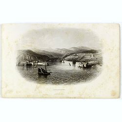
Sebastopol.
Steel engraving of the harbour at Sebastopol in the Ukraine published by James Virtue around 1860.
- $45 / ≈ €42
Place & Date: London, 1860
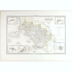
V. Compartimento Grossetano. . .
Very finely engraved and detailed map of Tuscany, centered on Grosseto. The island of Elba in left part.. In the corners insets of Sovana, Massa, Piombino, Orbetello and ...
- $200 / ≈ €187
Place & Date: Rome, 1860
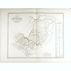
Carta degla Stati Estensi avanti il domino dei Romani Sotto Il governo dei Medesimi.
Very finely engraved and detailed map of the Duchy of Lucca before the dominion of the Romans under the rule of the same and in the Middle AgesWith a key on the right par...
- $200 / ≈ €187
Place & Date: Rome, 1860
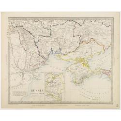
Russia in Europe Part VIII with index map.
Very detailed steel engraved map of the region north of the Black Sea, Podolia, Bessarabia, Kherson, Iekaterinoslav, Taurida, Krimea. Relief shown by hachures.The map is ...
- $150 / ≈ €140
Place & Date: London, Edward Stanford, 1864
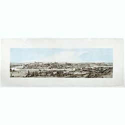
Widok Krakowa od Podgonza.
Bird's-eye view of Krakow city, with underneath the names of thirteen important buildings. Lithographed by J.Brydak after a photo by W. Rzewuskriego. Published by Czasu W...
- $750 / ≈ €702
Place & Date: Krakow, ca. 1865
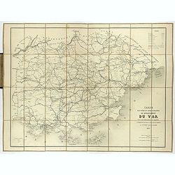
Carte routière et administrative du département du Var dressée sous l'administration et l'approbation de M. Montois, officier de la légion d'honneur, préfet , par J.B CHABET.
Folding-map of the Maritime Alps, and the Mediterranean coastline of Fréjus, Ramatuelle, St Tropez, Toulon. Engraved by Erhard, geographer and engraver (1821-1880) at th...
- $150 / ≈ €140
Place & Date: Paris, 1865
The Prince visiting the foundling hospital. / The Prince visiting the Metropolitan Archbishop.
Two engravings shown Albert Edward the Prince of Wales visiting Moscow from the Illustrated London News.
- $10 / ≈ €9
Place & Date: London, 1866
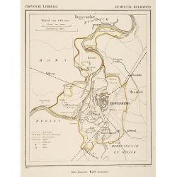
Gemeente Roermond.
From: J.Kuyper Gemeente-Atlas van Nederland naar officieele bronnen bewerkt. He was one of the most important of the Dutch atlas editors of the second half of the 19th ce...
- $90 / ≈ €84
Place & Date: Leeuwarden 1867
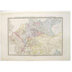
Nouvelle carte des routes de poste de l'Allemagne.
Large post road maps map of Germany, Poland, Austria, Franc, Switzerland, Austria and the Low Countries published by A. Logerot and engraved by C.Dyonnet.The mapsmakes di...
- $350 / ≈ €328
Place & Date: Paris, A. Logerot, c.1867
Carte géographique, physique et politique des royaumes d'Espagne et de Portugal indiquant les chemin fer en exploitations, ceux en cours d'éxécutions
Very large, highly detailed and uncommon map of Spain, Portugal and the northern coast of Africa. The map shows according to the title: rail roads, main interregional rou...
Place & Date: Paris, c.1867
Den Briel.
Attractive lithography showing a typical Dutch street scene of Den Briel in the middle of the 19th century, lithographed by A.C.Cramer after a painting by Cornelis Spring...
- $50 / ≈ €47
Place & Date: The Hague, 1869
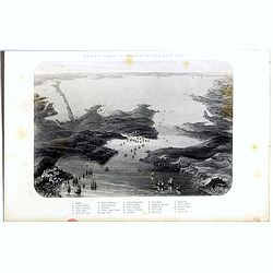
Birds-eye view of the Straits of Kertch & Sea of Azoff.
Steel engraving of the harbour at Sebastopol and the Straits of Kertch and Sea of Azoff in the Ukraine published by James Virtue around 1860.Title in upper margin. With a...
- $75 / ≈ €70
Place & Date: London, 1870
Le plan Trochu.
Lithography showing a map of France with a caricature of General Trochu and other scenes imposed on it. Designed by the French caricaturist Evrard, Emile , with his initi...
- $750 / ≈ €702
Place & Date: Paris, 1871
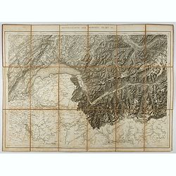
Generalkarte der Schweiz. Blatt III.
Folding map showing Leman lake. The map, engraved by Müllhaupt, is probably part of the 'Topographical Atlas of the Federal General Staff reduced under the direction of ...
- $75 / ≈ €70
Place & Date: Bern, 1873
Espagne et Portugal.
A decorative map of Spain and Portugal from Géographie Universelle, Atlas Migeon. With an engraving of the Alhambra in the lower right corner. Published by J. Migeon. Fr...
- $35 / ≈ €33
Place & Date: Paris, 1874
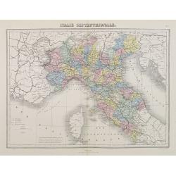
Italie Septentrionale.
A decorative map of northern Italy from Géographie Universelle, Atlas Migeon, published by J. Migeon.From one of the last decorative atlases published in the 19th centur...
- $25 / ≈ €23
Place & Date: Paris, 1874
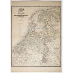
Nieuwe kaart van het Koningrijk der Nederlanden. . .
Uncommon map of the Netherlands prepared by J.S. Smulders and P. H. Witkamp and lithographed by Z.M. den Koning in the Hague. Dated.Showing The Kingdom of the Netherlands...
Place & Date: The Hague, 1874
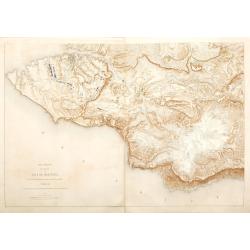
Plan général des environs de Sébastopol avec indication de la disposition générale de l'armée alliée au 24 octobre / 5 novembre 1854 et du mouvement du prince Gortchakow vers le mont Sapoune.
A very rare panoramic town-plan of the siege of Sebastopol. In lower margin : "Gravé au Dépôt topographique de la Guerre". From "Défense de Sébastopol...
Place & Date: Saint-Pétersbourg / Paris, 1863-1874
Selling price: $750
Sold in 2014
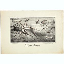
La Pieuvre Germanique.
Scarce lithographed plate not dated, by Eugène Danzanvilliers, printed by Grandremy in Paris. The plate listed by Adhemar is dated 1874. Eugène Danzanvilliers was a dra...
Place & Date: Paris, 28 Quai de la Rapée, c.1874
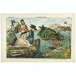
La pericolante ostinata. Papagallo No. 20 Anno II.
Design by Augusto Grossi. Taken from the Italian satirical newspaper Il Papagallo, a satirical magazine founded in January 1873 by Augusto Grossi (1835-1919), which speci...
Place & Date: Bologne, 1874
Sint Catharinakerk te Eindhoven.
Uncommon woodblock engraving of St.Catharina church of Eindhoven, built by the well-known architect P.Cuijpers. Published in Katholieke Illustratie.The "katholieke i...
Place & Date: 'sHertogenbosch, Henri Bogaerts, 1875
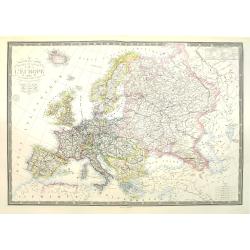
Nouvelle carte physique et politique de l'Europe. Les limites d'états.
Very large, uncommon updated version of the map of Europe prepared by H. Brué and updated by A. Vuillemin. In lower margin "Nouvelle edition" and a date (1875)...
Place & Date: Paris, 1875
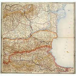
(Untitled map of western shores of the Black Sea, with Bulgaria, Roumenia.)
Untitled map of western shores of the Black Sea, with Bulgaria, Roumenia. The map has elaborate floral borders. Prepared by Josef Schlacher in Vienna and published by K.K...
- $150 / ≈ €140
Place & Date: Vienna, K.K. Militär Geografisches Institut, 1875
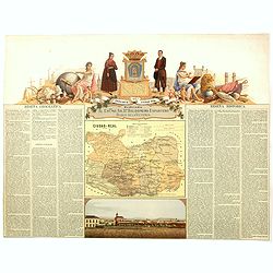
Provincia de Ciudad-Real.
Chromolithography published in "Atlas geográfico histórico de las Provincias de España". Map made by J. Reinoso, Dedicated to Excmo. Sr. Dn. Baldomero Espart...
- $120 / ≈ €112
Place & Date: Madrid, c. 1875
Provincia de Santander.
Chromolithography published in "Atlas geográfico histórico de las Provincias de España". Map engraved by J. Reinoso, Dedicated to Excmo. Sr. Duque de Santona...
- $120 / ≈ €112
Place & Date: Madrid, c. 1875
Provincia de Caceres.
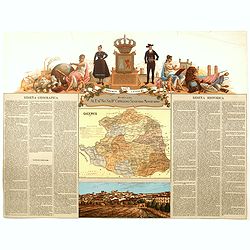
Chromolithography published in "Atlas geográfico histórico de las Provincias de España". Map made by M. Vierge, Dedicated to Excmo. Sr. Dn. Cipriano Segundo ...
- $120 / ≈ €112
Place & Date: Madrid, c. 1875












![[Title page] Album delle principali vedute di Venezia disegnate da Marco Moro. . .](/uploads/cache/32269-250x250.jpg)


