Browse Listings in Celestials > Celestials
Introductio ad Geographiam. Caput I.
Four pages with an introduction to geography in Latin with woodcut illustrations of diagrams of the solar system.
- $200 / ≈ €187
Place & Date: Amsterdam, 1606
N°3. Horologium Horizontale Horas a meridie et media nocte Numeratas continens ad latitudinem XLIX GR XXIII Minut ec.
This beautiful engraving is a horological diagram with at bottom a 32-point wind rose and signed underneath "M:Franciscus Ritter N fac A° 1640".Remarkable for ...
- $400 / ≈ €374
Place & Date: Nuremberg 1640
N°7. Horologium Horizontale parallelos Horizontis Exhibens ad Poliarctici elevationem XLVIIII Grad XXIIII Scrupul Ec.
This beautiful engraving is a horological diagram with at bottom a 32-point wind rose and signed underneath "M:Franciscus Ritter N fac A° 1640".Remarkable for ...
- $750 / ≈ €702
Place & Date: Nuremberg 1640
N°5. Horologium Horizontale signa zodiaci ascendentia : ec.cotinens ad latitud XLVIIII : GR: XXIIII: SCR ee.
This beautiful engraving is a horological diagram with at bottom a 32-point wind rose and signed underneath "M:Franciscus Ritter N fac A° 1640".Remarkable for ...
- $400 / ≈ €374
Place & Date: Nuremberg 1640
N°2. Horologium Horizontale Paralle los Horizontis cum Hor: a meridie numeratis ostendens.
This beautiful engraving is a horological diagram with at bottom a 32-point wind rose and signed underneath "Franciscus Ritter N fac:".Remarkable for the elabor...
- $750 / ≈ €702
Place & Date: Nuremberg 1640
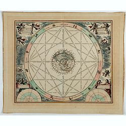
Situs Terrae Circulis Coelestibus circundatae..
A celestial chart showing a large globe centered on Australia and the Pacific, with California as an island, South East Asia, encircled by the zopdiacal band according to...
Place & Date: Amsterdam, Janssonius, 1660
Itroductio. [with sphere.]
Introduction leaf from a French text edition of Atlas Ma1or
Place & Date: Amsterdam, 1662
Le monde et sa disposition suivant Ptolomée.
The Christian Aristotelian cosmos. Ptolemy accepted the following order for celestial objects in the solar system: Earth (center), Moon, Mercury, Venus, Sun, Mars, Jupite...
- $150 / ≈ €140
Place & Date: Paris, 1667
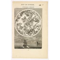
DE LA SPHERE. Figure XXXIV.
A fine celestial map depicting the northern constellations in allegorical form. Fully engraved, it presents 2 sailing ships and a harbour on the background.From the Frenc...
- $300 / ≈ €281
Place & Date: Paris, 1683
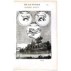
DE LA SPHERE. Figure XXXVII. 103.
Fine celestial map depicting three constellations in allegorical form. The 3 spheres are suspended above an engraved scene of a harbor on a moonlit night.From the French ...
- $100 / ≈ €94
Place & Date: Paris, 1683
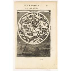
DE LA SPHERE. Figure XXXVI.
A fine celestial map depicting the southern constellations in allegorical form. Fully engraved, it presents a landscape with some sailing ships on the background.From the...
- $200 / ≈ €187
Place & Date: Paris, 1683
La Voye Laictee, Pole Arctique. [Figure XXXIX. On verso]
Nice small celestial chart showing the northern sky with ten major constellations named. Fine engravure on verso depicting a cherubin using an astronomical telescope.From...
- $200 / ≈ €187
Place & Date: Paris, 1683
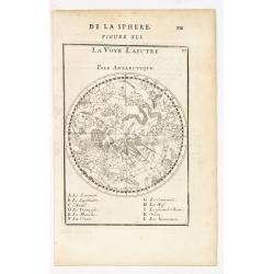
La Voye Laictee, Pole Antarctique.
Nice small celestial chart showing the southern sky with eleven major constellations named.From the French text edition of Description d'Univers.. (5 volumes), 1683. By A...
- $300 / ≈ €281
Place & Date: Paris, 1683
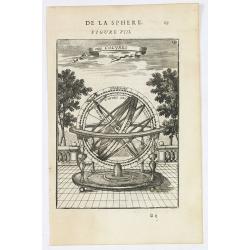
Des Colures.
Appealing print focused on an armillary sphere showing the equinoctial and the solstitial colures.From the French text edition of Description d'Univers.. (5 volumes), 168...
- $150 / ≈ €140
Place & Date: Paris, 1683
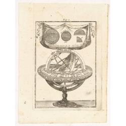
Fig. 3.
Appealing print depicting an armillary sphere.From the German text edition of Description d'Univers.. (5 volumes), 1683. By Allain Manneson Mallet (1630-1706), a well tra...
- $150 / ≈ €140
Place & Date: Frankfurt 1684
(Celestial) Fig. 36.
A fine celestial map depicting the southern constellations in allegorical form. Fully engraved, it presents a landscape with some sailing ships on the background.From the...
- $200 / ≈ €187
Place & Date: Frankfurt, 1684
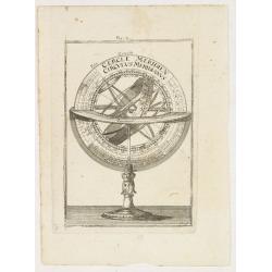
Fig. 4.
Appealing print focused on an armillary sphere.From the German text edition of Description d'Univers.. (5 volumes), 1683. By Allain Manneson Mallet (1630-1706), a well tr...
- $150 / ≈ €140
Place & Date: Frankfurt, 1684
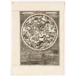
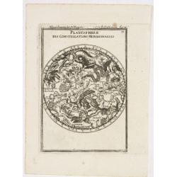
Planisphere des Constellations Meridionalles.
A fine celestial map depicting the southern constellations in allegorical form.From the German text edition of Description d'Univers.. (5 volumes), 1683. By Allain Mannes...
- $200 / ≈ €187
Place & Date: Frankfurt, 1684
[2 maps] Nieuwe Hemels Spiegel waer door den hemel, aerde en zee dadelik kan afgemeten werden. Noyt gesien en dat op alles Polus hooghten seer noodig voor Stierlieden.
Copper engraving made by Andreas van Luchtenburg in Rotterdam, published separately by Cornelis Danckerts. Dimensions. 60.5 x 52.8 cm.We see the starry sky from the nor...
Place & Date: Rotterdam, Amsterdam, 1695
Planisferii Celesti, Calcolati Per L'Anno MDCC, Corretti, Et Aumenati Di Molte Stelle . . .
Double hemisphere celestial map showing a new and more scientific depiction of the heavens. The remarkable Vincenzo Coronelli (1650-1718), was a Franciscan Friar and appo...
Place & Date: Venice, 1700
Typus aspectuum, oppositionum et conjunctionum…
A celestial chart with a circular projection map of the earth, centered in the North Pole, concentrates upon the planets' opposition and conjunction. With two diagrams in...
Place & Date: Amsterdam, 1708
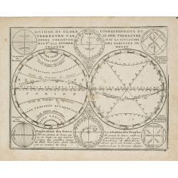
Division du Globe Terrestre par zones.. - Correspondance du Globe Terrestre avec la situation des habitants du monde.
A charming representation of various planetary models and systems according to the latest mathematical and scientific schemes of the day.From Le Nouveau et Curieux Atlas ...
Place & Date: Paris, 1719
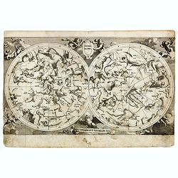
Hemel globe. / Coeli enarrant Gloriam del.
Charming double hemisphere celestial map on a polar projection. The map depicts the ecliptic pole to ecliptic, joined through winter solstice.It is based on the Hondius m...
- $500 / ≈ €468
Place & Date: Amsterdam, 1720
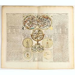
Premiere carte pour l'Introduction a l'histoire du monde, ou l'on remarque la Sphere, le Globe Celeste. . .
Featuring a small double hemisphere world map, showing California as an island, North and South Polar celestial hemispheres, an Armillary Sphere, below with smaller circu...
- $500 / ≈ €468
Place & Date: Amsterdam, 1720
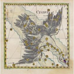
Cygnus.
Uncommon celestial print of Cygnus, published by Corbinianus Thomas in the Manuductio ad Astronomiam, Juxta modum Bayeri, Mathematici celeberrimi, concinnata, multis,…e...
- $350 / ≈ €328
Place & Date: Frankfurt & Leipzig, c.1730
Delphinus.
Uncommon celestial print showing the constellation of Delphinus, published by Corbinianus Thomas in the Manuductio ad Astronomiam, Juxta modum Bayeri, Mathematici celeber...
Place & Date: Frankfurt & Leipzig, c.1730
Hemisphaerium Coeli Australe in quo Fixarum. . .
Magnificent celestial chart drawn by the famous scientist Johann Gabriel Doppelmayr.Large circular charts of the southern hemisphere constellation, with decorative vignet...
- $1800 / ≈ €1684
Place & Date: Nuremberg, 1747
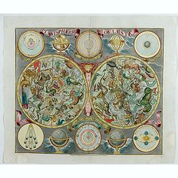
Planisphaerum coeleste.
A very decorative double hemisphere celestial chart. The 10 smaller circular diagram showing the rotation of the Planets, according to Tycho Brahe, Ptolemy and Copernicus...
- $1500 / ≈ €1404
Place & Date: Nurenberg, 1750
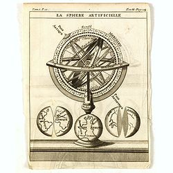
La Sphere Artificielle.
A diagram of an armillary sphere, with three illustrations of the Earth underneath. Published in "Nouveau traité de geographie par M**** ", published by La veu...
- $70 / ≈ €66
Place & Date: Paris, 1752
[Lot of 2 prints of Globes] La Sphere Terrestre / La Sphere Celeste.
La Sphere Terrestre / La Sphere Celeste A set of two very fine prints of a Terrestrial Sphere and a celestial Sphere. With an description on both sides. All within an ...
- $450 / ≈ €421
Place & Date: Paris, L.C. Desnos, 1761
Hemisphere Celeste Antarctique ou Austral. . .
Map printed in two colors, black for the stars, red for the constellation figures. With later color addition.Uncommon large-scale celestial chart of the southern hemisphe...
- $750 / ≈ €702
Place & Date: Paris, 1764
Planisphere celeste Septentrional. . . [together with] Planisphere celeste meridional. . .
Beautiful set of celestial charts of the northern and southern skies by the well-known French astronomer, Philippe de La Hire. Surrounded by panels of astronomical notes ...
Place & Date: Paris, ca.1775
Divisions du Globe Terrestre en Cercles, Zônes, Climats, Longitudes et Latitudes.
A scarce print showing 15 globes, each globe showing different zones published by Mondhare for his Atlas Général a l'usage des colleges et maisons d'education.. Underne...
- $75 / ≈ €70
Place & Date: Paris, 1783
Représentation du Globe céleste En deux Plans Hémisphères Coupés par l'Ecliptique.
Scarce double armillary sphere prepared by Nolin and published by L.J. Mondhare for his Atlas Général a l'usage des colleges et maisons d'education.. Louis Joseph Mondh...
- $75 / ≈ €70
Place & Date: Paris, 1783
De la Sphère. L'equateur. Des Tropiques. Le zodiac. Les cercles polaires. L'Horizon. Le meridian.
Print of armillary sphere, surrounded by several diagrams of the sun, moon, and planets after Cassini. To the left and right 7 blocks of text with explanations and one co...
- $350 / ≈ €328
Place & Date: Paris, 1787
Sterre kaert of hemels pleyn, waer door men kan wete hoe laet dat het is over de gehele aertkloot, op alle meridiane en polus hoogte . . .
A most attractive Mercator style oblong projection of the entire night sky showing all the heavenly bodies of the northern and southern skies, and with panels of astrolog...
Place & Date: Amsterdam, 1792
Planisferio Celeste contenente le stelle dalla 1 alla 5 grandezza. . .
Decorative large double hemisphere celestial chart, centred on the north and south poles with descriptive key to zodiac signs in German, French and Italian. Showing stars...
- $1500 / ≈ €1404
Place & Date: Milan, c.1822
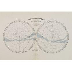
Planisphère Célèste.
Showing the southern and northern celestial hemispheres from Géographie Universelle, Atlas Migeon. Published by J. Migeon. From one of the last decorative atlases publis...
Place & Date: Paris, 1874
Selling price: $60
Sold in 2012
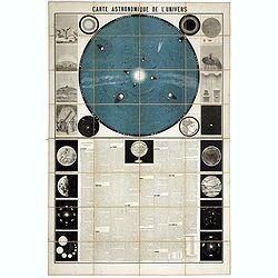
Carte Astronomique de L'Univers.
A large and decorative, informative chart illustrating and describing the Solar System, backed by the stars, printed in blue and black, surrounded by further 17 vignette ...
Place & Date: Paris, 1875
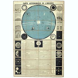
Carte Astronomique de L'Univers.
A large and decorative, informative chart illustrating and describing the Solar System, backed by the stars, printed in blue and black, surrounded by further 17 vignette ...
- $1250 / ≈ €1170
Place & Date: Paris, 1875
La Lune à un Mètre [Mini poster for Paris Exposition Universelle)
Original lithograph poster for "Paris Exposition Universelle" held between April and November, 1900, which received 50 million visitors. In 1899, director Geor...
Place & Date: Paris, c.1900
[Set of six postcards] La Comète 1910 / Komet 1910.
Complete set of six postcards commemorating Halley's Comet in 1910. Numbered on verso 1 to 6, Verlag Koch & Bitriol Serie 3090 Bild 6 AK. Designed by K. Hesse. The ye...
Place & Date: Dresden, Koch & Britriol, 1910
AIR France - Réseau Aérien Mondial.
Original pictorial lithograph advertising planisphere poster from AIR France. The poster has a black background. In the lower right below the border '016/P/AF Printed in ...
Place & Date: Imprimerie Perceval, Paris, ca. 1950
AIR France [Planisphère Air France Zodiac].
A double-hemisphere celestial map with the constellations of the zodiac in gold and the others in turquoise, set against a sky of navy blue, both with the major stars mar...
- $2200 / ≈ €2059
Place & Date: Imprimerie Perceval, Paris, 1953
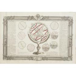
[Lot of 3] Celestial chart depicting astronomical division of the earth.
A chart depicting the astronomical division of the earth. With on both sides a descriptionary text. All within an elaborate and very decorative border. A very fine item. ...
- $250 / ≈ €234
Place & Date: Paris, L.C. Desnos,1761.


![Itroductio. [with sphere.]](/uploads/cache/23703-250x250.jpg)

![La Voye Laictee, Pole Arctique. [Figure XXXIX. On verso]](/uploads/cache/22619-250x250.jpg)
![[2 maps] Nieuwe Hemels Spiegel waer door den hemel, aerde en zee dadelik kan afgemeten werden. Noyt gesien en dat op alles Polus hooghten seer noodig voor Stierlieden.](/uploads/cache/49049-250x250.jpg)



![[Lot of 2 prints of Globes] La Sphere Terrestre / La Sphere Celeste.](/uploads/cache/84233-250x250.jpg)

![Planisphere celeste Septentrional. . . [together with] Planisphere celeste meridional. . .](/uploads/cache/35291-250x250.jpg)




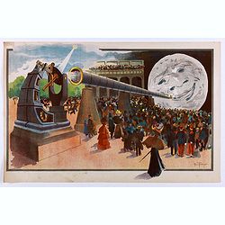
![[Set of six postcards] La Comète 1910 / Komet 1910.](/uploads/cache/44401-250x250.jpg)
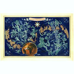
![AIR France [Planisphère Air France Zodiac].](/uploads/cache/46994-250x250.jpg)
![[Lot of 3] Celestial chart depicting astronomical division of the earth.](/uploads/cache/IMG_2256-250x250.jpg)