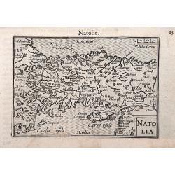
Natolia.
A miniature map of the Arabian peninsula, including Cyprus. The title cartouche on the lower right corner.First published in 1598 in his Caert-Thresoor, the plates were e...
- $200 / ≈ €176
Place & Date: Amsterdam / Frankfurt, 1609
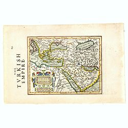
Turcicum Imperium.
Early map of Turkey, the Arabian peninsula and eastern part of the Mediterranean.From the English edition of Mercator's Atlas Minor. This edition 1635. English text on ve...
- $400 / ≈ €352
Place & Date: Amsterdam, 1635
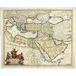
Turcicum Imperium.
Detailed map of the Turkish Empire by Holland's leading mapmaker at the end of the seventeenth century. The cartouche shows an Ottoman administrator or possibly the Sulta...
Place & Date: Amsterdam, 1680
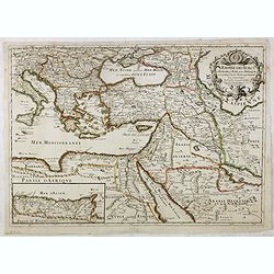
L'Empire des Turcs en Europe, en Asie et en Afrique.
A nice map showing the Turkish Empire, including an inset map of kingdom of Alger. Extending from Italy and the Eastern Mediterranean in the west to the Caspian Sea and P...
- $550 / ≈ €484
Place & Date: Paris, 1686
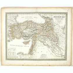
Das Osmanische asien oder die Asiatische Türkey. . .
Decorative map showing 'Asia Minor' with its neighboring countries. Prepared by Karl Ferdinand Weiland The eastern part of the Mediterranean Sea with Cyprus is as well sh...
- $200 / ≈ €176
Place & Date: Weimar, 1836-1838
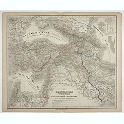
Die Asiatische Türkei. Die Kaukasusländer und West Persien.
Detailed map of Ottoman Asia or the Asian Turkey. Below the title a colored key to Turkish, Iran, Kurd, Caucasus and Russian possessions.Map prepared by H. Kiepert.
- $75 / ≈ €66
Place & Date: Weimar, 1836-1838
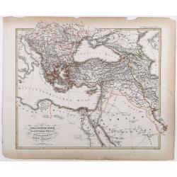
Das osmannische Reich und dessen Schutz-Staaten, nach seiner grossten Ausdehnung im XVIIten Jahrhundert.
Karl von Spruner's historical map of the Ottoman empire at the end of the 17th century. Showing Bosnia to Egypt and as far east as Persia. Including northern part of the ...
- $175 / ≈ €154
Place & Date: Gotha, J.Perthes, ca. 1854
