Search Listings matching "sea-chart" in Asia > South East Asia
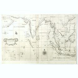
Carta prima Generale dell' Asia.
FIRST STATE of Robert Dudley's general chart of the Persian Gulf, going east through India to the southeastern coast of China showing Macau and the area of present-day Ho...
Place & Date: Florence, 1646
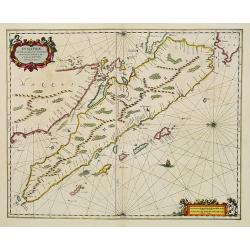
Sumatrae et insularum Locorumque nonnullorum circumiacentium. . .
Fine depicting the Island of Sumatra and the southern coasts of Malaysia from Quedo to Johore.North is orientated to the left of the page.Singapore is probably identifie...
Place & Date: Amsterdam, 1660
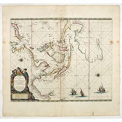
Paskaerte Zynde t'Oosterdeel Van Oost Indien, met alle de Eylanden daer ontrendt geleegen van C. Comorin tota aen Iapan.
An eye-catching chart of Pieter Goos' sea chart of Australia, Southeast Asia, China, Japan, Korea and India. The chart shows the regions from Cape Comorin (Southern India...
Place & Date: Amsterdam, 1669
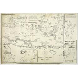
Eastern passage to China. sheet 1.
James Horsburgh early chart of the coasts of Java, Bali, Lombok, with part of Sulawesi, and Borneo. Insets of "Sketch of Bally Strait", Sketch of Lombock Strait...
- $2500 / ≈ €2200
Place & Date: London, 1824
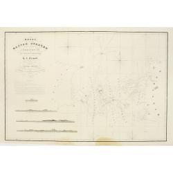
Kaart van de Gaspar Straaten volgens opnemingen van J.Stolze, D.Ross, enz.
Very large and rare chart centered on the strait between Bangka's southeastern seacoast and Belitung's western shores.Short front views of the coastal relief are shown in...
Place & Date: Amsterdam 1843
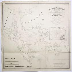
Straat Riouw onder opzicht van de commissie tot verbetering der Indische Zeekaarten..
Very large and rare so-called Blue Back centered on the strait passing between the Riau Islands. It contains an inset map with enlarged details of Riouw Harbor on Bintang...
Place & Date: Amsterdam 1843
Kaart van een gedeelte van de Noord Kust van Java en Straat Sunda van Tanjong Kaik tot den vierden hoek bij Anjer..
Very large and rare chart depicting Java's northern seacoast.Coastal profiles are present at the bottom of the map.The chart is prepared by B.H.Staring, J.A.G.Rietveld an...
Place & Date: Amsterdam 1843-1844
Straat Sunda en Westkust van Java.
Very large and rare chart depicting Java's western seacoast close to the Sunda Strait.Showing part of Sumatra on top and the West Java tip, today hosting the Ujung Kulon ...
Place & Date: Amsterdam (1841)1846
Kaart van de Reede van Batavia met de verschillende vaarwaters naar dezelve trigometrisch opgenomen op last van deb schout bijnacht E.Lucas.
Very large and rare so-called blue-black chart centered on Jakarta's harbor.The chart is prepared by B.G.Escher, I.A.C. Eschauzier, B.H.Staring and E.H.Boom during an exp...
Place & Date: Amsterdam (1841) 1847
Carte générale de la mer des Indes dressée par P. Daussy et P.E. Wissocq, grave par Chassant, ecrit par J.M. Hacq.
Magnificent and detailed large-scale chartdepicting the Indian ocean, with east coast of Africa, Madagascar, Arabian Peninsula, India, China, etc .Including the West coa...
- $1000 / ≈ €880
Place & Date: Paris, 1837-1869
