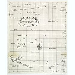
Carta terza Generale del' Asia.
Rare first state of this important chart showing part of the north coast of New Guinea and islands of the Pacific Ocean. To the north of Japan the landmass of Isola di Ie...
$3500 / ≈ €3080
Place & Date: Florence, 1646
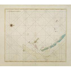
Manuscript map of the Bay of Nagasaki.
An extremely rare manuscript chart in brown ink and wash color on a printed sheet of paper with a system of rhumblines and latitude scales. This chart shows the Bay of Na...
$50000 / ≈ €43993
Place & Date: Amsterdam, 1750
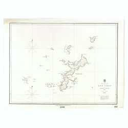
North Pacific Ocean LOO CHOO and adjacent Islands 1855.
Large scale chart of Okinawa in the Japan Sea. With scale and vignette of Typographical office. Map nr. 2416.An interesting note in lower right "The coast line of al...
- $300 / ≈ €264
Place & Date: London, 1855


