Browse Listings in Asia > Central Asia
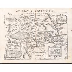
Tabula Asiae VII.
Attractive woodblock map, depicting the Caspian Sea, Black Sea and the Persian Gulf, extending to the Imaus Mountains. according to Ptolemy. In the center of the map is...
- $500 / ≈ €468
Place & Date: Basle, 1542
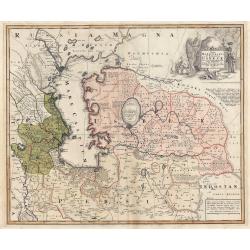
Nova Maris Caspii et Regionis Usbeck cum Provincijs adjacentibus vera Delineatio
This is the first printed map specifically of the Uzbek region. The map shows the area around the Caspian Sea and northern Iran. The earea eastwards from the Caspian is m...
- $800 / ≈ €749
Place & Date: Nuremberg, 1735
Perse.
Scarce small map of Persia based on cartography of Guillaume Delisle (. Published in "Nouveau traité de geographie par M ", published by La veuve Lottin & ...
Place & Date: Paris, P.G. Le Mercier, 1752
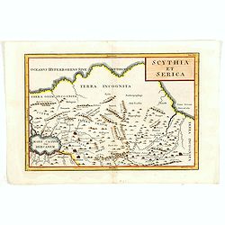
Scythia et Serica.
Covering the region between the Caspian and the Sea of China, much of which is Terra Incognita in the North and East. With title in upper right corner.To the east of the ...
Place & Date: London, 1755
Le Royaume de Perse suivant les nouvelles observations Par J.B.Nolin.
This is a rare map of Persia with modern-day Uzbekistan to the north. The region is labeled as "Grande Tartarie" and "Pays des Usbeks." Bocara (Bukhar...
- $300 / ≈ €281
Place & Date: Paris, 1783
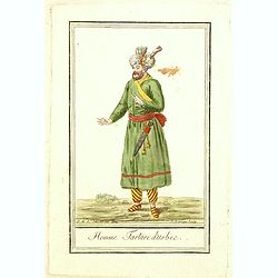
Homme Tartare d'Usbec.
Originally hand-colored costume mezzotint of a man from Uzbekistan engraved by Félix Mixelle and Lachaussée Jeune after Jacques Grasset de Saint-Sauveur.As an etcher, d...
Place & Date: Paris,1801-1806
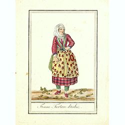
Femme Tartare d'Usbec.
Originally hand-colored costume mezzotint of a woman from Uzbekistan engraved by Félix Mixelle and Lachaussée Jeune after Jacques Grasset de Saint-Sauveur.As an etcher,...
Place & Date: Paris,1801-1806
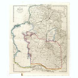
The Caspian Sea, Khivah, and the surrounding country compiled from the best sources by John Arrowsmith
This is a very detailed map of the Caspian Sea regions to the north and east. It includes the Caspian Sea, Aral Sea, and the khanate of Khiva, including parts of today's ...
- $450 / ≈ €421
Place & Date: London, 1846-1858
