Browse Listings in Asia
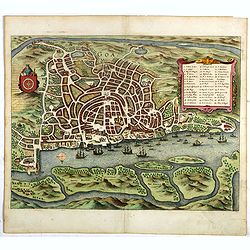
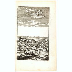
Negapatam.
Bird's-eye view of Nagapattinam or Negapatam, India, printed for the first Dutch edition of Baldaeus' work "A true and exact description of the most celebrated East-...
- $200 / ≈ €187
Place & Date: Amsterdam, 1672
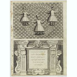
Turckschemoniken die onder den goddelycken. . .
Decorative picture of three dervishes dancers. Their whirling dance, also known as the sema, is a serious religious ritual performed by Muslim priests in a prayer trance ...
Place & Date: Antwerpen, Michiel Cnobbaert, 1673
[Illustration from Hierusalemsche Reyse.] Interieur of Church of the Holy Sepulchre.
Interior of a Church of the Holy Sepulchre. Below a decorative cartouche with lettered key and surrounded by 2 cherubins.Taken from a very rare travel book by Anthonius G...
- $30 / ≈ €28
Place & Date: Antwerpen, Michiel Cnobbaert, 1673
Rama. [Ramah]
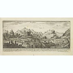
Town plan of Ramah, about 5 miles (8 km) from Jerusalem and near to Gibeah. Below a decorative cartouche with numbered key and surrounded by 2 cherubins.Taken from a very...
Place & Date: Antwerpen, Michiel Cnobbaert, 1673
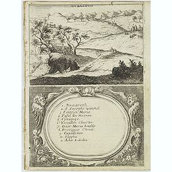
Nazareth.
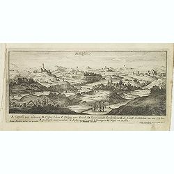
Decorative view of Nazareth, below a decorative cartouche with numbered key and surrounded by 2 cherubins. Taken from a very rare travel book by Anthonius Gonsales, "...
Place & Date: Antwerpen, Michiel Cnobbaert, 1673
Via Bethleem. [The route from Jerusalem to Bethlehem ]
The route from Jerusalem to Bethlehem. Below a lettered key. Taken from a very rare travel book by Anthonius Gonsales, "Hierusalemsche Reyse". The book describe...
Place & Date: Antwerpen, Michiel Cnobbaert, 1673
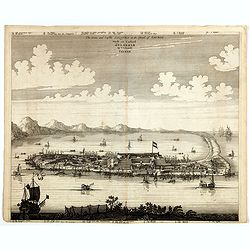
La Ville et le Château de Zélandia dans l' île de Tayovan.
This important copperplate engraving is one of the earliest European views of Taiwan, depicting the Dutch fortifications and trading settlement on the West coast of the i...
- $1800 / ≈ €1684
Place & Date: Amsterdam, 1675
The citie and Castle Zelandia in the Island of Taywan. / Stadt en casteel Zelandia op 't Eilant Taywan.
This important copperplate engraving is one of the earliest European views of Taiwan, depicting the Dutch fortifications and trading settlements on the West coast of the ...
- $1600 / ≈ €1497
Place & Date: Amsterdam, 1675
Les Estats De L'Empire Du Grand Seigneur Des Turcs En Europe. . .
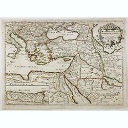
Prepared by N.Sanson. The map represents the Ottoman Empire based on Sanson's 1654 map. The Arabian Peninsula is shown with much detail including towns, villages, mountai...
- $1500 / ≈ €1404
Place & Date: Paris, 1675
Perse.
Uncommon miniature map of Persia, from Pierre Duval's La Geographie Universeille dated 1676. Following his Cartes de Géographie in 1657, Pierre Duval published this smal...
- $150 / ≈ €140
Place & Date: Paris 1676
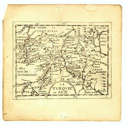
La Turquie en Asie.
Uncommon miniature map of Turkey, Cyprus, Palestine, Iran, Iraq. From Pierre Duval's "La Geographie Universeille" dated 1676. Following his "Cartes de geog...
- $100 / ≈ €94
Place & Date: Paris,1676
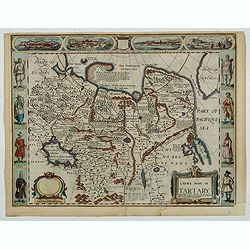
A newe mape of Tartary.
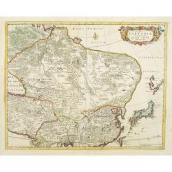
An early edition of one of the most decorative maps of Tartary, known for its figured borders with costume figures, while above are vignettes of the cities of Astrakhan, ...
- $2000 / ≈ €1871
Place & Date: London, 1676
Presqu''isle de L'Inde de ça le Gange.
Uncommon miniature map of India from Pierre Duval's La Geographie Universeille dated 1676. Following his Cartes de geographie in 1657, Pierre Duval published this smaller...
- $150 / ≈ €140
Place & Date: Paris, 1676
Empire du Mogol.
Uncommon miniature map of the Mongol empire from Pierre Duval's La Geographie Universeille dated 1676. Following his Cartes de geographie in 1657, Pierre Duval published ...
- $150 / ≈ €140
Place & Date: Paris, 1676
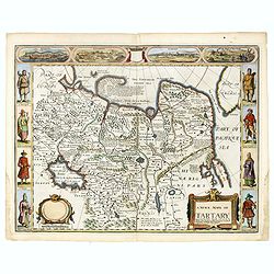
A newe mape of Tartary.
One of the most decorative maps of Tartary [i.e. Mongolia], known for its figured borders with costume figures, while above are vignettes of the cities of Astrakhan, Sama...
- $1800 / ≈ €1684
Place & Date: London, Bassett & Chiswell, 1627-1676
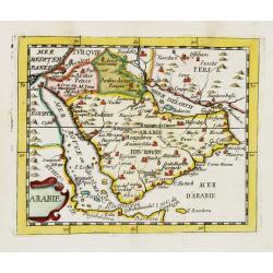
Arabie.
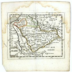
Uncommon miniature map of the Arabian peninsula, from Pierre Duval's La Geographie Universeille dated 1676. Following his Cartes de géographie in 1657, Pierre Duval publ...
Place & Date: Paris, 1676
Presqu''isle de L'Inde de ça le Gange.
Uncommon miniature map of India from Pierre Duval's La Geographie Universeille dated 1676. Following his Cartes de geographie in 1657, Pierre Duval published this smaller...
- $120 / ≈ €112
Place & Date: Paris, 1676
Arabie.
Scarce miniature map of the Arabian peninsular, from Pierre Duval's La Geographie Universeille dated 1676. Following his Cartes de géographie in 1657, Pierre Duval publi...
- $300 / ≈ €281
Place & Date: Paris, 1676
Presqu''isle de LINDE de là le Gange.
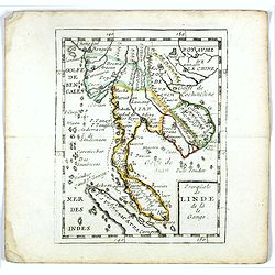
Scarce miniature map of Southeast Asia extends from Burma and China in the north to a portion of Sumatra in the south. From Pierre Duval's La Geographie Universeille date...
- $250 / ≈ €234
Place & Date: Paris, 1676
La Turquie en Asie.
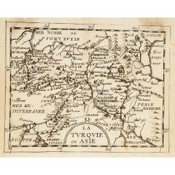
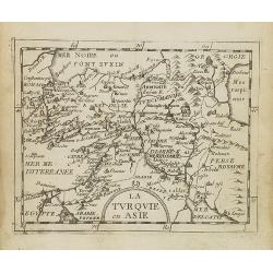
Uncommon miniature map of Turkey, Cyprus, Palestine, Iran, and Iraq. From Pierre Duval's "La Geographie Universeille" dated 1676. Following his "Cartes de ...
- $75 / ≈ €70
Place & Date: Paris, 1676
La Turquie en Asie.
Uncommon miniature map of Turkey, Cyprus, Palestine, Armenia, Iran and Iraq. From Pierre Duval's La Geographie Universeille dated 1676. Following his Cartes de geographie...
- $90 / ≈ €84
Place & Date: Paris, 1676
Grande Tartarie vers l'orient où sont le Turquestan, la Tartarie septentrionale, et la Tartarie du Kin. . .
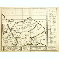
Early edition of this rare map of Tartary which incorporates Turkestan (including East Turkestan), Greater Mongolia, Giacathai.The Great Wall is shown in the lower center...
- $750 / ≈ €702
Place & Date: Paris, 1677
Reiß in das Gelobte Land ... Mit nach dreyen andern Reißbeschreibungen vermehret, und schönen Kupfern gezieret.
Very rare first illustrated edition of collected travel accounts by citizens of Zürich, containing : Hans Jacob Amman, "Narrative of a trip to Palestine". The ...
Place & Date: Zürich, M. Schauffelberger Erbin, 1678
Lesser Tartaria.
A late seventeenth-century English map of Siberia / Tartary.A scarce little map with accompanying engraved text (94x55mm) from "Atlas Minimus, or, A book of geograph...
- $200 / ≈ €187
Place & Date: London, 1679
Carte des Isles du Japon Esquelles est remarque la Route..
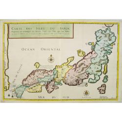
This uncommon map of Japan, which is on a fairly large scale, contains comments about the nature of the country. For instance, Ocsaqui (Okazaki, near Nagoya) is said to h...
Place & Date: Paris 1679
Description de la Tartarie. . .
Detailed map of Tartary, northern China and Korea as an island. The Caspian Sea in the utmost left. Numerous place-names of counties, cities, towns, physical features.Ala...
- $250 / ≈ €234
Place & Date: Paris, 1679
Carte des Isles du Japon Sequels est remarque la Route..
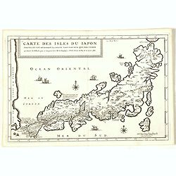
This uncommon map of Japan, a reduced version of his larger map, contains comments about the nature of the country. For instance, Ocsaqui (Okazaki, near Nagoya) is said t...
Place & Date: Paris / Amsterdam, 1679
Tabula Tartariae et majoris partis regni Chinae.
Stretching from the Caspian Sea in the west to Formosa in the south-east. Including the peninsula of Korea, Japan, Taiwan and the east coast of Yedso. Decorated with fine...
- $900 / ≈ €842
Place & Date: Amsterdam, 1680
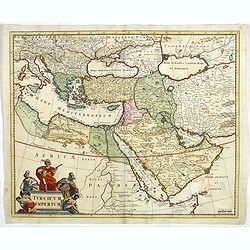
Turcicum Imperium.
Detailed map of the Turkish Empire by Holland's leading mapmaker at the end of the seventeenth century. The cartouche shows an Ottoman administrator or possibly the Sulta...
- $900 / ≈ €842
Place & Date: Amsterdam, 1680
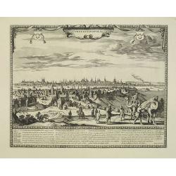
Constantinopolis.
Extremely rare panoramic town-view of Istanbul published by Frederick de Wit. With a numbered key (1-17) to principal places in town and a poem in Latin, Dutch, English a...
- $4000 / ≈ €3743
Place & Date: Amsterdam, 1680
'T Ryk van Persien.
An attractive miniature prepared by N. Sanson. Engraved by A.de Winter.
- $100 / ≈ €94
Place & Date: Amsterdam, Utrecht, Halma, 1680
Ambassades mémorables de la Compagnie des Indes orientales des Provinces Unies vers les empereurs du Japon.
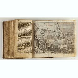
First edition in French of this important work on Japan, a work whose illustrations "represent a high-water mark in book illustrations of the 17th century" (Lac...
Place & Date: Amsterdam, 1680
Goa.
A finely engraved, detailed plan of Goa. It also appeared in Gottfried’s Archontologia (1649). There is a cartouche identifying 43 buildings and the plan includes the h...
- $300 / ≈ €281
Place & Date: Frankfurt, 1680
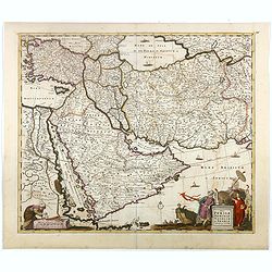
Nova Persiae Armeniae Natoliae et Arabiae.
This fine map shows the area East from Cyprus to Iran, including The Saudi Peninsula, Red Sea, Nile River, Cyprus, Asia Minor, the Gulf of Aden, the Indian Ocean, Armenia...
- $1000 / ≈ €936
Place & Date: Amsterdam, 1680
Tabula Tartariae et majoris partis regni Chinae.
Stretching from the Caspian Sea in the west to Formosa in the south-east. Including the peninsula of Korea, Japan and the east coast of Yedso. Decorated with finely engra...
- $800 / ≈ €749
Place & Date: Amsterdam, 1680
Tabula Tartariae et majoris partis regni Chinae.
Stretching from the Caspian Sea in the west to Formosa in the south-east. Including the peninsula of Korea, Japan and the east coast of Yedso. The Great Wall of China is ...
- $650 / ≈ €608
Place & Date: Amsterdam, 1680
Accuratissima totius Asiae tabula..
The map includes a detailed depiction of South East Asia and the Far East. The northern tip of Australia (Hollandia Nova) is shown as are the important discoveries made t...
Place & Date: Amsterdam, 1680
Indiae Orientalis nec non Insularum adiacentium.
Fine map of South East Asia from India to New Guinea with Japan and the southern tip of Korea in the upper right. The map leaves the question of Torres Straits unanswered...
- $1800 / ≈ €1684
Place & Date: Amsterdam, 1680
Waere affbeeldinge wegens het casteel ende stadt Batavia.
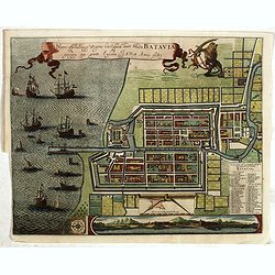
A good impression of this finely engraved and detailed plan of Batavia, present-day Jakarta, the Dutch center of trading activities in the East Indies. Copied after Cleme...
Place & Date: Amsterdam, 1681
Hern Johann Baptisten Taveniers..Vierzig Jaehrige Reize..
This German edition includes Tavernier's map of Japan in a reduced form (210x315mm) and contains legends about the country's nature, e.g., where gold is mined and plottin...
Place & Date: Nuremberg, 1681
Het Beloofde Landt Canaan door wandelt . . .
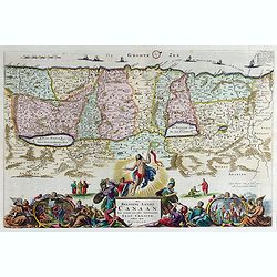
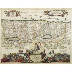
A beautifully engraved map of the ancient land of Canaan which roughly corresponds to present-day Israel. Cherubs hold up a draped cloth of key symbols, also a scale pane...
Place & Date: Amsterdam, 1682
Jerusalem.
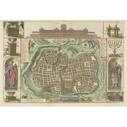
Engraved by Bastiaan Stoopendaal from Juan Bautista Villapando's imaginary town-plan of Jerusalem. This bird's-eye view is surrounded by 12 scenes, views and portraits of...
Place & Date: Amsterdam, 1682
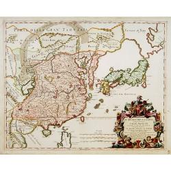
Il regno della China detto presentente Catay e Magnin. . .
A rare and decorative Italian map of China and Japan, with Japan closely modelled on the indented Cardim outline and Hokkaido, called Yuppi , shown as an Asian peninsula....
Place & Date: Rome, 1682
Ardeuil ou Ardebil.
A fine and uncommon early 17th century birds-eye view of Ardeuil in Iran, Persia.From the French text edition of Description d'Univers, 1683. by Allain Manneson Mallet (1...
- $80 / ≈ €75
Place & Date: Paris, 1683
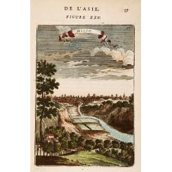
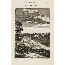
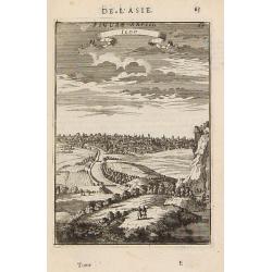
Miaco.
A late 17th century miniature view of the skyline of Miaco (Kyoto). By Allain Manneson Mallet (1630-1706), a well traveled military engineer and geographer who worked in ...
- $200 / ≈ €187
Place & Date: Paris, 1683
India extra Gangem . . .
Map covering the subcontinent from the Bay of Bengal and the Gulf of Cambay to Ceylon (Sri Lanka) and offers impressive detail given that the interior of India was largel...
- $300 / ≈ €281
Place & Date: Utrecht / Amsterdam, J.Halma, 1683
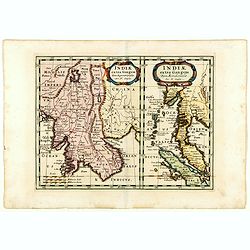
Indiae extra Gangem Pars Septentrionalis. Indiae extra Gangem Pars Meridionalis.
The map on the left depicts the northern portion of the India Ganges region, representing Burma (Myanmar), Thailand, Cambodia, Vietnam and Laos. The right one depicts th...
Place & Date: Utrecht / Amsterdam, J.Halma, 1683
Iedo. (Tokyo)
A late 17th century miniature view of the skyline of Jedo (Tokyo). By Allain Manneson Mallet (1630-1706), a well traveled military engineer and geographer who worked in 1...
- $200 / ≈ €187
Place & Date: Paris, 1683
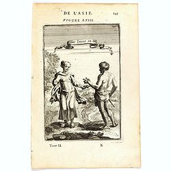
Habitants des Isles de la Sonde.
A fine and uncommon early 17th century print of two inhabitants of the Sunda Islands, East Indies (Indonesia).From the French text edition of Description d'Univers, 1683....
- $75 / ≈ €70
Place & Date: Paris, 1683
La Gran Tartaria divisa nelle sue parti pricipali da Giacomo Cantelli. . .
In upper right hand corner a large title cartouche with dedication to Tavernier and Thévenot. The cartographer was Giacomo Cantelli (1643-1695) who was active in Modena ...
Place & Date: Rome, 1683
Royaume de la Chine. . .
Detailed map of China. Engraved by A.Winter. Attractive miniature map, depicting Korea as an island and parts of Japan, i.e. western part of Honshu and Kyushu.
- $450 / ≈ €421
Place & Date: Utrecht, 1683
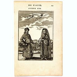
Mongols (De L'Asie / figure LIII).
A fine and uncommon early 17th century print of a Mogol couple.From the French text edition of "Description d'Univers", 1683. by Allain Manneson Mallet (1630-17...
- $80 / ≈ €75
Place & Date: Paris, 1683
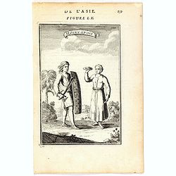
Molucquois (De L'Asie / figure LX).
A fine and uncommon early 17th century print of two people from Moluccas.From the French text edition of "Description d'Univers", 1683. by Allain Manneson Malle...
- $80 / ≈ €75
Place & Date: Paris, 1683
Isole dell 'India cioè le Molucche le Filippine e della Sonda . . . [East Indies].
In lower left hand corner a large title cartouche, decorated with mermaids, mermen and playful putti. A scarce, uncommon, late 17th century map of South East Asia, based ...
- $1800 / ≈ €1684
Place & Date: Rome, 1683
Tartaria sive Magni Chami imperium.
Detailed and decorative map of Tartary and Northern part of China. Northern tip of Korea included. The Chinese Great Wall is depicted.
- $120 / ≈ €112
Place & Date: Amsterdam, 1683
Miaco.
A late 17th century miniature view of the skyline of Miaco (Kyoto). By Allain Manneson Mallet (1630-1706), a well traveled military engineer and geographer who worked in ...
- $225 / ≈ €211
Place & Date: Paris, 1683
Grant Mogol - Der Graf Mogol (Fig LI).
A fine and uncommon early 17th century print of a Mughal emperor. Engraved by Joh. Jak. Vogel.By Allain Manneson Mallet (1630-1706), a well traveled military engineer and...
- $45 / ≈ €42
Place & Date: Frankfurt, 1684
Die Mogoler (Fig LIII).
A fine and uncommon early 17th century print of a couple at time of the Mughal Empire. Engraved by Joh. Jak. Vogel.By Allain Manneson Mallet (1630-1706), a well traveled ...
- $40 / ≈ €37
Place & Date: Frankfurt, 1684
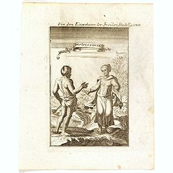
Von den Einwohnerne der Insulen Sonde (Fig LXIII).
A fine and uncommon early 17th century print of two inhabitants of the Sunda Islands, East Indies (Indonesia). Engraved by Joh. Jak. Vogel.By Allain Manneson Mallet (1630...
- $75 / ≈ €70
Place & Date: Frankfurt, 1684
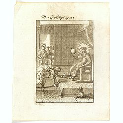
Der Grosse Mogol Fig LII.
A fine and uncommon early 17th century print of a Mogol.By Allain Manneson Mallet (1630-1706), a well traveled military engineer and geographer who worked in 17th century...
- $45 / ≈ €42
Place & Date: Frankfurt, 1684
Adrianopel. (Edirne)
Panoramic view of Adrianopel or its modern name Edirne in European Turkey, near the border with Greece and Bulgaria. Published in "Der Donau-Strand Mit allen seinen ...
- $75 / ≈ €70
Place & Date: Nuremberg, Jacob Sandrart, 1684
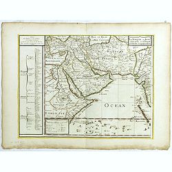
La Turquie en Asie, l'Arabie et la Perse.
Uncommon map centered on Arabian Pen Insular and Turkey, Cyprus, Palestine, Iran, Iraq.Pierre Du Val (1619-1683) was one of the most influential and prolific mapmakers an...
- $2500 / ≈ €2339
Place & Date: Paris, 1684
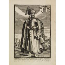
Avrengzebe Roy des Indes Orientales, si zelé po.r. la Religion de Mahomet ..
Very rare and decorative costume plate. Underneath the plate a descriptive text in French.Bears the address : Se vend à Paris chez F. Jollain l aine Rue St Jacques a la ...
- $100 / ≈ €94
Place & Date: Paris, ca. 1685
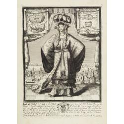
La Reine de la chine.
Very rare and decorative costume plate. In the background : Palais Royal Peking. Beneath the plate a descriptive text about the Queen of China.Bears the address : Se vend...
Place & Date: Paris, ca. 1685
Paradigma XV Provinciarum et CLV Urbium Capitalium Sinensis Imperij Cum Templis quae Cruce X Signatur Et Domiciliis S.I.
First edition of this rare Jesuit map of China, published by Jean Baptiste Nolin in Paris and based on Philippe Couplet's map of 1686. The map shows China's 15 provinces ...
Place & Date: Paris, 1686
Le Grand Mongol. . .
Rare full portrait of the Mongol emperor of Indostan, published by map seller, François Jollain, the Elder (1641-1704), active in Paris, rue St. Jacques à la ville de C...
Place & Date: Paris, ca. 1686
Partie Meridionale de l'Inde en deux presqu'isles. . .
Sanson's important mid-seventeenth century map of India and Southeast Asia, with the engraved date 1686, with the address "Aux Galleries du Louvre" added in bro...
- $800 / ≈ €749
Place & Date: Paris, 1686
L'Empire des Turcs en Europe, en Asie et en Afrique.
A nice map showing the Turkish Empire, including an inset map of kingdom of Alger. Extending from Italy and the Eastern Mediterranean in the west to the Caspian Sea and P...
- $550 / ≈ €515
Place & Date: Paris, 1686
Penisola dell India di là dal Gange. . .
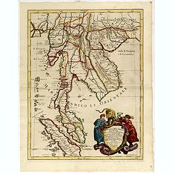
Giacomo Rossi's fine late 17th-century map of Malaysia, Thailand, Cambodia and part of Sumatra. Issued in Il Mercurio geografico In the lower right-hand corner a large ti...
- $2500 / ≈ €2339
Place & Date: Rome, 1683-1688
Penisola Dell India di la dal Gange Diusa ne i Regni, che in essasi contengono et accresciuta di varie notizie. Da Giacomo Cantelli da Vignola e conforme le Relationi di alcuni Padri della Compa di Giesu di Monsu Tavernier . . .
Giacomo Rossi's fine late 17th-century map of Malaysia, Thailand, Cambodia and part of Sumatra. The region is shown divided into kingdoms, including Tonkin, Cochinchina, ...
- $2200 / ≈ €2059
Place & Date: Rome, 1683-1688
Het Beloofde Landt Canaan door wandelt onser Saligmaecker Jesu Christo neffens sijne Apostelen.
Fine map of the Land of Canaan or the Promised Land with north oriented to right. Large decorative title cartouche at bottom surrounded by vignettes depicting birth, deat...
Place & Date: Amsterdam, 1688
Penisola Dell India di la dal Gange Diusa ne i Regni, che in essasi contengono et accresciuta di varie notizie. Da Giacomo Cantelli da Vignola e conforme le Relationi di alcuni Padri della Compa di Giesu di Monsu Tavernier . . . 1683
Giacomo Rossi's fine late 17th century map of Malaysia, Thailand, Cambodia and part of Sumatra.. Engraved by Franciscus Donia. Issued in Il Mercurio geografico In lower r...
Place & Date: Rome, 1683-1688
Constantinopolitanae urbis effigies ad vivum expressa.
Extremely rare panoramic view of Istanbul published by Jacob Koppmayr. With a numbered key (1-29) to principal places in town. Jacob Koppmayr was a printer and publisher ...
- $900 / ≈ €842
Place & Date: Augsburg, 1689
Die Grosse Tartari.
Rare map showing Siberia, Korea with part of the Caspian Sea to the West, as well as India and North Russia. The title in an oval cartouche in upper right cornerThe map r...
- $1000 / ≈ €936
Place & Date: Augsburg, 1689
Femme Turque vestue a la moresque.
Beautiful engraving by Henri Bonnart (1642?-1711) vis-à-vis les Mathurins au Coq. Printed with the privilege of the King.
- $200 / ≈ €187
Place & Date: Paris, 1690
Jerusalem.
Magnificent bird's eye- of Jerusalem. Etched by Gaspar Bouttats (1640-1695).The Antwerp based publisher Jacques Peeters published ca. 1690 a series of prints related to t...
- $100 / ≈ €94
Place & Date: Antwerp, c.1690
Garde du corps de sa Hautesse. . .
Beautiful engraving by Henri Bonnart (1642?-1711) vis-à-vis les Mathurins au Coq. Printed with the privilege of the King.
- $150 / ≈ €140
Place & Date: Paris, c. 1690
Bethlehem.
Magnificent bird's eye- of Bethlehem. Etched by Gaspar Bouttats (1640-1695).The Antwerp based publisher Jacques Peeters published ca. 1690 a series of prints related to t...
- $100 / ≈ €94
Place & Date: Antwerp, c.1690
Fanar nel Arcipelago. (Phanar)
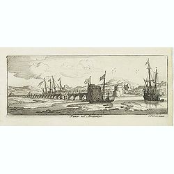
Magnificent bird's-eye town-view of Fanar or Phanar, a neighborhood midway up the Golden Horn, within the district of Fatih in Istanbul. Engraved by Lucas Vostermans II, ...
- $150 / ≈ €140
Place & Date: Antwerp, c.1690
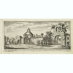
Gesicht in Jerusalem.
Magnificent bird's eye- of Jerusalem. Etched by Gaspar Bouttats (1640-1695).The Antwerp based publisher Jacques Peeters published ca. 1690 a series of prints related to t...
- $100 / ≈ €94
Place & Date: Antwerp, c.1690

![[Illustration from Hierusalemsche Reyse.] Interieur of Church of the Holy Sepulchre.](/uploads/cache/30796-250x250.jpg)
![Rama. [Ramah]](/uploads/cache/30789-250x250.jpg)
![Via Bethleem. [The route from Jerusalem to Bethlehem ]](/uploads/cache/30800-250x250.jpg)














-250x250.jpg)



![Isole dell 'India cioè le Molucche le Filippine e della Sonda . . . [East Indies].](/uploads/cache/39593-250x250.jpg)

