Browse Listings in Asia
Hong Kong.
Decorative poster advertising flights to Hong Kong made by Georges Mathieu. The poster is one of a series of 15 composed of posters of Greece, Israel, Germany, Great Bri...
Place & Date: Paris, 1967
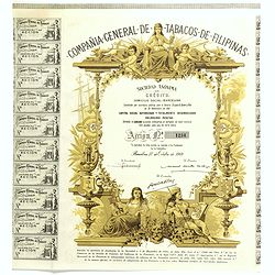
Compania General De Tabacos De Filipinas - (Certificate) Accion ordinarias de 500 Pesetas, Barcelona, 27.10.1969.
Beautifully engraved certificate from the Compania General De Tabacos De Filipinas issued in 1985. This historic document has an ornate border around it with a vignette o...
Place & Date: Barcelona, 1969
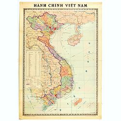
Hành Chính Việt Nam.
Uncommon map of Vietnam published in 1976, one year after the end of the Vietnam War. In April 1976, the National Assembly decided to reiterate Hanoi as the capital of th...
Place & Date: Hanoï, 1976
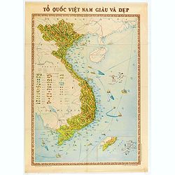
To Quoc Viet Nam Giau Va Dep (Vietnam).
Economic map of Vietnam published in 1976.Features Vietnam, Cambodia, Laos and part of Thailand. With a key referring to agricultural productions and fauna…The map show...
Place & Date: Hanoï, 1976
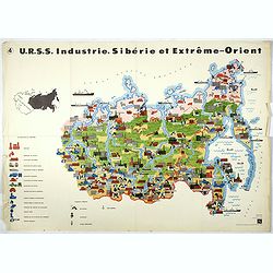
U.R.S.S. Industrie. Sibérie et Extreme-Orient. (4)
Map of Siberia. Propaganda poster for Russia's in and export of industrial goods from Siberia. Editions de l'Agence de presse Novosti".More about War Maps & Prop...
- $150 / ≈ €140
Place & Date: USSR, 1978
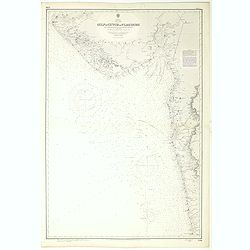
India west coast Gulf of Cutch to Vijaydurg . . .
Chart of India's west coast map surveyed by the hydrographer Captain JF Parry. A highly corrected version of Admiralty chart 2736 originally published 1st July 1915. Date...
- $200 / ≈ €187
Place & Date: London, 1915-1980
[Afghanistan].
A scarce Russian relief map (in Russian) of Afghanistan published in Moscow during the Soviet occupation of the country during the early 1980s. Complete with a separate b...
- $250 / ≈ €234
Place & Date: Moscow, 1982
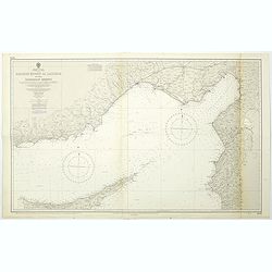
Anamu Buru to Latakia including Iskenderun Körfezi.
A highly corrected version of Admiralty chart 2632 originally published 25 November 1955 under the Superintendence of Captain K.SB. Collins. Edition Date 1984 Detailed ch...
- $100 / ≈ €94
Place & Date: London, 1955 - 1984
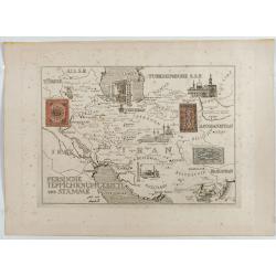
Persische Teppichknüpfgebiete und Stämme.
Map of Iran and neighboring countries in German language, published in limited edition probably in France : "Gravée à l'eau-forte et au burin. Edition limitée&quo...
Place & Date: France ?, after 1935 - before 1991
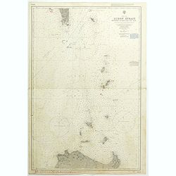
China Sea Luzon Strait between Luzon and Tai-Wan from the United States & Japanese Government chartsto 1929. . . (3804)
A highly corrected version of Admiralty chart 3804 originally published 18 September 1925 under the Superintendence of Captain P.H. Douglas. New Editions 18th December 19...
- $150 / ≈ €140
Place & Date: London, 1929 / 1992
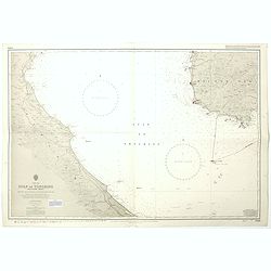
China sea Gulf of Tongking (Southern sheet).
A highly corrected version of Admiralty chart 3989 originally published 11 Mai 1962 under the Superintendence of Captain EG Irving. Detailed chart including the coasts of...
- $80 / ≈ €75
Place & Date: London, 1962 - 1992
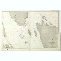
China Sea Philippine Islands - San Bernandino Strait and approaches. (3370)
A highly corrected version of Admiralty chart 3370 originally published 14th November 1924 under the Superintendence of Captain H.P. Douglas. Edition Date 1982 with furth...
- $150 / ≈ €140
Place & Date: London, 1924 / 1996
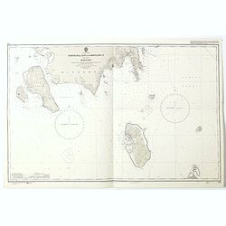
Philippine Islands - Semirara, Ilin and Ambulong 1.s with part of Mindoro. (971)
A highly corrected version of Admiralty chart 971 originally published 15th February 1866 under the Superintendence of Captain G.H. Richards. Edition Date 1991 with furth...
- $150 / ≈ €140
Place & Date: London, 1866 / 1999
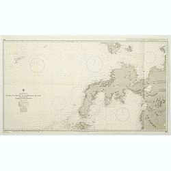
Philippine Islands - Mindanao West Coast - Basilan Strait to Camiguin Island including Tubbataha Reefs. . . (3811)
A highly corrected version of this oversized Admiralty chart 3811 originally published 26th February 1925 under the Superintendence of Captain P.H. Douglas. Edition Date ...
- $150 / ≈ €140
Place & Date: London, 1925 / 2005
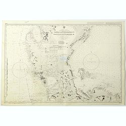
Philippine Islands - Luzon - west and east coast. Cabra I. to S.n Fernando P.t. Diapitan B. to S.n Miguel B. . . (3806)
Detailed chart of Luzon Island with Manila Bay, Cabra Island to S. Fernando Point Diapitan Bay to S. Miguel Bay.A highly corrected version of Admiralty chart 3806 origina...
Place & Date: London, 1922 / 2006
Selling price: $100
Sold in 2018
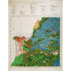
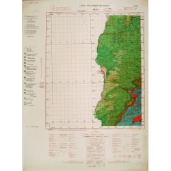
Carte géologique détaillée. Beyrouth.
Geological or soil map showing part of Lebanon with Beyrouth, including in top a colored legend with signs of the different geological ages. Provenance : Fondation P. Fal...
Place & Date: Liban, Service geographique des F.F.L., 1945.
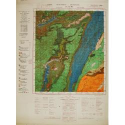
Carte géologique détaillée. Jezzîne.
Geological or soil map showing part of Lebanon with Jezzîne, including a legend with signs of the different geological ages and giving many information of greatest inter...
Place & Date: Liban, Service geographique des F.F.L., 1945.
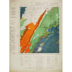
Carte géologique détaillée. Râchaïya Nord.
Geological or soil map showing part of Lebanon with Râchaïya , including a legend with signs of the different geological ages and giving many informations of greatest i...
Place & Date: Liban, Service geographique des F.F.L., 1945.
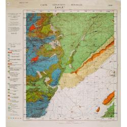
Carte géologique détaillée. Zahle.
Geological map showing part of Lebanon with Zahle. , including a legend with signs of the different geological ages. Provenance : Fondation P. Fallot
Place & Date: Liban, Service geographique des F.F.L., 1945.
Carte geologique detaillee. Jbail.
Geological or soil map showing part of Lebanon with Jbail antique Byblos Ancien Port phenicien / scale 1 : 50 000., including a legend with signs of the different geologi...
Place & Date: Liban, Service geographique des F.F.L., 1945.

![[Afghanistan].](/uploads/cache/44611-250x250.jpg)
