Search Listings matching "pictorial-maps" in Asia
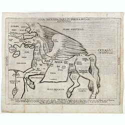
Asia secunda pars in forma Pegasi.
UNRECORDED PLATE or STATE. Asia depicted as the flying horse Pegasus. Below the depiction 3 lines of engraved Latin text. Double page copper engraved map from Heinrich BĂ...
Place & Date: Brunswick, ca. 1635
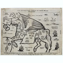
Asia secunda pars terrae in forma Pegasi.
Asia is depicted as the flying horse Pegasus. This cartographical curiosity, double-page copper engraved map, was published in Heinrich Bünting's “Itinerarium Sacrae S...
Place & Date: Brunswick, 1640
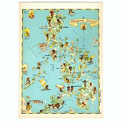
Philippines Islands.
Pictorial map of Philippines Islands, from the famous illustrator, Ruth Taylor White and published in "Our USA: A Gay Geography".Ruth Taylor White was among the...
Place & Date: Boston, Little, Brown and Company, 1935
Selling price: $250
Sold in 2018
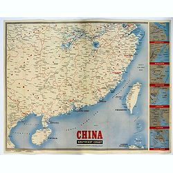
China Southeast Coast.
A very large US Army and Naval map of the south east coast of China, published during the second world war. Map extent is from Kweichow Province in the west, to Kwangsi P...
- $1250 / ≈ €1170
Place & Date: [New York], 1944
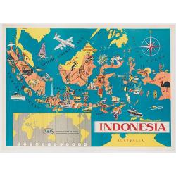
Indonesia.
Original vintage travel advertising issued by the Indonesian Council for Tourism featuring a colorful pictorial map marking the islands and oceans with images of local pe...
Place & Date: Jakarta, ca. 1955
