Browse Listings in America > South America > South America
[Columbus taken prisoner, and sent back to Spain.]
This engraving depicts the arrest of Columbus and his brothers. Bobadilla (sent by Spain, at Columbus’ request, to settle a revolt) reached Santo Domingo August 23, 150...
- $100 / ≈ €88
Place & Date: Frankfurt, M.Merian, 1633
Amerique Meridionale. Par N.Sanson d'Abbeville. . .
The first edition of a cornerstone South America map, the first to show the boundaries of many countries, regions, and provinces. Peru is shown governing a huge tract of ...
- $500 / ≈ €440
Place & Date: Paris, after 1650
Amerique Meridionale. . . 1650.
First edition. A fine large map of South America, engraved by A.Peyrounin. The relatively unknown Amazon region is left without speculation. However, Sanson includes the ...
- $450 / ≈ €396
Place & Date: Paris, 1650-1659
L'America Meridionale . . .
The second edition of Rossi's map of South America, based upon Sanson's map, but with revised Italian nomenclature. From his 'Mercurio Geografico...'. The engraver was G...
- $900 / ≈ €792
Place & Date: Rome, 1687
Nouvelle carte de geographie de .. Meridionale de l'Amerique
Chatelain's map of South America. The title is in two lines across the map. The tracks of Magellan, de la Maire, de Mendana, etc. are shown.On each side, borders appear a...
- $250 / ≈ €220
Place & Date: Amsterdam, 1719
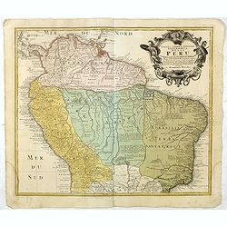
Tabula Americae Specialis Geographica Regni Peru, Brasiliae, Terra Firmae & Reg: Amazonum, Secundum relationes de Herrera, de Laet & PP d Acuña & M. Rodriguez . . .
A good and clean copy of Homann's map of the northern part of South America. The map is on the Valley of the Amazon and delineates the Amazon and its labyrinth of tributa...
Place & Date: Nuremberg, 1728
Carta geografica della america meridionale.
Uncommon map of South America based upon Guillaume De L'Isle's map. Includes the routes of early explorers in the Pacific, including Magellan, Drake, Le Maire, Mendana, V...
- $350 / ≈ €308
Place & Date: Venice, 1740
L'Amerique Meridionale Dressée sur les Observations..
Detailed map of South America prepared by De L'Isle, with fine title cartouche.The map is from a Dutch edition of De L'Isle's work entitled, Atlas Nouveau, Contenant Tout...
- $500 / ≈ €440
Place & Date: Amsterdam c. 1745
L'Amerique Meridionale Dressée sur les Observations . . .
Detailed map of South America prepared by De L'Isle, with fine title cartouche.
- $500 / ≈ €440
Place & Date: Amsterdam, ca. 1745
Amérique Méridionale.
Nice small map of South America. Dated 1748. From Atlas Portatif Universel, by Robert de Vaugondy.Page 105 outside border top right. Mary Sponberg Pedley does not mention...
- $75 / ≈ €66
Place & Date: Paris, later than 1748
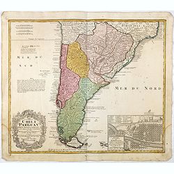
Typus Geographicus Chili Paraguay Freti Magellanici &c.
Detailed map covering the southern part of the continent based on the cartography of Delisle and the information gleaned from the voyages of Brouwer, Narbouroug and Beauc...
Place & Date: Nuremberg, 1750
Amerique méridionale. . .
Detailled map of South America from his "Atlas Universel".Gilles Robert de Vaugondy (1688–1766), also known as Le Sieur or Monsieur Robert, and his son, Didie...
- $150 / ≈ €132
Place & Date: Paris, 1750
L'amerique meridionale dressee sur les memoires le plus recens. . .
Rare and decorative map of South America with good detail and interesting notations concerning the explorations of the interior. With in the lower right corner a title ca...
- $550 / ≈ €484
Place & Date: Amsterdam, 1757
America Meridionalis.
The title cartouche lower left surrounded by native Indians and an Elephant.A rather accurate depiction and descriptions of South America. Brazil is slightly enlarged and...
Place & Date: Augsburg, c. 1760
America Meridionalis.
This is the more scarce edition with the title cartouche lower left surrounded by Neptune and a native Indian.A rather accurate depiction and descriptions of South Americ...
- $550 / ≈ €484
Place & Date: Augsburg, c. 1760
L'America meridionale divisa nei suoi principali stati.
Rare map of south America, from "Atlante Novissimo ad uso Dei Giovani Studiosi Contenuto In Carte XXVII.", published by Giovanni Zempel in Rome, ca. 1780.The ma...
- $100 / ≈ €88
Place & Date: Rome, 1780
Carte du Bresil le Perou. . .
Scarce map of Northern part of South America with Venezuela, Colombia, Brazil and Peru, prepared by Nolin and published by L.J. Mondhare for his Atlas Général a l'usage...
- $125 / ≈ €110
Place & Date: Paris, 1781
L'Amerique selon l'Etendue de Ses Principales Parties et don't les Points Principaux. . .
Uncommon map of South America, decorated with an elaborate cartouche referring to the conversion of the natives to Christianity, with natives bowing to a figure holding a...
- $600 / ≈ €528
Place & Date: Augsburg, ca. 1790
L'Amérique Méridionale, Divisée en ses Principaux Etats.
Map of South America, from Atlas de la Géographie de toutes les parties du monde .. Ouvrage destiné pour l'education, et nécessaire aux négocians, aux voyageurs, aux ...
Place & Date: Paris, Prudhomme, Levrault, Debray, 1806
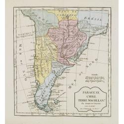
Paraguay, Chili, Terre Magellan ?
Map of Paraguay, Chili, and Argentina . By C. F. Delamarche, successor of Robert de Vaugondy, Geographer.
Place & Date: Paris, 1794 -1806
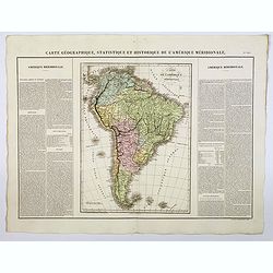
Carte Geographique, Statistique et Historique de l'Amerique Meridionale.
A nice detailed map of South America from Buchon's Atlas Gégraphique Statistique, historique et chronologique des deux Ameriques et des isles adjacentes traduit de l'atl...
Place & Date: Paris, 1825
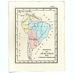
Prvinces des Jésuites dans l'Amerique méridionale.
Rare map of South America from "Atlas Universel indiquant les établissemens des Jésuites: avec la manière dont ils divisent la terre, suivi desévénemens remarqu...
- $200 / ≈ €176
Place & Date: Paris, Ambroise Dupont , 1826
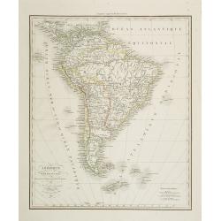
Amérique Méridionale . . .
Detailed map of South America, prepared by A. H. Basset, rue Saint-Jacques, no. 64, Paris and published in Atlas classique et Universel de Géographie . . . .The engraver...
- $100 / ≈ €88
Place & Date: Paris, A.H. Basset, 1828
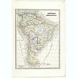
Amérique méridionale.
Detailed map of South America, prepared by Charles V. Monin (fl.1830-1880) a French cartographer of Caen and Paris. Published in Atlas Universel de Géographie Ancienne &...
- $45 / ≈ €40
Place & Date: Paris, 1845
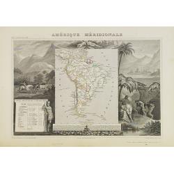
Amérique Méridionale.
A very decorative 19th century map of the continent colored to show political divisions. The map is surrounded by steel engraved scenes including horses, Indians, mining ...
Place & Date: Paris, c. 1850
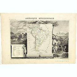
Amerique Meridionale.
A very decorative 19th century map of the continent colored to show political divisions. The map is surrounded by fully colored, steel engraved scenes including horses, I...
- $150 / ≈ €132
Place & Date: Paris, 1850
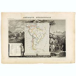
Amérique Méridionale.
Map of South America.Lovely map from one of the last decorative atlases of the nineteenth century.The rather simple map is framed by horses, Indians, jaguars, tapirs, and...
- $90 / ≈ €79
Place & Date: Paris, A. Combette, 1852
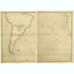
A general chart of the South Atlantic Ocean Drawn by J.W.Norie hydrographer. Revised & Corrected 1854.
A 2-sheet chart of the South Atlantic Ocean, showing the coast of South America from the mouth of the Amazon to Quito in Peru. The right hand part showing Africa's coast ...
- $600 / ≈ €528
Place & Date: London, 1854
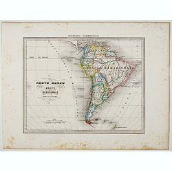
Nuovo Mondo parte Meridionale.
Uncommon map of South America prepared by Francesco Costantino Marmocchi. Above the map "Geografia Commerciale". From "Il Globo Atlante di carte Geografich...
Place & Date: Genova, Paolo Rivara fu Giacomo, 1858
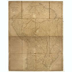
Mapa geogra´fico de la mayor parte de la Ame´rica Meridional que contiene los paises por donde debe trazarse la li´nia divisoria que divida los dominios de Espan~a y Portugal. . .
Rare first edition of the map drawn by Francisco Requena (1743-1824) after his expedition to the Amazon in order to delineate the boundary between the Spanish and Portugu...
Place & Date: Bourquin, F. Philadelphia, ca. 1876
[South America].
Alexey Afinogenovich Ilyin was a lieutenant general and cartographer (1832-1889). In 1856, after graduating from the Academy of the General Staff, he was at the military ...
- $100 / ≈ €88
Place & Date: St. Petersburg, 1899
S America by Mas T.J. Sackels.
Pen and ink on card board. Map of South America drawn by T.J.Shackels. Probably a school exercise.
- $120 / ≈ €106
Place & Date: England, ca. 1900
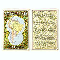
America del Sur Filatelica.
Unique manuscript map of South America. Award-winning manuscript card, prepared by Antonio Raggio for the 11th Congreso de la Union Postal Universal (World Postal Congres...
Place & Date: Buenos Aires, 1939
![[Columbus taken prisoner, and sent back to Spain.]](/uploads/cache/40358-250x250.jpg)






![[South America].](/uploads/cache/46140-250x250.jpg)

