Browse Listings in America > South America > Magallan / Tierra del Fuego
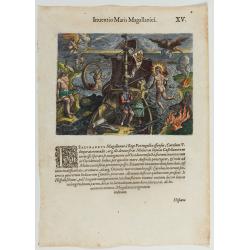
Inventio Maris Magallanici.
Allegorical scene allegorical image celebrating the circumnavigation of the earth by Ferdinand Magellan. The image shows Magellan on board of his ship, surrounded by myth...
- $750 / ≈ €702
Place & Date: Frankfurt, 1594
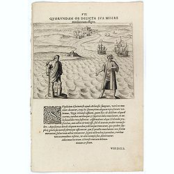
VII. Quorundam ob Delicta sua misere mutilatorum effigies.
This shows Sebald van de Weert, the Dutch sailor who emerged from the Magellan Straits in 1600 and spotted the rocky islands off the coast of South America. For most of t...
Place & Date: Frankfurt, 1609
Caarte vande nieuwe Passagie bezuijden de Strate Magellan. . . / Description de nouveau passage vers le zud du destroit de Maggellan. . .
Map showing the new route around the bottom of South America discovered by Schouten and Le Maire: through the Le Maire Strait, around the Barnevelt Islands, and past Cape...
- $600 / ≈ €561
Place & Date: Frankfurt am Main, 1619
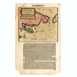
Sudseite des Landts Terza del Fuoco, abgezeichnet durch Iohan von Walbeck.
Map showing Cap Horn and the Terra del Fuego.From a German text edition of Theodor de Bry's travel book. The original copper plate is now shortened at the left side and h...
- $550 / ≈ €515
Place & Date: Frankfurt am Main, 1630
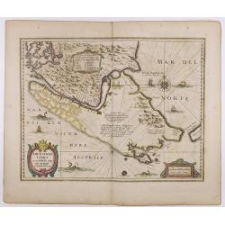
Freti Magellanici ac novi Freti vulgo Le Maire. . .
A fine map of Tierra del Fuego. With an explanatory text of the passage by Barent Jansz. Potgieter who accompanied captain Sebald de Weert to the Straits in 1599/1600, be...
- $750 / ≈ €702
Place & Date: Amsterdam, ca. 1633
(Native population of Tierra del Fuego attacking some Dutchmen)
Native population of Tierra del Fuego attacking some Dutchmen. In the background anchored ships. Illustrating the account of the expedition of Jacobus L'Hermite.With nati...
- $100 / ≈ €94
Place & Date: Frankfurt, M.Merian, 1633
Tabula Magellanica.
A map with Willem Blaeu's signature, but published by his son Joan, of South America's extremity. A dedication to Constantijn Huygens. From early on Willem Jansz. Blaeu ...
- $1000 / ≈ €936
Place & Date: Amsterdam, 1644
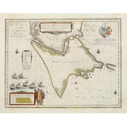
Tabula Magellanica.
A map with Willem Blaeu's signature, but published by his son Joan, of South America's extremity with the Strait of Magellan and Le Maire Strait.The coastlines are depict...
Place & Date: Amsterdam, 1658
Karte der Magellanischen-Strasse. . .
Very detailed map of Strait of Magellan, with in top inset map of Southern tip of South America with the Falklands. Prepared by Don Juan de La Cruz of Spain.Engraved by J...
- $600 / ≈ €561
Place & Date: Vienna, 1789
Uomo del Canale di Noël della terra del Fuoco, nel Mar Australe. / Homme du Canal de Noël de la terre de Feu dans la Mer Australe.
Full portrait of a man from the Tierra del Fuego. From "Raccolta di ? stampe." a series of historically significant eighteenth-century copper plate engravings b...
- $250 / ≈ €234
Place & Date: Venice, Antonio Zatta, c.1790
[Yacanacus inhabitants of Tierra del Fuego ].
Aquatint depicting Yacanacus natives of Tierra del Fuego.Engraved by Gallina.From Giulio Ferrario's work Le Costume Ancien et Moderne ou Histoire du gouvernement, de la m...
- $100 / ≈ €94
Place & Date: Milan, 1827
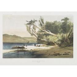
Rivage du port Saint-Nicolas.
Exquisite contemporary colored lithograph of Port Saint-Nicolmas Bay in most southern part of South America, with Dumont D'Urville's officers making landfall. Drawn by E....
Place & Date: Paris, 1846
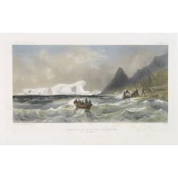
Débarquement sur les iles Powell, le 20 février 1838.
Exquisite contemporary colored lithograph of the Powell islands, situated near the South Orkney Islands, with Dumont D'Urville's officers leaving the island. Drawn by Lou...
- $400 / ≈ €374
Place & Date: Paris, 1848
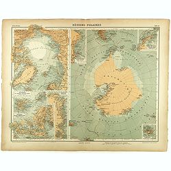
Régions Polaires.
Eight maps on one sheet, showing the North and South Poles, with adjective regions. Taken from "Atlas Universel" by Chesneau and Ch. Bonnesseur. Engraved by R. ...
- $50 / ≈ €47
Place & Date: Paris, 1931





![[Yacanacus inhabitants of Tierra del Fuego ].](/uploads/cache/27304-250x250.jpg)
