Search Listings matching "sea-chart" in Africa > North Africa
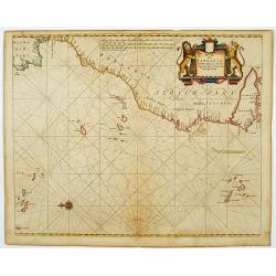
De Cust van Barbaria, Gualata, Arguyn, en Gene..heo, van Capo S.Vincente tot Capo Verde.
An eye-catching chart of the north western coast of Africa. Including Canary Islands, Cape Verde Islands and Azores.Pieter Goos (ca. 1616-1675) was one of the most import...
Place & Date: Amsterdam, 1666
De Cust van Barbaryen van out Mamora tot Capo Blanco..
Six charts on one sheet. The two upper charts covering an area from Cape Blanc to Casablanca. In lower part four insets with detailed charts of islands as Madera, Porto S...
Place & Date: Amsterdam, 1666
Red Sea - Strait of Jubal.. [2838]
Large chart focused on the Strait of Jubal in the Gulf of Suez. With the Juzur Tawilah Islands at the center and an inset plan of the Tur Harbour (At Tur, South Sinai) o...
- $500 / ≈ €440
Place & Date: London (1853) corrected for 1862
Carte particuliere de la cote septentrionale d'Afrique. (13eme feuille)
A fine French Service Hydrograhique de la Marine chart no. 3424, showing Cape Rose and Cap Nègre, in Algeria, drawn in 1873 by E. Mouchez, updated to 1913. Chart engrave...
- $80 / ≈ €70
Place & Date: Paris, 1873 / 1913


![Red Sea - Strait of Jubal.. [2838]](/uploads/cache/23496-250x250.jpg)
