Search Listings matching "post-road"
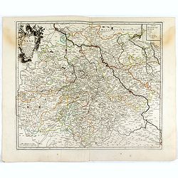
La Saxe Contenant le Routes et les postes. . .
Fine post-route map of Saxony in Germany with a splendidly engraved title cartouche. The map is centered on Leipzig. George Louis Le Rouge was active between 1740 and 178...
Place & Date: Paris, 1756
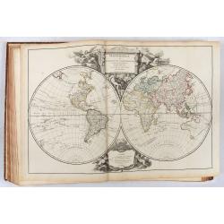
Atlas Universel Par M. Robert Geographe ordinaire du Roy
The first edition of one of the most important 18th-century atlases and one of the great achievements of the French Enlightenment and one of the first atlases based on sc...
Place & Date: Paris, 1757
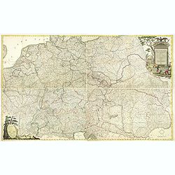
Deutschlands Postkarte begraenzt von Oesterreich, Preussen, Frankreich, Holland, Italien und der Schweiz. . .
Detailed and important post road map prepared by Ignaz Heymann. The map shows, the Low Countries, Germany, Poland, Austria, Hungary, etc.Borders in original out-line colo...
Place & Date: Triest, 1800
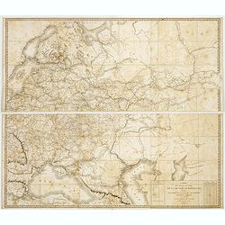
Carte des routes de poste de la Russie européenne, exécutée par ordre de S.E.M. le duc de Feltre ministre de la Guerre, ...
Post-route map on a scale of 1:2 500 000 made during the French campaign in Russia, which began June 24, 1812. With a table of the conventional signs and a table of conve...
Place & Date: Paris, Dépôt Général de la Guerre 1812
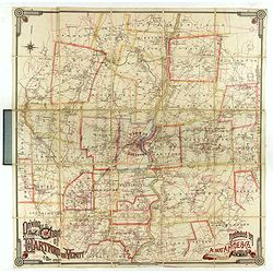
Driving chart of Hartford and vicinity : 15 miles around.
Road map by Albert A. Hyde & Co. of Hartford and vicinity, with the Connecticut River in the center. Published by Albert A. Hyde & Co., in New York and lithograph...
Place & Date: New York / Philadelphia, 1884
